Coed y Neuadd

Hill, Mountain in Montgomeryshire

Wales

Coed y Neuadd

Llanwyddelan church from the north-west The church is dedicated to St Gwyddelan. Gwyddelan (the little Irishman) was a Celtic missionary from Ireland who arrived in about the year AD 600. The church was completely rebuilt in 1865.
Llanwyddelan church from the north-west Credit: Christine Johnstone

Coed y Neuadd is a hill located in Montgomeryshire, Wales. It is part of the Berwyn range and is situated near the village of Llangynog. The hill reaches a height of 827 meters (2,713 feet) above sea level, making it a popular destination for hikers and outdoor enthusiasts.

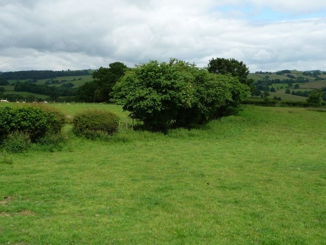
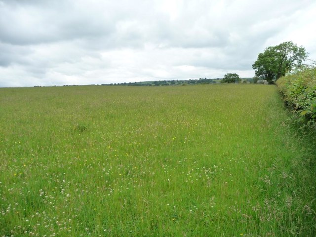
The landscape of Coed y Neuadd is characterized by rugged terrain, with steep slopes and rocky outcrops. The hill is covered in a mixture of heather, grasses, and bracken, creating a picturesque scene that changes color with the seasons.

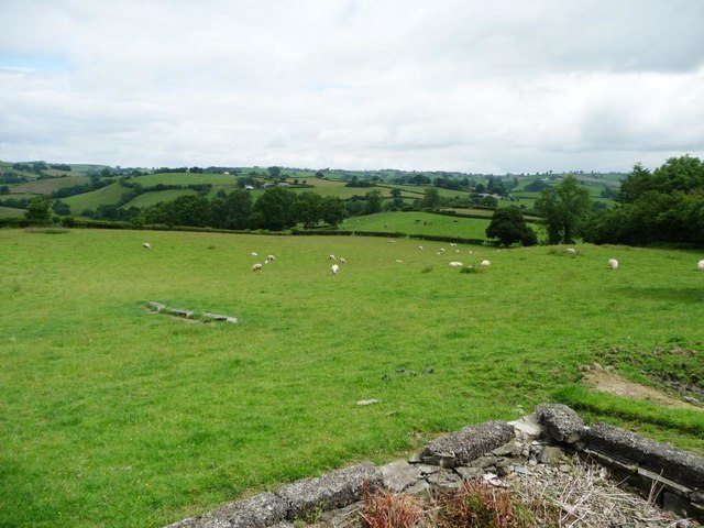
Visitors to Coed y Neuadd can enjoy stunning views of the surrounding countryside, including the valleys and hills of Montgomeryshire. The hill is also home to a variety of wildlife, including birds of prey such as buzzards and kestrels, as well as sheep and other grazing animals.

For those looking to explore the outdoors and experience the natural beauty of Wales, Coed y Neuadd offers a challenging yet rewarding hiking experience. Whether climbing to the summit or simply enjoying a leisurely walk through the rolling hills, visitors are sure to be impressed by the rugged beauty of this Montgomeryshire hill.

If you have any feedback on the listing, please let us know in the comments section below.

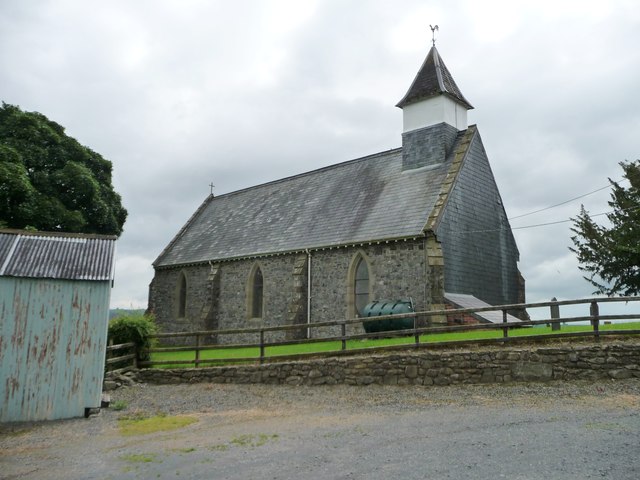
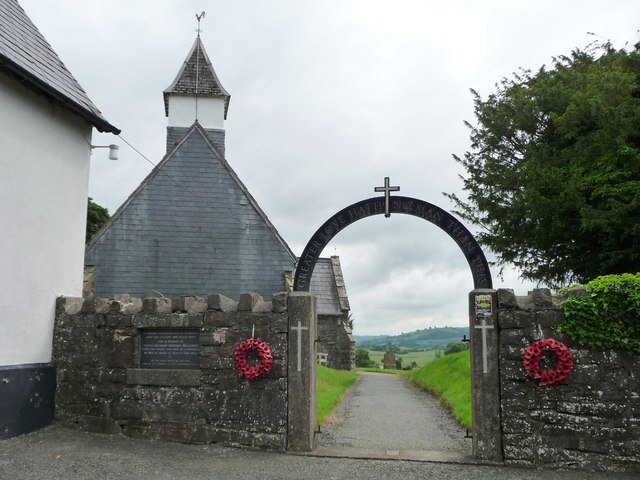
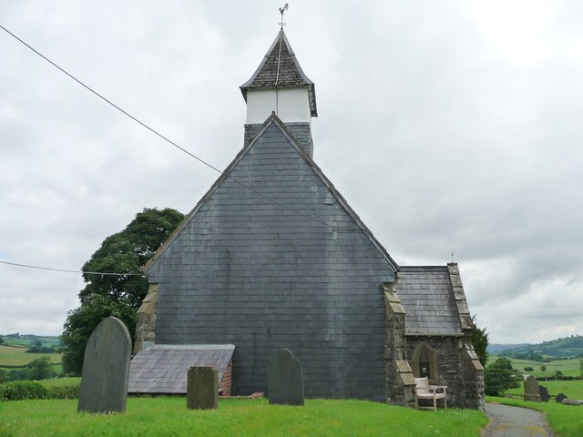
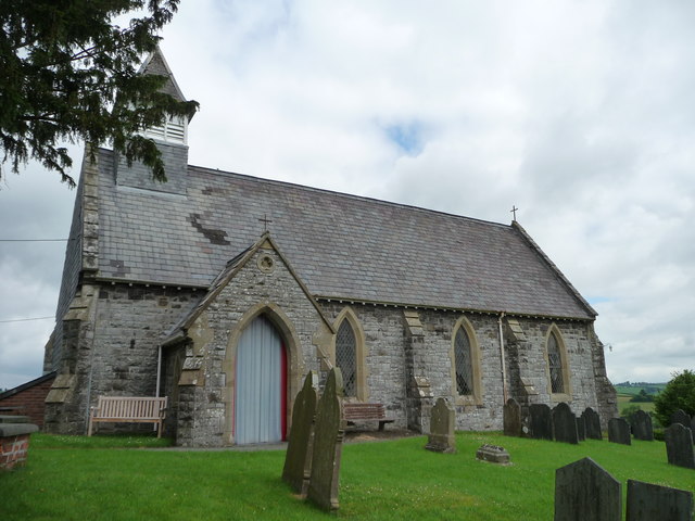
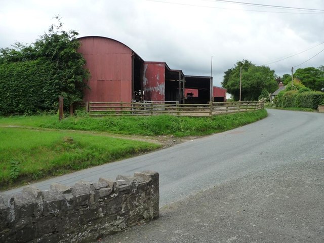
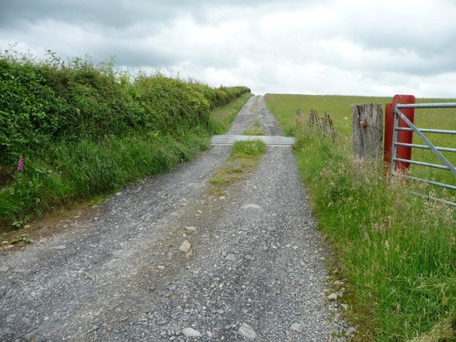
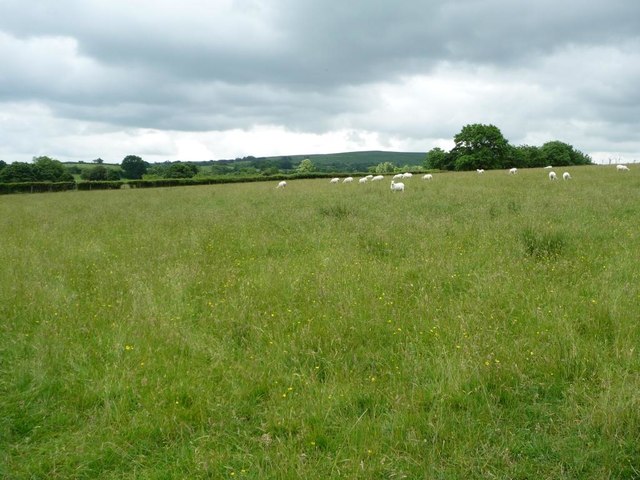
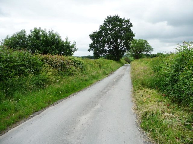
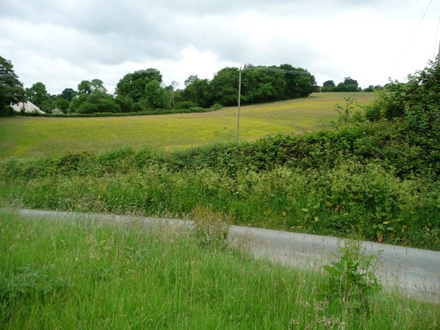
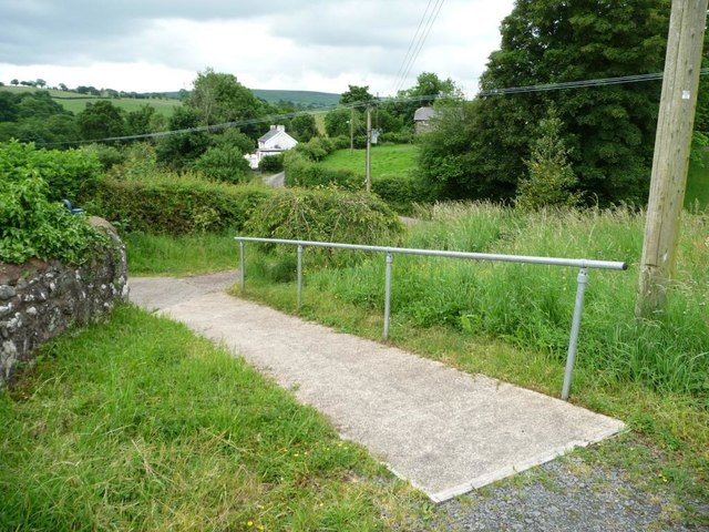
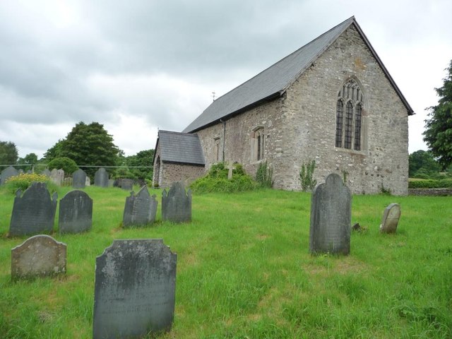
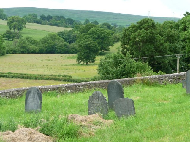
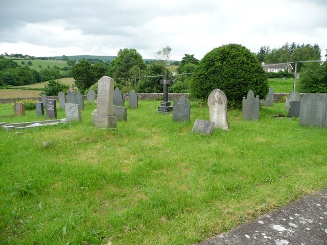
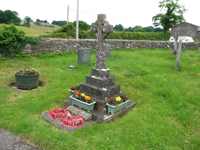
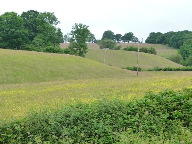
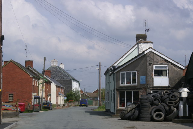
Coed y Neuadd Images

Images are sourced within 2km of 52.607707/-3.376576 or Grid Reference SJ0601. Thanks to Geograph Open Source API. All images are credited.

Llanwyddelan church from the north-west The church is dedicated to St Gwyddelan. Gwyddelan (the little Irishman) was a Celtic missionary from Ireland who arrived in about the year AD 600. The church was completely rebuilt in 1865.
Llanwyddelan church from the north-west
The church is dedicated to St Gwyddelan. Gwyddelan (the little Irishman) was a Celtic missionary from Ireland who arrived in about the year AD 600. The church was completely rebuilt in 1865.
Gate of thanksgiving for victory and peace, Llanwyddelan The western entry to the churchyard. The plaque gives thanks for the end of the Second World War, and also remembers Sapper Richard Edward Richards, who died in a Japanese prisoner of war camp on 26th August 1944.
Gate of thanksgiving for victory and peace, Llanwyddelan
The western entry to the churchyard. The plaque gives thanks for the end of the Second World War, and also remembers Sapper Richard Edward Richards, who died in a Japanese prisoner of war camp on 26th August 1944.
West end, St Gwyddelan's Church, Llanwyddelan Slate hung for protection against the prevailing wet weather from the south-west. Gwyddelan (the little Irishman) was a Celtic missionary from Ireland who arrived in about the year AD 600. The church was completely rebuilt in 1865.
West end, St Gwyddelan's Church, Llanwyddelan
Slate hung for protection against the prevailing wet weather from the south-west. Gwyddelan (the little Irishman) was a Celtic missionary from Ireland who arrived in about the year AD 600. The church was completely rebuilt in 1865.
Llanwyddelan church from the south The church is dedicated to St Gwyddelan. Gwyddelan (the little Irishman) was a Celtic missionary from Ireland who arrived in about the year AD 600. The church was completely rebuilt in 1865.
Llanwyddelan church from the south
The church is dedicated to St Gwyddelan. Gwyddelan (the little Irishman) was a Celtic missionary from Ireland who arrived in about the year AD 600. The church was completely rebuilt in 1865.
Barns at Ty Coch, Llanwyddelan Painted in the right colour - 'Ty Coch' is Welsh for Red House.
Barns at Ty Coch, Llanwyddelan
Painted in the right colour - 'Ty Coch' is Welsh for Red House.
Sheep grazing, Llanwyddelan On the north side of the churchyard.
Sheep grazing, Llanwyddelan
On the north side of the churchyard.
Sheep pasture, Llanwyddelan North of the churchyard.
Sheep pasture, Llanwyddelan
North of the churchyard.
Meadow, north of Adfa On the west side of the road to Llanllugan. About 250 metres above sea level.
Meadow, north of Adfa
On the west side of the road to Llanllugan. About 250 metres above sea level.
259 metre spot height on a farm track north of Adfa The track heads west from the Adfa - Llanllugan road. It is not a public footpath.
259 metre spot height on a farm track north of Adfa
The track heads west from the Adfa - Llanllugan road. It is not a public footpath.
Grazing sheep, north of Adfa On the west side of the road to Llanllugan.
Grazing sheep, north of Adfa
On the west side of the road to Llanllugan.
The road from Llanllugan to Adfa Heading south.
The road from Llanllugan to Adfa
Heading south.
Farmland on the north side of Llanllugan Looking westwards from the church car park.
Farmland on the north side of Llanllugan
Looking westwards from the church car park.
Path down from the churchyard, Llanllugan Leading towards the crossroads at the western end of the village.
Path down from the churchyard, Llanllugan
Leading towards the crossroads at the western end of the village.
St Mary's Church, Llanllugan, form the south-east Built in the late 1300s or 1400s.
St Mary's Church, Llanllugan, form the south-east
Built in the late 1300s or 1400s.
Churchyard retaining wall, St Mary's, Llanllugan Several Montgomeryshire churches are set within raised, partly-circular churchyards, apparently indicating early medieval origins.
Churchyard retaining wall, St Mary's, Llanllugan
Several Montgomeryshire churches are set within raised, partly-circular churchyards, apparently indicating early medieval origins.
South-eastern corner, St Mary's churchyard Fewer of the modern headstones are made of slate.
South-eastern corner, St Mary's churchyard
Fewer of the modern headstones are made of slate.
War memorial, Llanllugan churchyard Commemorating the six villagers who died in the Great War 1914 -1919.
War memorial, Llanllugan churchyard
Commemorating the six villagers who died in the Great War 1914 -1919.
Golden fields, Llanllugan A folded landscape on the north side of the village.
Golden fields, Llanllugan
A folded landscape on the north side of the village.
Show me another place!

Coed y Neuadd is located at Grid Ref: SJ0601 (Lat: 52.607707, Lng: -3.376576)

Unitary Authority: Powys

Police Authority: Dyfed Powys

What 3 Words

///ordeals.coiling.original. Near Llanfair Caereinion, Powys

Nearby Locations

Adfa Coed y Neuadd

Related Wikis

Llanllugan Abbey

Llanllugan Abbey was a monastery of Cistercian nuns located at Llanllugan, Powys, Wales. It was one of only two Cistercian women's monasteries in Wales...

Adfa, Powys

Adfa is a village in the Welsh county of Powys, in mid Wales. It is in the historic county of Montgomeryshire. == External links == Photos of Adfa and...

Cefn Coch

Cefn Coch is a small village or hamlet near Llanfair Caereinion in Mid Wales, located at grid reference SJ 0482 0284. In 2012, the village was chosen as...

River Rhiw

The River Rhiw (Welsh: Afon Rhiw meaning 'slope river' or 'stream river') is a short river in the north of Powys in Wales. Two headwater tributaries both...

Nearby Amenities

Located within 500m of 52.607707,-3.376576
Place: farm
Lat/Long: 52.6093257/-3.3828564
Direction: 195
Generator Method: photovoltaic
Generator Output Electricity: yes
Generator Solar Modules: 4
Generator Source: solar
Generator Type: solar_photovoltaic_panel
Location: roof
Power: generator
Lat/Long: 52.606393/-3.3734538
Direction: 195
Generator Method: photovoltaic
Generator Output Electricity: yes
Generator Solar Modules: 6
Generator Source: solar
Generator Type: solar_photovoltaic_panel
Location: roof
Power: generator
Lat/Long: 52.6063885/-3.3734089
Direction: 195
Generator Method: photovoltaic
Generator Output Electricity: yes
Generator Solar Modules: 6
Generator Source: solar
Generator Type: solar_photovoltaic_panel
Location: roof
Power: generator
Lat/Long: 52.6063689/-3.3733258
Direction: 195
Generator Method: photovoltaic
Generator Output Electricity: yes
Generator Solar Modules: 8
Generator Source: solar
Generator Type: solar_photovoltaic_panel
Location: roof
Power: generator
Lat/Long: 52.606307/-3.3728671
Direction: 195
Generator Method: photovoltaic
Generator Output Electricity: yes
Generator Solar Modules: 8
Generator Source: solar
Generator Type: solar_photovoltaic_panel
Location: roof
Power: generator
Lat/Long: 52.6063005/-3.3728108
Direction: SE
Generator Method: photovoltaic
Generator Output Electricity: yes
Generator Solar Modules: 15
Generator Source: solar
Generator Type: solar_photovoltaic_panel
Location: roof
Power: generator
Lat/Long: 52.6089001/-3.3825767
The data included in this document is from www.openstreetmap.org. The data is made available under ODbL.

Have you been to Coed y Neuadd?

Leave your review of Coed y Neuadd below (or comments, questions and feedback).