Bught Shank

Hill, Mountain in Peeblesshire

Scotland

Bught Shank

Quarry, Tweeddale In the vast forests beside the A701. In recent years there has been a lot of clear felling. An older photo: <a href="https://www.geograph.org.uk/photo/163740">NT0518 : Disused Quarry</a>.
Quarry, Tweeddale Credit: Richard Webb

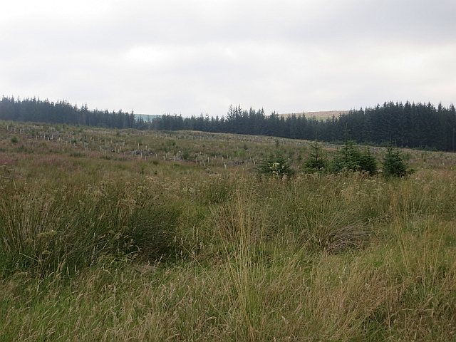
Bught Shank is a prominent hill located in Peeblesshire, Scotland. It is situated near the town of Peebles and forms part of the picturesque Scottish Borders region. Rising to an elevation of approximately 340 meters (1,115 feet), Bught Shank offers breathtaking panoramic views of the surrounding countryside.

The hill features a distinctive conical shape with a gently sloping terrain, making it accessible for hiking and exploration. Its location within the Scottish Borders allows for stunning vistas of rolling hills, verdant farmland, and the meandering River Tweed.

Bught Shank is a popular destination for outdoor enthusiasts and nature lovers. Its well-maintained trails provide opportunities for walkers and hikers of all abilities to enjoy the scenic beauty of the area. The summit of Bught Shank offers a rewarding view, rewarding visitors with sweeping vistas of the Tweed Valley and the surrounding hills.

The area around Bught Shank is rich in wildlife, with various bird species, including buzzards and kestrels, frequently spotted soaring above. The hillside is adorned with colorful wildflowers during the spring and summer months, adding to the natural charm of the landscape.

Whether it's a leisurely stroll or a more challenging hike, Bught Shank offers a peaceful and serene escape from the hustle and bustle of everyday life. Its natural beauty and captivating views make it a must-visit destination for those exploring the Scottish Borders.

If you have any feedback on the listing, please let us know in the comments section below.
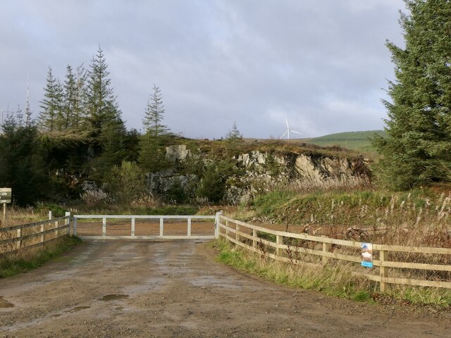
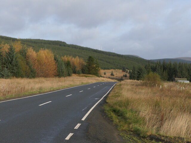
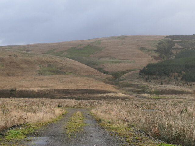
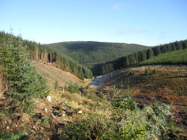
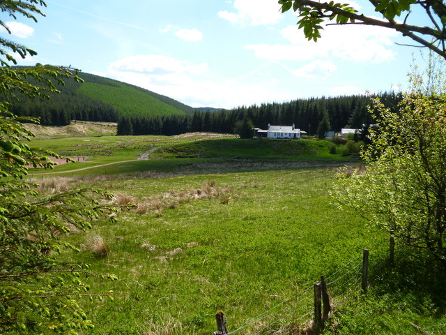
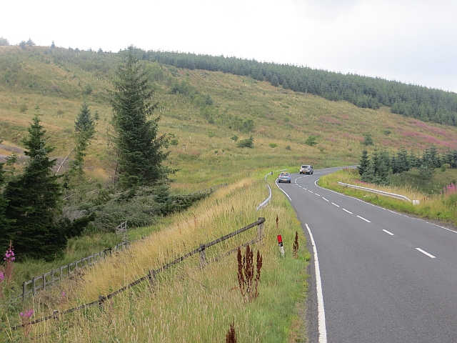
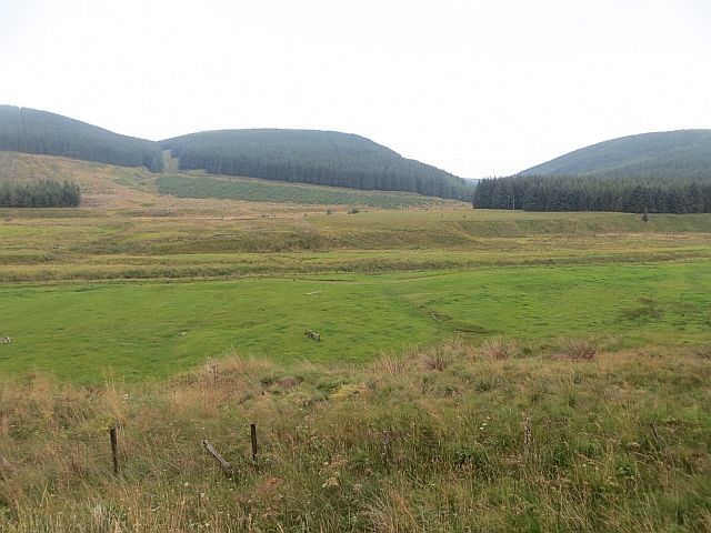
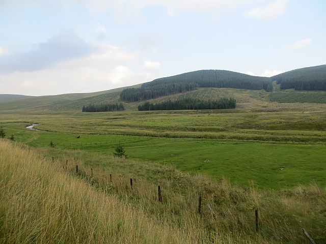
Bught Shank Images

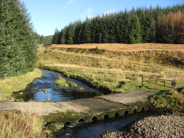
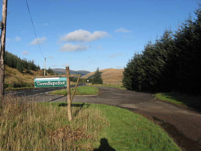
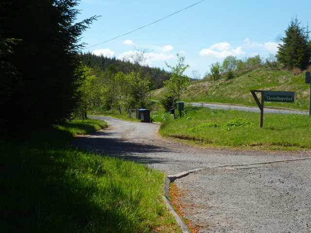
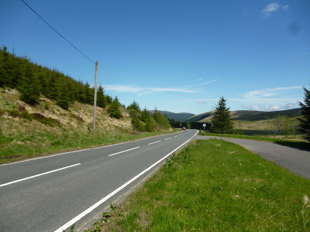
Images are sourced within 2km of 55.443528/-3.4744026 or Grid Reference NT0617. Thanks to Geograph Open Source API. All images are credited.

Quarry, Tweeddale In the vast forests beside the A701. In recent years there has been a lot of clear felling. An older photo: <a href="https://www.geograph.org.uk/photo/163740">NT0518 : Disused Quarry</a>.
Quarry, Tweeddale
In the vast forests beside the A701. In recent years there has been a lot of clear felling. An older photo: NT0518 : Disused Quarry.
Second generation conifers, Tweeddale The next crop growing beside the A701.
Second generation conifers, Tweeddale
The next crop growing beside the A701.
Young trees, Tweeddale
Stell, Hawkshaw Burn Rough grazing near Fruid.
Stell, Hawkshaw Burn
Rough grazing near Fruid.
Hawkshaw Burn View from Carterhope Rig.
Hawkshaw Burn
View from Carterhope Rig.
Craigmaid Seen across the gathering grounds of the Hawkshaw Burn
Craigmaid
Seen across the gathering grounds of the Hawkshaw Burn
Head of the Hawkshaw Burn A quadbike track, so useful in this tussock filled wet wasteland recedes into the distance - it looks like desert, but is a bog.
Head of the Hawkshaw Burn
A quadbike track, so useful in this tussock filled wet wasteland recedes into the distance - it looks like desert, but is a bog.
Stell, Hawkshaw Burn Wet grazing which so far has dodged the Sitka and wind turbines.
Stell, Hawkshaw Burn
Wet grazing which so far has dodged the Sitka and wind turbines.
River Tweed in its Infancy Tweed near its source. Dropping down between Tweedhopefoot Rig and Badenhay Rig and soon to be joined by the Cor Water.
River Tweed in its Infancy
Tweed near its source. Dropping down between Tweedhopefoot Rig and Badenhay Rig and soon to be joined by the Cor Water.
Ford over the Cor Water This ford is near to Tweedhopefoot and crosses above where Tweed and Cor Water
meet.
Ford over the Cor Water
This ford is near to Tweedhopefoot and crosses above where Tweed and Cor Water meet.
Tweedhopefoot Entrance leading to the steading at Tweedhopefoot from the A701.
Useful layby here.
Tweedhopefoot
Entrance leading to the steading at Tweedhopefoot from the A701. Useful layby here.
Upper Tweed Valley:  Lane to Tweedhopefoot Off the A701, looking south
Upper Tweed Valley: Lane to Tweedhopefoot
Off the A701, looking south
Upper Tweed Valley:  The A701 near Tweedhopefoot The A701 is the main route connecting the M74 near Moffat with Edinburgh.  It is avery scenic route
Upper Tweed Valley: The A701 near Tweedhopefoot
The A701 is the main route connecting the M74 near Moffat with Edinburgh. It is avery scenic route
Upper Tweed Valley:  Tweedhopefoot Hill farm
Upper Tweed Valley: Tweedhopefoot
Hill farm
Crossing the Smidhope Burn Once there was sharper bend here and in one day I witnessed two crashes here due to ice. I was a passenger in one of them.
Crossing the Smidhope Burn
Once there was sharper bend here and in one day I witnessed two crashes here due to ice. I was a passenger in one of them.
Tweedhopefoot A field amongst the forestry.
Tweedhopefoot
A field amongst the forestry.
Tweedhopefoot Improved grassland amongst Sitka plantations.
Tweedhopefoot
Improved grassland amongst Sitka plantations.
Young trees A second generation of Sitka spruce.
Young trees
A second generation of Sitka spruce.
Show me another place!

Bught Shank is located at Grid Ref: NT0617 (Lat: 55.443528, Lng: -3.4744026)

Unitary Authority: The Scottish Borders

Police Authority: The Lothians and Scottish Borders

What 3 Words

///explorer.dynasties.picture. Near Moffat, Dumfries & Galloway

Related Wikis

Fruid Reservoir

Fruid is a small reservoir in the Scottish Borders area of Scotland, UK, near Menzion. It is formed by damming the Fruid Water, and supplements the contents...

Annanhead Hill

Annanhead Hill is a 478-metre (1,568 ft) summit in the Moffat Hills of Scotland. It lies on the boundary between the Scottish Borders and Dumfries and...

Fruid Water

Fruid Water is a river in the Scottish Borders area of Scotland. The valley it occupies has been dammed to form the Fruid Reservoir. The river is a tributary...

Devil's Beef Tub

The Devil's Beef Tub (Marquis of Annandale's Beef-Tub, Beef-Stand, MacCleran's Loup) is a deep, dramatic hollow in the hills north of the Scottish town...

Have you been to Bught Shank?

Leave your review of Bught Shank below (or comments, questions and feedback).