Branders Hill
Hill, Mountain in Perthshire
Scotland
Branders Hill
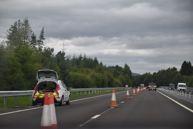
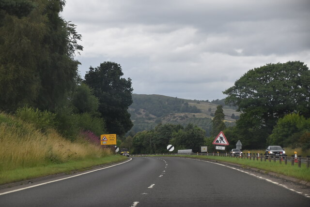
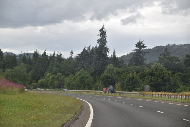
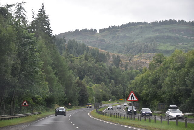
Branders Hill is a prominent hill located in the picturesque region of Perthshire, Scotland. Situated near the village of Auchterarder, it forms part of the Ochil Hills, which stretch from Stirling to Perth. With an elevation of approximately 427 meters (1,401 feet), it offers breathtaking panoramic views of the surrounding countryside.
This hill is a popular destination for hikers, nature enthusiasts, and photographers. Its well-maintained trails and accessible paths make it suitable for people of all fitness levels. The ascent to the summit is relatively moderate, making it an ideal location for a leisurely walk or a family outing.
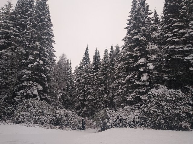
The hill is covered in a lush carpet of heather and bracken, adding a burst of color during the summer months. The diverse flora and fauna found in the area include wildflowers, foxes, rabbits, and a wide variety of bird species. The hill's unique geological features, such as rocky outcrops and glacial deposits, further enhance its natural beauty and appeal.
At the top of Branders Hill, visitors are rewarded with breathtaking views of the surrounding countryside. On clear days, it is possible to see as far as the Trossachs and the Grampian Mountains. The tranquil atmosphere and peaceful surroundings make it a perfect spot for picnics or simply enjoying the serenity of nature.
Branders Hill is easily accessible by car, with parking available near the village of Auchterarder. It offers a wonderful opportunity to connect with nature and explore the stunning landscapes of Perthshire.
If you have any feedback on the listing, please let us know in the comments section below.
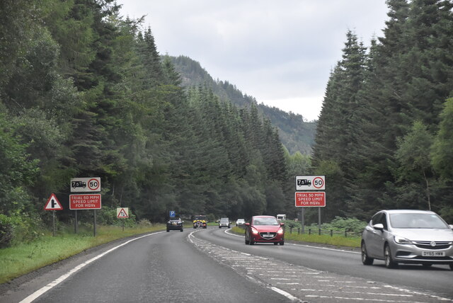
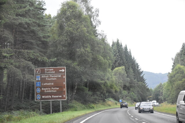
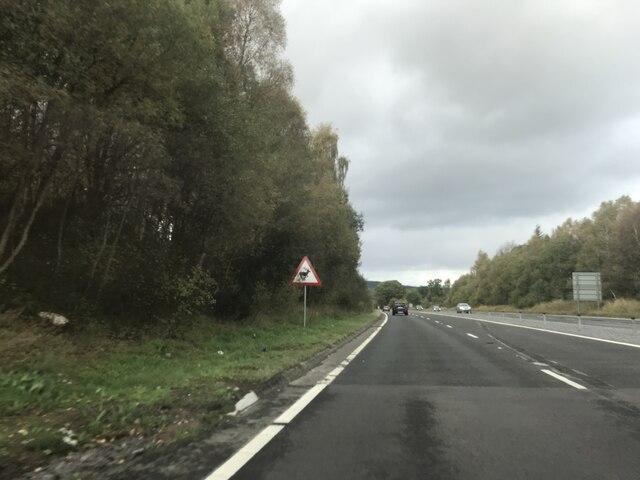
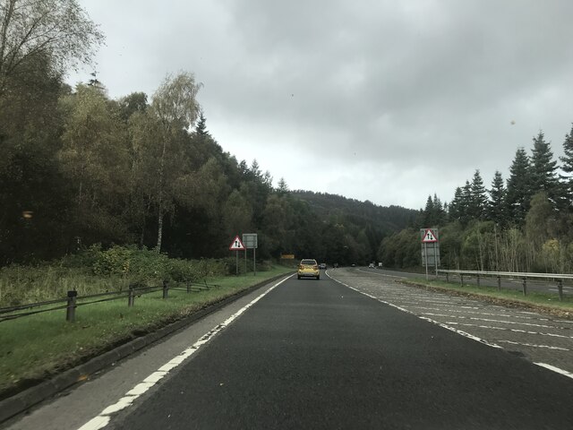
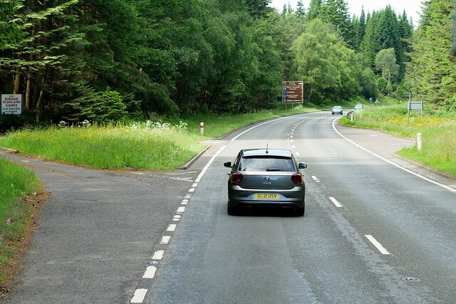
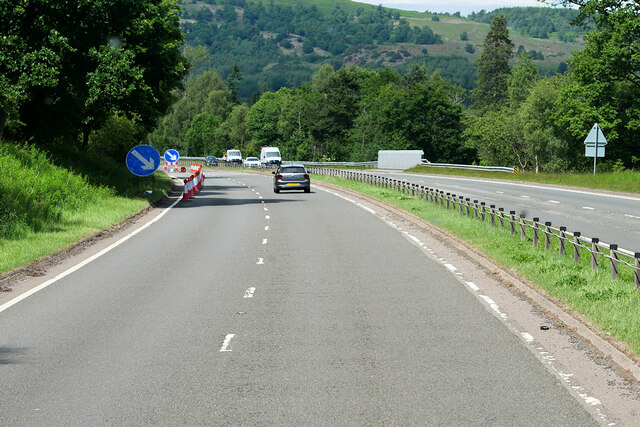
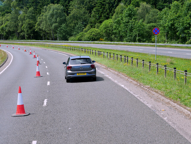
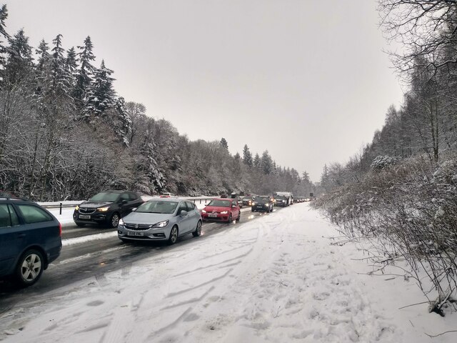
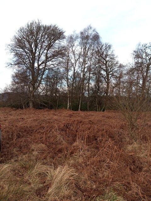
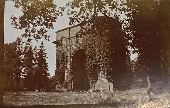
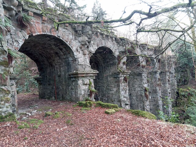
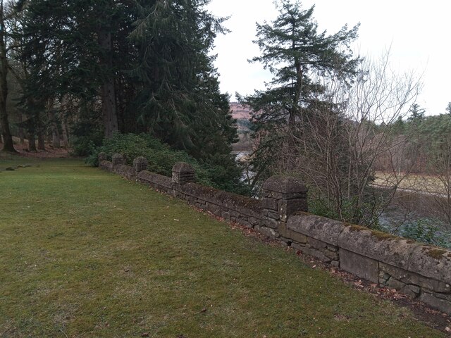
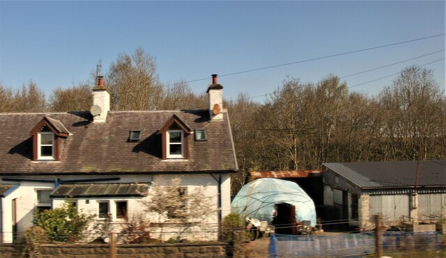
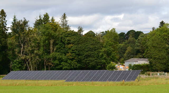
Branders Hill Images
Images are sourced within 2km of 56.540425/-3.5228015 or Grid Reference NO0639. Thanks to Geograph Open Source API. All images are credited.
Branders Hill is located at Grid Ref: NO0639 (Lat: 56.540425, Lng: -3.5228015)
Unitary Authority: Perth and Kinross
Police Authority: Tayside
What 3 Words
///watchdogs.fewest.heat. Near Bankfoot, Perth & Kinross
Nearby Locations
Related Wikis
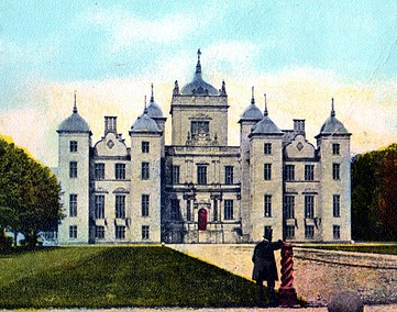
Murthly House
Murthly House, also known as New Murthly Castle, was a substantial mansion in Perth and Kinross, Scotland, designed by James Gillespie Graham and demolished...

Rohallion railway station
Rohallion railway station was a private station from 1860 to 1864 on the Perth and Dunkeld Railway. == History == The station opened in February 1860 by...

Caputh, Perth and Kinross
Caputh ( KAY-pəth) is a parish and village in Perth and Kinross, Scotland. It lies on the A984 Coupar Angus-to-Dunkeld road, about 6 miles (10 kilometres...

Waterloo, Perth and Kinross
Waterloo is a small hamlet in Perth and Kinross, Scotland approximately 1⁄2 mile (800 metres) north of Bankfoot on the old A9. == Etymology == Local opinion...
Murthly Hospital
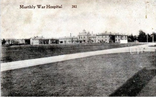
Murthly Hospital, previously known as Murthly Asylum, Perth District Asylum and Perth and District Mental Hospital was a psychiatric hospital in Murthly...
Birnam, Perth and Kinross
Birnam is a village in Perth and Kinross, Scotland. It is located 12 miles (19 km) north of Perth on the A9 road, the main tourist route through Perthshire...
Murthly
Murthly (Scottish Gaelic Mòrthlaich) is a village in Perth and Kinross, Scotland. It lies on the south bank of the River Tay, 5 miles (8 kilometres) southeast...

Perth Road drill hall, Birnam
The Perth Road drill hall is a former military installation on Perth Road in Birnam, Perth and Kinross, Scotland. == History == The building was designed...
Nearby Amenities
Located within 500m of 56.540425,-3.5228015Have you been to Branders Hill?
Leave your review of Branders Hill below (or comments, questions and feedback).