Brunt Knowe

Hill, Mountain in Perthshire

Scotland

Brunt Knowe

Grassy hillside near Condie Looking north-east down a grassy hillside towards the wooded valley of the Water of May in the Ochil Hills.
Grassy hillside near Condie Credit: Scott Cormie

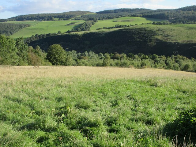
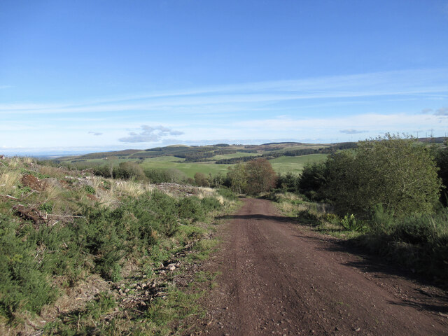
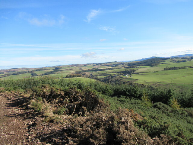
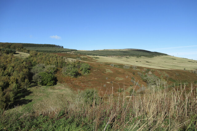
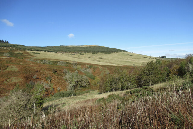
Brunt Knowe is a prominent hill located in Perthshire, Scotland. Standing at an elevation of 398 meters (1,306 feet), it is considered one of the notable landmarks in the region. Situated near the village of Comrie, Brunt Knowe offers breathtaking views of the surrounding countryside, making it a popular destination for hikers, nature enthusiasts, and photographers.

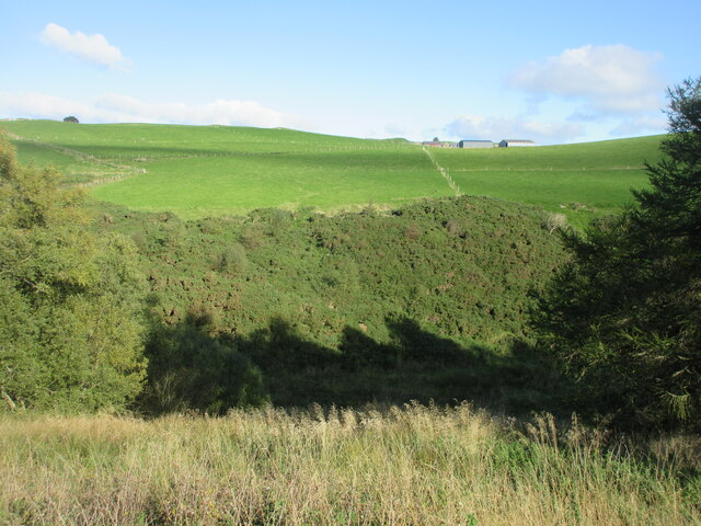
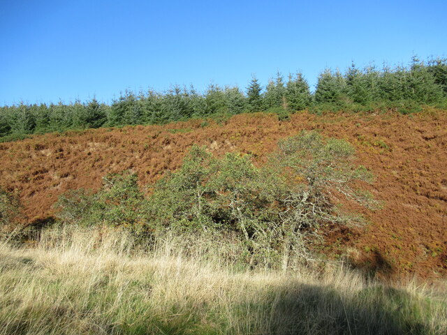
The hill is characterized by its gently sloping sides and a rounded summit, which is covered with lush green vegetation during the warmer months. It is primarily composed of sedimentary rocks, such as sandstone and shale, which contribute to its distinct geological features. The hill's exposed rock faces and crags are evidence of the natural forces that have shaped it over millions of years.

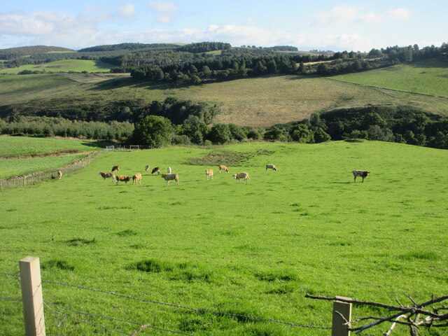
Wildlife is abundant in the area surrounding Brunt Knowe, with various species of birds, mammals, and plants calling it home. Visitors may encounter red deer, mountain hares, and a variety of bird species, including buzzards and kestrels.

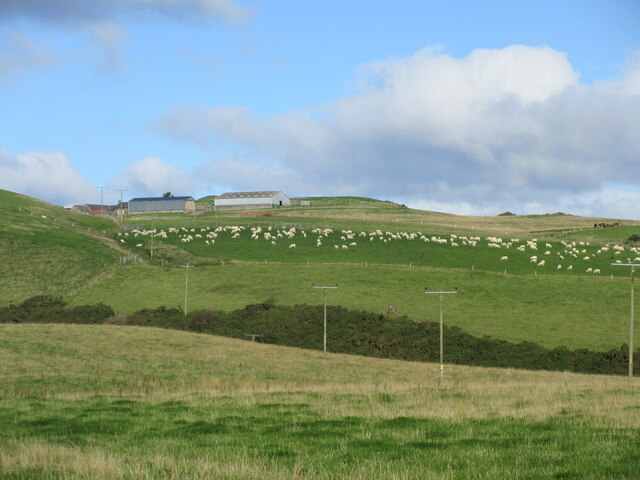
Brunt Knowe offers several walking routes and trails that cater to different levels of hiking ability. These trails are well-maintained and provide opportunities for both leisurely strolls and more challenging hikes. The ascent to the summit is relatively easy and rewards climbers with panoramic views of the picturesque Perthshire landscape, including the nearby Grampian Mountains.

Overall, Brunt Knowe is a natural gem in Perthshire, offering a tranquil escape for those seeking outdoor adventure or simply a peaceful retreat in the midst of Scotland's scenic beauty.

If you have any feedback on the listing, please let us know in the comments section below.
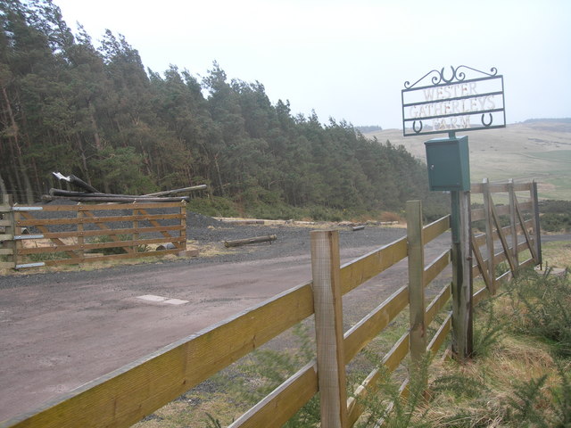
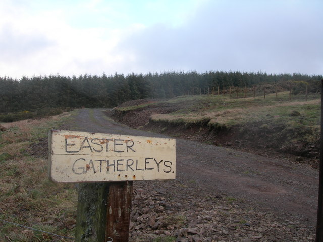
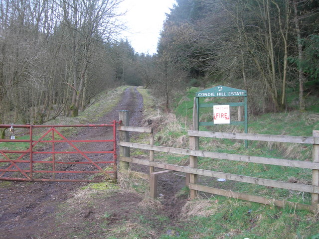
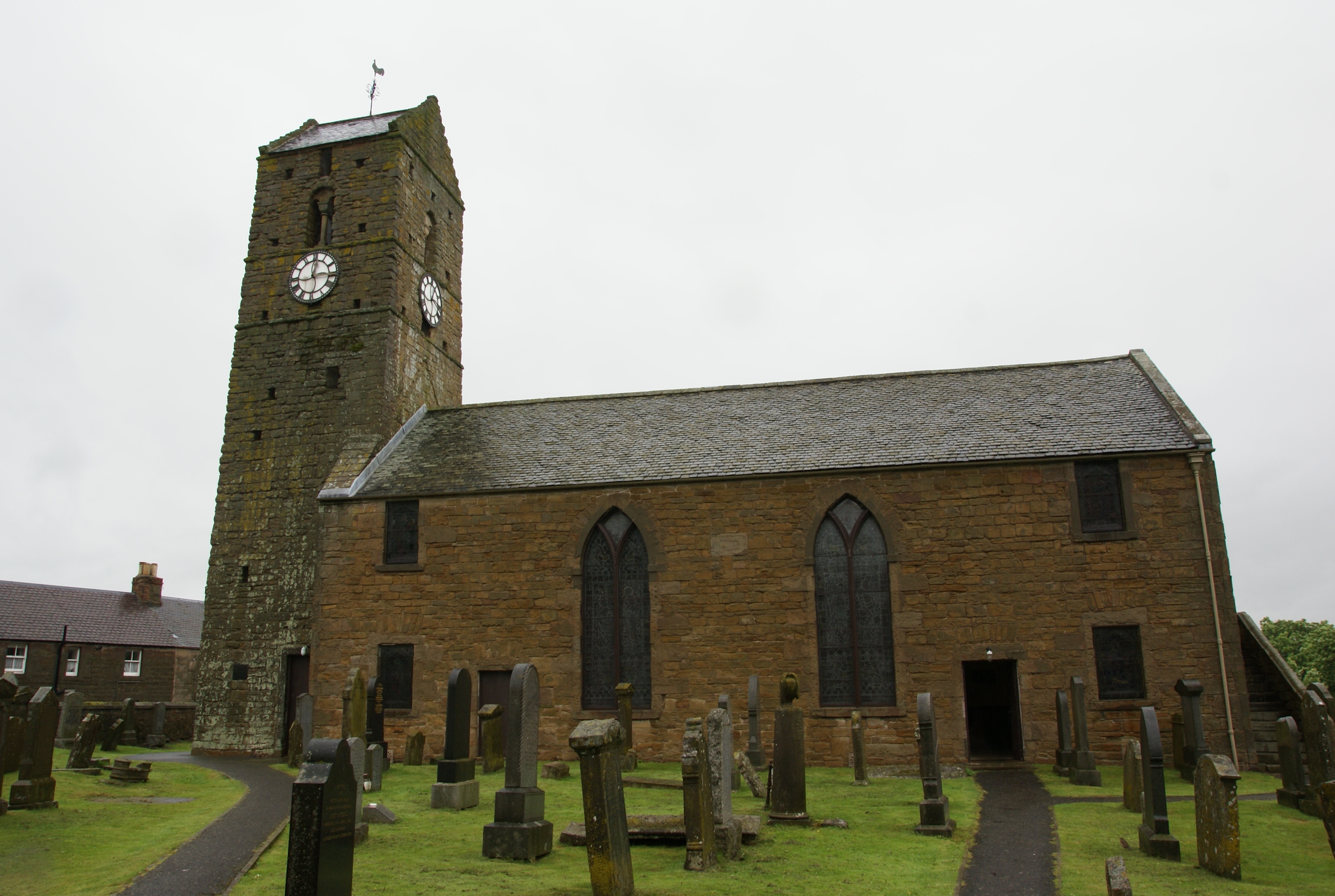
Brunt Knowe Images

Images are sourced within 2km of 56.298427/-3.5160045 or Grid Reference NO0612. Thanks to Geograph Open Source API. All images are credited.

Grassy hillside near Condie Looking north-east down a grassy hillside towards the wooded valley of the Water of May in the Ochil Hills.
Grassy hillside near Condie
Looking north-east down a grassy hillside towards the wooded valley of the Water of May in the Ochil Hills.
Cattle near Condie Cattle in grass pastureland to the north of Condie.
Cattle near Condie
Cattle in grass pastureland to the north of Condie.
Field of sheep near Montalt Hundreds of sheep in a field adjacent to Brunt Knowe, with Montalt beyond.
Field of sheep near Montalt
Hundreds of sheep in a field adjacent to Brunt Knowe, with Montalt beyond.
Hillside of gorse Gorse covered hillside on the north side of the Binzian Burn.
Hillside of gorse
Gorse covered hillside on the north side of the Binzian Burn.
Forestry track, Condie Hill Most of the forestry on the hillside to the left has been clear-felled.
Forestry track, Condie Hill
Most of the forestry on the hillside to the left has been clear-felled.
View towards Path of Condie A view towards the tiny settlement of Path of Condie from the forestry track contouring round Condie Hill, with the Lomond Hills in the distance.
View towards Path of Condie
A view towards the tiny settlement of Path of Condie from the forestry track contouring round Condie Hill, with the Lomond Hills in the distance.
Trees and dead bracken on Clow Hill The commercial forestry at the top of the hill here has so far survived the felling that is taking place nearby on Condie Hill.
Trees and dead bracken on Clow Hill
The commercial forestry at the top of the hill here has so far survived the felling that is taking place nearby on Condie Hill.
Ruins at Easter Clow One of several ruined buildings amidst forestry plantations in the vicinity of Clow Hill.
Ruins at Easter Clow
One of several ruined buildings amidst forestry plantations in the vicinity of Clow Hill.
Ruined farm buildings at Wester Clow The larger of the two ruined farms on this hillside, Wester Clow was already shown as abandoned on 1950s OS maps. It commands a great view down the Water of May.
Ruined farm buildings at Wester Clow
The larger of the two ruined farms on this hillside, Wester Clow was already shown as abandoned on 1950s OS maps. It commands a great view down the Water of May.
Woodland and dead bracken, Clow Hill Autumnal colour on hillsides above the Water of May.
Woodland and dead bracken, Clow Hill
Autumnal colour on hillsides above the Water of May.
Autumnal colours by the Water of May An un-named burn drains into the Water of May through the shallow gully on the opposite hillside here.
Autumnal colours by the Water of May
An un-named burn drains into the Water of May through the shallow gully on the opposite hillside here.
Pathstruie Pathstruie is where the Water of May and the Chapel Burn meet.
Pathstruie
Pathstruie is where the Water of May and the Chapel Burn meet.
By Mains of Condie Grazing ground on the NE slopes of Gallow Knowe
By Mains of Condie
Grazing ground on the NE slopes of Gallow Knowe
Harvest time Trees are still just a crop and for these large trees from the nearby Condie Wood it's market time.
Harvest time
Trees are still just a crop and for these large trees from the nearby Condie Wood it's market time.
Chapel Burn by Pathstruie Looking SE and up the Chapel Burn from the road bridge at Pathstruie
Chapel Burn by Pathstruie
Looking SE and up the Chapel Burn from the road bridge at Pathstruie
Wester Gatherleys
Wester Gatherleys
Easter Gatherleys
Easter Gatherleys
Forestry track on Condie Hill Off Pathstruie - Dunning road
Forestry track on Condie Hill
Off Pathstruie - Dunning road
Show me another place!

Brunt Knowe is located at Grid Ref: NO0612 (Lat: 56.298427, Lng: -3.5160045)

Unitary Authority: Perth and Kinross

Police Authority: Tayside

What 3 Words

///will.bungalows.triathlon. Near Bridge of Earn, Perth & Kinross

Nearby Locations

Condie Hill Brunt Knowe

Related Wikis

Ochil and South Perthshire (UK Parliament constituency)

Ochil and South Perthshire is a county constituency of the House of Commons of the Parliament of the United Kingdom. It elects one Member of Parliament...

Invermay

Invermay ( ) is a diffuse settlement in Perth and Kinross, Scotland. It is situated approximately 2 km southeast of Forteviot on the Water of May, some...

Dupplin Cross

The Dupplin Cross is a carved, monumental Pictish stone, which dates from around 800 AD. It was first recorded by Thomas Pennant in 1769, on a hillside...

St Serf's Church, Dunning

St Serf's Church in the Scottish village of Dunning, Perth and Kinross is a Category A listed building largely dating to the early 19th century, but incorporating...

Forteviot

Forteviot (Scottish Gaelic: Fothair Tabhaicht) (Ordnance Survey grid reference NO052175) is a village in Strathearn, Scotland on the south bank of the...

Dunning, Perth and Kinross

Dunning is a small village in Perth and Kinross in Scotland with a population of about 1,000. The village centres around the 12th–13th century former parish...

Forteviot Bronze Age tomb

Forteviot Bronze Age tomb is a Bronze Age burial chamber discovered in 2009 at Forteviot near Perth, Scotland. The Bronze Age tomb is one of a number of...

Forteviot railway station

Forteviot railway station served the village of Forteviot, Perth and Kinross, Scotland from 1848 to 1956 on the Scottish Central Railway. == History... ==

Have you been to Brunt Knowe?

Leave your review of Brunt Knowe below (or comments, questions and feedback).