Bryn-Deicws
Hill, Mountain in Merionethshire
Wales
Bryn-Deicws

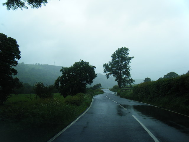
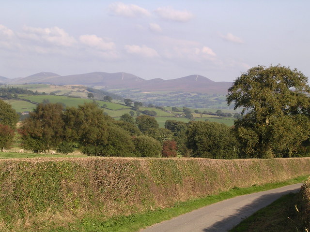
Bryn-Deicws is a hill/mountain located in Merionethshire, Wales. It is situated in the Snowdonia National Park, which is known for its stunning natural beauty and rugged landscapes. With an elevation of approximately 1,327 feet (404 meters), Bryn-Deicws offers breathtaking panoramic views of the surrounding areas.
The hill/mountain is characterized by its steep slopes and rocky terrain, making it a popular destination for hikers, mountaineers, and outdoor enthusiasts. The ascent to the summit of Bryn-Deicws can be challenging, but the reward is well worth the effort, as visitors are treated to awe-inspiring vistas of the Welsh countryside, including rolling hills, lush valleys, and distant peaks.
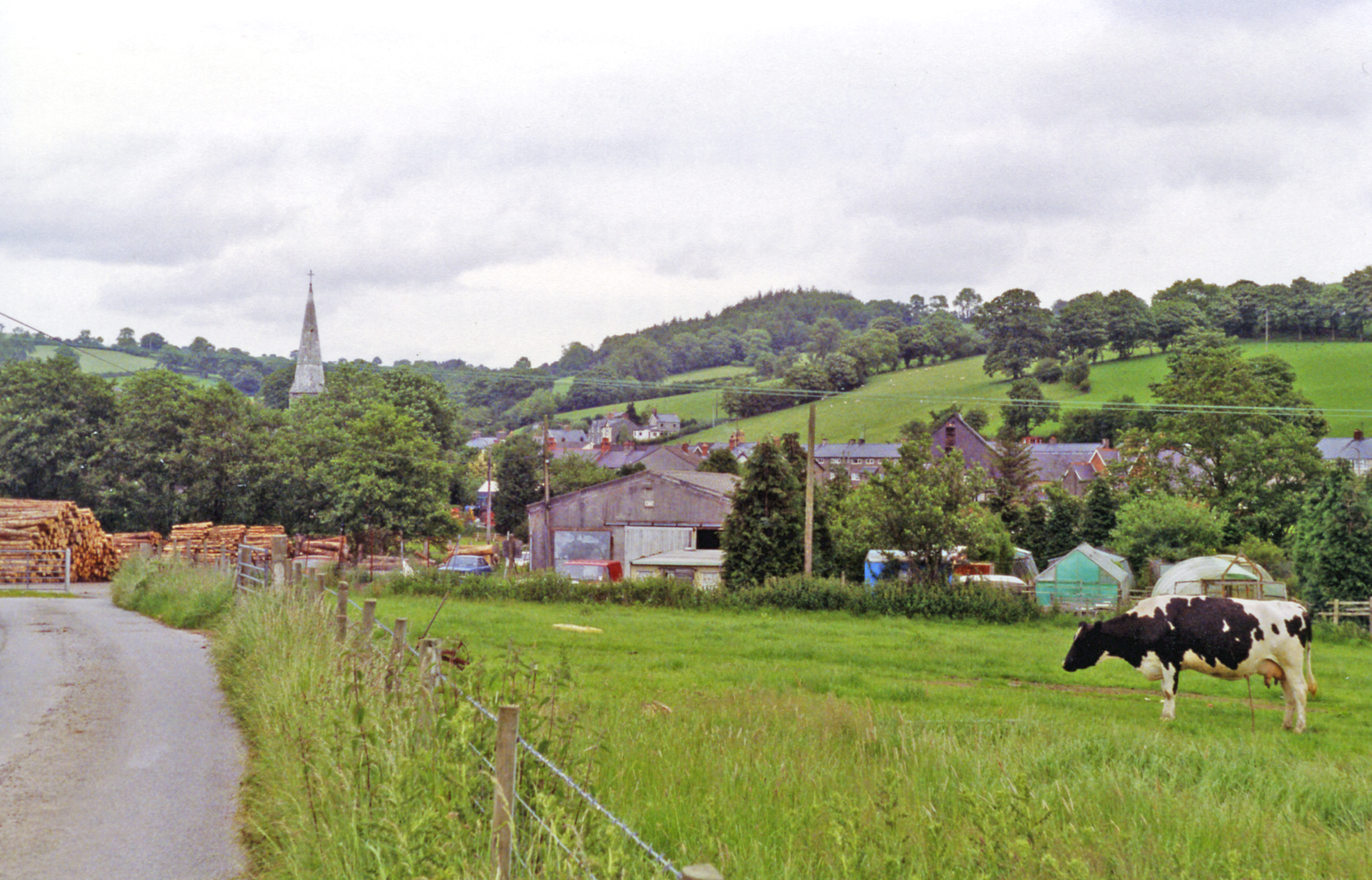
The region surrounding Bryn-Deicws is rich in biodiversity, with various flora and fauna species found in abundance. The hill/mountain is covered in heather, grasses, and other vegetation, providing a habitat for numerous wildlife species such as birds, mammals, and insects.
The location of Bryn-Deicws within the Snowdonia National Park also means that it is within close proximity to other popular attractions and outdoor activities. Visitors can explore nearby lakes, rivers, and waterfalls, or take part in activities such as rock climbing, fishing, and mountain biking.
Overall, Bryn-Deicws in Merionethshire offers a unique and memorable experience for those who appreciate the beauty of nature and the opportunity to explore the great outdoors.
If you have any feedback on the listing, please let us know in the comments section below.
Bryn-Deicws Images
Images are sourced within 2km of 53.009814/-3.3993267 or Grid Reference SJ0646. Thanks to Geograph Open Source API. All images are credited.


Bryn-Deicws is located at Grid Ref: SJ0646 (Lat: 53.009814, Lng: -3.3993267)
Unitary Authority: Denbighshire
Police Authority: North Wales
What 3 Words
///hatch.startles.crouching. Near Derwen, Denbighshire
Nearby Locations
Related Wikis
Gwyddelwern railway station
Gwyddelwern railway station was a station in Gwyddelwern, Denbighshire, Wales. The station was opened on 1 March 1863, closed to passengers on 2 February...
Gwyddelwern
Gwyddelwern is a small village and community of 508 residents, reducing to 500 at the 2011 census, situated approximately 2 miles (3.2 km) north of Corwen...
Glyndŵr
Glyndŵr was one of six local government districts in the county of Clwyd in Wales from 1974 to 1996. == History == The district was created on 1 April...

Clawdd Poncen
Clawdd Poncen is a village in Denbighshire, Wales, UK, approximately 1.3 miles (2.1 km) northwest of Corwen, on the opposite bank of the River Dee. The...

Betws Gwerfil Goch
Betws Gwerfil Goch (Standard Welsh: Betws Gwerful Goch) is a village and community in Denbighshire, Wales. It had a population of 351 at the 2011 census...

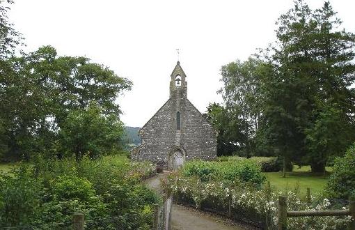
St Mary's Church, Betws Gwerful Goch
St Mary's Church, Betws Gwerful Goch, is in the village of Betws Gwerful Goch, Denbighshire, Wales. It is an active Anglican church in the deanery of...

Melin-y-Wig
Melin-y-Wig is a village in Denbighshire, Wales. It is situated on the River Clwyd (Welsh: Afon Clwyd). Rising in the nearby Clocaenog Forest (grid reference...
Rhug
Rhug (normally Y Rug in Welsh; sometimes given the antiquarian spelling Rûg) is a township in the parish of Corwen, Denbighshire, Wales, formerly in the...
Related Videos
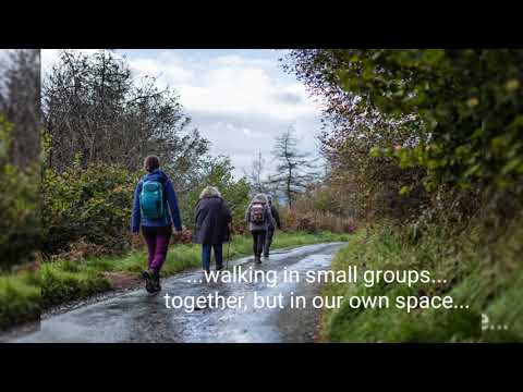
Melin-y-Wig Full-day Mindfulness Retreat Walk, 29th September, 10-4pm
A little appetizer for forthcoming Mindfulness Retreat Walk in Melin-y-Wig.
Have you been to Bryn-Deicws?
Leave your review of Bryn-Deicws below (or comments, questions and feedback).