Horseheath
Settlement in Cambridgeshire South Cambridgeshire
England
Horseheath
The requested URL returned error: 429 Too Many Requests
If you have any feedback on the listing, please let us know in the comments section below.
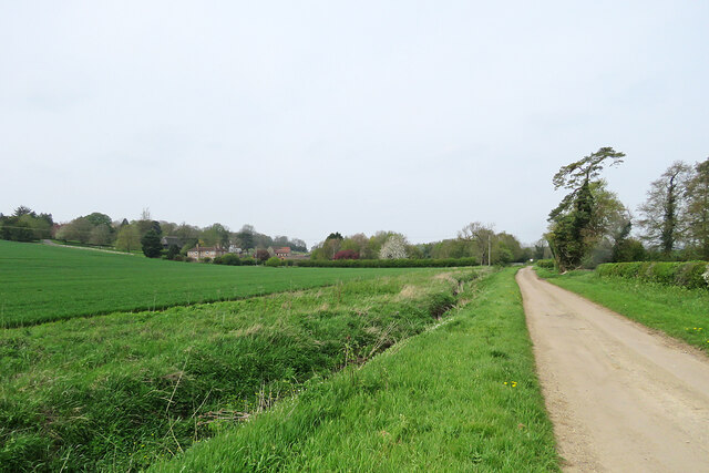
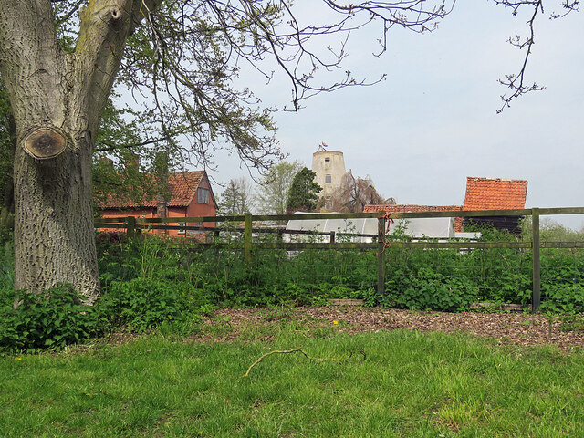
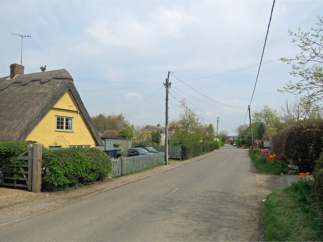
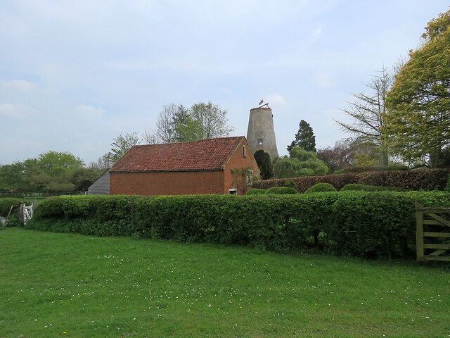
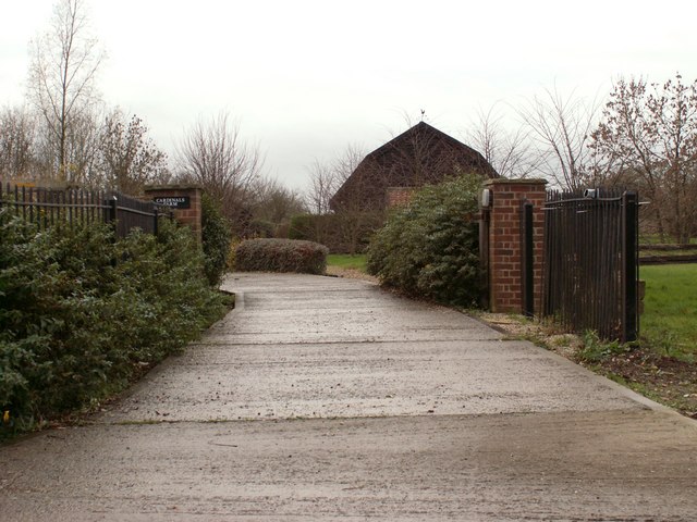
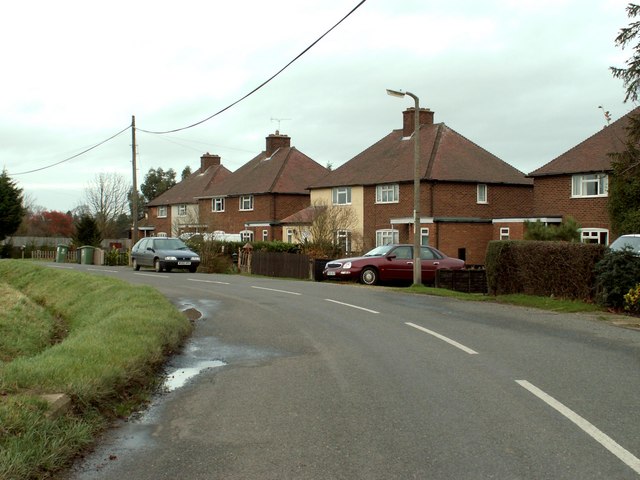
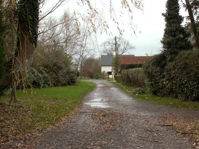
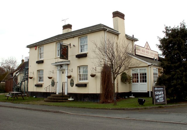
Horseheath Images
Images are sourced within 2km of 52.098816/0.354519 or Grid Reference TL6147. Thanks to Geograph Open Source API. All images are credited.
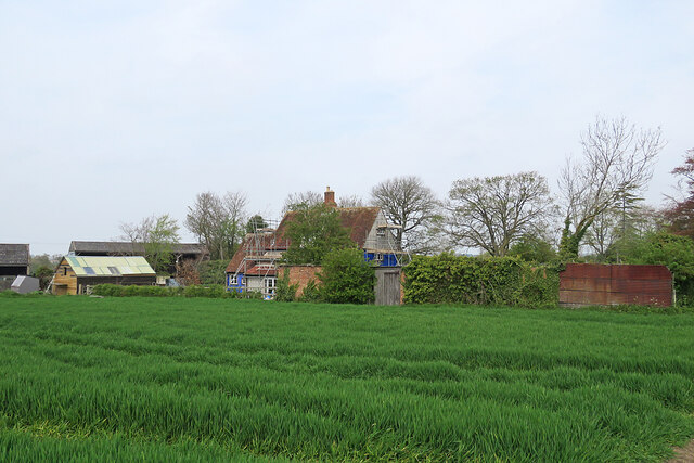
![Horseheath: the rear of Hartford House "House, formerly rectory, c 1700, extended on west side C19. Timber-framed [and] plaster rendered with hipped tiled roof and wood eaves" (Grade II listing). The picture was taken from All Saints' churchyard as a spring morning turned cloudy.](https://s0.geograph.org.uk/geophotos/07/46/96/7469652_da1c05bb.jpg)
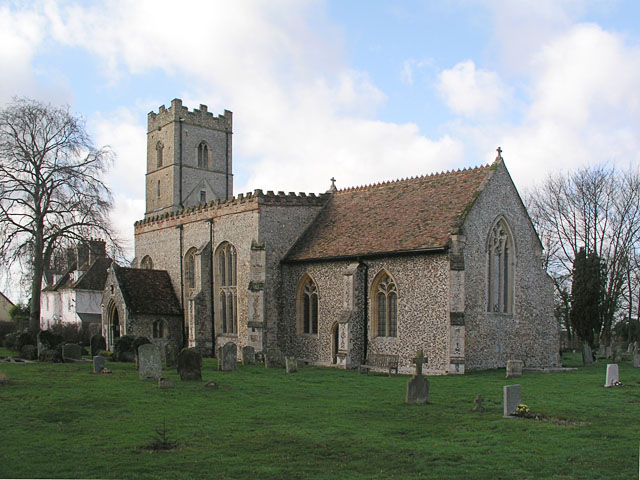
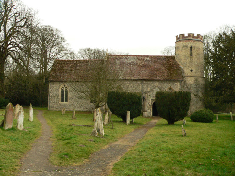
![Horseheath: All Saints - north side The church dates from the 14th and 15th centuries and was much restored in the 19th. "Nave without aisles Perp, a fine impression inside, with very large three-light transomed windows - a veritable glasshouse. The height of the nave was brought down [see evidence of the former roof line on the east wall of the tower] and brick battlements put up" (Nikolaus Pevsner).](https://s0.geograph.org.uk/geophotos/07/46/96/7469668_283c07e3.jpg)
![Horseheath: All Saints - south side The church dates from the 14th and 15th centuries and was much restored in the 19th. "Nave without aisles Perp, a fine impression inside, with very large three-light transomed windows - a veritable glasshouse. The height of the nave was brought down [see evidence of the former roof line on the east wall of the tower] and brick battlements put up" (Nikolaus Pevsner).](https://s0.geograph.org.uk/geophotos/07/46/96/7469672_b4f18483.jpg)


Horseheath is located at Grid Ref: TL6147 (Lat: 52.098816, Lng: 0.354519)
Administrative County: Cambridgeshire
District: South Cambridgeshire
Police Authority: Cambridgeshire
What 3 Words
///spared.ironclad.sung. Near Balsham, Cambridgeshire
Nearby Locations
Related Wikis

Horseheath
Horseheath is a village in Cambridgeshire, England, situated a few miles south-east of Cambridge, between Linton and Haverhill, on the A1307 road. It was...

West Wickham, Cambridgeshire
West Wickham is a village and civil parish in South Cambridgeshire, England, 10 miles south-east of Cambridge on the border with Suffolk. == History... ==

Over and Lawn Woods
Over and Lawn Woods is a 43.3-hectare (107-acre) biological Site of Special Scientific Interest north-west of Haverhill in Suffolk. It is listed by Natural...
Bartlow
Bartlow is a small village and civil parish in the South Cambridgeshire district of Cambridgeshire, England, about 12 miles (19 km) south-east of Cambridge...
Nearby Amenities
Located within 500m of 52.098816,0.354519Have you been to Horseheath?
Leave your review of Horseheath below (or comments, questions and feedback).