Cefn-llydan Hill
Hill, Mountain in Montgomeryshire
Wales
Cefn-llydan Hill

Cefn-llydan Hill, located in Montgomeryshire, Wales, is a prominent hill/mountain that offers breathtaking natural beauty and historical significance. Standing at an elevation of approximately 1,752 feet (534 meters), it is a popular destination for hikers, nature enthusiasts, and history buffs.
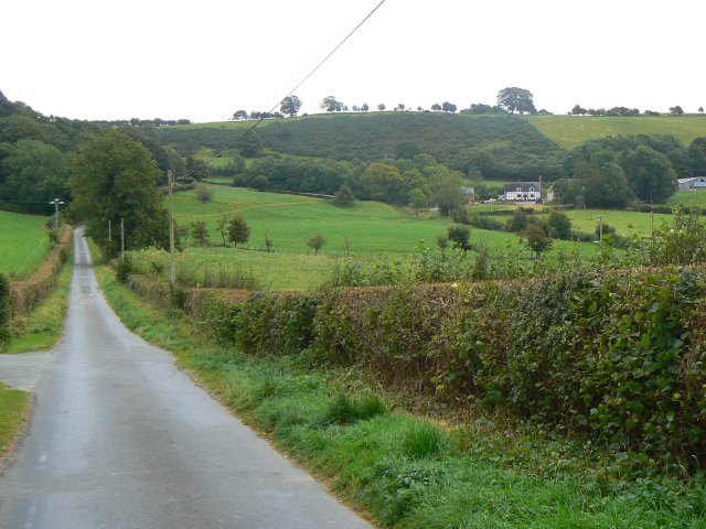
The hill is characterized by its rolling landscape and stunning panoramic views, making it an ideal spot for those seeking to immerse themselves in the Welsh countryside. The surrounding area is abundant with diverse flora and fauna, providing a habitat for various species of birds, mammals, and plants.
Cefn-llydan Hill also holds historical significance. It is home to a Bronze Age burial mound, known as a cairn, which dates back thousands of years. This archaeological feature adds an extra layer of intrigue to the hill, attracting history enthusiasts who wish to explore the area's past.
The hill is easily accessible, with a network of footpaths and trails leading to its summit. The ascent is moderate in difficulty, making it suitable for experienced hikers as well as beginners. Upon reaching the top, visitors are rewarded with breathtaking views of the surrounding countryside, including the nearby Cambrian Mountains and the picturesque valleys below.
Overall, Cefn-llydan Hill is a natural gem in Montgomeryshire, offering a combination of stunning landscapes, historical intrigue, and a chance to connect with nature. Whether one is seeking adventure or a peaceful retreat, this hill/mountain provides a memorable experience for all who visit.
If you have any feedback on the listing, please let us know in the comments section below.
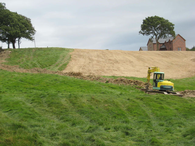
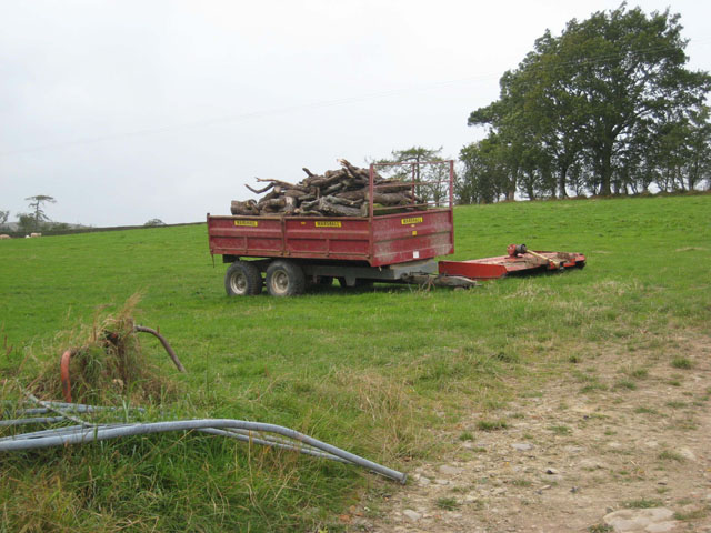
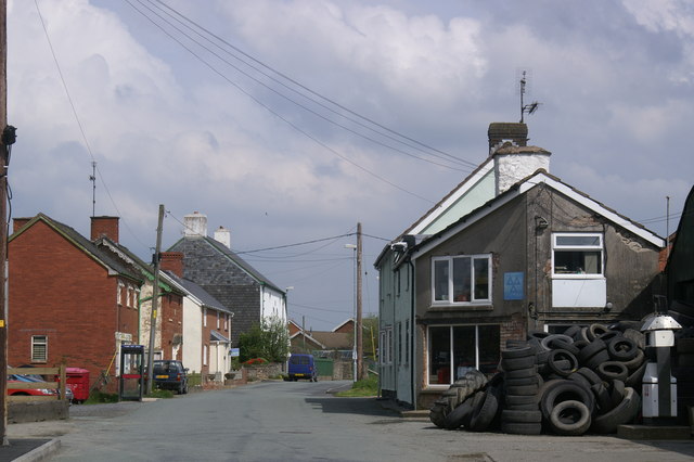
Cefn-llydan Hill Images
Images are sourced within 2km of 52.564529/-3.3924996 or Grid Reference SO0597. Thanks to Geograph Open Source API. All images are credited.


Cefn-llydan Hill is located at Grid Ref: SO0597 (Lat: 52.564529, Lng: -3.3924996)
Unitary Authority: Powys
Police Authority: Dyfed Powys
What 3 Words
///willpower.jacuzzi.venue. Near Newtown, Powys
Nearby Locations
Related Wikis

Gregynog Hall
Gregynog (Welsh pronunciation: [ɡrɛˈɡənɔɡ]) is a large country mansion in the village of Tregynon, 4 miles (6.4 km) northwest of Newtown in the old county...
Adfa, Powys
Adfa is a village in the Welsh county of Powys, in mid Wales. It is in the historic county of Montgomeryshire. == External links == Photos of Adfa and...
Tregynon
Tregynon is a small village and community in Montgomeryshire, Powys, Wales, to the north of Newtown and south west of Welshpool. The population of the...

Llanwnnog
Llanwnog is a village in Powys, Wales. It is located one-and-a half miles north of Caersws in the community of the same name, on the B4568 road. The Ordnance...
Aberhafesp
Aberhafesp is a small village and community in Montgomeryshire, Powys, Wales. The hamlet of Bwlch-y-Ffridd is within the community. It is situated about...

Llanllugan Abbey
Llanllugan Abbey was a monastery of Cistercian nuns located at Llanllugan, Powys, Wales. It was one of only two Cistercian women's monasteries in Wales...

Caersws
Caersws (Welsh: Caersŵs; pronounced [kɑːɨrˈsuːs] ) is a village and community on the River Severn, in the Welsh county of Powys (Montgomeryshire) 5 miles...

River Rhiw
The River Rhiw (Welsh: Afon Rhiw meaning 'slope river' or 'stream river') is a short river in the north of Powys in Wales. Two headwater tributaries both...
Have you been to Cefn-llydan Hill?
Leave your review of Cefn-llydan Hill below (or comments, questions and feedback).