Crosswood Hill

Hill, Mountain in Midlothian

Scotland

Crosswood Hill

The road to Tarbrax A modified turning off the A70 [Lang Wang] which, after another turn, will lead to Tarbrax, a small isolated village left over from the oil-shale mining era of the 19C.
The road to Tarbrax Credit: M J Richardson

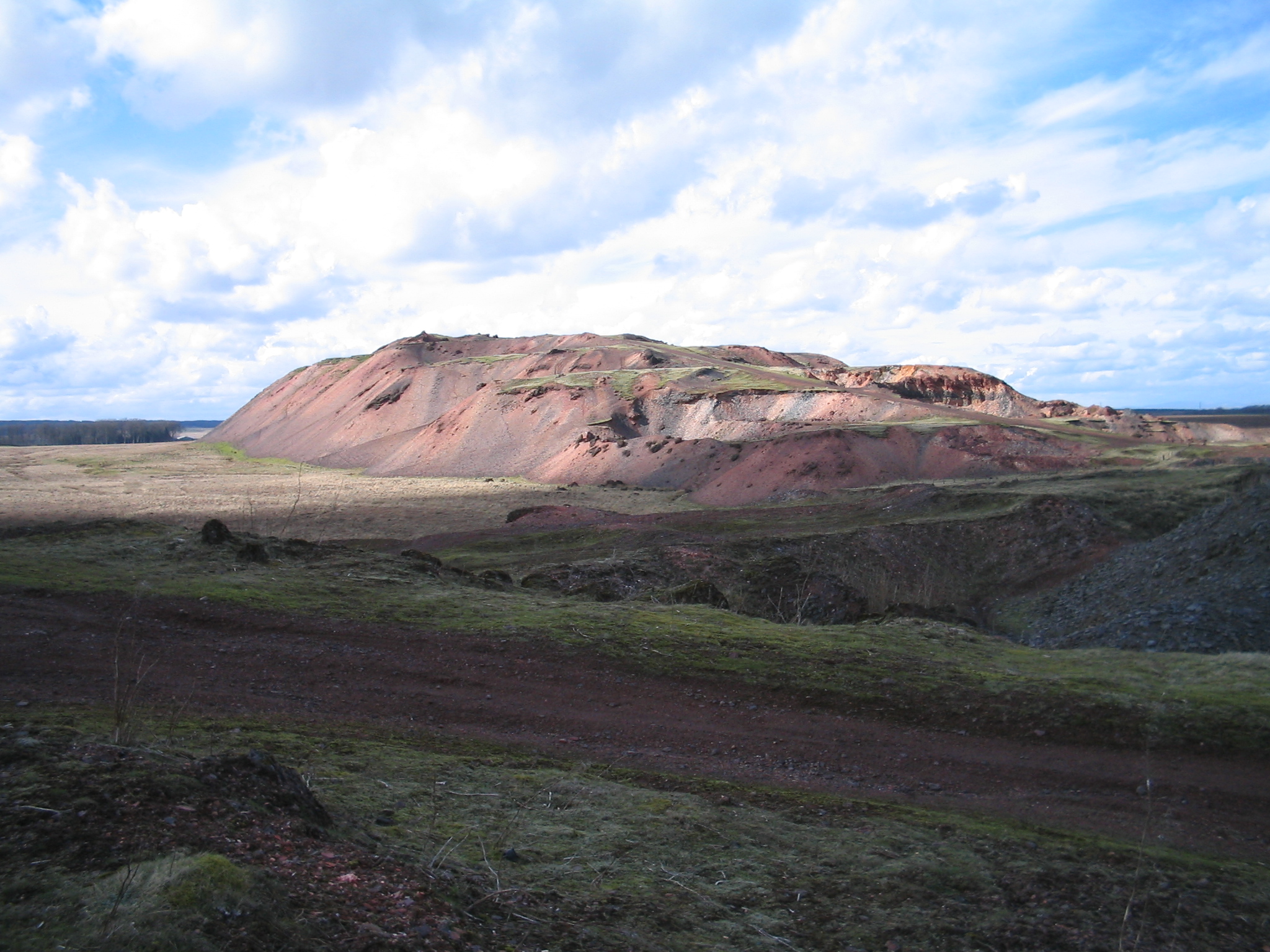
Crosswood Hill is a prominent landmark located in Midlothian, Scotland. It is a hill that reaches an elevation of approximately 168 meters (551 feet) above sea level, making it a notable feature in the surrounding area. Situated near the town of Penicuik, Crosswood Hill offers breathtaking panoramic views of the picturesque countryside.

This hill is characterized by its rolling terrain, covered with lush green vegetation and scattered patches of forest. The hill itself is predominantly composed of sedimentary rock formations, which have been shaped over time by natural erosion processes. This geological diversity adds to the unique charm of Crosswood Hill.

The hill is accessible via various footpaths and trails, making it a popular destination for outdoor enthusiasts and nature lovers. Hikers and walkers can explore the surrounding countryside, taking in the beauty of the Scottish landscape while enjoying a peaceful and tranquil atmosphere.

Crosswood Hill is also home to a diverse range of flora and fauna. Native plant species such as heather, gorse, and bracken can be found growing on the hillside, providing a habitat for numerous insects, birds, and small mammals. Wildlife enthusiasts may spot common animals such as rabbits, foxes, and deer roaming the area.

With its natural beauty and recreational opportunities, Crosswood Hill offers visitors a chance to connect with nature and escape the hustle and bustle of everyday life. Whether it's a leisurely stroll or a more challenging hike, this hill provides an idyllic setting for outdoor activities and a chance to appreciate the stunning Scottish countryside.

If you have any feedback on the listing, please let us know in the comments section below.

Crosswood Hill Images

Images are sourced within 2km of 55.780508/-3.5068294 or Grid Reference NT0555. Thanks to Geograph Open Source API. All images are credited.

The road to Tarbrax A modified turning off the A70 [Lang Wang] which, after another turn, will lead to Tarbrax, a small isolated village left over from the oil-shale mining era of the 19C.
The road to Tarbrax
A modified turning off the A70 [Lang Wang] which, after another turn, will lead to Tarbrax, a small isolated village left over from the oil-shale mining era of the 19C.
Tarbrax Village Hall sign On the Lanark Road [A70, Lang Whang] at the turning off to Tarbrax and, in the other direction, where the path across the Pentland Hills to West Linton and Dolphinton via the Covenanter's Grave, leaves the road.
Tarbrax Village Hall sign
On the Lanark Road [A70, Lang Whang] at the turning off to Tarbrax and, in the other direction, where the path across the Pentland Hills to West Linton and Dolphinton via the Covenanter's Grave, leaves the road.
Rushy moorland by the A70 A typical scene along this main road into Edinburgh from the south.
Rushy moorland by the A70
A typical scene along this main road into Edinburgh from the south.
The A70 [Lang Whang] near Tarbrax.
Cobbinshaw Moss from Wester Crosswoodhill Looking northwest from the A70. The two windturbines visible near the left horizon, just above a patch of water which is the western end of Cobbinshaw Reservoir, are part of the wind farm near Pearie Law.
Cobbinshaw Moss from Wester Crosswoodhill
Looking northwest from the A70. The two windturbines visible near the left horizon, just above a patch of water which is the western end of Cobbinshaw Reservoir, are part of the wind farm near Pearie Law.
Sheep House Plantation At Wester Crosswoodhill on the A70 Lanark Road.
Sheep House Plantation
At Wester Crosswoodhill on the A70 Lanark Road.
Tarbrax Road End The junction with the A70.
Tarbrax Road End
The junction with the A70.
Pentland Footpath Although a path is indicated on the map, it quickly disappears on the moorland. Judging by the boots of this returning walker, the ground was still very wet, even after a long spell of dry weather. I decided to leave it for another day.
Pentland Footpath
Although a path is indicated on the map, it quickly disappears on the moorland. Judging by the boots of this returning walker, the ground was still very wet, even after a long spell of dry weather. I decided to leave it for another day.
Beech Trees by the A70 The A70 has some attractive tree-lined stretches, often on twisty parts of the road.  This view looks towards Edinburgh.
Beech Trees by the A70
The A70 has some attractive tree-lined stretches, often on twisty parts of the road. This view looks towards Edinburgh.
Sheep Near Crosswoodhill Ewes and lambs grazing in a field beside the A70.
Sheep Near Crosswoodhill
Ewes and lambs grazing in a field beside the A70.
West Water Reservoir from the air Viewed over Harrows Law from a Prague bound flight from Edinburgh.
West Water Reservoir from the air
Viewed over Harrows Law from a Prague bound flight from Edinburgh.
Farming at Crosswoodhill
Road to Tarbrax
Road to Tarbrax
A Prehistoric Burial Mound That's what they say anyway! Like most of Scotland's 8000 scheduled monuments, it is virtually imperceptible on the ground, though as it was only added to the list in 2005 it was no doubt discovered by some fancy kind of aerial imaging. Somewhere amongst the rushy grass is a slight mostly grassy mound; it is actually most visible from the West, on this side of the burn.
It is very roughly dated: from the Neolithic to the Bronze Age. While these two ages are side by side in the timeline of old stuff, put together they do, all the same, cover 3200 years!
Prehistory refers to anything before the Roman invasion, therefore anything more than 2000 years old, with a negative or BC year date.
The rough breakdown for Britain (it varies a lot geographically), along with how I remember the order, is as follows :
Iron Age, 800BC-0 (roughly, though they always state 43AD!). The Iron Age follows the Bronze age, just as it does in the alphabet.
Bronze Age, 2000BC-800BC. The Bronze Age comes before the Iron Age, see above!
Neolithic (Stone Age), 4000BC-2000BC. 'Neo' means new. So it is the most modern of the stone ages.
Mesolithic (Stone Age),10,000BC-4000BC. 'Meso' means middle in Greek, but as most people in Britain don't speak much Greek it's easiest to remember that middle also begins with an M. And as there are just three stone ages this works quite well.
Palaeolithic (Stone Age), 3 million BC - 10,000BC (ridiculously long and gets split up by experts obviously). 'Palaeo' refers to fossils therefore the oldest of the 'man' ages.
A Prehistoric Burial Mound
That's what they say anyway! Like most of Scotland's 8000 scheduled monuments, it is virtually imperceptible on the ground, though as it was only added to the list in 2005 it was no doubt discovered by some fancy kind of aerial imaging. Somewhere amongst the rushy grass is a slight mostly grassy mound; it is actually most visible from the West, on this side of the burn. It is very roughly dated: from the Neolithic to the Bronze Age. While these two ages are side by side in the timeline of old stuff, put together they do, all the same, cover 3200 years! Prehistory refers to anything before the Roman invasion, therefore anything more than 2000 years old, with a negative or BC year date. The rough breakdown for Britain (it varies a lot geographically), along with how I remember the order, is as follows : Iron Age, 800BC-0 (roughly, though they always state 43AD!). The Iron Age follows the Bronze age, just as it does in the alphabet. Bronze Age, 2000BC-800BC. The Bronze Age comes before the Iron Age, see above! Neolithic (Stone Age), 4000BC-2000BC. 'Neo' means new. So it is the most modern of the stone ages. Mesolithic (Stone Age),10,000BC-4000BC. 'Meso' means middle in Greek, but as most people in Britain don't speak much Greek it's easiest to remember that middle also begins with an M. And as there are just three stone ages this works quite well. Palaeolithic (Stone Age), 3 million BC - 10,000BC (ridiculously long and gets split up by experts obviously). 'Palaeo' refers to fossils therefore the oldest of the 'man' ages.
Long Pond on Adder Burn This pond is one of two (the other is far smaller and a short distance downstream) not marked on the newest freely available online OS map from the early 1960s. I reckon it must have been dammed for shooting purposes as it's in the right area for it - not far NorthWest of here is a smallish fenced-off shooting 'estate', that may or may not still be operational. There is a hard slightly overgrown track leading from there to the spot at which this picture was taken.
It would be a nice peaceful place to pitch a tent, though there was no obvious sigh of life in the water, just a few small birds flying out of the heather as I approached.
Long Pond on Adder Burn
This pond is one of two (the other is far smaller and a short distance downstream) not marked on the newest freely available online OS map from the early 1960s. I reckon it must have been dammed for shooting purposes as it's in the right area for it - not far NorthWest of here is a smallish fenced-off shooting 'estate', that may or may not still be operational. There is a hard slightly overgrown track leading from there to the spot at which this picture was taken. It would be a nice peaceful place to pitch a tent, though there was no obvious sigh of life in the water, just a few small birds flying out of the heather as I approached.
Black Birn A 'birn' is either something to do with a clarinet mouthpiece, an old Scots contraction of 'burden', or a stem of heather left after the rest of the plant has disappeared due to muirburning. The heather gets burnt in order to promote new growth: this is said to provide more nourishment than the older heathers - some of which get left for shelter - to the grouse in gameshooting areas. It obviously must be the third meaning that gives this small flat-topped hill its name. The Dictionaries of the Scots Language website is often a handy resource for getting to the bottom of old topographical names in Central Scotland..
It is rather hard to determine exactly where the top of the hill is, and I notice it has crossed grid-squares within the last 60 years. The surface is a mix of heather, grass and large round clumps of bouncy moss, and the hill behind the lone conifer is Harrow's Law.
Black Birn
A 'birn' is either something to do with a clarinet mouthpiece, an old Scots contraction of 'burden', or a stem of heather left after the rest of the plant has disappeared due to muirburning. The heather gets burnt in order to promote new growth: this is said to provide more nourishment than the older heathers - some of which get left for shelter - to the grouse in gameshooting areas. It obviously must be the third meaning that gives this small flat-topped hill its name. The Dictionaries of the Scots Language website is often a handy resource for getting to the bottom of old topographical names in Central Scotland.. It is rather hard to determine exactly where the top of the hill is, and I notice it has crossed grid-squares within the last 60 years. The surface is a mix of heather, grass and large round clumps of bouncy moss, and the hill behind the lone conifer is Harrow's Law.
Building Remains I notice that the last contributor to this grid-square described it as 'not very interesting'! Whilst it is situated in a rather bleak environment I rather like it, and in comparison to others nearby it is actually a very busy one. (Maybe I am easily pleased but I have yet to explore an area of 1km by 1km without finding anything of interest.)
This concrete floor and the low brick wall remains of the former building further away are fairly recent additions to the landscape; they don't appear on 1960s OS mapping. They must have been important for a while though, as a track stops here, with a turning circle. A small skip has sat at the turning bit for several years now. Presumably the standpipe was used for pumping water; there are a couple more nearby, inserted into open ground. My hunch is that these buildings were the forerunners of the green construction in the distance, which is described as a Water Treatment Works on current large-scale maps. This is interesting as I thought all the tapwater round here came from reservoirs in the Borders and the Pentlands. As Tarbrax, the only real settlement near here, is nearly 300 metres above sea level it may be that it  proved cheaper to supply their water from small watercourses from the wet ground around here. The building near here on the main A70 road is a pumping station, which gives clout to this theory.
Building Remains
I notice that the last contributor to this grid-square described it as 'not very interesting'! Whilst it is situated in a rather bleak environment I rather like it, and in comparison to others nearby it is actually a very busy one. (Maybe I am easily pleased but I have yet to explore an area of 1km by 1km without finding anything of interest.) This concrete floor and the low brick wall remains of the former building further away are fairly recent additions to the landscape; they don't appear on 1960s OS mapping. They must have been important for a while though, as a track stops here, with a turning circle. A small skip has sat at the turning bit for several years now. Presumably the standpipe was used for pumping water; there are a couple more nearby, inserted into open ground. My hunch is that these buildings were the forerunners of the green construction in the distance, which is described as a Water Treatment Works on current large-scale maps. This is interesting as I thought all the tapwater round here came from reservoirs in the Borders and the Pentlands. As Tarbrax, the only real settlement near here, is nearly 300 metres above sea level it may be that it proved cheaper to supply their water from small watercourses from the wet ground around here. The building near here on the main A70 road is a pumping station, which gives clout to this theory.
Pentland moorland, Tarbrax View from beside the A70
Pentland moorland, Tarbrax
View from beside the A70
Show me another place!

Crosswood Hill is located at Grid Ref: NT0555 (Lat: 55.780508, Lng: -3.5068294)

Unitary Authority: West Lothian

Police Authority: The Lothians and Scottish Borders

What 3 Words

///tweeted.clockwork.swaps. Near West Calder, West Lothian

Related Wikis

Tarbrax

Tarbrax (Scottish Gaelic: "An Tòrr Breac" - meaning "the speckled tor") is a small village in the Parish of Carnwath, South Lanarkshire, Scotland. It...

Cobbinshaw Reservoir

Cobbinshaw Reservoir is a reservoir in West Lothian, Scotland. It is situated near the Pentland Hills, 5 km south of West Calder. The 310-acre (1.3 km2...

Cobbinshaw

Cobbinshaw is a small hamlet in West Lothian, Scotland. It is at the end of a dead end road from nearby Woolfords. Cobbinshaw is at 1,000 feet (300 m...

Cobbinshaw railway station

Cobbinshaw railway station was on the Caledonian Railway Edinburgh to Carstairs line sited near a village called Woolfords in South Lanarkshire. The freight...

Nearby Amenities

Located within 500m of 55.780508,-3.5068294
Drinking Water
Hunter's Well
Lat/Long: 55.7815912/-3.4994225
The data included in this document is from www.openstreetmap.org. The data is made available under ODbL.

Have you been to Crosswood Hill?

Leave your review of Crosswood Hill below (or comments, questions and feedback).