Horsebrook
Settlement in Staffordshire South Staffordshire
England
Horsebrook
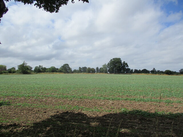
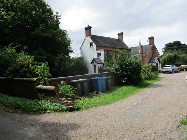
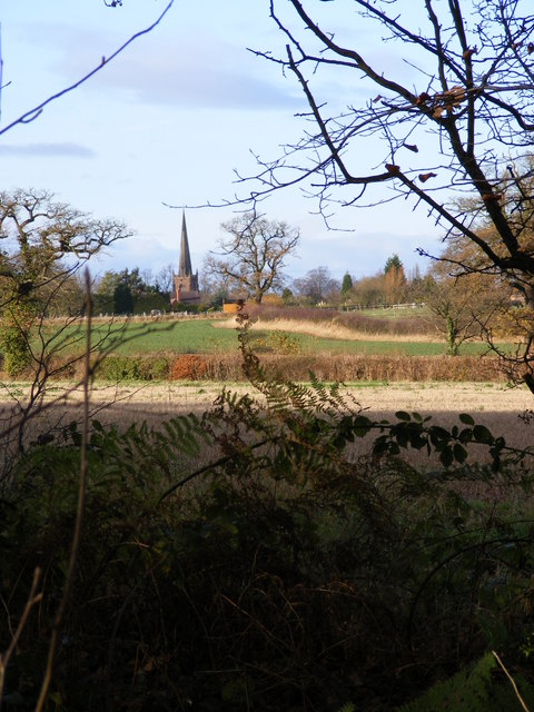
Horsebrook is a small village located in the county of Staffordshire, England. Situated approximately six miles northeast of the town of Stafford, it is nestled in a picturesque rural setting surrounded by rolling hills and fields. The village is part of the wider civil parish of Bradley and is home to a close-knit community of residents.
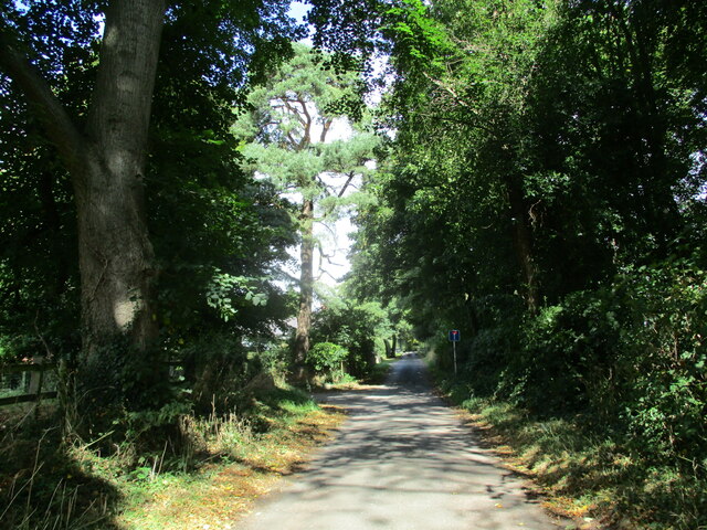
Horsebrook's origins can be traced back to medieval times, and it has retained much of its historical charm. The village features a mix of traditional stone and brick-built houses, giving it a quaint and timeless appeal. The surrounding countryside offers stunning views and ample opportunities for outdoor activities such as walking, hiking, and cycling.
Though small in size, Horsebrook boasts several amenities to cater to the needs of its residents. These include a village hall, a local pub, and a primary school, providing a focal point for community events and social gatherings. The village also benefits from good transportation links, with regular bus services connecting it to nearby towns and cities.
For those seeking cultural and historical attractions, Horsebrook is conveniently located near several notable landmarks. The historic town of Stafford offers a range of amenities, including shops, restaurants, and a castle, while the nearby Cannock Chase Area of Outstanding Natural Beauty provides a haven for nature lovers.
Overall, Horsebrook offers a peaceful and idyllic setting for those seeking a rural lifestyle, with access to both natural beauty and modern conveniences.
If you have any feedback on the listing, please let us know in the comments section below.
Horsebrook Images
Images are sourced within 2km of 52.692396/-2.170711 or Grid Reference SJ8810. Thanks to Geograph Open Source API. All images are credited.
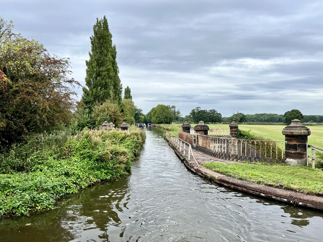
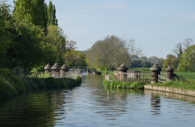
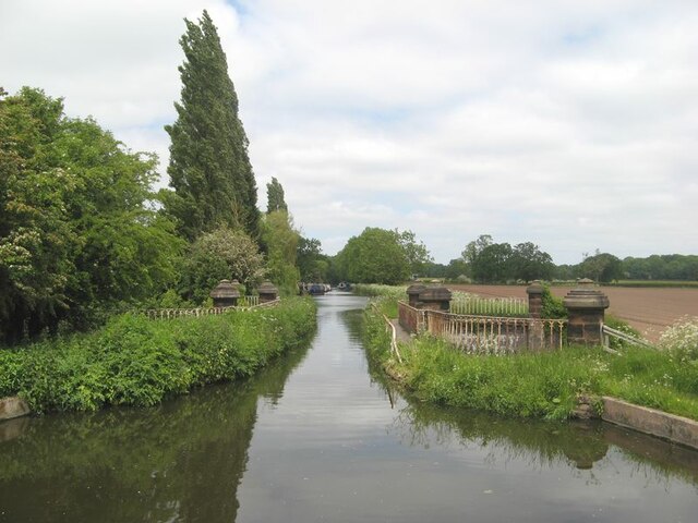
![Stretton Aqueduct, Shropshire Union Canal The text on the iron trough aqueduct proclaims this to be the Birmingham and Liverpool [Junction] Canal, which ran from Nantwich to Autherley Junction outside Wolverhampton and later became part of the Shropshire Union system. The name of the engineer Thomas Telford is below. Telford also engineered the turnpike road that passes beneath it, the A5 London to Holyhead road.](https://s1.geograph.org.uk/geophotos/07/39/45/7394513_0848dcc4.jpg)
![Stretton Aqueduct, Shropshire Union Canal (detail) The text on the iron trough aqueduct proclaims this to be the Birmingham and Liverpool [Junction] Canal, which ran from Nantwich to Autherley Junction outside Wolverhampton and later became part of the Shropshire Union system. The name of the engineer Thomas Telford is below. Telford also engineered the turnpike road that passes beneath it, the A5 London to Holyhead road.](https://s2.geograph.org.uk/geophotos/07/39/45/7394514_344d265d.jpg)
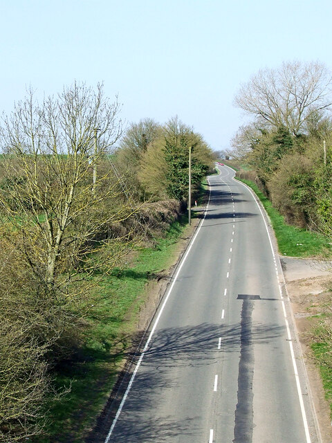
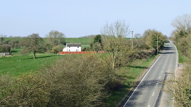
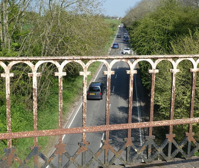
![Watling Street [A5], from Stretton Aqueduct The aqueduct railings could do with a repaint. The former Roman road is also a civil parish boundary here - Brewood &amp; Coven to the left/south, Lapley, Stretton &amp; Wheaton Aston to the right/north.](https://s2.geograph.org.uk/geophotos/07/51/37/7513782_52dce46e.jpg)
Horsebrook is located at Grid Ref: SJ8810 (Lat: 52.692396, Lng: -2.170711)
Administrative County: Staffordshire
District: South Staffordshire
Police Authority: Staffordshire
What 3 Words
///chiefs.snappy.butter. Near Brewood, Staffordshire
Nearby Locations
Related Wikis
Stretton, South Staffordshire
Stretton is a village and former civil parish, now in the parish of Lapley, Stretton and Wheaton Aston, in the South Staffordshire district, in the county...
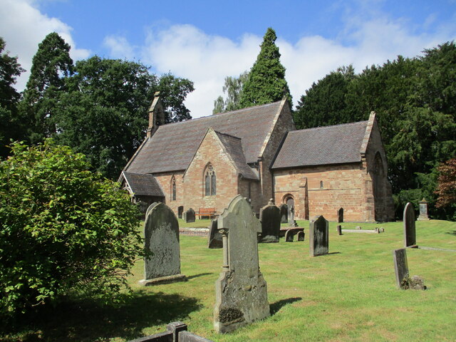
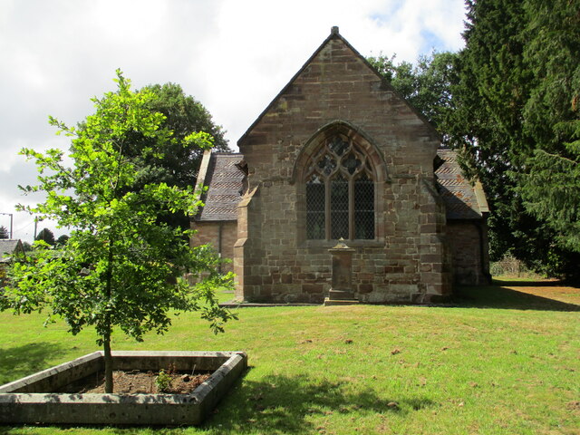
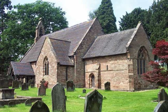
St John's Church, Stretton
St John's Church, Stretton is the Church of England parish church of Stretton, South Staffordshire. == History == The chancel is 12th century. The nave...

Stretton Hall, Staffordshire
Stretton Hall is an early 18th-century mansion house at Stretton, South Staffordshire. It is the home of a branch of the Monckton family descended from...

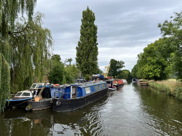
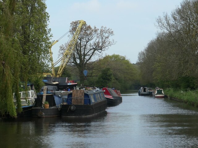
Stretton Aqueduct
Stretton Aqueduct is a short cast iron canal aqueduct between Stretton and Brewood, and near to Belvide Reservoir, in south Staffordshire, England. Designed...

Belvide Reservoir
Belvide Reservoir is a reservoir in South Staffordshire, England. It was built in 1833 to supply the Birmingham and Liverpool Junction Canal, and has been...

St Dominic's Grammar School
St Dominic's Grammar School (formerly St Dominic's Brewood and St Dominic's High School For Girls and boys ) is a private day school for girls and boys...
Brewood
Brewood is an ancient market town in the civil parish of Brewood and Coven, in the South Staffordshire district, in the county of Staffordshire, England...
Speedwell Castle
Speedwell Castle is a mid-18th-century house at the centre of Brewood, Staffordshire, between Wolverhampton and Stafford. Described by Pevsner as a "peach...
Nearby Amenities
Located within 500m of 52.692396,-2.170711Have you been to Horsebrook?
Leave your review of Horsebrook below (or comments, questions and feedback).