Beinn a' Chaorainn

Hill, Mountain in Aberdeenshire

Scotland

Beinn a' Chaorainn

High Level Marsh At around 850m on the slopes of Beinn a' Chaorainn is an area of bog, marsh and open water with  colourful tussocks amongst the water. Looking across upper Coire Etchachan to Derry Cairngorm at left and Beinn Mheadhoin at right. Ben Macdui is hidden in clouds in centre.
High Level Marsh Credit: Adam Ward

Beinn a' Chaorainn is a prominent hill/mountain located in Aberdeenshire, Scotland. Standing at an elevation of 1,057 meters (3,468 feet), it is part of the Cairngorms National Park, which is renowned for its stunning natural landscapes and diverse wildlife.

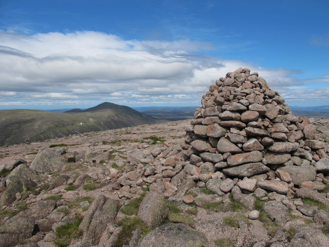
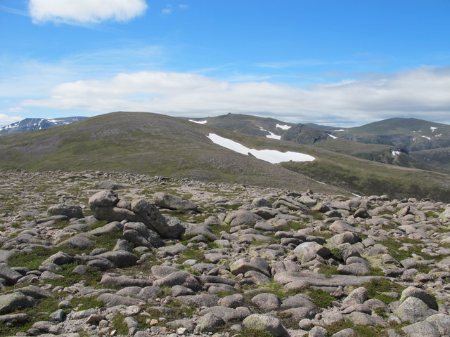
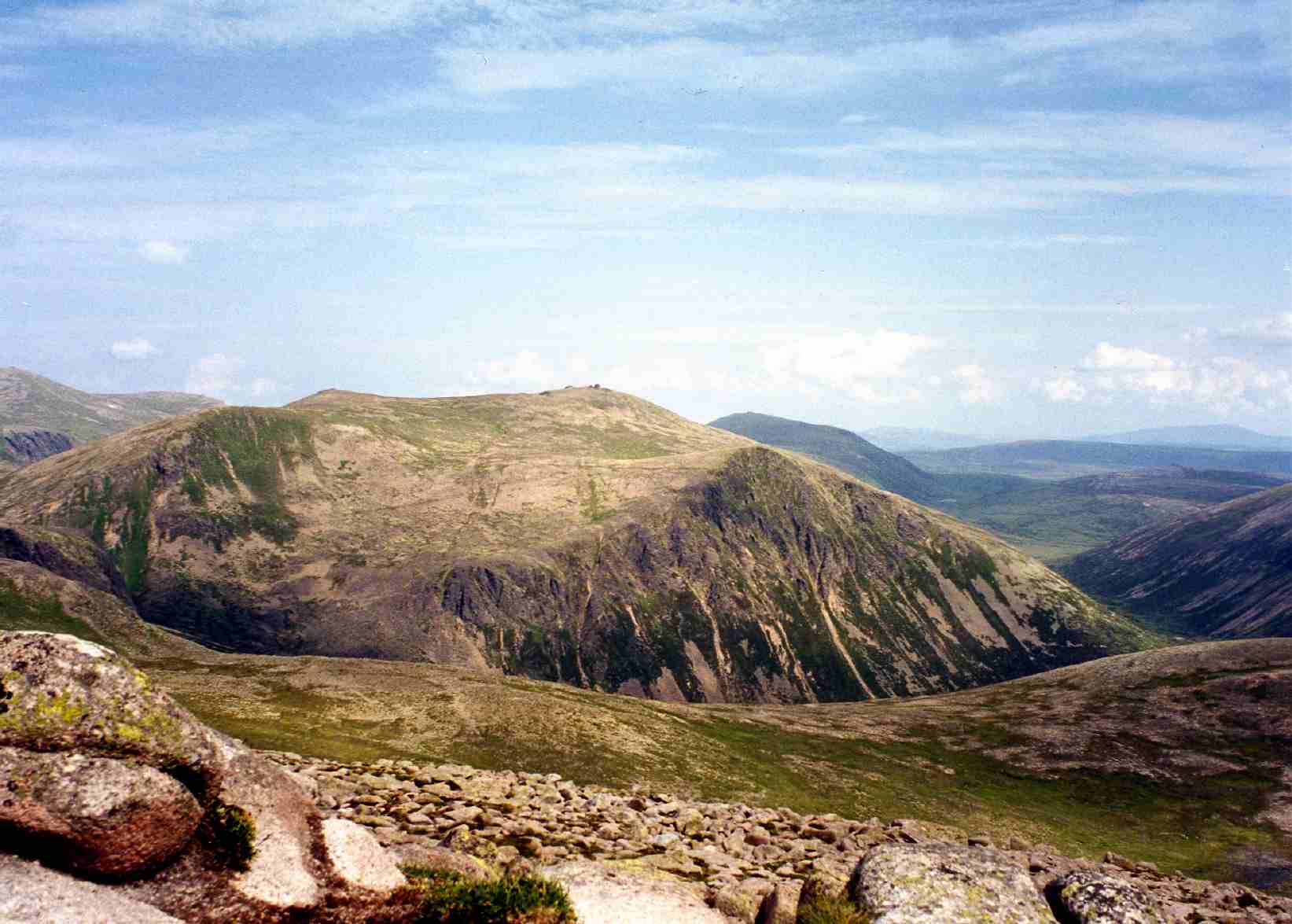
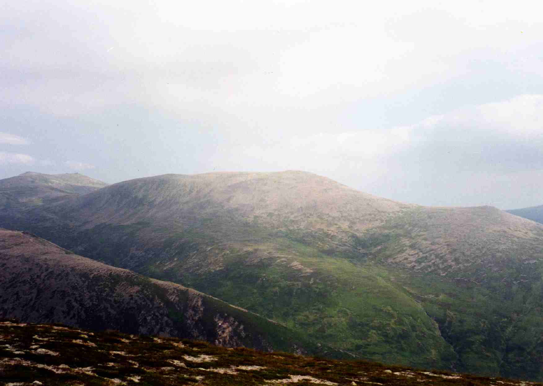
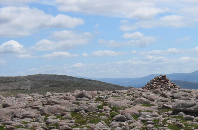
The name Beinn a' Chaorainn translates to "hill of the rowan tree" in Gaelic, indicating the presence of rowan trees in the area. The mountain itself is characterized by its rugged and rocky terrain, with steep slopes and narrow ridges. It forms part of a larger range known as the Cairngorms, which is famous for its challenging hikes and mountaineering opportunities.

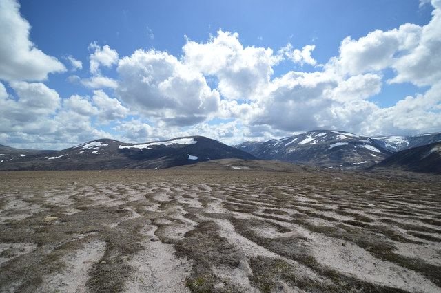
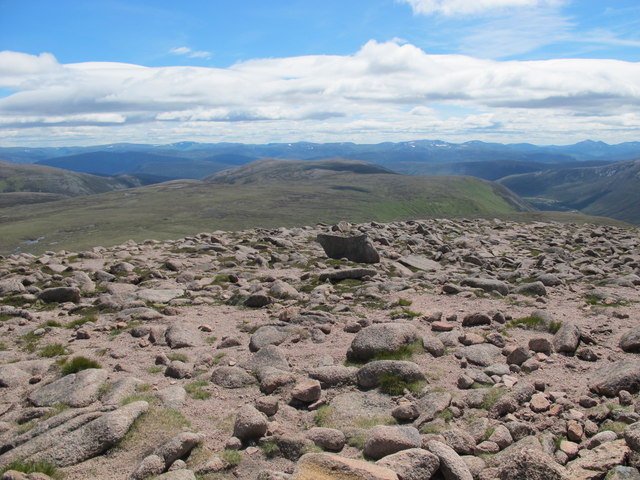
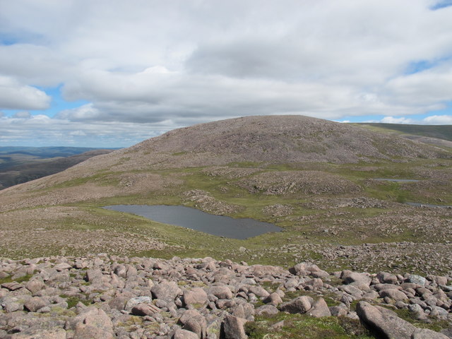
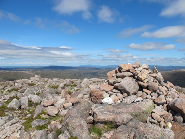
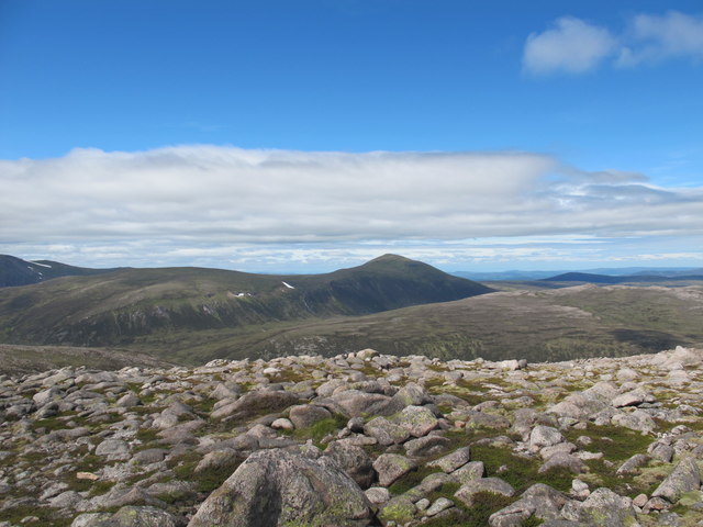
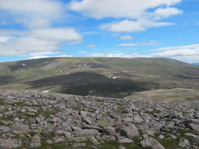
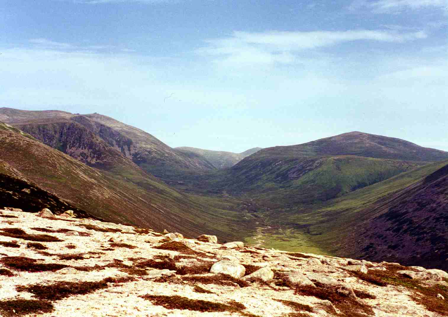
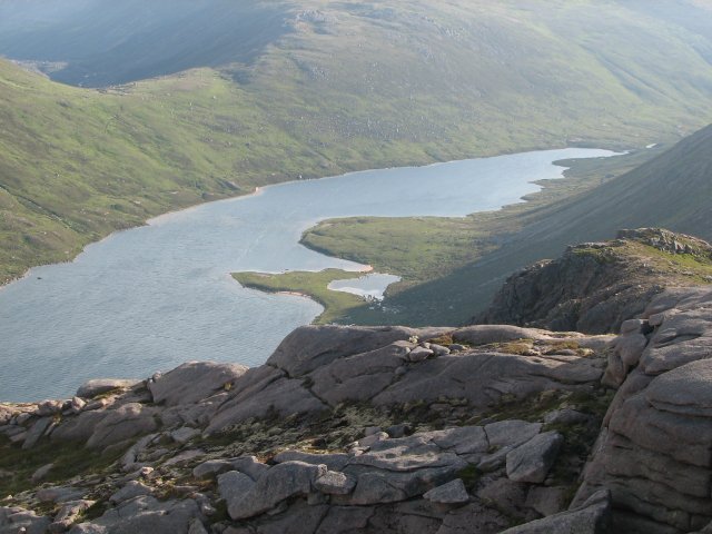
Beinn a' Chaorainn offers breathtaking panoramic views from its summit, showcasing the surrounding mountains, glens, and lochs. On clear days, it is possible to see as far as the Grampian Mountains and even the Moray Firth. The hill/mountain also boasts a rich variety of flora and fauna, including heather, mosses, and lichens, as well as mountain hares, ptarmigans, and golden eagles.

Due to its location within the Cairngorms National Park, Beinn a' Chaorainn is a popular destination for outdoor enthusiasts and nature lovers. The mountain provides opportunities for hiking, climbing, and wildlife spotting. However, it is important to note that the ascent can be challenging, requiring proper equipment and navigational skills.

Overall, Beinn a' Chaorainn offers visitors a chance to immerse themselves in the breathtaking beauty of the Scottish Highlands, with its dramatic landscapes, diverse wildlife, and captivating views.

If you have any feedback on the listing, please let us know in the comments section below.

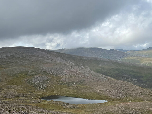
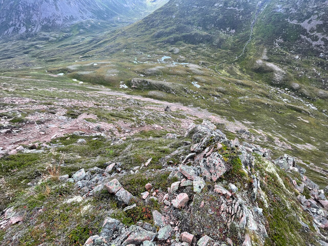
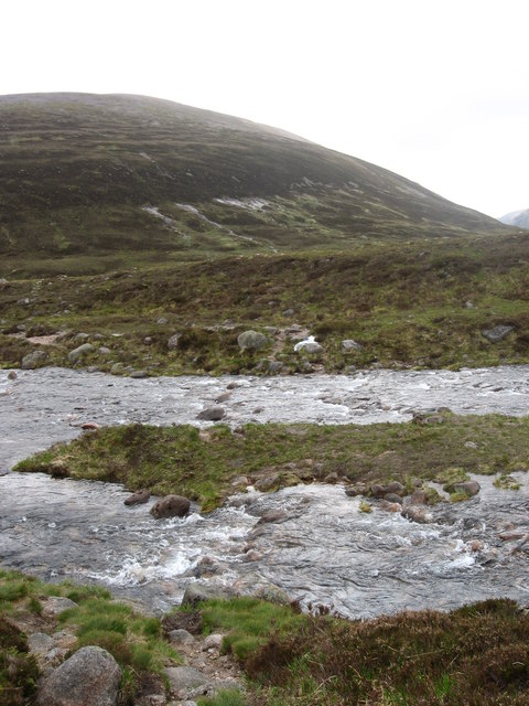
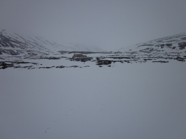
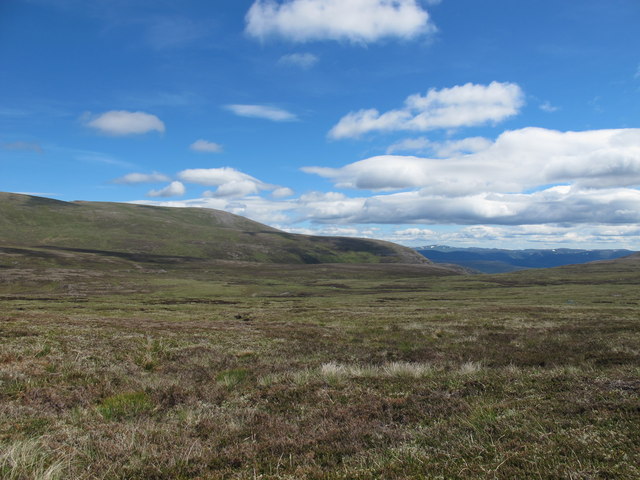
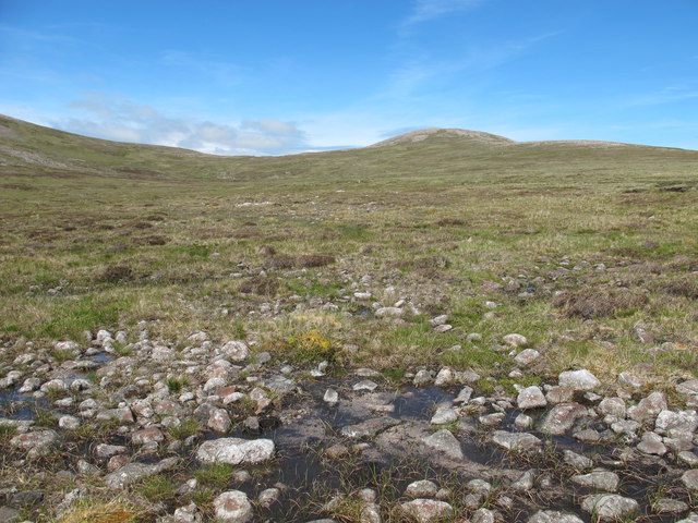
Beinn a' Chaorainn Images

Images are sourced within 2km of 57.093293/-3.5773546 or Grid Reference NJ0401. Thanks to Geograph Open Source API. All images are credited.

High Level Marsh At around 850m on the slopes of Beinn a' Chaorainn is an area of bog, marsh and open water with  colourful tussocks amongst the water. Looking across upper Coire Etchachan to Derry Cairngorm at left and Beinn Mheadhoin at right. Ben Macdui is hidden in clouds in centre.
High Level Marsh
At around 850m on the slopes of Beinn a' Chaorainn is an area of bog, marsh and open water with colourful tussocks amongst the water. Looking across upper Coire Etchachan to Derry Cairngorm at left and Beinn Mheadhoin at right. Ben Macdui is hidden in clouds in centre.
Lochan Beinn a' Chaorainn From summit of Beinn a' Chaorainn Bheag
Lochan Beinn a' Chaorainn
From summit of Beinn a' Chaorainn Bheag
From step descent to step ascent
Glas Allt Mor Taken on a descent to Glen Derry
Glas Allt Mor
Taken on a descent to Glen Derry
The Fords o' Avon
The Fords o' Avon
Lairig an Laoigh
Lairig an Laoigh
Ford of Avon & Refuge The stepping stones across the river Avon are somewhere beneath 2m+ of snow
Ford of Avon & Refuge
The stepping stones across the river Avon are somewhere beneath 2m+ of snow
Beinn a' Chaorainn & Beinn Mheadhoin from Creag Mhòr
Beinn Mheadhoin and Loch Avon from the SW spur of Creag Mhor of
Cairn on Beinn a' Chaorainn
View South from Beinn a' Chaorainn
Beinn a' Chaorainn Bheag With Lochan Beinn a' Chaorainn.
Beinn a' Chaorainn Bheag
With Lochan Beinn a' Chaorainn.
Small Cairn on Beinn a' Chaorainn Bheag
View West from Beinn a' Chaorainn Bheag
View North from Beinn a' Chaorainn Bheag
Beinn a' Bhuird Seen from just below the summit of Beinn a' Chaorainn Bheag
Beinn a' Bhuird
Seen from just below the summit of Beinn a' Chaorainn Bheag
Peat Hags in Cumh na Coinnich
Beinn a' Chaorainn Bheag from the South
Show me another place!

Beinn a' Chaorainn is located at Grid Ref: NJ0401 (Lat: 57.093293, Lng: -3.5773546)

Unitary Authority: Aberdeenshire

Police Authority: North East

What 3 Words

///posts.blog.motored. Near Inverey, Aberdeenshire

Nearby Locations

Beinn a' Chaorainn

Related Wikis

Nearby Amenities

Located within 500m of 57.093293,-3.5773546
Beinn a' Chaorainn
Description: Hill of the rowan
Ele: 1082
Marilyn: yes
Munro: yes
Munro Number: M058
Name Pl: Jarzębinowa Góra
Natural: peak
Prominence: 245
Source: survey
Wikidata: Q3403899
Wikipedia: en:Beinn a' Chaorainn (Cairngorms)
Lat/Long: 57.0933285/-3.5775874
The data included in this document is from www.openstreetmap.org. The data is made available under ODbL.

Have you been to Beinn a' Chaorainn?

Leave your review of Beinn a' Chaorainn below (or comments, questions and feedback).