Boghall Hill
Hill, Mountain in Perthshire
Scotland
Boghall Hill

Boghall Hill is a prominent topographical feature located in Perthshire, Scotland. With an elevation of approximately 250 meters (820 feet), it is considered a hill rather than a mountain. Situated in the southern part of Perthshire, Boghall Hill is part of the Ochil Hills range, which stretches across central Scotland.
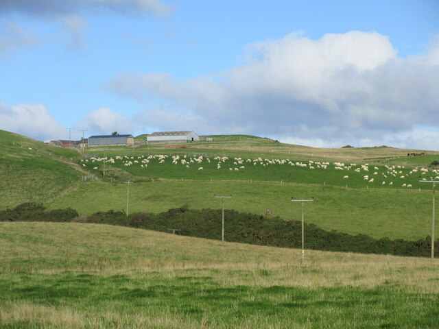
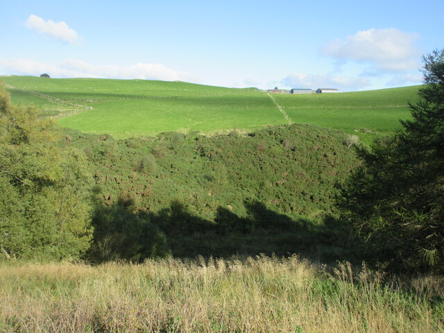
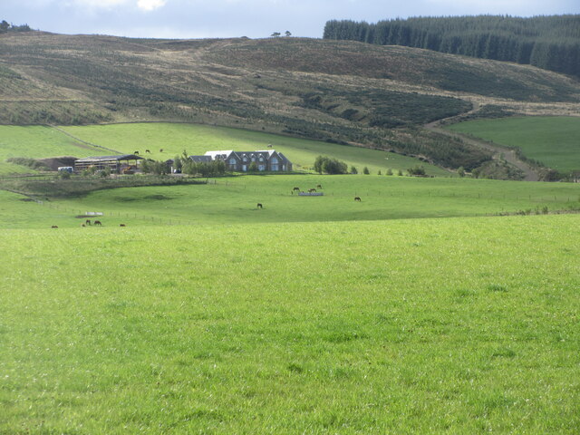
The hill is characterized by its gently sloping sides and rounded summit, offering panoramic views of the surrounding landscape. Its position within the Ochil Hills makes it an excellent vantage point for observing the picturesque valleys, rolling hills, and distant mountains that define the region.
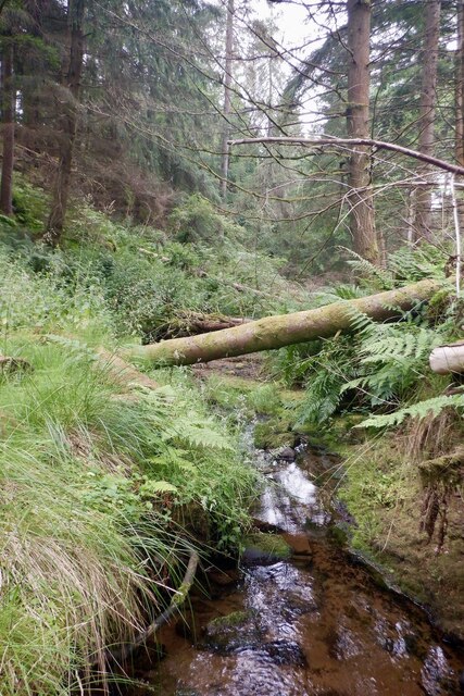
Boghall Hill is covered in a patchwork of vegetation, including grasses, heather, and scattered trees. This diverse plant life supports a variety of wildlife, including birds, small mammals, and insects. The hill is also home to several species of wildflowers, adding bursts of color to the landscape during the spring and summer months.
Due to its accessible location, Boghall Hill attracts outdoor enthusiasts and nature lovers alike. Walking trails and footpaths crisscross the hill, providing opportunities for leisurely strolls and more challenging hikes. The hill's proximity to nearby towns and villages also makes it a popular destination for day trips and picnics.
Despite its relatively modest height, Boghall Hill offers visitors a captivating glimpse into the natural beauty of Perthshire. Whether for recreational activities or simply enjoying the serene surroundings, this hill is a testament to the enchanting landscapes that define Scotland's countryside.
If you have any feedback on the listing, please let us know in the comments section below.
Boghall Hill Images
Images are sourced within 2km of 56.301269/-3.5448524 or Grid Reference NO0413. Thanks to Geograph Open Source API. All images are credited.


Boghall Hill is located at Grid Ref: NO0413 (Lat: 56.301269, Lng: -3.5448524)
Unitary Authority: Perth and Kinross
Police Authority: Tayside
What 3 Words
///shunts.burglars.lovely. Near Bridge of Earn, Perth & Kinross
Nearby Locations
Related Wikis

Ochil and South Perthshire (UK Parliament constituency)
Ochil and South Perthshire is a county constituency of the House of Commons of the Parliament of the United Kingdom. It elects one Member of Parliament...

Dupplin Cross
The Dupplin Cross is a carved, monumental Pictish stone, which dates from around 800 AD. It was first recorded by Thomas Pennant in 1769, on a hillside...
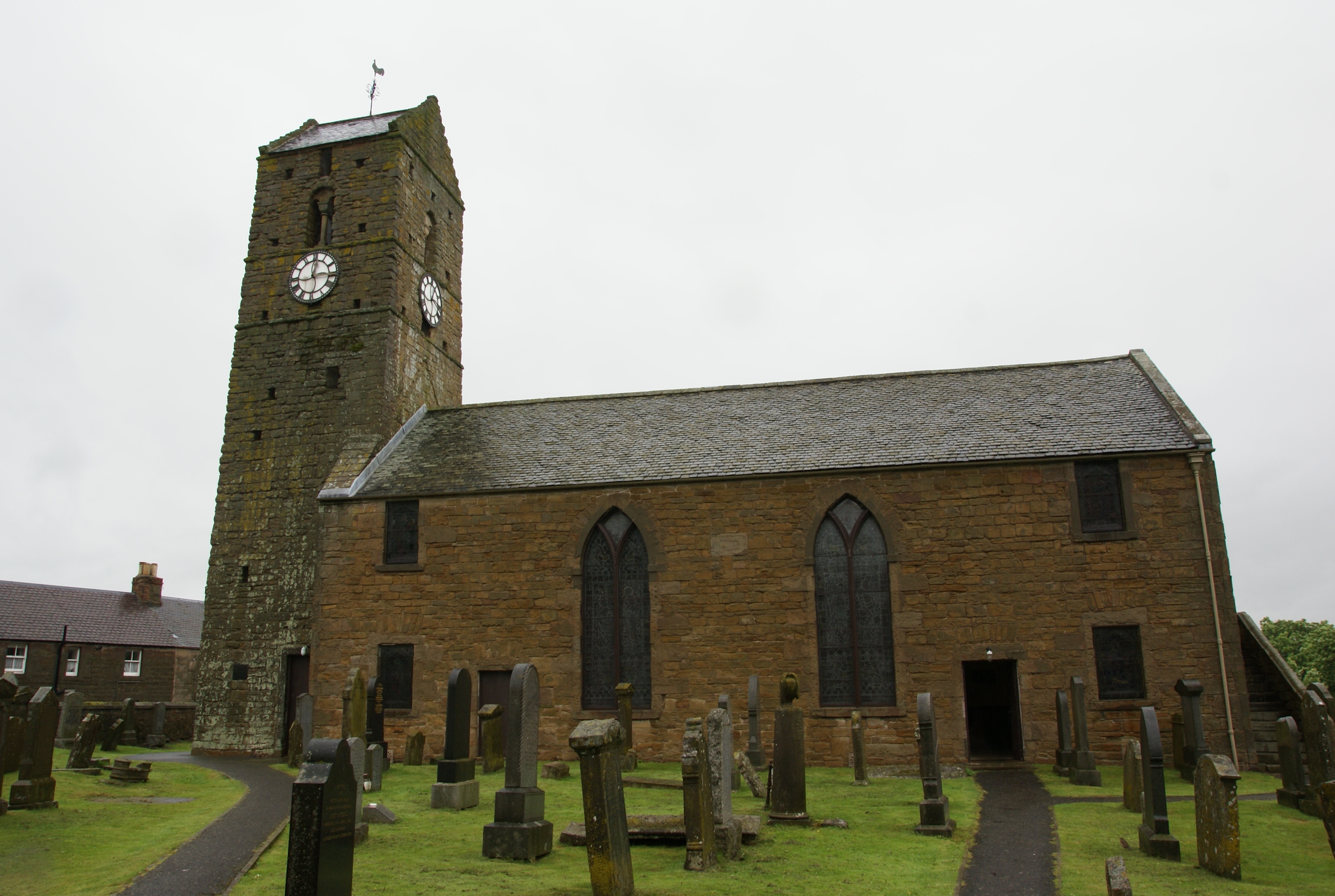
St Serf's Church, Dunning
St Serf's Church in the Scottish village of Dunning, Perth and Kinross is a Category A listed building largely dating to the early 19th century, but incorporating...

Dunning, Perth and Kinross
Dunning is a small village in Perth and Kinross in Scotland with a population of about 1,000. The village centres around the 12th–13th century former parish...

Invermay
Invermay ( ) is a diffuse settlement in Perth and Kinross, Scotland. It is situated approximately 2 km southeast of Forteviot on the Water of May, some...
Forteviot
Forteviot (Scottish Gaelic: Fothair Tabhaicht) (Ordnance Survey grid reference NO052175) is a village in Strathearn, Scotland on the south bank of the...

Forteviot Bronze Age tomb
Forteviot Bronze Age tomb is a Bronze Age burial chamber discovered in 2009 at Forteviot near Perth, Scotland. The Bronze Age tomb is one of a number of...

Forteviot railway station
Forteviot railway station served the village of Forteviot, Perth and Kinross, Scotland from 1848 to 1956 on the Scottish Central Railway. == History... ==
Nearby Amenities
Located within 500m of 56.301269,-3.5448524Have you been to Boghall Hill?
Leave your review of Boghall Hill below (or comments, questions and feedback).