Dent
Hill, Mountain in Cumberland Copeland
England
Dent

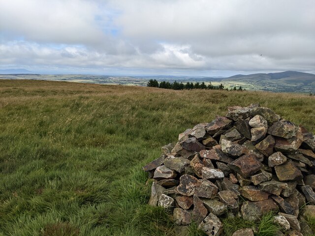
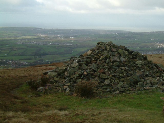
Dent, Cumberland, also known as Dent Hill or Dent Mountain, is a prominent geographical feature located in the county of Cumbria, England. Rising to an elevation of 352 meters (1,155 feet) above sea level, it forms part of the Pennines, a range of hills and mountains that traverse the northern regions of England.
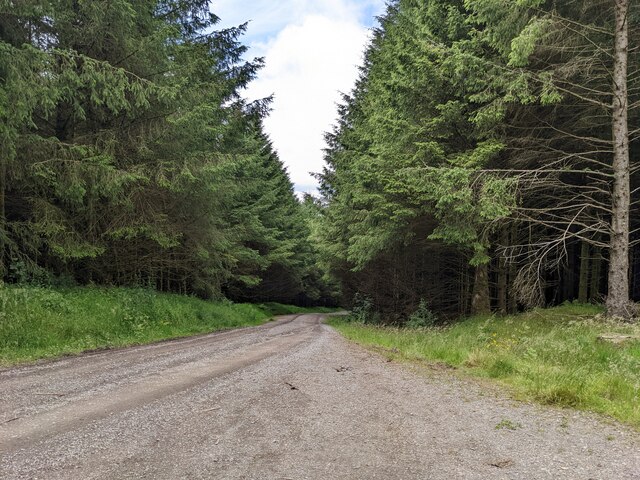
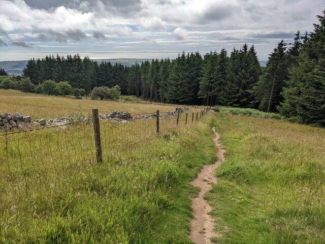
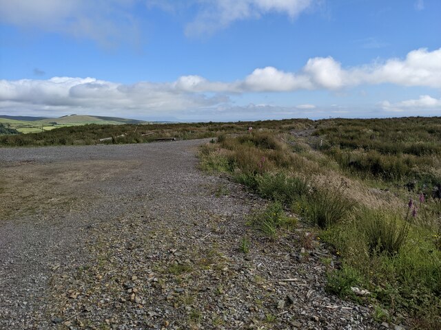
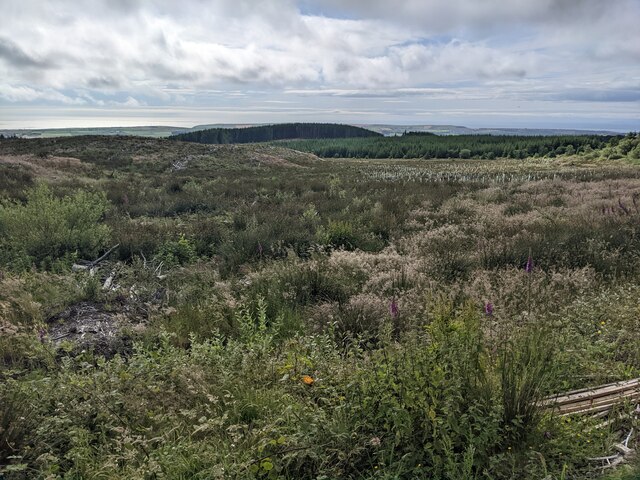
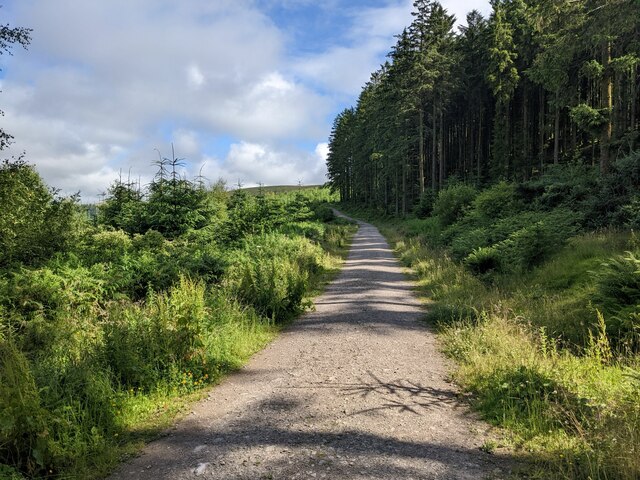
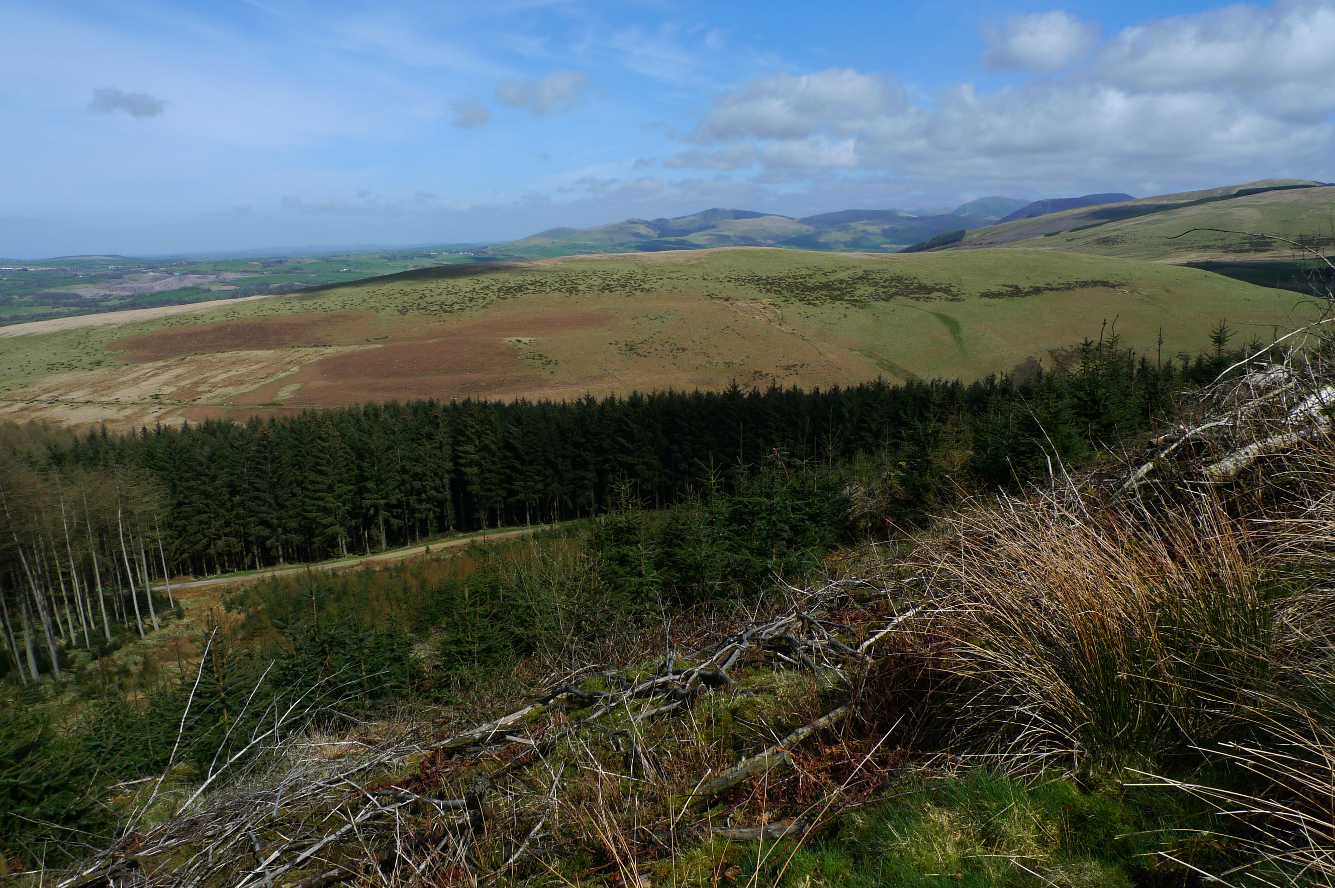
Situated in the western part of the Yorkshire Dales National Park, Dent Hill offers breathtaking panoramic views of the surrounding landscape. Its distinct shape and steep slopes make it a popular destination for hikers, climbers, and nature enthusiasts. The hill is characterized by its rugged terrain, with rocky outcrops and grassy slopes interspersed with patches of heather and bracken.
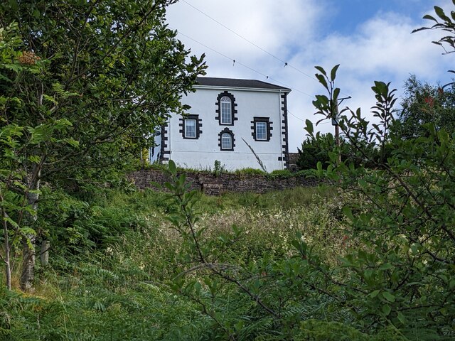
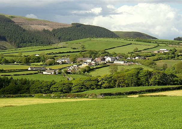
One of the main attractions of Dent Hill is its proximity to the charming village of Dent, which lies at the foot of the hill. The village is known for its picturesque beauty and its well-preserved historic architecture. Visitors can explore its cobbled streets, traditional stone houses, and visit the local shops, cafes, and pubs.
Dent Hill also boasts a rich natural environment, with an abundance of flora and fauna. The hillside is home to various species of birds, including peregrine falcons and red grouse, as well as numerous plant species such as bilberry and heather. The area is also traversed by several walking trails, allowing visitors to fully immerse themselves in the beauty of the landscape.
Overall, Dent Hill in Cumberland is a captivating destination for those seeking outdoor adventures, stunning vistas, and a glimpse into the history and culture of the Yorkshire Dales.
If you have any feedback on the listing, please let us know in the comments section below.
Dent Images
Images are sourced within 2km of 54.502344/-3.4816817 or Grid Reference NY0412. Thanks to Geograph Open Source API. All images are credited.


Dent is located at Grid Ref: NY0412 (Lat: 54.502344, Lng: -3.4816817)
Administrative County: Cumbria
District: Copeland
Police Authority: Cumbria
What 3 Words
///crowned.ballooned.ruffling. Near Cleator Moor, Cumbria
Related Wikis
Dent (fell)
Dent is a small fell on the fringe of the English Lake District near the towns of Cleator Moor and Egremont. Sometimes known as Long Barrow, it is traditionally...
Flat Fell
Flat Fell is a hill located on the edge of the English Lake District, standing at 272m. It is included in Alfred Wainwright's Outlying Fells of Lakeland...

Blakeley Raise
Blakeley Raise is a fell in the English Lake District, standing at 389m. Unlike its neighbours Grike, Crag Fell and Lank Rigg it is not listed as a Wainwright...
Wilton, Cumbria
Wilton is a hamlet in the Copeland district, in the county of Cumbria, England. It is near the small town of Egremont. In 1870-72 it had a population of...
Nearby Amenities
Located within 500m of 54.502344,-3.4816817Have you been to Dent?
Leave your review of Dent below (or comments, questions and feedback).