Boncyn Celyn

Hill, Mountain in Montgomeryshire

Wales

Boncyn Celyn

View from Glyndwr's Way near Llanwddyn
View from Glyndwr's Way near Llanwddyn Credit: Dave Kelly

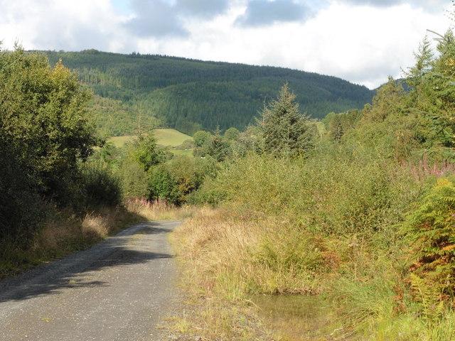
Boncyn Celyn is a prominent hill located in the historic county of Montgomeryshire, Wales. Situated within the Cambrian Mountains, it stands at an elevation of 1,265 feet (385 meters) above sea level. The hill is part of a range that stretches from the River Severn to the River Wye, offering stunning panoramic views of the surrounding countryside.

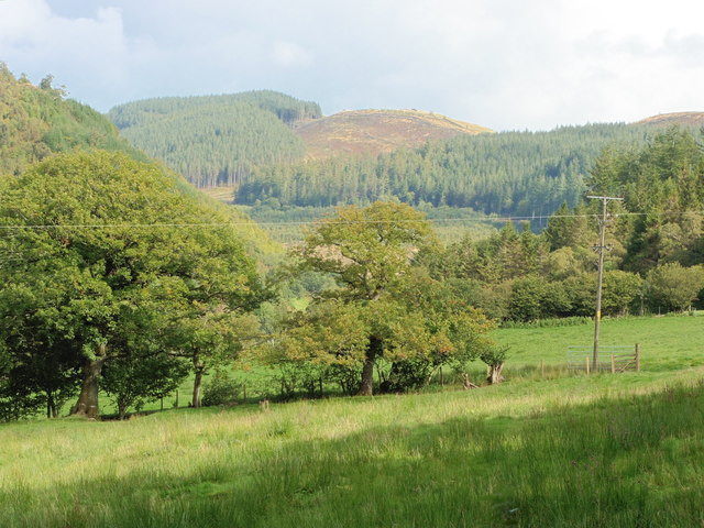
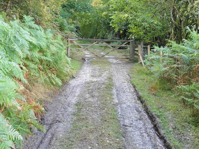
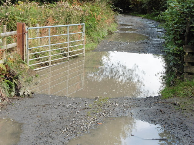
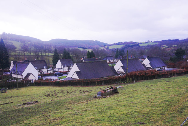
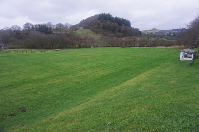
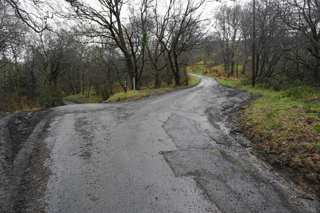
Boncyn Celyn is characterized by its rugged beauty, with its slopes covered in heather, grasses, and scattered patches of woodland. The hill is a popular destination for outdoor enthusiasts, attracting hikers, walkers, and nature lovers. Numerous footpaths crisscross the hill, allowing visitors to explore its diverse range of flora and fauna.

At the summit of Boncyn Celyn, there is a small cairn that marks the highest point. On clear days, the view from the top extends for miles, encompassing rolling hills, valleys, and distant mountains. The hill is also home to a variety of wildlife, including red kites, buzzards, and various species of small mammals.

Boncyn Celyn is steeped in history, with evidence of human activity dating back thousands of years. The hill is dotted with ancient burial mounds, providing a glimpse into the area's rich past. Additionally, the surrounding area is known for its mining heritage, with remnants of old lead mines still visible in certain parts.

Overall, Boncyn Celyn is a picturesque and culturally significant hill in Montgomeryshire, offering visitors a chance to immerse themselves in the natural beauty and history of the region.

If you have any feedback on the listing, please let us know in the comments section below.
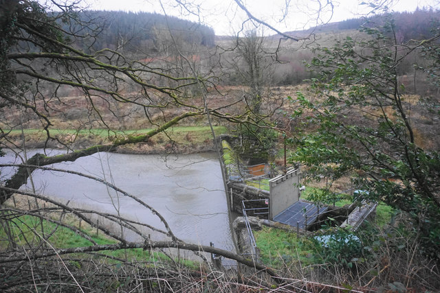
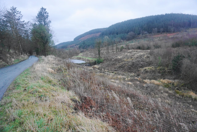
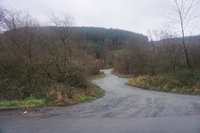
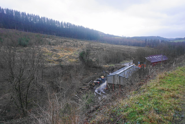
Boncyn Celyn Images

Images are sourced within 2km of 52.754685/-3.4242074 or Grid Reference SJ0318. Thanks to Geograph Open Source API. All images are credited.

View from Glyndwr's Way near Llanwddyn
Glyndwr's Way near Llanwddyn
Glyndwr's Way near Abertridwr Recent heavy rain had made the puddle several inches deep.
Glyndwr's Way near Abertridwr
Recent heavy rain had made the puddle several inches deep.
Glyndwr's Way near Abertridwr
The dam of the Marchant reservoir The water here was part of the Liverpool Corporation Waterworks scheme centred in Lake Vyrnwy. A description of the proposed works was posted in the London Gazette of 18/11/1879: 
8. An Aqueduct (to be called the Marchnant
Aqueduct) wholly situate in the township of
Marchnant and parish of Llanwddyn commencing
in the stream known as the Marchnant
about 2 chains above a dam or
weir to be placed across the said stream
at a point, thereon 6 chains or thereabouts
in a southerly direction from the farmhouse
known as Gwreiddian and terminating in
the said intended reservoir at a point 14
chains or thereabouts in a northerly direction
from the Cynon Isaf farmhouse aforesaid.
The dam of the Marchant reservoir
The water here was part of the Liverpool Corporation Waterworks scheme centred in Lake Vyrnwy. A description of the proposed works was posted in the London Gazette of 18/11/1879: 8. An Aqueduct (to be called the Marchnant Aqueduct) wholly situate in the township of Marchnant and parish of Llanwddyn commencing in the stream known as the Marchnant about 2 chains above a dam or weir to be placed across the said stream at a point, thereon 6 chains or thereabouts in a southerly direction from the farmhouse known as Gwreiddian and terminating in the said intended reservoir at a point 14 chains or thereabouts in a northerly direction from the Cynon Isaf farmhouse aforesaid.
The Marchnant valley Looking up towards the dam. Forestry is the predominant industry.
The Marchnant valley
Looking up towards the dam. Forestry is the predominant industry.
Meandering track across the Marchnant valley The beginning of a path across the forested ridge.
Meandering track across the Marchnant valley
The beginning of a path across the forested ridge.
Sawmill above Abertridwr This is only a small operation but it has plenty of local material.
Sawmill above Abertridwr
This is only a small operation but it has plenty of local material.
Housing development in Abertridwr Necessary housing viewed in fading light on a wet winter afternoon.
Housing development in Abertridwr
Necessary housing viewed in fading light on a wet winter afternoon.
David Rowlands Community Field The former pitch for Llanwddyn Football Club. It is certainly a community asset, but I am not sure who is currently using it.
David Rowlands Community Field
The former pitch for Llanwddyn Football Club. It is certainly a community asset, but I am not sure who is currently using it.
Woodland above the Vyrnwy valley Part of the Vyrnwy Estate. There are lots of very neat little piles of logs, but one cannot tell what use will be made of them.
Woodland above the Vyrnwy valley
Part of the Vyrnwy Estate. There are lots of very neat little piles of logs, but one cannot tell what use will be made of them.
Churchyard of St Wddyn's Part of the relocated churchyard.
Churchyard of St Wddyn's
Part of the relocated churchyard.
Track junction above Coed Grwn-oer Both routes soon peter out for vehicles, although there is still a network of routes on foot.
Track junction above Coed Grwn-oer
Both routes soon peter out for vehicles, although there is still a network of routes on foot.
Car park, Llanwddyn The eastern end of the long stay car park with a path leading on to the sculpture park and riverside walks.
Car park, Llanwddyn
The eastern end of the long stay car park with a path leading on to the sculpture park and riverside walks.
Corner at Abertridwr
Ordnance Survey Cut Mark This OS cut mark can be found on the NW face of Aber Marchnant Farm. It marks a point 237.254m above mean sea level.
Ordnance Survey Cut Mark
This OS cut mark can be found on the NW face of Aber Marchnant Farm. It marks a point 237.254m above mean sea level.
Ordnance Survey Cut Mark This OS cut mark can be found on the west parapet of the bridge. It marks a point 259.781m above mean sea level.
Ordnance Survey Cut Mark
This OS cut mark can be found on the west parapet of the bridge. It marks a point 259.781m above mean sea level.
B4393 east of Abertridwr Heading east
B4393 east of Abertridwr
Heading east
Show me another place!

Boncyn Celyn is located at Grid Ref: SJ0318 (Lat: 52.754685, Lng: -3.4242074)

Unitary Authority: Powys

Police Authority: Dyfed Powys

What 3 Words

///dusts.removers.mourner. Near Llangadfan, Powys

Nearby Locations

Boncyn Celyn

Related Wikis

Abertridwr, Powys

Abertridwr () is a small village in the historic county of Montgomeryshire in the north of Powys and close to Lake Vyrnwy in the community (civil parish...

Llanwddyn

Llanwddyn () is a village and community in Montgomeryshire, Powys, Wales. The community is centred on the Lake Vyrnwy reservoir. The original Llanwddyn...

Llwydiarth

Llwydiarth is a small village in Powys, Wales. It is located near Lake Vyrnwy. The village is mostly made up of a caravan park and holiday centre. It does...

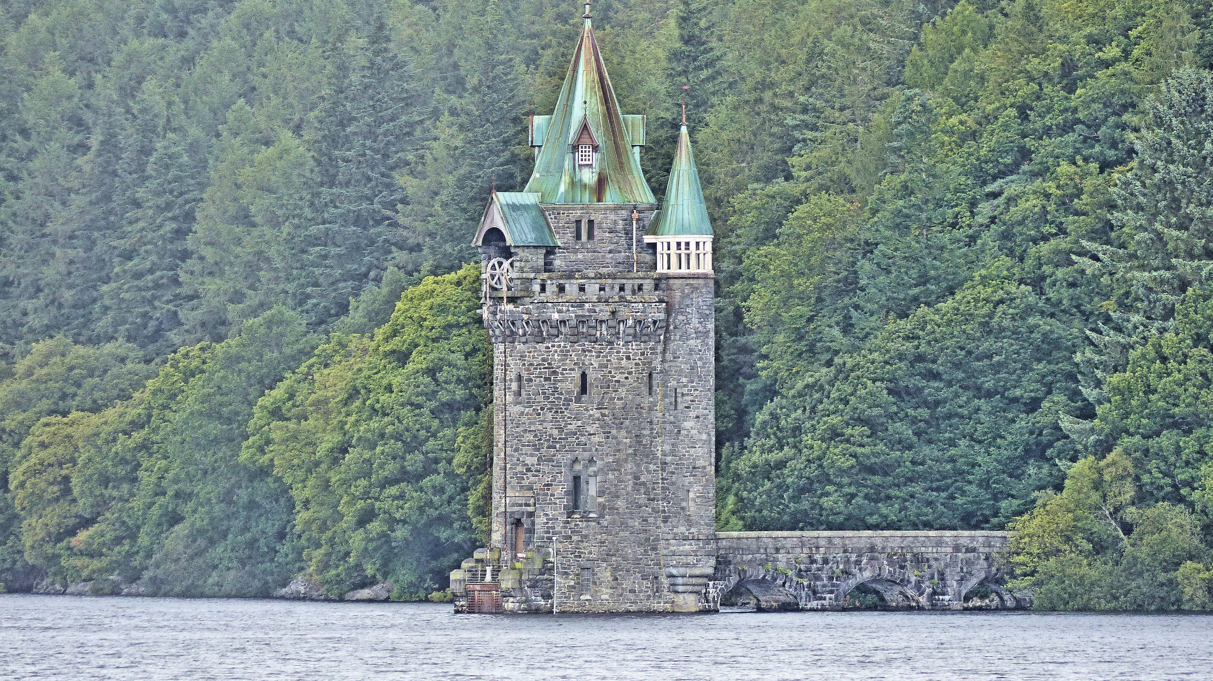
Lake Vyrnwy Straining Tower

The Straining Tower at Lake Vyrnwy is an intake tower built to extract water from the lake. The tower stands on the north shore of Lake Vyrnwy, near the...

Nearby Amenities

Located within 500m of 52.754685,-3.4242074
Place: farm
Lat/Long: 52.7528883/-3.4177143
The data included in this document is from www.openstreetmap.org. The data is made available under ODbL.

Have you been to Boncyn Celyn?

Leave your review of Boncyn Celyn below (or comments, questions and feedback).