Allt yr Hendre

Hill, Mountain in Montgomeryshire

Wales

Allt yr Hendre

Field near Llandinam
Field near Llandinam Credit: Steven Brown

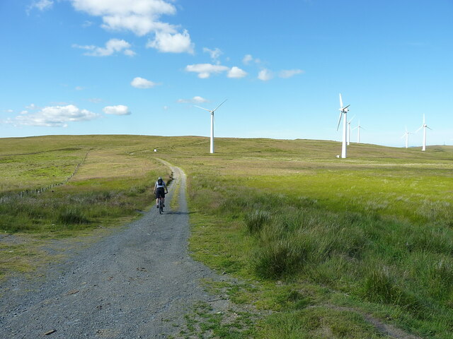
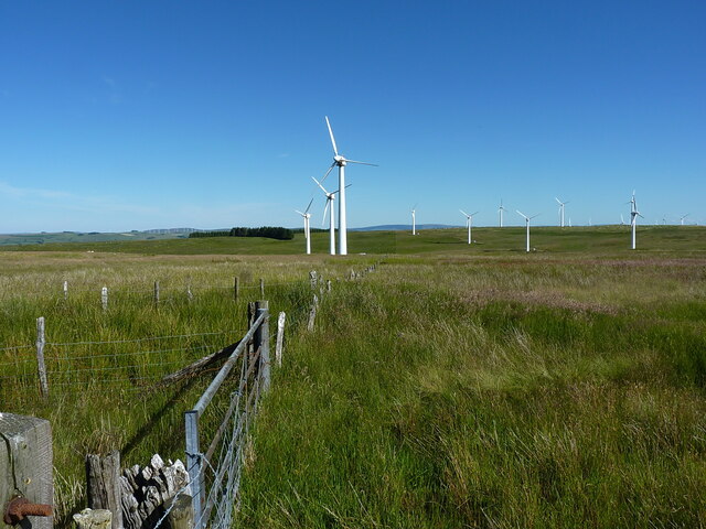
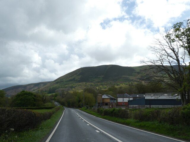
Allt yr Hendre is a prominent hill or mountain located in Montgomeryshire, Wales. With an elevation of approximately 475 meters (1,558 feet), it offers breathtaking views of the surrounding countryside. Situated in the heart of the Cambrian Mountains, Allt yr Hendre is a popular destination for hikers, nature enthusiasts, and outdoor adventurers.

The hill is characterized by its rugged terrain, featuring steep slopes, rocky outcrops, and dense vegetation. It is covered in a mixture of grasses, heather, and scattered patches of woodland, providing a diverse habitat for a variety of wildlife. Visitors may encounter species such as red grouse, mountain hares, and various songbirds during their exploration of the area.

At the summit of Allt yr Hendre, visitors are rewarded with panoramic views that stretch for miles. On a clear day, one can see the rolling hills and valleys of Montgomeryshire, dotted with charming villages and farmland. The stunning natural beauty of the surrounding landscape, combined with the tranquility of the location, makes Allt yr Hendre a popular spot for picnics and relaxation.

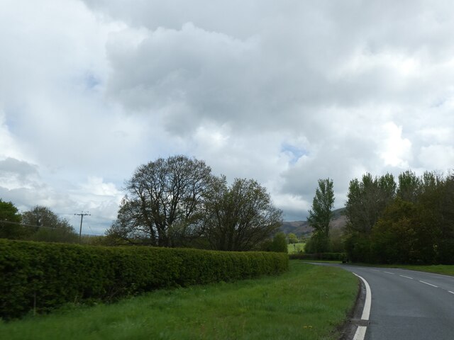
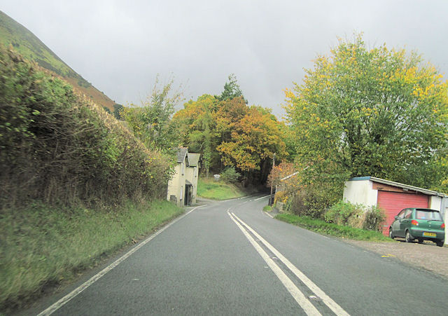
Access to Allt yr Hendre is facilitated by a network of walking trails and footpaths that wind their way up the hill. These paths cater to different levels of difficulty, ensuring that both experienced hikers and beginners can enjoy the beauty of the mountain. Additionally, the hill is easily accessible from nearby towns and villages, making it a convenient destination for day trips or longer excursions.

Overall, Allt yr Hendre is a captivating and picturesque hill in Montgomeryshire, offering visitors a chance to immerse themselves in the natural beauty and serenity of the Welsh countryside.

If you have any feedback on the listing, please let us know in the comments section below.

Allt yr Hendre Images

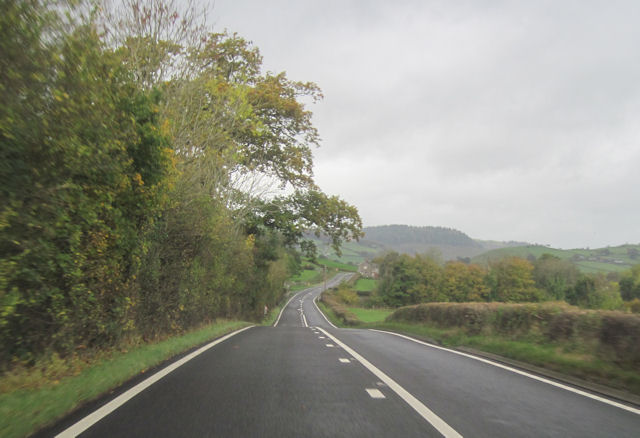
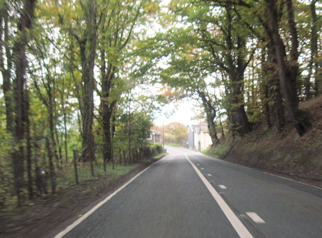
Images are sourced within 2km of 52.463161/-3.4389619 or Grid Reference SO0285. Thanks to Geograph Open Source API. All images are credited.

Field near Llandinam
High on the moor at the western edge of the windfarm Gravel riding along the track serving access to the turbines and infrastructure on Waun Lluestowain.
High on the moor at the western edge of the windfarm
Gravel riding along the track serving access to the turbines and infrastructure on Waun Lluestowain.
Fenceline near the northern end of the wind farm Ancient moorland, middle aged fence & posts and modern wind turbines.
Fenceline near the northern end of the wind farm
Ancient moorland, middle aged fence & posts and modern wind turbines.
An imaginary bridleway My brother warned me that he'd been here before, and that he'd struggled to follow a clear route across this bit of moor, but I did rather expect to find a few clues as to where the right of way runs. I was disappointed - there's absolutely nothing on the ground at all in the way of clues, apart from a few random sheep tracks.
An imaginary bridleway
My brother warned me that he'd been here before, and that he'd struggled to follow a clear route across this bit of moor, but I did rather expect to find a few clues as to where the right of way runs. I was disappointed - there's absolutely nothing on the ground at all in the way of clues, apart from a few random sheep tracks.
Joining the bridleway The gates here mark the point at which a quad-track across the hill leaves/joins the landrover track on the eastern flank of Yr Allt Gethin. One of them is securely bolted; the other is easy to climb over.
Joining the bridleway
The gates here mark the point at which a quad-track across the hill leaves/joins the landrover track on the eastern flank of Yr Allt Gethin. One of them is securely bolted; the other is easy to climb over.
Farm gate by a set of sheep pens The gate lies right across the descent of a fast bridleway, breaking the flow on a bike, but it obviously has a purpose to prevent sheep straying all over the hillside. Moel Iart in <a href="https://www.geograph.org.uk/gridref/SO0488">SO0488</a> above Llandinam forms most of the middle distance.
Farm gate by a set of sheep pens
The gate lies right across the descent of a fast bridleway, breaking the flow on a bike, but it obviously has a purpose to prevent sheep straying all over the hillside. Moel Iart in SO0488 above Llandinam forms most of the middle distance.
Gateway immediately east of Waen-llwydion The gateway marks the bottom end of the unsurfaced bridleway descent from Yr Allt Gethin hill, the road from here onwards is tarmacked into Llandinam.
Gateway immediately east of Waen-llwydion
The gateway marks the bottom end of the unsurfaced bridleway descent from Yr Allt Gethin hill, the road from here onwards is tarmacked into Llandinam.
A470 at Tyncoed
A470 at Tyncoed
A470 near Glanfeinion
A470 west of Glanfeinion
A470 entering Glanfeinion from west
A470 approaching Pen-rhuddlan Bridge
Trees lining A470 north of Pen-rhuddlan Bridge
Pwllan Cottages on A470
Woodland by A470 south of Tyncoed
Pwllan Cottages from A470 south
A470 approaching Glan-Feinion Southbound A470
A470 approaching Glan-Feinion
Southbound A470
A470 past Neuadd Fach Looking towards Caersws
A470 past Neuadd Fach
Looking towards Caersws
Show me another place!

Allt yr Hendre is located at Grid Ref: SO0285 (Lat: 52.463161, Lng: -3.4389619)

Unitary Authority: Powys

Police Authority: Dyfed Powys

What 3 Words

///dared.twee.cassettes. Near Mochdre, Powys

Nearby Locations

Allt y Moch Allt yr Hendre

Related Wikis

Penystrywad

Penystrywad is a village near Llandinam in Powys, central Wales, between Newtown and Llanidloes, located on the A470.

Llandinam

Llandinam () is a village and community in Montgomeryshire, Powys, central Wales, between Newtown and Llanidloes, located on the A470. As a community,...

Llandinam railway station

Llandinam railway station was a station serving Llandinam, Powys, on the Llanidloes and Newtown Railway (L&NR) line. The L&NR was authorised in August...
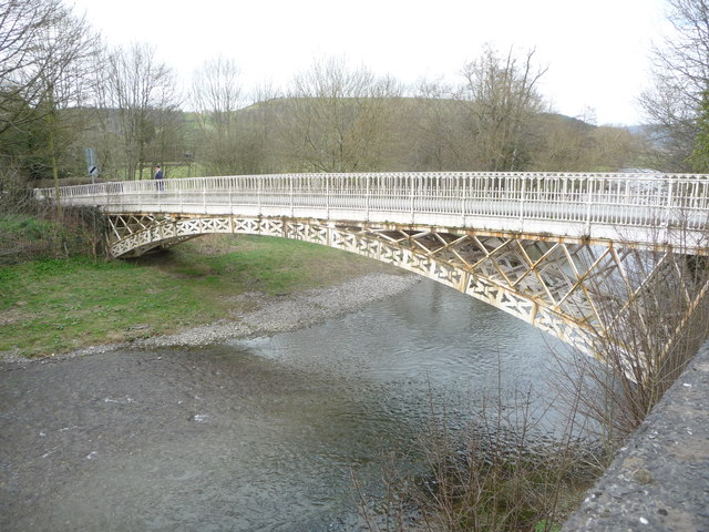
Llandinam Bridge

Llandinam Bridge (Welsh: Pont Llandinam) is a single-arch cast-iron Grade II*-listed bridge located in Llandinam, Powys, Wales. Constructed in 1846, it...

Nearby Amenities

Located within 500m of 52.463161,-3.4389619
Power: pole
Lat/Long: 52.4595753/-3.4425865
Power: pole
Lat/Long: 52.4601408/-3.443257
Power: pole
Lat/Long: 52.4606654/-3.4439732
Power: pole
Lat/Long: 52.4617081/-3.4454672
Power: pole
Lat/Long: 52.4621689/-3.4461323
Power: pole
Lat/Long: 52.4596068/-3.4422398
Power: pole
Lat/Long: 52.4602719/-3.443031
Power: pole
Lat/Long: 52.4607671/-3.4437204
Power: pole
Lat/Long: 52.4612803/-3.4444768
Power: pole
Lat/Long: 52.4618082/-3.4452197
Power: pole
Lat/Long: 52.4622543/-3.4458608
Power: pole
Lat/Long: 52.4661554/-3.4444237
Man Made: mast
Tower Type: communication
Lat/Long: 52.4652742/-3.4451298
The data included in this document is from www.openstreetmap.org. The data is made available under ODbL.

Have you been to Allt yr Hendre?

Leave your review of Allt yr Hendre below (or comments, questions and feedback).