Bishop's Hill
Hill, Mountain in Perthshire
Scotland
Bishop's Hill
Bishop's Hill is a prominent mountain located in the heart of Perthshire, Scotland. Standing at an impressive height of 1,005 meters (3,297 feet), it is a popular destination for hikers, climbers, and nature enthusiasts alike.
The hill is situated within the southern part of the Cairngorms National Park, offering stunning panoramic views of the surrounding landscape. Its distinctive shape and rugged terrain make it a challenging but rewarding climb for experienced mountaineers. The summit provides a breathtaking vantage point, allowing visitors to marvel at the vast expanse of the Scottish Highlands.
Bishop's Hill is known for its diverse flora and fauna, showcasing the natural beauty of the region. As climbers ascend the mountain, they may encounter a variety of plant species, including heather, mosses, and various alpine flowers. The hill is also home to a range of wildlife, such as red deer, mountain hares, and golden eagles, making it a haven for nature lovers and wildlife photographers.
For those seeking a less strenuous experience, there are several well-marked trails that lead to viewpoints along the lower slopes of Bishop's Hill. These trails offer a chance to explore the enchanting woodland and meadows that surround the mountain, providing a serene and picturesque setting for leisurely walks.
Overall, Bishop's Hill is a captivating natural landmark that showcases the rugged beauty of Perthshire. Whether visitors choose to conquer its challenging peaks or simply soak in the tranquility of its surroundings, this mountain offers an unforgettable experience for all who venture to its summit.
If you have any feedback on the listing, please let us know in the comments section below.
Bishop's Hill Images
Images are sourced within 2km of 56.564472/-3.5942819 or Grid Reference NO0242. Thanks to Geograph Open Source API. All images are credited.


Bishop's Hill is located at Grid Ref: NO0242 (Lat: 56.564472, Lng: -3.5942819)
Unitary Authority: Perth and Kinross
Police Authority: Tayside
What 3 Words
///total.crows.fumes. Near Bankfoot, Perth & Kinross
Nearby Locations
Related Wikis
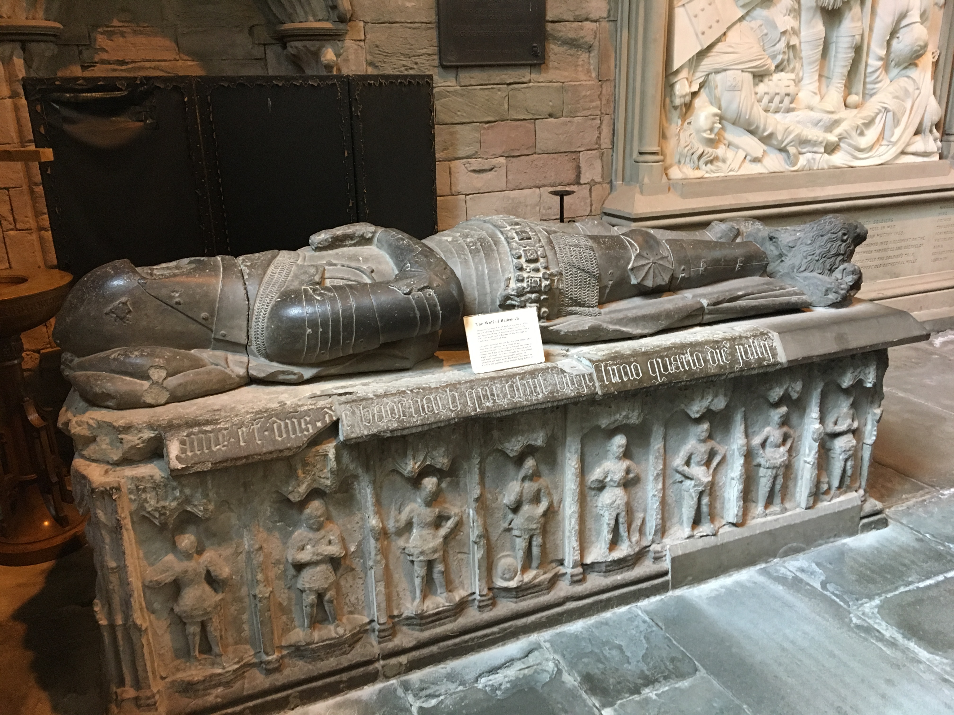
Tomb of the Wolf of Badenoch
The Tomb of the Wolf of Badenoch (or Tomb of Alexander Stewart) consists of a 15th-century tomb effigy and altar (or "chest") tomb, both of which are carved...
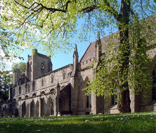
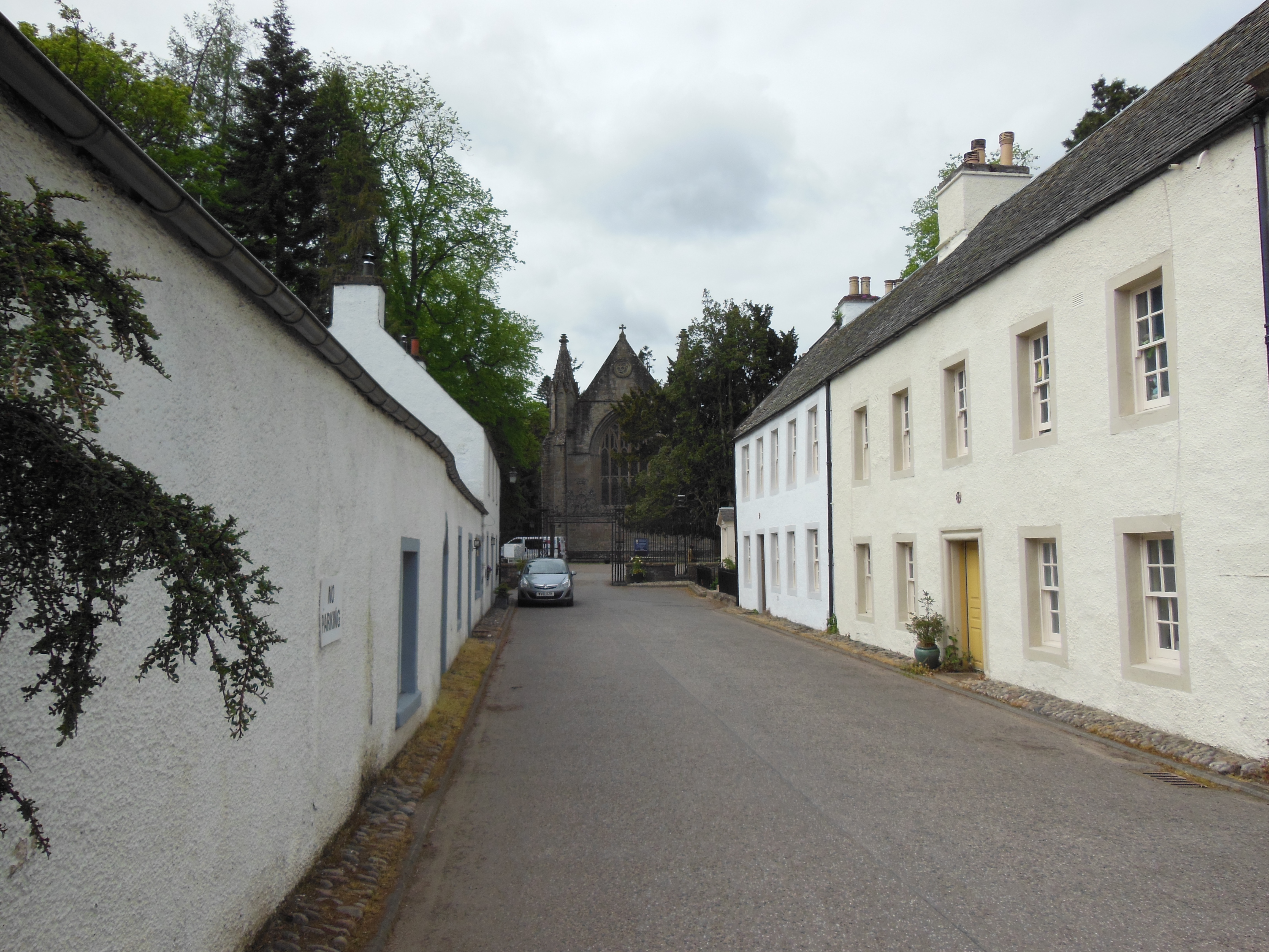
Dunkeld Cathedral
Dunkeld Cathedral is a Church of Scotland place of worship which stands on the north bank of the River Tay in Dunkeld, Perth and Kinross, Scotland. Built...
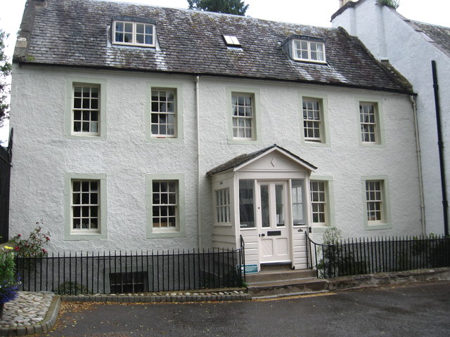
Rectory House
Rectory House, formerly the Dean's House, is a historic building in Dunkeld, Perth and Kinross, Scotland. Standing adjacent to the gates to Dunkeld Cathedral...
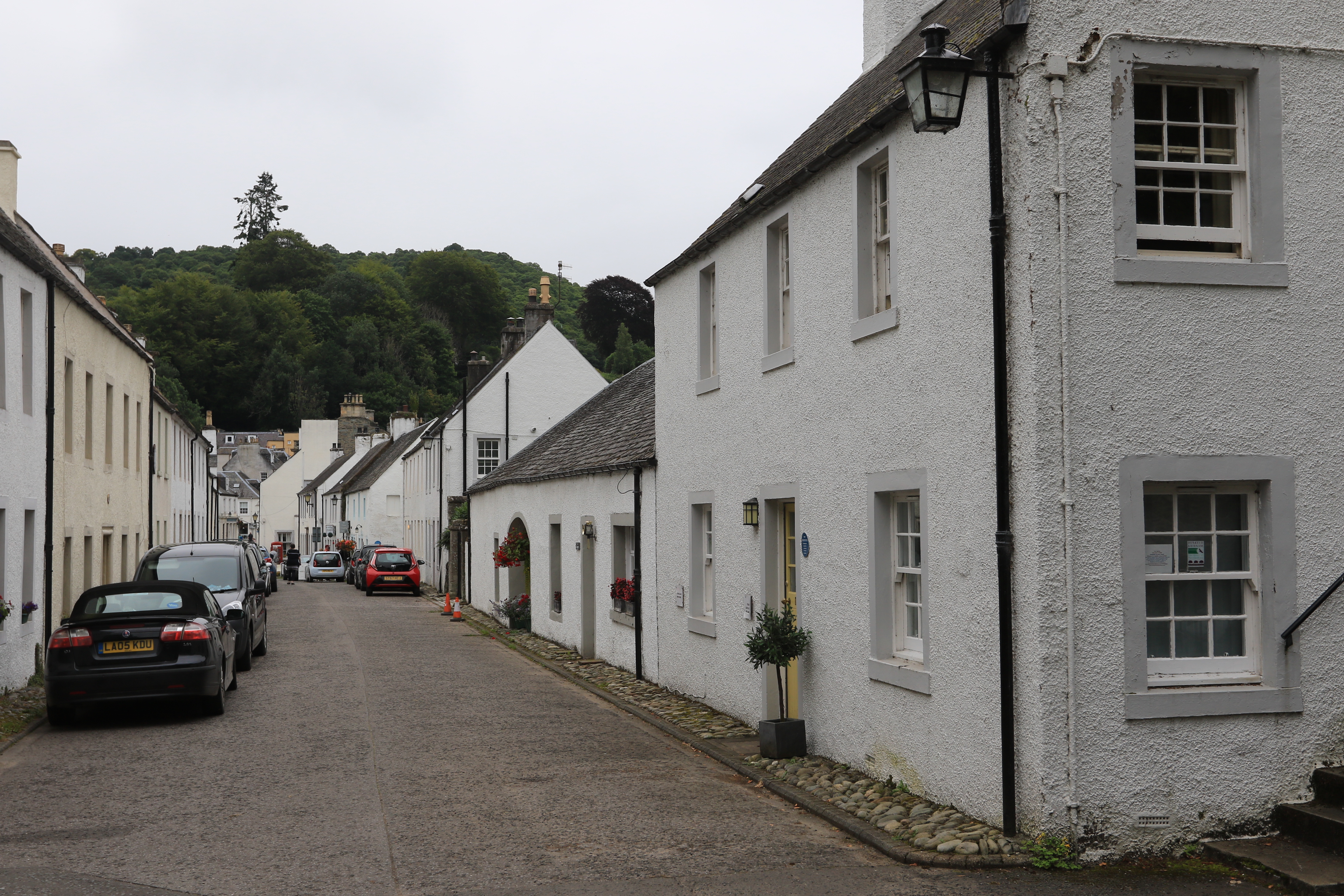
18–20 Cathedral Street, Dunkeld
18–20 Cathedral Street is an historic building in Dunkeld, Perth and Kinross, Scotland. Standing adjacent to the gates to Dunkeld Cathedral at the western...
21–23 Cathedral Street, Dunkeld
21–23 Cathedral Street is an historic building in Dunkeld, Perth and Kinross, Scotland. Standing near the gates to Dunkeld Cathedral at the western end...

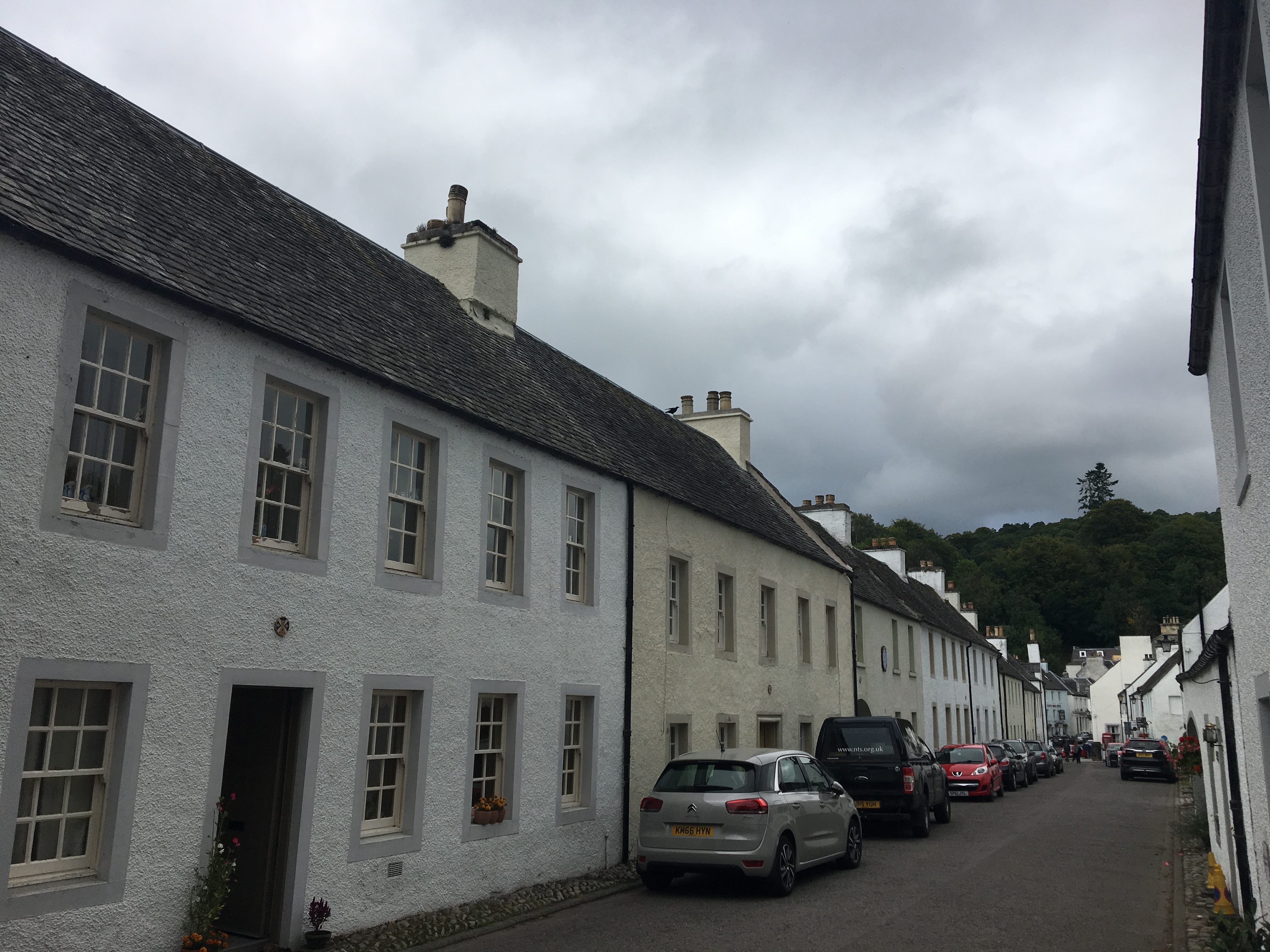
Dunkeld Cathedral Manse
Dunkeld Cathedral Manse is an historic building in Dunkeld, Perth and Kinross, Scotland. Standing near the gates to Dunkeld Cathedral at the western end...
19 Cathedral Street, Dunkeld
19 Cathedral Street is an historic building in Dunkeld, Perth and Kinross, Scotland. Standing near the gates to Dunkeld Cathedral at the western end of...
13–15 Cathedral Street, Dunkeld
13–15 Cathedral Street is an historic building in Dunkeld, Perth and Kinross, Scotland. Standing near the gates to Dunkeld Cathedral at the western end...
Related Videos

A Walk in Perthshire - From Blairgowrie to Dunkeld - Silent Hiking
During a surprisingly warm and sunny week in March I decided to go for a Roaming Wander. Starting in Blairgowrie I set off along ...

Perthshire Walking Route - Dunkeld and the Hermitage Pleasure Grounds
We start this walk in the little village of Dunkeld. Along the way, we will learn about Beatrix Potters association with the town.

Hiking in Dunkeld, Scotland (August 2023)
gopro #hiking #forestwalk #roadtrip #scotland #travel #goodvibes Created with the #GoPro App. All rights reserved.

The Hermitage River Walk, Dunkeld, Scottish Countryside 4K
https://www.buymeacoffee.com/Daveswalks All support is hugely appreciated and it helps me keep the channel going! No talking ...
Nearby Amenities
Located within 500m of 56.564472,-3.5942819Have you been to Bishop's Hill?
Leave your review of Bishop's Hill below (or comments, questions and feedback).