Skiddy Hill

Hill, Mountain in Fife

Scotland

Skiddy Hill

Main Street, Newmills
Main Street, Newmills Credit: David Brown

Skiddy Hill is located in Fife, Scotland, and is a prominent hill that stands at an elevation of approximately 312 meters (1,024 feet). It is situated near the village of Pitlessie, southeast of the town of Cupar. The hill is part of the rolling landscape of the Scottish Lowlands and offers breathtaking panoramic views of the surrounding countryside.

Skiddy Hill is a popular destination for outdoor enthusiasts and hikers due to its relatively accessible terrain and picturesque scenery. The hill is covered in a mix of grassy slopes and patches of heather, providing a diverse habitat for various plant and animal species.

The summit of Skiddy Hill is marked by a trig point, a concrete pillar used in the past for surveying purposes. From this vantage point, visitors can enjoy sweeping views of the Fife countryside, with the Lomond Hills and the River Tay visible in the distance on clear days.

The hill is easily accessible by foot, with several public footpaths leading to its summit. It is advisable for hikers to wear appropriate footwear and carry essential supplies, as the terrain can be uneven and exposed in certain sections.

Skiddy Hill is not only a popular destination for outdoor activities but also holds historical significance. It is believed that the hill's name originates from the medieval Scottish word "skid" meaning a wooded slope. This suggests that the area was once covered in dense woodland, which has since been cleared.

Overall, Skiddy Hill offers a rewarding outdoor experience for those seeking stunning views and a chance to explore the natural beauty of Fife's landscape.

If you have any feedback on the listing, please let us know in the comments section below.
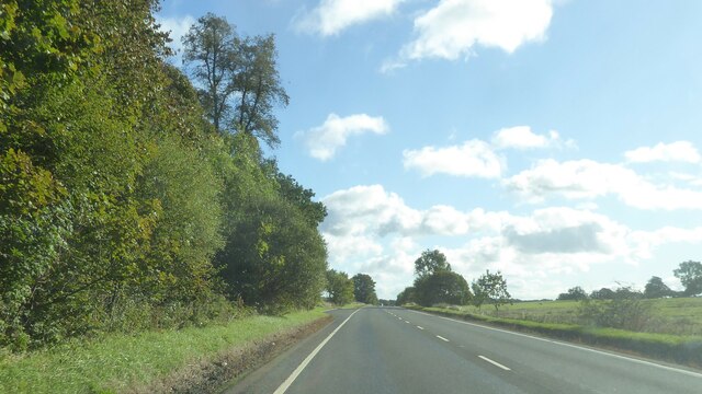
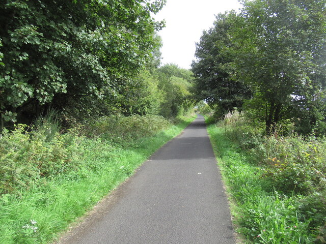
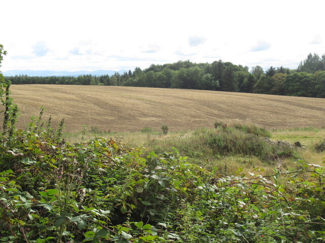
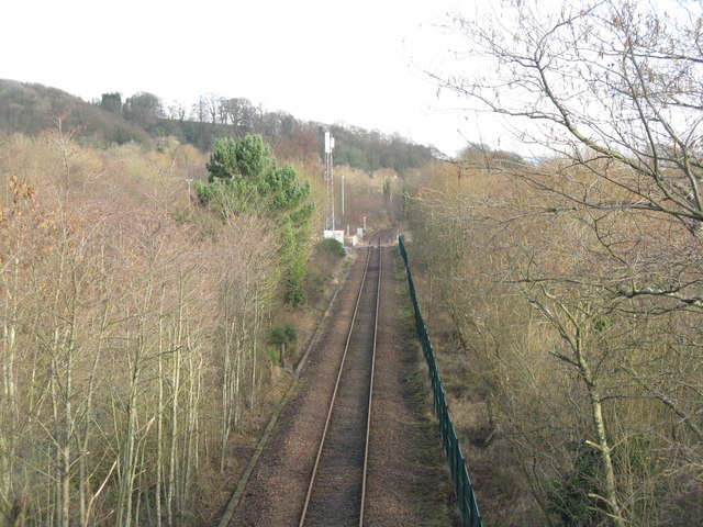
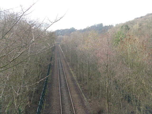
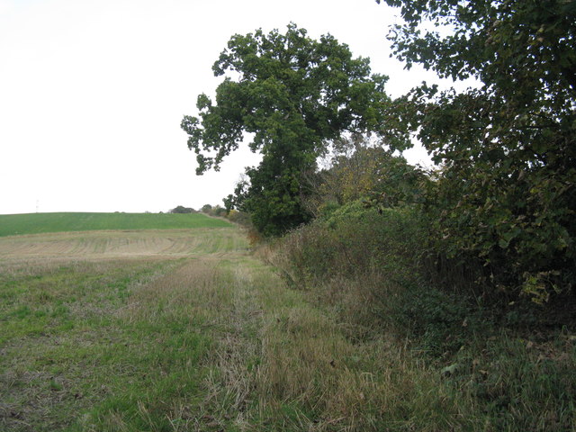
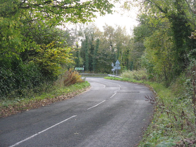
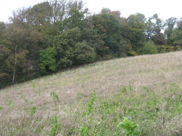
Skiddy Hill Images

Images are sourced within 2km of 56.069715/-3.5798489 or Grid Reference NT0187. Thanks to Geograph Open Source API. All images are credited.

Main Street, Newmills
A985 north of Newmills, Fife
Garden and fields at Inzievar
Flats above a row of shops, Oakley
Path, Comrie The trackbed of the Oakley and Comrie Collieries mineral line. It links with the path along the Dunfermline to Alloa trackbed and paths through woodland.
Path, Comrie
The trackbed of the Oakley and Comrie Collieries mineral line. It links with the path along the Dunfermline to Alloa trackbed and paths through woodland.
Remnant of Oakley Colliery Mapped as a mill. Once there was a large area covered with colliery buildings and railway lines here.
Remnant of Oakley Colliery
Mapped as a mill. Once there was a large area covered with colliery buildings and railway lines here.
Stirling and Dunfermline Railway trackbed Now a popular rails to trails conversion and very useful cyclepath.
Stirling and Dunfermline Railway trackbed
Now a popular rails to trails conversion and very useful cyclepath.
Stubble near Oakley
Stubble near Oakley
Railway at Low Valleyfield Looking east along the line that serves Longannet Power Station. For an autumn view from the same spot 6 years earlier see Richard Webb's <a href="https://www.geograph.org.uk/photo/1881034">NT0086 : Railway, Low Valleyfield</a>.
Railway at Low Valleyfield
Looking east along the line that serves Longannet Power Station. For an autumn view from the same spot 6 years earlier see Richard Webb's NT0086 : Railway, Low Valleyfield.
The railway to Longannet Looking west from the footbridge leading to the Torry Bay Nature Reserve - the path around the ash lagoons.
The railway to Longannet
Looking west from the footbridge leading to the Torry Bay Nature Reserve - the path around the ash lagoons.
Footpath and NCN sign at Valleyfield The Fife Coastal Path and NCN76 pass this way; Preston Island Circular goes round the perimeter [mostly] of the ash lagoons and Torry Bay Nature Reserve.
Footpath and NCN sign at Valleyfield
The Fife Coastal Path and NCN76 pass this way; Preston Island Circular goes round the perimeter [mostly] of the ash lagoons and Torry Bay Nature Reserve.
Torry Bay The marine part of the nature reserve. The fence is part of the ash lagoon boundary.
Torry Bay
The marine part of the nature reserve. The fence is part of the ash lagoon boundary.
Torry Pier The name on the map for the emergent rocks in Torry Bay, but I do not know if it has ever been part of such a structure.
Torry Pier
The name on the map for the emergent rocks in Torry Bay, but I do not know if it has ever been part of such a structure.
Tuilyies Standing Stones The name "Tuilyies" is a corruption of the Scottish word "tulzie" signifying a fight. The stones are said to mark the graves of chieftains who died here in an alleged battle.
Tuilyies Standing Stones
The name "Tuilyies" is a corruption of the Scottish word "tulzie" signifying a fight. The stones are said to mark the graves of chieftains who died here in an alleged battle.
Field margin near Valleyfield Hedge separating stubble and grass from the road up Clinkum Bank.
Field margin near Valleyfield
Hedge separating stubble and grass from the road up Clinkum Bank.
Road junction near Valleyfield The road from Oakley joins the A985.
Road junction near Valleyfield
The road from Oakley joins the A985.
Drum Plantation Field margin and woodland on the side of Shaw Hill.
Drum Plantation
Field margin and woodland on the side of Shaw Hill.
Foreshore at Torryburn Looking south from the Shore Road.
Foreshore at Torryburn
Looking south from the Shore Road.
Show me another place!

Skiddy Hill is located at Grid Ref: NT0187 (Lat: 56.069715, Lng: -3.5798489)

Unitary Authority: Fife

Police Authority: Fife

What 3 Words

///sidelined.cheer.struggle. Near High Valleyfield, Fife

Related Wikis

Oakley, Fife

Oakley is a village in Fife, Scotland located at the mutual border of Carnock and Culross parishes, Fife, 5+1⁄2 miles (9 kilometres) west of Dunfermline...

Torryburn railway station

Torryburn railway station served the village of Torryburn, Fife, Scotland from 1906 to 1930 on the Kincardine Line. == History == The station was opened...

Oakley (Fife) railway station

Oakley (Fife) railway station served the village of Oakley, Fife, Scotland from 1850 to 1986 on the Stirling and Dunfermline Railway. == History == The...

Comrie, Fife

Comrie ( locally or ); is a village in Fife, Scotland, located immediately west of the neighbouring village of Oakley, 6.2 miles (9.98 km) west of Dunfermline...

Nearby Amenities

Located within 500m of 56.069715,-3.5798489
Power: pole
Lat/Long: 56.0705623/-3.5731021
Power: pole
Lat/Long: 56.0704575/-3.5742715
Power: pole
Lat/Long: 56.0705309/-3.5759935
Power: pole
Lat/Long: 56.0706132/-3.5777101
Power: pole
Lat/Long: 56.0706626/-3.5795152
Power: pole
Lat/Long: 56.0702958/-3.5806578
Power: pole
Lat/Long: 56.0697554/-3.5822457
Power: pole
Lat/Long: 56.0699186/-3.5834715
Power: pole
Lat/Long: 56.0700713/-3.584826
Power: pole
Lat/Long: 56.0702285/-3.5861591
Power: pole
Lat/Long: 56.0703961/-3.5874546
Power: pole
Lat/Long: 56.073405/-3.5832144
Power: pole
Lat/Long: 56.0726345/-3.583399
Power: pole
Lat/Long: 56.0729241/-3.576896
The data included in this document is from www.openstreetmap.org. The data is made available under ODbL.

Have you been to Skiddy Hill?

Leave your review of Skiddy Hill below (or comments, questions and feedback).