Blaranrash Hill

Hill, Mountain in Perthshire

Scotland

Blaranrash Hill

Farmland at Wester Achnaguie Pasture in the foreground and stubble brassicas beyond. Looking east from the track to Drummin.
Farmland at Wester Achnaguie Credit: M J Richardson

Blaranrash Hill is a prominent geographic feature located in the scenic region of Perthshire, Scotland. Rising to an elevation of approximately 700 meters (2,297 feet), it is classified as a hill rather than a mountain due to its height. It is situated within the vast expanse of the Cairngorms National Park, renowned for its breathtaking landscapes and diverse wildlife.

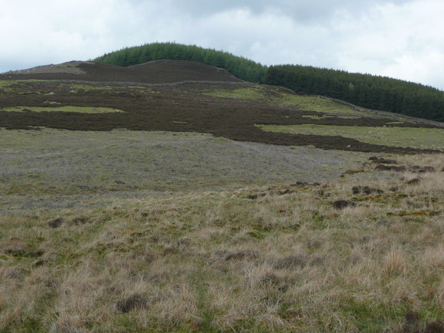
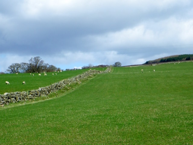
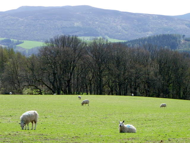
Blaranrash Hill offers stunning panoramic views of the surrounding countryside, including the nearby Loch Tummel and the picturesque village of Pitlochry. The hill is characterized by its rolling terrain, covered in heather, grasses, and scattered boulders. It attracts hikers, nature enthusiasts, and photographers seeking to capture the beauty of the Scottish Highlands.

The ascent of Blaranrash Hill can be challenging but rewarding, with a network of well-marked trails leading to the summit. The main trail starts from a car park near the village of Tummel Bridge, providing easy access for visitors. Along the way, hikers may encounter various wildlife species, such as red deer, golden eagles, and ptarmigans.

Blaranrash Hill offers a peaceful and tranquil environment, making it an ideal destination for those seeking solitude and a break from the hustle and bustle of city life. It is also a popular spot for picnicking and enjoying the stunning sunsets over the Cairngorms.

In summary, Blaranrash Hill is a captivating landmark within the picturesque region of Perthshire, Scotland. With its scenic views, diverse flora and fauna, and challenging yet rewarding trails, it offers an unforgettable experience for outdoor enthusiasts and nature lovers alike.

If you have any feedback on the listing, please let us know in the comments section below.

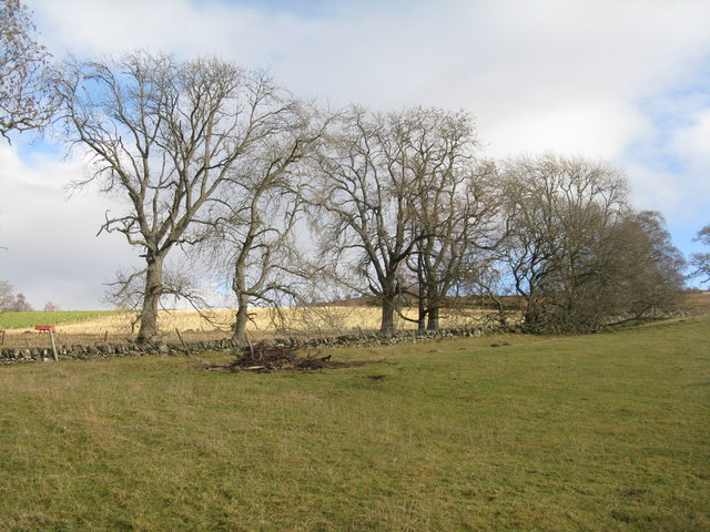
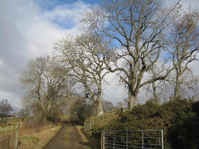
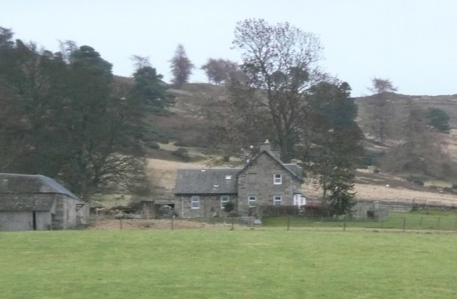
Blaranrash Hill Images

Images are sourced within 2km of 56.671538/-3.639325 or Grid Reference NN9954. Thanks to Geograph Open Source API. All images are credited.

Farmland at Wester Achnaguie Pasture in the foreground and stubble brassicas beyond. Looking east from the track to Drummin.
Farmland at Wester Achnaguie
Pasture in the foreground and stubble brassicas beyond. Looking east from the track to Drummin.
Farm track to Balnafuaran and Drummin Lined with Ash trees.
Farm track to Balnafuaran and Drummin
Lined with Ash trees.
Track to Loch Broom crosses small burn Here the track goes onto the heathery moor.
Track to Loch Broom crosses small burn
Here the track goes onto the heathery moor.
Tullimet Wood from Loch Broom track The dry stone walls define the wood edge from the patch burned heathery hill.
Tullimet Wood from Loch Broom track
The dry stone walls define the wood edge from the patch burned heathery hill.
Tulliemet Burn The ugly blue box is probably a shepherd's shelter.  The bridge on the right carries the track to Loch Oisinneach Mor.
Tulliemet Burn
The ugly blue box is probably a shepherd's shelter. The bridge on the right carries the track to Loch Oisinneach Mor.
Achnahosher across the Tulliemet Burn A desolate and deserted place.  Even here there are dry stone walls marking boundaries or trying to keep stock contained.  What a work!
Achnahosher across the Tulliemet Burn
A desolate and deserted place. Even here there are dry stone walls marking boundaries or trying to keep stock contained. What a work!
Track to Loch Broom The track passes through a gate in a fine dry stone wall.
Track to Loch Broom
The track passes through a gate in a fine dry stone wall.
Drummin In the trees below Creagan Ruathair, with open views over the Tay valley.
Drummin
In the trees below Creagan Ruathair, with open views over the Tay valley.
Balnafuaran The farm peeks over the field of sheep grazing in the December gloom.
Balnafuaran
The farm peeks over the field of sheep grazing in the December gloom.
Lochbroom Burn, Milton of Pitgur The burn races rushes downhill towards the A9 and then on towards the River Tummel.
Lochbroom Burn, Milton of Pitgur
The burn races rushes downhill towards the A9 and then on towards the River Tummel.
Lochbroom Burn, Milton of Pitgur The burn races and rushes downhill towards the A9 and then on towards the River Tummel.  Looking upstream.
Lochbroom Burn, Milton of Pitgur
The burn races and rushes downhill towards the A9 and then on towards the River Tummel. Looking upstream.
Gate, Milton of Pitgur The gate leads into a very small copse which is beside the Lochbroom Burn.
Gate, Milton of Pitgur
The gate leads into a very small copse which is beside the Lochbroom Burn.
Drystone wall, Mains of Dalcapon Sheep graze contentedly in the lush fields that are both sides of the drystone wall.
Drystone wall, Mains of Dalcapon
Sheep graze contentedly in the lush fields that are both sides of the drystone wall.
Sheep near Blairchroisk Sheep grazing in the fields between the minor road and the A9.
Sheep near Blairchroisk
Sheep grazing in the fields between the minor road and the A9.
Disc-harrow near Ballinluig The disc-harrow is at the fields edge while sheep graze around it.
Disc-harrow near Ballinluig
The disc-harrow is at the fields edge while sheep graze around it.
Sheep near Ballinluig Sleep graze in the many small fields beside the Tay valley.
Sheep near Ballinluig
Sleep graze in the many small fields beside the Tay valley.
Lone tree near Tulliemet A lone tree grows in an area of rough damp grassland.
Lone tree near Tulliemet
A lone tree grows in an area of rough damp grassland.
Butterbur (Petasites hybridus) The male flower which is shown here is the more common and the flower heads can grow to a height of 40cm. The plant grows in wet places and it is here growing beside the Pantaskel Burn.
Butterbur (Petasites hybridus)
The male flower which is shown here is the more common and the flower heads can grow to a height of 40cm. The plant grows in wet places and it is here growing beside the Pantaskel Burn.
Show me another place!

Blaranrash Hill is located at Grid Ref: NN9954 (Lat: 56.671538, Lng: -3.639325)

Unitary Authority: Perth and Kinross

Police Authority: Tayside

What 3 Words

///refilled.full.spurned. Near Pitlochry, Perth & Kinross

Related Wikis

Ballinluig

Ballinluig (Gaelic: Baile an Luig) is a village in Perth and Kinross, Scotland. It lies on the banks of the River Tummel in Logierait Parish, and is approximately...

Ballinluig railway station

Ballinluig railway station served the village of Ballinluig, Perth and Kinross, Scotland from 1863 to 1965 on the Inverness and Perth Junction Railway...

Logierait

Logierait (Scottish Gaelic: Lag an Ratha - 'Hollow of the [Earth-Walled] Fort/Enclosure') is a village and parish in Atholl, Scotland. It is situated...

Loch Broom (Perth and Kinross)

Loch Broom is a freshwater trout loch, located in the hills 3 miles (5 kilometres) east of Pitlochry, within Perth and Kinross, Scotland. == References ==

River Tummel

The River Tummel (Scottish Gaelic: Uisge Theimheil) is a river in Perth and Kinross, Scotland. Water from the Tummel is used in the Tummel hydro-electric...
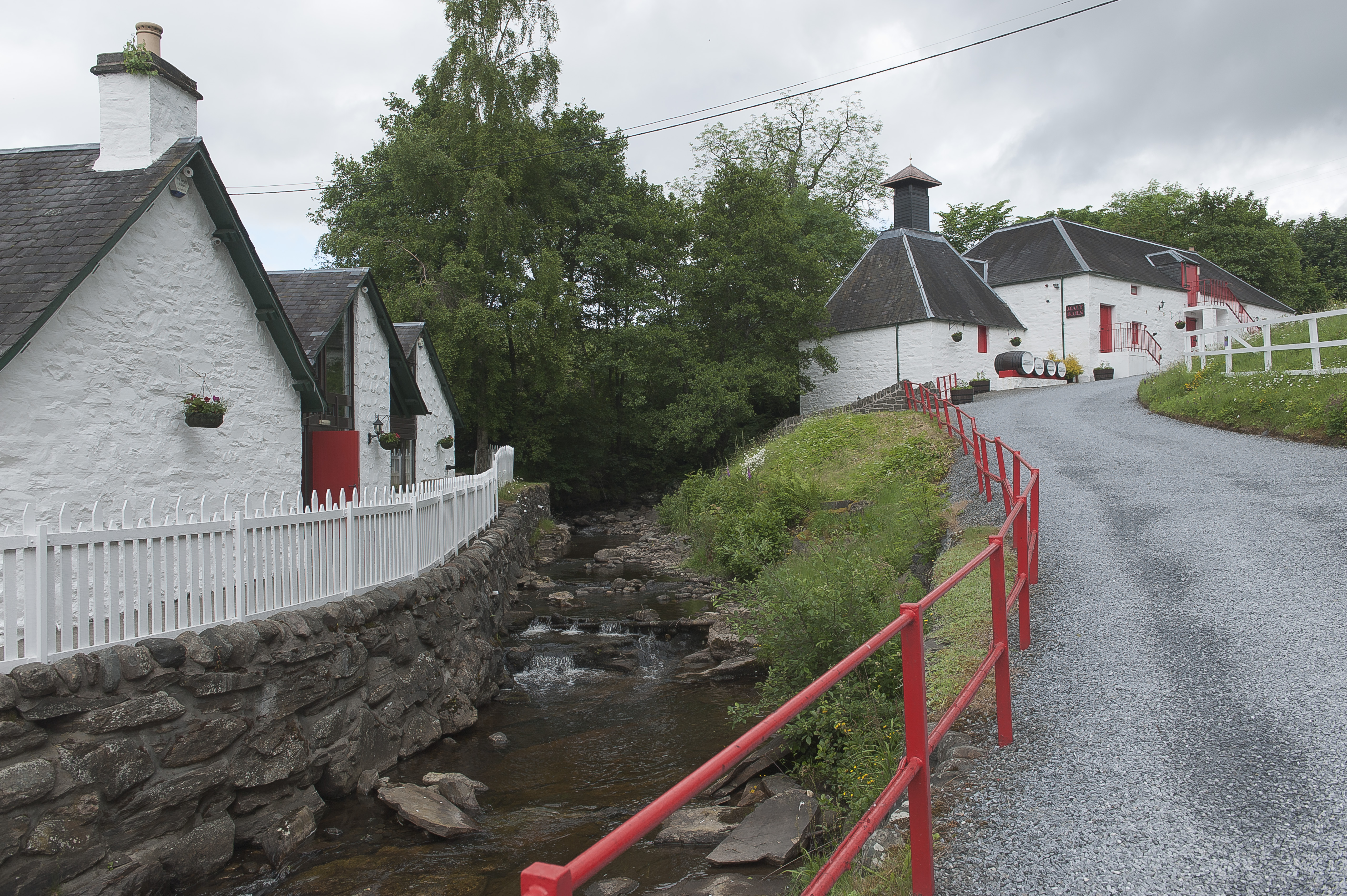
Edradour distillery

Edradour distillery (Scottish Gaelic: Eadar DhĂ  Dhobhar, "between two rivers") is a Highland single malt whisky distillery based in Pitlochry, Perthshire...

Guay railway station

Guay railway station, Dunkeld, Perth and Kinross, Scotland, was located near the hamlet of Guay next to the A9 road and close to the River Tay. The station...

Balnaguard Halt railway station

Balnaguard Halt railway station served the hamlet of Balnaguard, Perth and Kinross, Scotland from 1935 to 1965 on the Inverness and Perth Junction Railway...

Nearby Amenities

Located within 500m of 56.671538,-3.639325
Power: pole
Lat/Long: 56.668738/-3.6450996
Power: pole
Lat/Long: 56.6683351/-3.6443159
Power: pole
Lat/Long: 56.6680054/-3.6437051
Power: pole
Lat/Long: 56.6677292/-3.6428241
Power: pole
Lat/Long: 56.6674391/-3.6418061
The data included in this document is from www.openstreetmap.org. The data is made available under ODbL.

Have you been to Blaranrash Hill?

Leave your review of Blaranrash Hill below (or comments, questions and feedback).