Horbling

Settlement in Lincolnshire South Kesteven

England

Horbling

Billingborough St. Andrews Church
Billingborough St. Andrews Church Credit: JOHN BLAKESTON

Horbling is a small village located in the South Kesteven district of Lincolnshire, England. Situated approximately 12 miles east of Grantham and 10 miles west of Boston, it lies in the heart of the picturesque Lincolnshire Fens. The village is surrounded by flat, agricultural land, characterized by expansive fields and drainage ditches.

With a population of around 700 residents, Horbling maintains a tight-knit community atmosphere. The village is home to a range of amenities, including a primary school, a parish church dedicated to St. Andrew, and a local pub. The pub, known as The Bell, is a popular gathering spot for locals and visitors alike.

Historically, Horbling can trace its roots back to the Roman era, with evidence of Roman pottery and buildings discovered in the area. The village also played a role in the medieval period, with the construction of St. Andrew's Church dating back to the 12th century.

Today, Horbling offers a peaceful and tranquil setting for residents and visitors to enjoy. The surrounding countryside provides ample opportunities for outdoor pursuits, such as walking, cycling, and bird-watching. Additionally, the village's proximity to larger towns and cities ensures convenient access to a wider range of amenities and services.

If you have any feedback on the listing, please let us know in the comments section below.
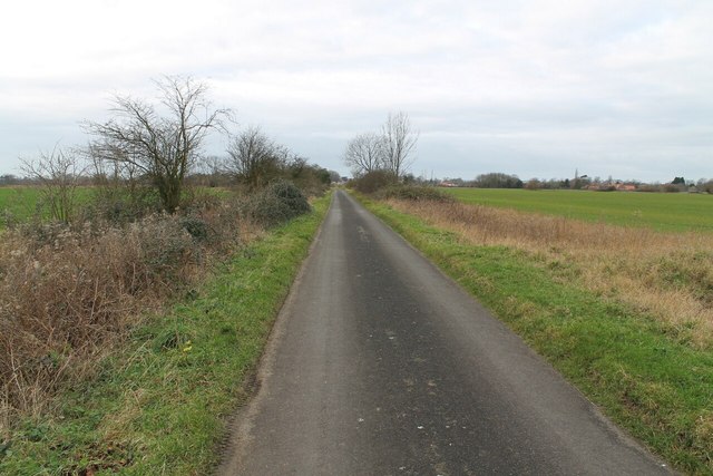
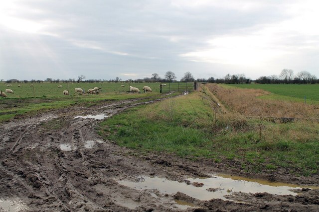
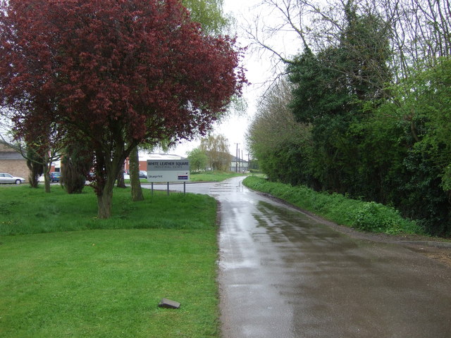
Horbling Images

Images are sourced within 2km of 52.902196/-0.338979 or Grid Reference TF1135. Thanks to Geograph Open Source API. All images are credited.

Billingborough St. Andrews Church
Billingborough St. Andrews Church Entrance gate
Billingborough St. Andrews Church
Entrance gate
Church Farm Leading down to Billingborough Church
Church Farm
Leading down to Billingborough Church
Horbling St. Andrews Church
Track off Stow Lane
Track off Stow Lane
Track to Sewage Works at Horbling
Sandygate Lane towards Horbling
Mud and Sheep I wouldn't fancy walking along this footpath along Car Dyke!
Mud and Sheep
I wouldn't fancy walking along this footpath along Car Dyke!
Give Way! Junction onto the A52 Holland road
Give Way!
Junction onto the A52 Holland road
A Private Track off Birthorpe Road, Birthorpe
Birthorpe road towards Billingborough
Public footpath and Track off Cow Gate
Farmland south of Billingborough
B1177 heading north towards Billingborough
Grosvenor Road, Billingborough
Trees on industrial estate, Billingborough
Road to nowhere yet, industrial estate, Billingborough
Show me another place!

Horbling is located at Grid Ref: TF1135 (Lat: 52.902196, Lng: -0.338979)

Division: Parts of Kesteven

Administrative County: Lincolnshire

District: South Kesteven

Police Authority: Lincolnshire

What 3 Words

///strong.archduke.rebounder. Near Billingborough, Lincolnshire

Nearby Locations

Horbling

Related Wikis

Horbling

Horbling is a village and civil parish in the South Kesteven district of Lincolnshire, England. It lies on the B1177, 7 miles (11 km) south-east of Sleaford...

Billingborough and Horbling railway station

Billingborough and Horbling railway station was a station serving the villages of Billingborough, Horbling and Threekingham, Lincolnshire on the Great...

St Andrew's Church, Billingborough

St Andrew's Church is a Grade I listed Anglican parish church dedicated to Andrew the Apostle, in Billingborough, Lincolnshire, England. The church is...

Billingborough

Billingborough is a village and civil parish in the South Kesteven district of Lincolnshire, England. It is situated approximately 10 miles (16 km) north...

Nearby Amenities

Located within 500m of 52.902196,-0.338979
Horbling
Is In: Lincolnshire, England, UK
Place: village
Lat/Long: 52.9038266/-0.3375522
Bus Stop
St Andrew's Church
Naptan AtcoCode: 270000008748
Naptan Bearing: SW
Naptan CommonName: St Andrew's Church
Naptan Indicator: adj
Naptan Landmark: St Andrew's Church
Naptan NaptanCode: lingtwga
Naptan Street: High Street
Naptan Verified: no
Source: naptan_import
Lat/Long: 52.9025387/-0.3385549
Bus Stop
St Andrew's Church
Naptan AtcoCode: 2700LH000163
Naptan Bearing: NE
Naptan CommonName: St Andrew's Church
Naptan Indicator: opp
Naptan Landmark: St Andrew's Church
Naptan NaptanCode: linadgmg
Naptan Street: High Street
Naptan Verified: no
Source: naptan_import
Lat/Long: 52.9025945/-0.3386866
Old Post Office Farm
Place: farm
Source: Bing
Lat/Long: 52.9024094/-0.3398001
Paddocks Estate
Place: neighbourhood
Source: Bing
Lat/Long: 52.9015165/-0.3404791
Generator Method: photovoltaic
Generator Output Electricity: yes
Generator Source: solar
Generator Type: solar_photovoltaic_panel
Location: roof
Power: generator
Lat/Long: 52.9020926/-0.3399734
Pub
The Plough Inn
Addr City: Horbling
Addr Housenumber: 4
Addr Postcode: NG34 0PF
Addr Street: Spring Lane
Fhrs Authority: South Kesteven
Fhrs Id: 324489
Fhrs Local Authority Id: 4812
Lat/Long: 52.9024344/-0.3394282
The data included in this document is from www.openstreetmap.org. The data is made available under ODbL.

Have you been to Horbling?

Leave your review of Horbling below (or comments, questions and feedback).