Black Hill
Hill, Mountain in Somerset Somerset West and Taunton
England
Black Hill
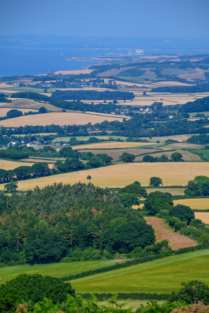
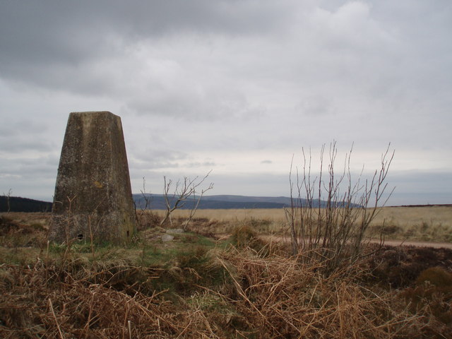
Black Hill is a prominent hill located in the county of Somerset, England. It is situated approximately 2 miles southwest of the town of Shepton Mallet, within the Mendip Hills Area of Outstanding Natural Beauty. With an elevation of 325 meters (1,066 feet), it is considered one of the highest points in the region.
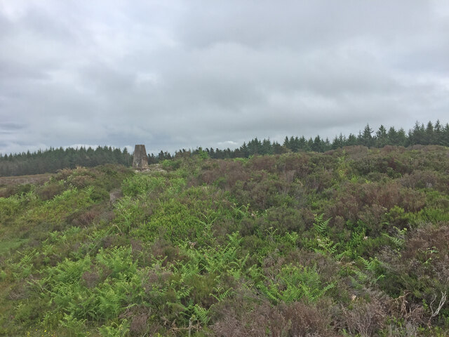
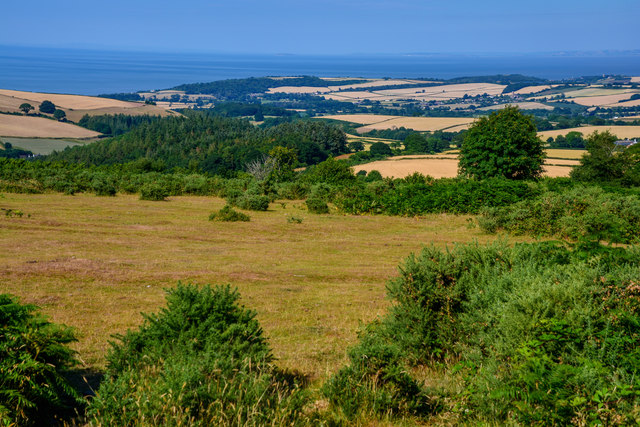
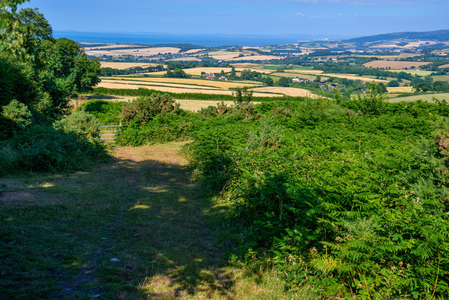
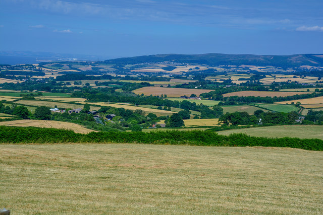
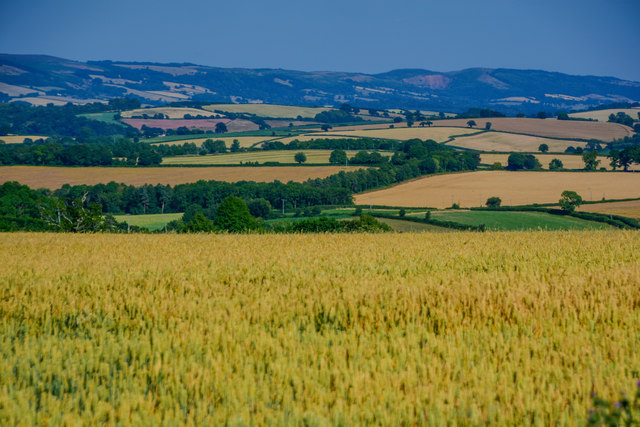
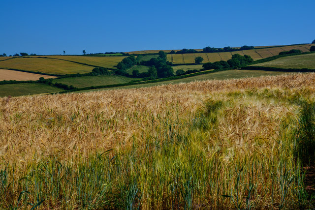
The hill is characterized by its distinctive black appearance, which is a result of the underlying geology consisting of carboniferous limestone. This geological feature not only gives the hill its name but also contributes to its unique landscape. The summit of Black Hill offers breathtaking panoramic views of the surrounding countryside, including the Somerset Levels to the northwest and the Mendip Plateau to the east.
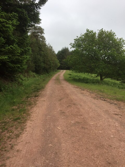
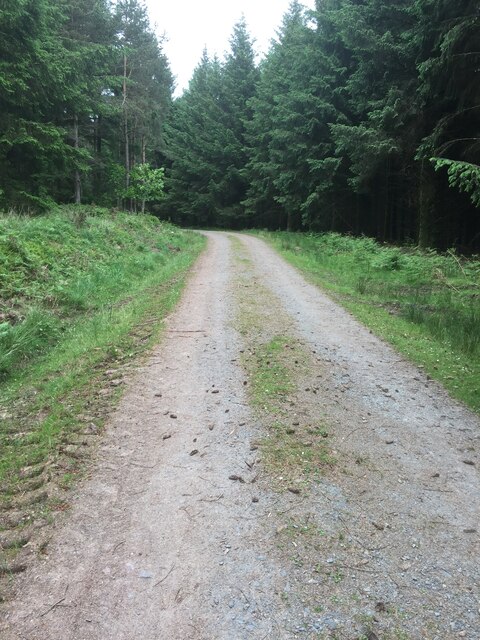
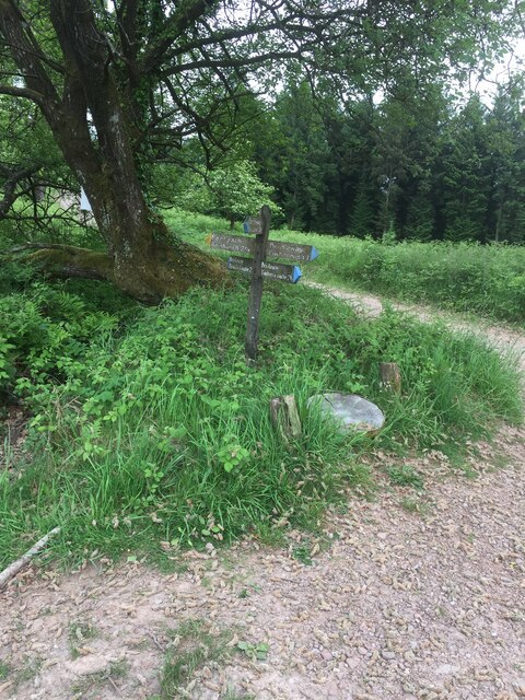
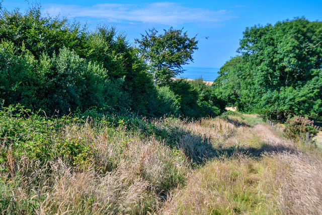
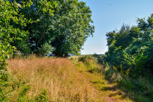
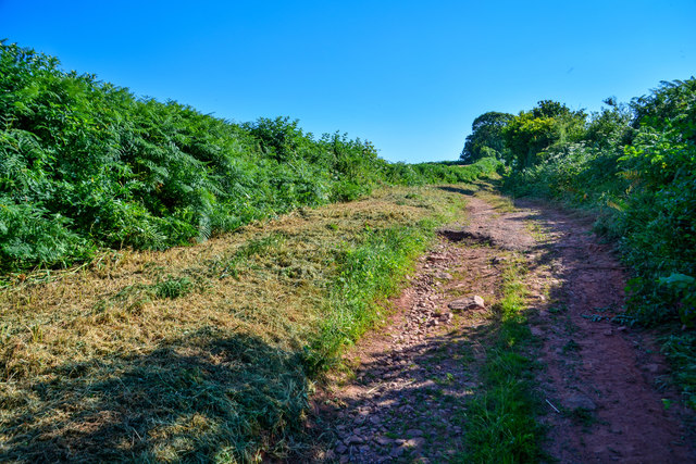
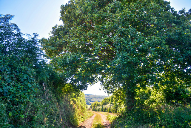
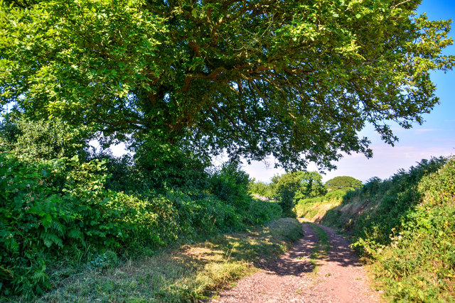
Black Hill is a popular destination for outdoor enthusiasts, attracting hikers, walkers, and nature lovers. Several footpaths and bridleways traverse the hill, allowing visitors to explore its diverse flora and fauna. The hill is home to a variety of plant species, including heather, bracken, and gorse, which provide habitats for wildlife such as rabbits, foxes, and numerous bird species.
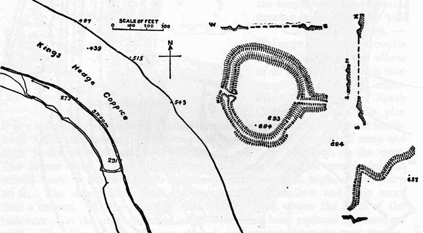
Aside from its natural beauty, Black Hill also holds historical significance. The hill was once the site of an Iron Age fort, evidenced by the remains of earthworks and defensive ditches that can still be seen today. These archaeological features, along with the hill's strategic location, suggest it played a vital role in the ancient landscape.
Overall, Black Hill in Somerset is a captivating natural landmark, offering both stunning vistas and a glimpse into the region's rich history.
If you have any feedback on the listing, please let us know in the comments section below.
Black Hill Images
Images are sourced within 2km of 51.151432/-3.4490485 or Grid Reference SS9840. Thanks to Geograph Open Source API. All images are credited.


Black Hill is located at Grid Ref: SS9840 (Lat: 51.151432, Lng: -3.4490485)
Administrative County: Somerset
District: Somerset West and Taunton
Police Authority: Avon and Somerset
What 3 Words
///galaxies.heartened.loitering. Near Minehead, Somerset
Nearby Locations
Related Wikis

Rodhuish Common
Rodhuish Common is a univallate Iron Age hill fort in the West Somerset district of Somerset, England. There is a small oval enclosure which is thought...
Bat's Castle
Bats Castle is an Iron Age hillfort at the top of a 213 metres (699 ft) high hill in the parish of Carhampton south south west of Dunster in Somerset,...

Long Wood Enclosure
Long Wood Enclosure is an enclosure which may have been a univallate Iron Age hill fort, in the West Somerset district of Somerset, England. The hill fort...

Luxborough
Luxborough is a small village and civil parish located some 6 miles (9.7 km) south of Dunster, lying amongst the Brendon Hills and the Exmoor National...

St Mary's Church, Luxborough
The Anglican St Mary's Church at Luxborough within the English county of Somerset dates from the 13th century. It is a Grade II listed building.The chancel...

Church of St Bartholomew, Rodhuish
The Anglican Church of St Bartholomew in Rodhuish, Somerset, England was built in the 15th century. It is a Grade II* listed building. == History == The...

Black Ball Camp
Black Ball Camp is an Iron Age hillfort South West of Dunster, Somerset, England on the northern summit of Gallox Hill. It is a Scheduled Monument.It is...

Carhampton
Carhampton is a village and civil parish in Somerset, England, 4 miles (6.4 km) to the east of Minehead. Carhampton civil parish stretches from the Bristol...
Nearby Amenities
Located within 500m of 51.151432,-3.4490485Have you been to Black Hill?
Leave your review of Black Hill below (or comments, questions and feedback).