Mynydd Garth-pwt

Hill, Mountain in Montgomeryshire

Wales

Mynydd Garth-pwt

Paddock in Clatter The grey pony was enjoying a luxurious rub / scratch!
Paddock in Clatter Credit: Jeremy Bolwell

Mynydd Garth-pwt, located in Montgomeryshire, is a prominent hill/mountain in Wales. It stands at an elevation of approximately 483 meters (1585 feet) and is situated near the town of Llanfyllin. The name "Mynydd Garth-pwt" translates to "hill of the little fortress" in English.

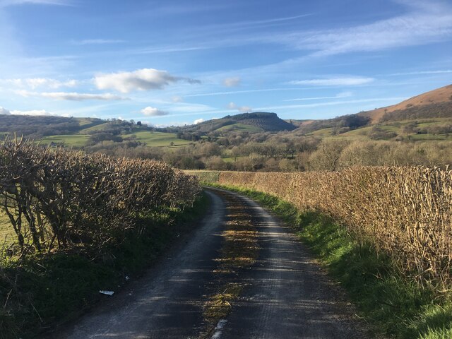
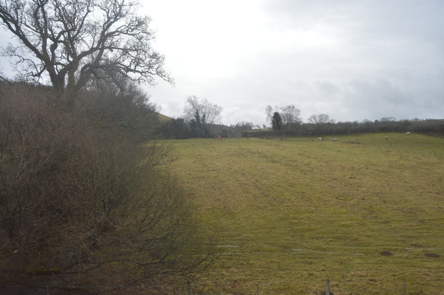
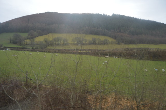
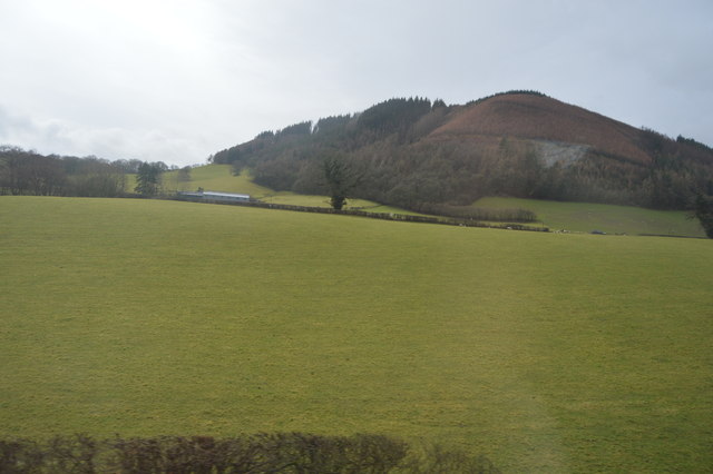
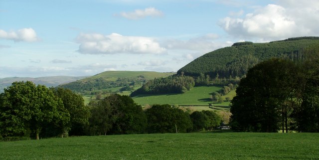
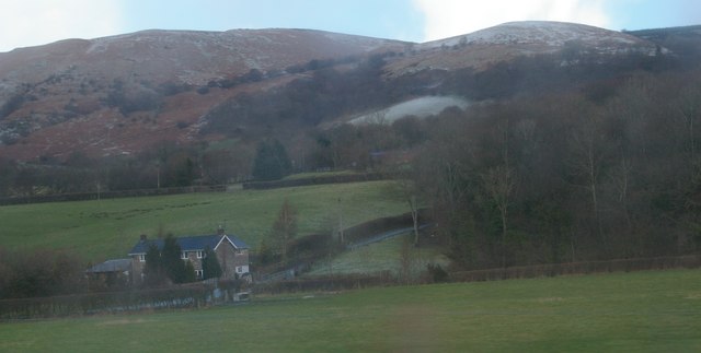
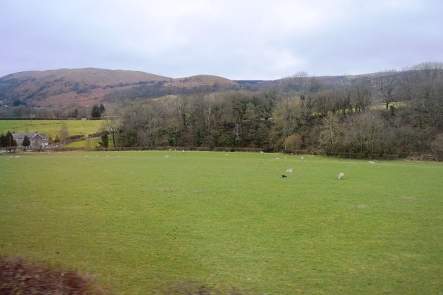
This natural landmark is characterized by its rugged terrain, with steep slopes and rocky outcrops. The hill/mountain is predominantly covered in grass, heather, and scattered shrubs, creating a picturesque landscape. The area is also home to a variety of wildlife, including birds, small mammals, and insects.

Mynydd Garth-pwt offers breathtaking panoramic views of the surrounding countryside, including the nearby valleys and hills. On clear days, it is even possible to catch a glimpse of the Snowdonia mountain range in the distance. Due to its elevation and exposed location, the hill/mountain is known for its strong winds, making it a popular spot for paragliding and other outdoor activities.

Hikers and nature enthusiasts are drawn to Mynydd Garth-pwt for its network of walking trails and footpaths, allowing visitors to explore its diverse landscape. The hill/mountain is easily accessible, with a car park located nearby, providing a convenient starting point for those looking to embark on an adventure.

Overall, Mynydd Garth-pwt is a captivating natural landmark in Montgomeryshire, offering stunning views, diverse wildlife, and a range of outdoor activities for visitors to enjoy.

If you have any feedback on the listing, please let us know in the comments section below.

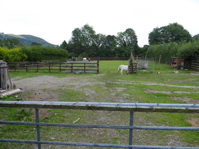
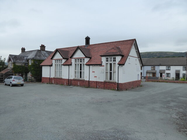
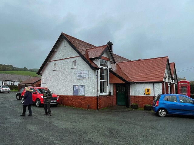
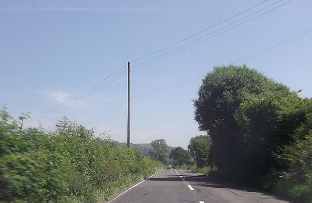
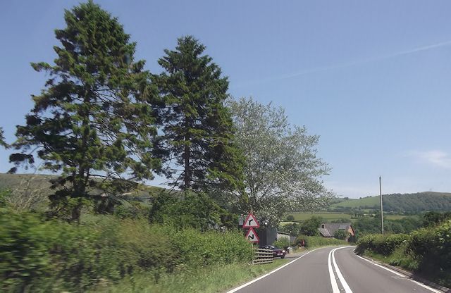
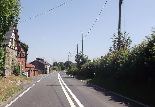
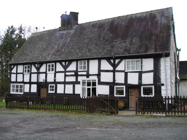
Mynydd Garth-pwt Images

Images are sourced within 2km of 52.535757/-3.5028616 or Grid Reference SN9894. Thanks to Geograph Open Source API. All images are credited.

Paddock in Clatter The grey pony was enjoying a luxurious rub / scratch!
Paddock in Clatter
The grey pony was enjoying a luxurious rub / scratch!
Clatter Village Hall Looking a little tired? 

I was surprised, and disappointed, to see that notices have been put up to prevent visitors car parking in the large, and empty, car park here, unless they get permission from the Committee prior to their arrival! 

Surely a rare set of requirements for benefitting from an essentially simple matter. So I parked on the street nearby, easily and simply.

I would have thought the Village Hall Committee might want to encourage visitors such as walkers...?
Clatter Village Hall
Looking a little tired? I was surprised, and disappointed, to see that notices have been put up to prevent visitors car parking in the large, and empty, car park here, unless they get permission from the Committee prior to their arrival! Surely a rare set of requirements for benefitting from an essentially simple matter. So I parked on the street nearby, easily and simply. I would have thought the Village Hall Committee might want to encourage visitors such as walkers...?
Minor road near Clatter
Clatter Community Centre
Hillside, Afon Carno Valley
Oerffrwd
Oerffrwd
House at Oerffrwd Crossing
View to Allt Y Genlli
Old Milestone by the A470, east of Carno Milestone by the A470, in parish of Carno (Powys District), North of Ty-Coch, Frankwell, on verge.

Inscription once read:-
(NEWT)
(10)
(MACH)
(18)

Grade II listed by Cadw.
Reference Number 17578: <span class="nowrap"><a title="https://cadwpublic-api.azurewebsites.net/reports/listedbuilding/FullReport?lang=&id=17578" rel="nofollow ugc noopener" href="https://cadwpublic-api.azurewebsites.net/reports/listedbuilding/FullReport?lang=&id=17578">Link</a><img style="margin-left:2px;" alt="External link" title="External link - shift click to open in new window" src="https://s1.geograph.org.uk/img/external.png" width="10" height="10"/></span>

Surveyed

Milestone Society National ID: MOT_NTMC10
Old Milestone by the A470, east of Carno
Milestone by the A470, in parish of Carno (Powys District), North of Ty-Coch, Frankwell, on verge. Inscription once read:- (NEWT) (10) (MACH) (18) Grade II listed by Cadw. Reference Number 17578: LinkExternal link Surveyed Milestone Society National ID: MOT_NTMC10
View across the Afon Carno valley A view to the South across the Afon Carno valley between Clatter and Carno, and West of Newtown, Powys
View across the Afon Carno valley
A view to the South across the Afon Carno valley between Clatter and Carno, and West of Newtown, Powys
Converted chapel
Converted chapel
A470 straight road near Gilfach-rhiw This is where the wires cross the road about halfway down the straight length.
A470 straight road near Gilfach-rhiw
This is where the wires cross the road about halfway down the straight length.
Bend and Pandy-bach turning from A470
Entering Clatter on A470
Clatter village on A470
Ystradfaelog Farmhouse
Afon Carno valley: Pandy-bâch, from the railway
Afon Carno Valley
Afon Carno Valley
Show me another place!

Mynydd Garth-pwt is located at Grid Ref: SN9894 (Lat: 52.535757, Lng: -3.5028616)

Unitary Authority: Powys

Police Authority: Dyfed Powys

What 3 Words

///defends.chip.conducted. Near Staylittle, Powys

Related Wikis

Clatter, Powys

Clatter is a small village in Powys, Wales located in the community of Caersws on the main A470 road between Carno and Caersws village. == External... ==

Plasau Duon

Plasau Duon or Plasauduon is a timber-framed house, formerly in the parish of Carno, but now within the area of the community council of Caersws in...

Pontdolgoch railway station

Pontdolgoch railway station was a station in Pontdolgoch, Powys, Wales. The station opened on 3 January 1863 and closed on 14 June 1965. == References... ==

Pontdolgoch

Pontdolgoch is a very small village in Powys, Wales. It is located on the A470 road, some 2 miles (3.2 km) northwest of Caersws. The River Carno flows...

Nearby Amenities

Located within 500m of 52.535757,-3.5028616
Mynydd Garth
Created By: POI Editor
Natural: peak
Source: npe
Lat/Long: 52.5362214/-3.5042347
Garthpwt
Place: farm
Lat/Long: 52.5322416/-3.4989223
Ford: yes
Lat/Long: 52.5327467/-3.5054465
The data included in this document is from www.openstreetmap.org. The data is made available under ODbL.

Have you been to Mynydd Garth-pwt?

Leave your review of Mynydd Garth-pwt below (or comments, questions and feedback).