Hopton Isaf
Settlement in Montgomeryshire
Wales
Hopton Isaf

Hopton Isaf is a small rural hamlet located in the county of Montgomeryshire, Wales. Situated in the scenic countryside, it is surrounded by rolling hills, lush green fields, and picturesque landscapes. The hamlet is part of the wider community of Llandysilio, which includes several other nearby settlements.
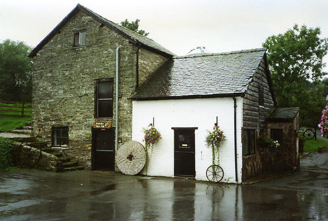
Hopton Isaf is known for its tranquility and peaceful atmosphere, making it an ideal destination for those seeking a break from the hustle and bustle of city life. The hamlet is characterized by a few scattered houses, each adorned with beautiful gardens and well-maintained lawns. The architecture of the buildings reflects a blend of traditional Welsh styles and more modern constructions.
The surrounding area offers ample opportunities for outdoor activities and exploration. Visitors can enjoy leisurely walks along the nearby Offa's Dyke Path, a historic trail that follows the ancient earthwork that once marked the border between England and Wales. The hamlet is also close to the River Vyrnwy, providing opportunities for fishing and boating enthusiasts.
Despite its rural setting, Hopton Isaf benefits from its proximity to nearby amenities. The town of Montgomery, with its shops, restaurants, and services, is only a short drive away. Additionally, the larger cities of Shrewsbury and Welshpool are within easy reach, offering a wider range of facilities and attractions.
In summary, Hopton Isaf is a charming hamlet nestled in the picturesque Montgomeryshire countryside. It offers a peaceful and idyllic setting, providing visitors with an opportunity to relax and enjoy the natural beauty of rural Wales.
If you have any feedback on the listing, please let us know in the comments section below.
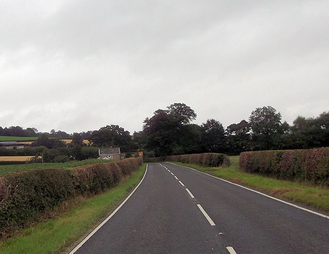
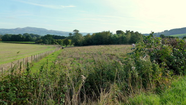
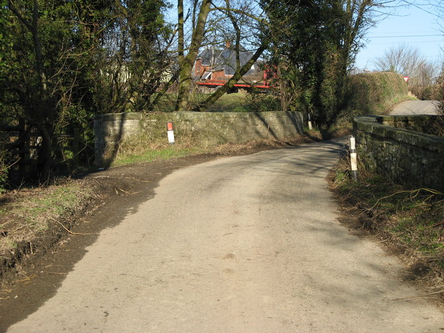
Hopton Isaf Images
Images are sourced within 2km of 52.510625/-3.132786 or Grid Reference SO2390. Thanks to Geograph Open Source API. All images are credited.


Hopton Isaf is located at Grid Ref: SO2390 (Lat: 52.510625, Lng: -3.132786)
Unitary Authority: Powys
Police Authority: Dyfed Powys
What 3 Words
///burns.collected.hangs. Near Mainstone, Shropshire
Nearby Locations
Related Wikis
Bacheldre
Bacheldre (Welsh: Bachelldref or Bachelldre) is a small settlement in Powys, Wales. It is near the A489 road and is 5 kilometres (3 mi) southeast of the...
Pentreheyling
Pentreheyling is a hamlet in Shropshire, England. It lies just west of Brompton on the A489 between Church Stoke and Newtown. The hamlet is notable for...

City, Powys
City is a hamlet in Powys, Wales. == Geography == City is 0.75 miles (1.21 km) from the small village of Sarn (which is situated on the A489 road) and...

Holy Trinity Church, Sarn
Holy Trinity Church is a Church of England parish church in Sarn, Powys, Wales. It was constructed in 1860 and is one of a small number of churches in...
Have you been to Hopton Isaf?
Leave your review of Hopton Isaf below (or comments, questions and feedback).