Ben Effrey

Hill, Mountain in Perthshire

Scotland

Ben Effrey

New road and plantation near Dunning A new conifer plantation covering most of the former moorland between the older Rossie forest and the Dunning Glen road.
New road and plantation near Dunning Credit: Richard Webb

Ben Effrey is a prominent hill located in Perthshire, Scotland. Standing at an impressive height of 719 meters (2,359 feet), it offers breathtaking views of the surrounding landscape. Situated within the Grampian Mountains, Ben Effrey is a popular destination for hikers, mountaineers, and nature enthusiasts.

The hill is characterized by its rugged terrain and diverse flora and fauna. Its slopes are covered with heather, grasses, and scattered stands of trees, creating a picturesque landscape that changes with the seasons. The area is also home to a variety of wildlife, including red deer, mountain hares, and various bird species.

Climbing Ben Effrey can be a challenging but rewarding experience. The most common route starts from the village of Aberfeldy, where a well-marked trail leads to the summit. The ascent requires a moderate level of fitness and proper hiking gear, as the path can be steep and uneven in places.

Once at the top, climbers are rewarded with mesmerizing panoramic views of the surrounding countryside, including Loch Tay, the River Tay, and the nearby Munros. On a clear day, it is even possible to see as far as the Cairngorms National Park to the north.

Overall, Ben Effrey in Perthshire offers outdoor enthusiasts a chance to immerse themselves in the natural beauty of the Scottish Highlands, providing an unforgettable experience for those who venture to its summit.

If you have any feedback on the listing, please let us know in the comments section below.
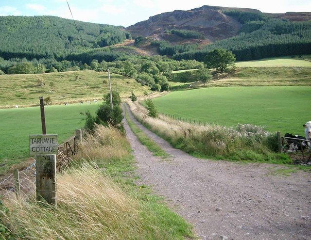
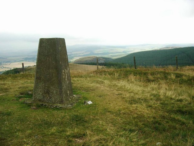
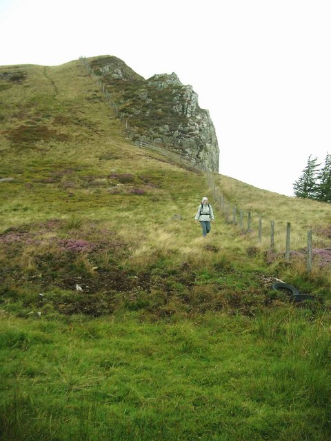
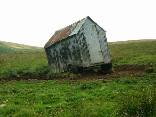
Ben Effrey Images

Images are sourced within 2km of 56.284794/-3.6476755 or Grid Reference NN9811. Thanks to Geograph Open Source API. All images are credited.

New road and plantation near Dunning A new conifer plantation covering most of the former moorland between the older Rossie forest and the Dunning Glen road.
New road and plantation near Dunning
A new conifer plantation covering most of the former moorland between the older Rossie forest and the Dunning Glen road.
Cloan This attractive large house stands at the entrance to Cloan Glen.
Cloan
This attractive large house stands at the entrance to Cloan Glen.
Private road in Cloan Estate A notice at the junction with the public road says 'Use is permitted by walkers only'. Looking north west down the Cloan Glen.
Private road in Cloan Estate
A notice at the junction with the public road says 'Use is permitted by walkers only'. Looking north west down the Cloan Glen.
February sunshine The sun lights up the trunks of these deciduous trees in the Cloan Glen. Looking up the bank from the private road which follows the Cloan Burn.
February sunshine
The sun lights up the trunks of these deciduous trees in the Cloan Glen. Looking up the bank from the private road which follows the Cloan Burn.
Fallen tree bridge The base of this footbridge across Cloan Burn is a fallen tree than spans the burn. The tree is still alive.
Fallen tree bridge
The base of this footbridge across Cloan Burn is a fallen tree than spans the burn. The tree is still alive.
Cloan Burn
Cloan Burn
Tarnavie Cottage roadend The attractive little hill of Craig Rossie behind.
Tarnavie Cottage roadend
The attractive little hill of Craig Rossie behind.
The road to Pairney Quarry This is also the start of the track up to Craig Rossie.
The road to Pairney Quarry
This is also the start of the track up to Craig Rossie.
Pairney Quarry Owned by the adjacent farm and used as much for farm storage as for quarrying, apparently.
Pairney Quarry
Owned by the adjacent farm and used as much for farm storage as for quarrying, apparently.
The track to Beld Hill Ben Effrey can be seen to the top left.  There is a fort on this hill, one of many forts in the area.
The track to Beld Hill
Ben Effrey can be seen to the top left. There is a fort on this hill, one of many forts in the area.
Bonnie blooming heather On the northern slopes of Ben Effrey.
Bonnie blooming heather
On the northern slopes of Ben Effrey.
The trig on Craig Rossie Rossie Law, with traces of its fort, can be seen to the right of the trig.
The trig on Craig Rossie
Rossie Law, with traces of its fort, can be seen to the right of the trig.
Beld Hill and Ben Effrey Ben Effrey, on the right, shows the marks of the earthworks for the iron-age fort on its summit.
Beld Hill and Ben Effrey
Ben Effrey, on the right, shows the marks of the earthworks for the iron-age fort on its summit.
Descent from Craig Rossie Showing the cliffs on the eastern side.
Descent from Craig Rossie
Showing the cliffs on the eastern side.
Heather and Craig Rossie
Southern slopes of Beld Hill Looking into the glen of the Pairney Burn.
Southern slopes of Beld Hill
Looking into the glen of the Pairney Burn.
The Pairney Burn
The Pairney Burn
Holiday caravan to let?
Show me another place!

Ben Effrey is located at Grid Ref: NN9811 (Lat: 56.284794, Lng: -3.6476755)

Unitary Authority: Perth and Kinross

Police Authority: Tayside

What 3 Words

///dandelions.hang.sharpens. Near Auchterarder, Perth & Kinross

Nearby Locations

Beld Hill Ben Effrey

Related Wikis

Auchterarder railway station

Auchterarder railway station served the village of Auchterarder near Gleneagles in the Scottish county of Perth and Kinross. == History == Opened by the...

Kincardine Castle, Auchterarder

Kincardine Castle is a 19th-century manor house near Auchterarder in Perth and Kinross, Scotland. The building lies 1.5 kilometres (0.93 mi) south-west...

Old Kincardine Castle, Auchterarder

Old Kincardine Castle was a 13th-century castle near Auchterarder in Perth and Kinross, Scotland. The castle was located on a promontory overlooking the...

Montrose Mausoleum

Montrose Mausoleum is located in the Scottish village of Aberuthven, Perth and Kinross. Dating to 1736, it is a Category A listed building. It stands in...

Nearby Amenities

Located within 500m of 56.284794,-3.6476755
Ben Effrey
Natural: peak
Lat/Long: 56.284804/-3.648242
Beld Hill
Natural: peak
Lat/Long: 56.2814631/-3.6441221
The data included in this document is from www.openstreetmap.org. The data is made available under ODbL.

Have you been to Ben Effrey?

Leave your review of Ben Effrey below (or comments, questions and feedback).