Buckland Hill
Hill, Mountain in Somerset Somerset West and Taunton
England
Buckland Hill

Buckland Hill is a prominent hill located in the county of Somerset, England. It is situated near the village of Buckland St Mary and is part of the larger Blackdown Hills Area of Outstanding Natural Beauty.
Rising to an elevation of approximately 240 meters (790 feet), Buckland Hill offers breathtaking views of the surrounding countryside. Its position within the Blackdown Hills provides visitors with a unique vantage point to appreciate the rolling hills, lush green valleys, and picturesque landscapes that characterize the region.
The hill is easily accessible, with several footpaths and trails leading to its summit. These routes are popular among hikers, nature enthusiasts, and photographers who seek to capture the beauty of the area. The terrain varies from gentle slopes to steeper sections, making the ascent suitable for individuals of different fitness levels.
Buckland Hill is also home to a diverse range of flora and fauna, adding to its natural charm. The hillside is adorned with an array of wildflowers during the spring and summer months, attracting butterflies and bees. It is not uncommon to encounter grazing livestock such as sheep and cows, as the area is used for farming.
The hill holds historical significance as well, with evidence of human activity dating back centuries. Archaeological remains, including ancient burial mounds and Iron Age hillforts, highlight the area's rich cultural heritage.
Overall, Buckland Hill stands as a captivating natural landmark that offers a combination of stunning views, recreational opportunities, and a glimpse into Somerset's past.
If you have any feedback on the listing, please let us know in the comments section below.
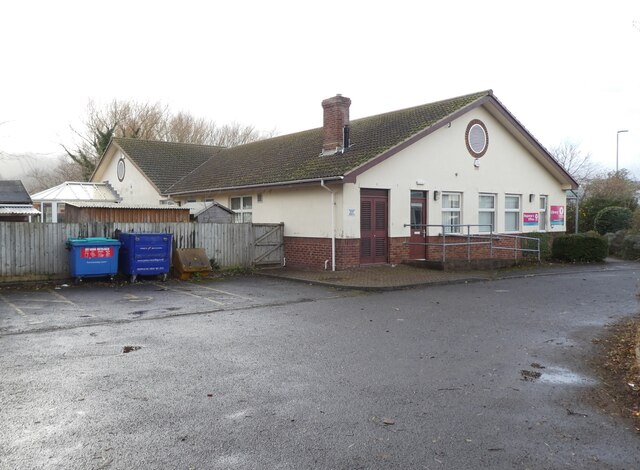
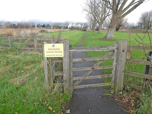
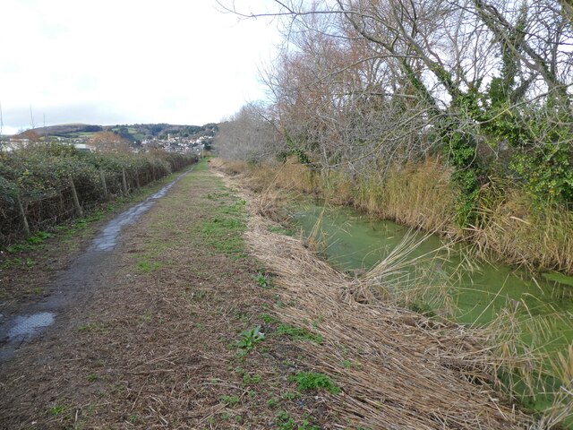
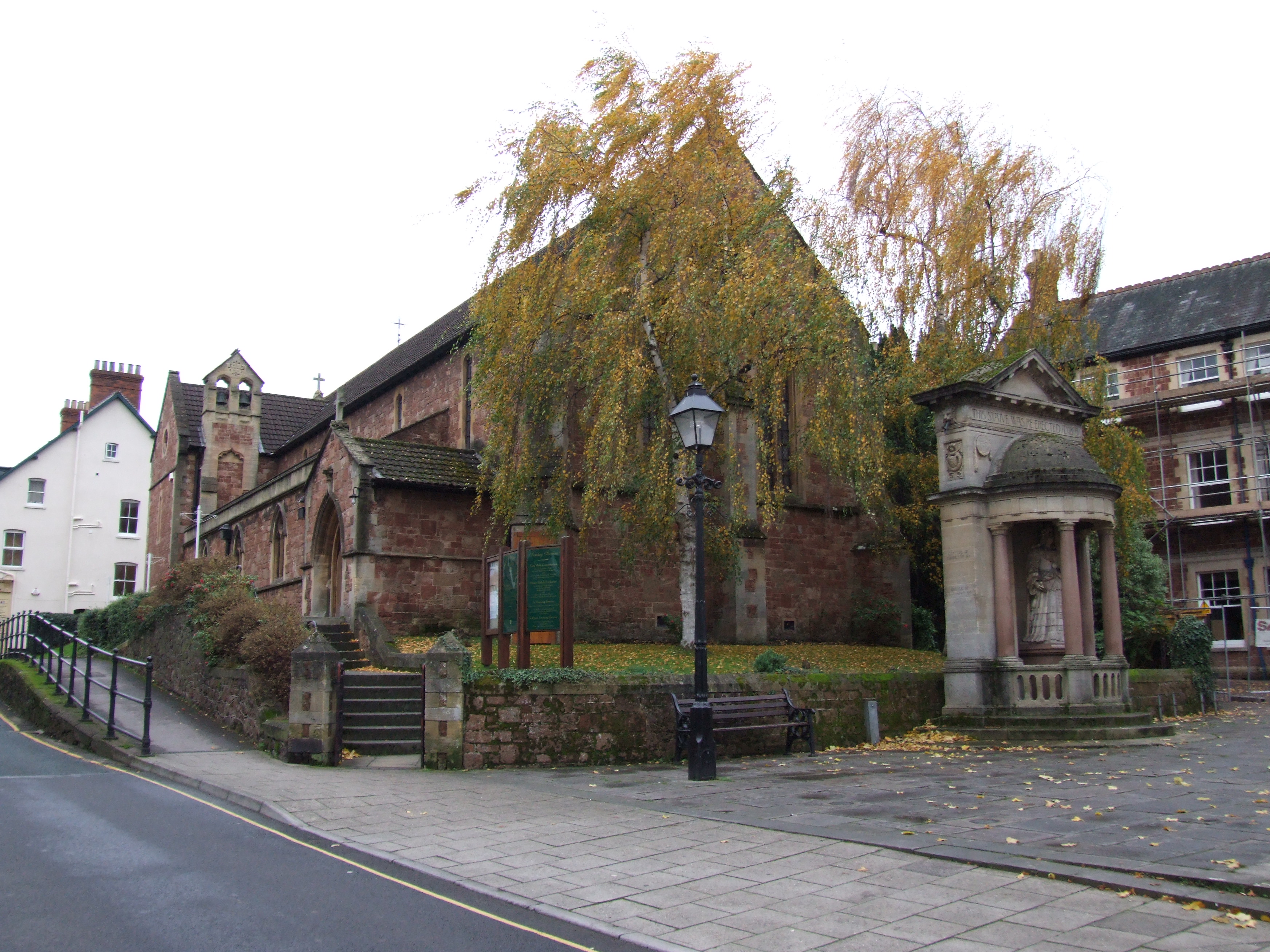
Buckland Hill Images
Images are sourced within 2km of 51.189988/-3.4774473 or Grid Reference SS9644. Thanks to Geograph Open Source API. All images are credited.


Buckland Hill is located at Grid Ref: SS9644 (Lat: 51.189988, Lng: -3.4774473)
Administrative County: Somerset
District: Somerset West and Taunton
Police Authority: Avon and Somerset
What 3 Words
///tightest.coupler.prancing. Near Minehead, Somerset
Nearby Locations
Related Wikis

West Somerset College
West Somerset College (is sometimes abbreviated to WSC and was previously known as West Somerset Community College prior to the college re-brand in September...

The Kildare Lodge Inn
The Kildare Lodge Inn in Minehead, Somerset, England, was built in 1905/6, and is located at 18 Townsend Road, to the south east of the town centre of...

Dunster Park and Heathlands
Dunster Park and Heathlands (grid reference SS955441) is a 466.6 hectare biological Site of Special Scientific Interest in Somerset, notified in 2000....

Minehead
Minehead is a coastal town and civil parish in Somerset, England. It lies on the south bank of the Bristol Channel, 21 miles (34 km) north-west of the...
Minehead A.F.C.
Minehead Association Football Club is a football club based in Minehead, Somerset, England. The club are currently members of the Somerset County League...
Grabbist Hillfort
Grabbist Hillfort is an Iron Age oval hillfort or defended enclosure, west of Dunster in Somerset, England. The site is 885.8 feet (270.0 m) long and 219...
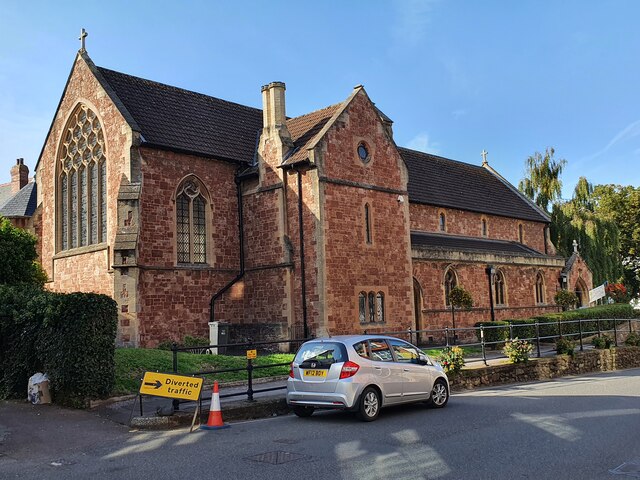
St Andrew's Church, Minehead
St Andrew's Church is a Church of England church in Minehead, Somerset, England. Designed by George Edmund Street, it was built in 1877–80 and has been...

Statue of Queen Anne, Minehead
The Statue of Queen Anne in Minehead, Somerset, England was built in 1719. It is a Grade II* listed building. == History == The statue depicts Queen Anne...
Nearby Amenities
Located within 500m of 51.189988,-3.4774473Have you been to Buckland Hill?
Leave your review of Buckland Hill below (or comments, questions and feedback).