Auchmore Hill
Hill, Mountain in Perthshire
Scotland
Auchmore Hill

Auchmore Hill is a prominent hill located in Perthshire, Scotland. Situated in the southern part of the county, it lies approximately 10 kilometers north of the town of Crieff. With an elevation of 598 meters (1,962 feet), Auchmore Hill is classified as a Marilyn, making it a popular destination for hillwalkers and outdoor enthusiasts.
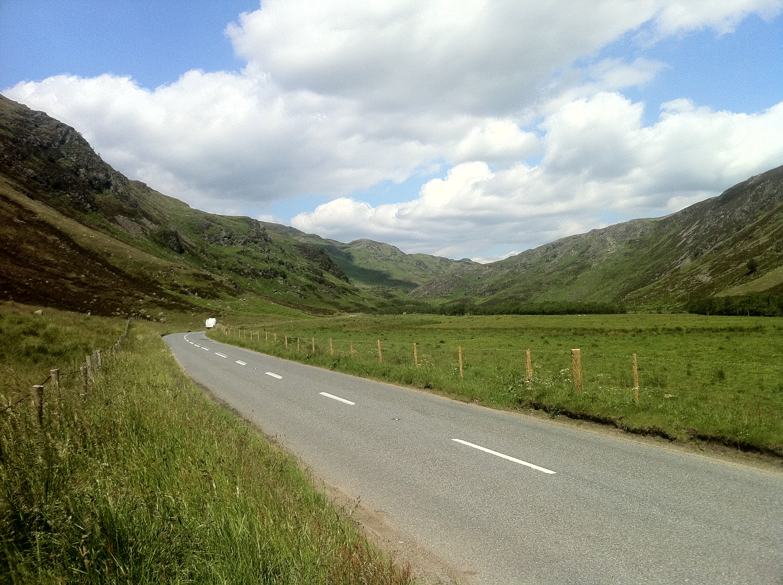
The hill boasts a distinctive conical shape, with its summit offering breathtaking panoramic views of the surrounding countryside. To the north, the impressive Grampian Mountains dominate the horizon, while to the south, the gentle slopes of the Ochil Hills can be admired. On a clear day, it is even possible to catch a glimpse of the distant Trossachs National Park.
The ascent to Auchmore Hill can be undertaken from various directions, with several footpaths and tracks leading to the top. The most popular starting point is from the small village of Muthill, where a well-marked trail guides walkers through fields and woodlands, gradually ascending towards the summit. The hill's relatively easy terrain and well-defined paths make it accessible to both experienced hikers and those new to hillwalking.
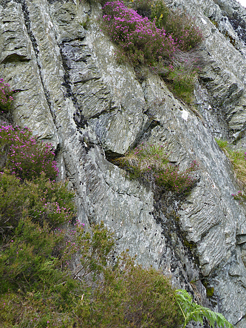
Auchmore Hill is home to a diverse range of wildlife, providing a habitat for various bird species, including buzzards and kestrels. The surrounding moorland also supports a variety of plant life, with heather and grasses covering the slopes. The hill's natural beauty and tranquility make it a fantastic location for nature enthusiasts and photographers.
Overall, Auchmore Hill offers a rewarding outdoor experience, combining stunning views, diverse flora and fauna, and a sense of tranquility. Whether exploring its slopes or enjoying the surrounding landscape, visitors will undoubtedly appreciate the natural wonders of this picturesque Perthshire hill.
If you have any feedback on the listing, please let us know in the comments section below.
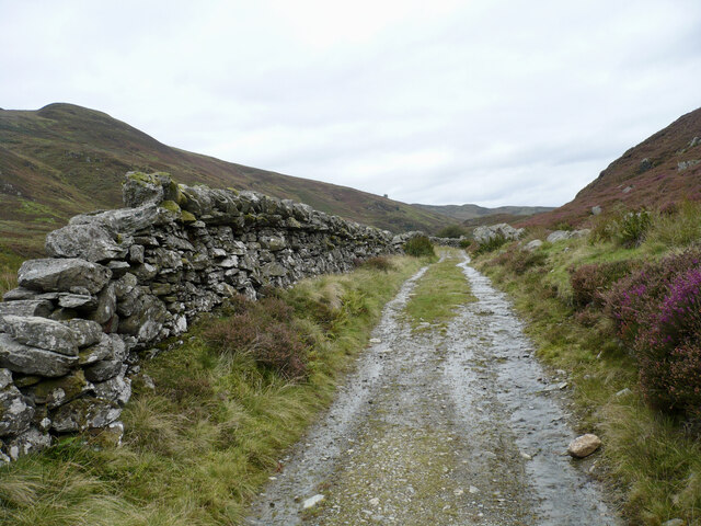
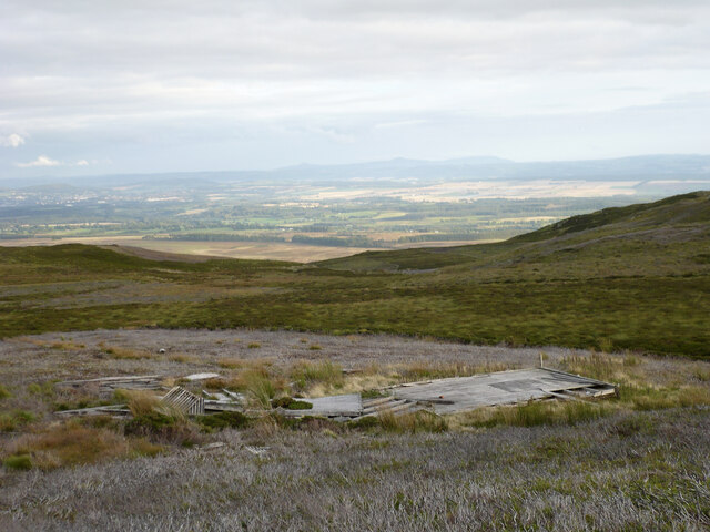
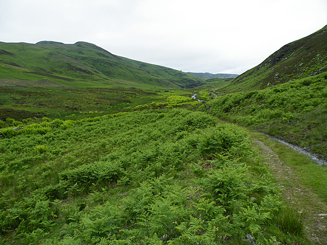
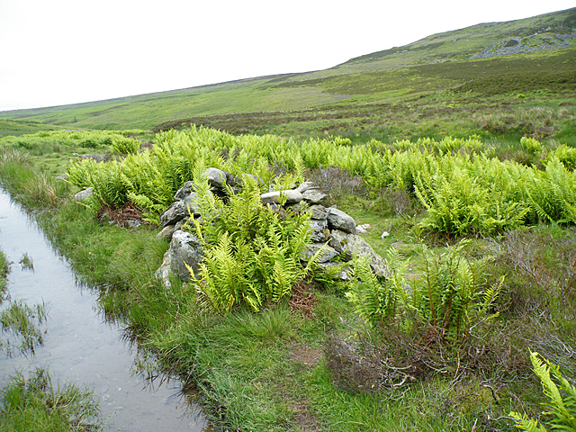
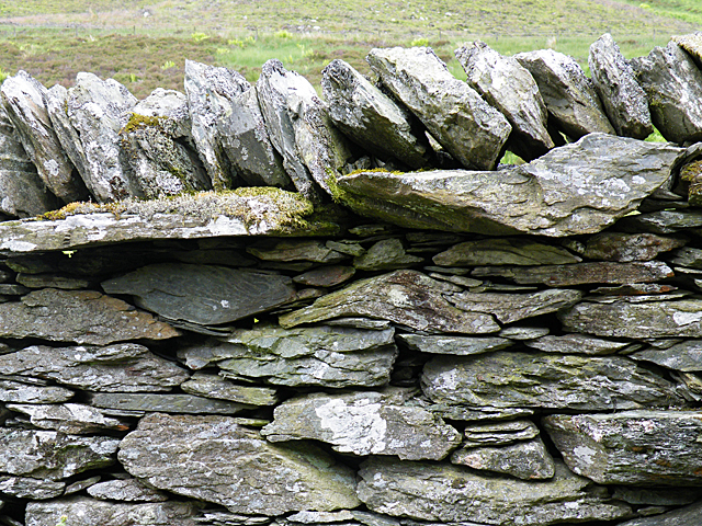
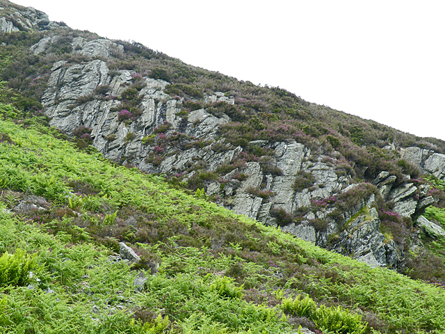
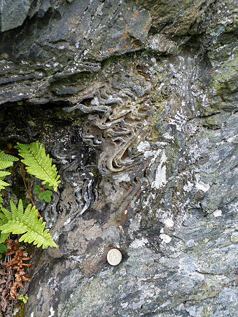
Auchmore Hill Images
Images are sourced within 2km of 56.495143/-3.6806987 or Grid Reference NN9634. Thanks to Geograph Open Source API. All images are credited.


Auchmore Hill is located at Grid Ref: NN9634 (Lat: 56.495143, Lng: -3.6806987)
Unitary Authority: Perth and Kinross
Police Authority: Tayside
What 3 Words
///manly.leathers.former. Near Bankfoot, Perth & Kinross
Nearby Locations
Related Wikis
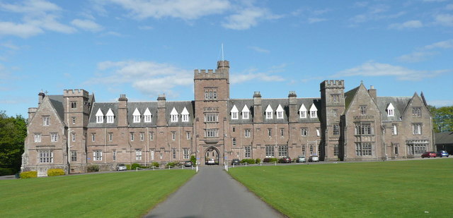
Glenalmond College
Glenalmond College is a co-educational independent boarding school in Perth and Kinross, Scotland, for children aged between 12 and 18 years. It is situated...

Harrietfield
Harrietfield is a village near Glenalmond in Perth and Kinross. It is about 9 miles (14 km) north-west of Perth. It has been suggested that the village...
Glenalmond
Glenalmond or Glen Almond (Scottish Gaelic: Gleann Amain) is a glen which stretches for several miles to the west of the city of Perth in Perth and Kinross...

Amulree
Amulree (Scottish Gaelic: Àth Maol Ruibhe, 'Ford of [St.] Maelrubha') is a small hamlet in Perth and Kinross, Scotland. It lies in hilly country on the...
Have you been to Auchmore Hill?
Leave your review of Auchmore Hill below (or comments, questions and feedback).