Tòrr Mòr

Hill, Mountain in Perthshire

Scotland

Tòrr Mòr

Large loads near Trochry The lorries travelling on the A822 are carrying parts for wind turbines.
Large loads near Trochry Credit: Maigheach-gheal

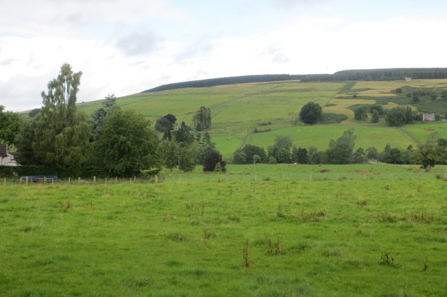
Tòrr Mòr is a prominent hill located in Perthshire, Scotland. Standing at an elevation of approximately 1,041 feet (317 meters), it offers stunning panoramic views of the surrounding landscape. The hill is situated near the town of Aberfeldy and is a popular destination for outdoor enthusiasts, hikers, and nature lovers.

Tòrr Mòr is characterized by its gentle slopes and diverse vegetation, consisting of heather, grasses, and scattered trees. The hill is predominantly composed of granite, giving it a rugged and distinctive appearance. Its summit provides a fantastic vantage point, allowing visitors to enjoy breathtaking vistas across the rolling hills, lush valleys, and shimmering lochs of the Perthshire countryside.

The hill is easily accessible, with several well-marked trails leading to the summit. The most popular route begins at the nearby village of Weem, where walkers can follow a path through fields and woodlands, gradually ascending to the top. The hike is relatively moderate, making it suitable for people of all ages and fitness levels.

Aside from its natural beauty, Tòrr Mòr also has historical significance. At the summit, there are the remains of an Iron Age hill fort, which adds an extra layer of interest for visitors. Exploring the fort's ruins allows for a glimpse into the area's past and adds an air of mystery to the hill's allure.

Overall, Tòrr Mòr is a picturesque hill in Perthshire, offering a peaceful and tranquil escape from the bustle of everyday life. Its accessibility, stunning views, and historical landmarks make it a must-visit destination for anyone exploring the region.

If you have any feedback on the listing, please let us know in the comments section below.
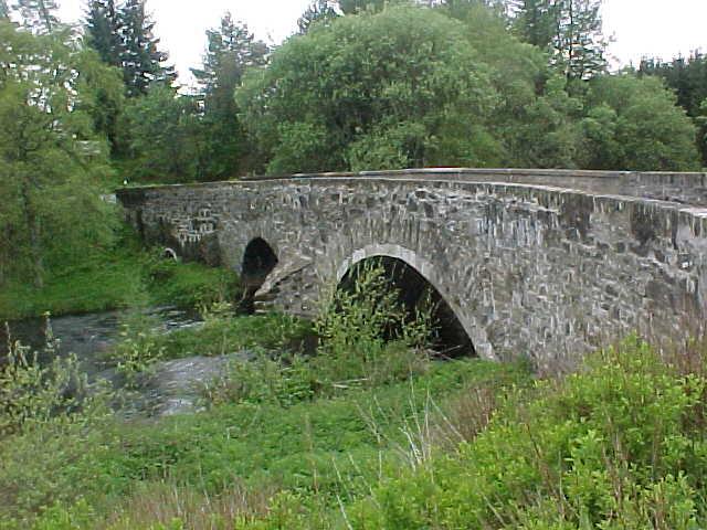
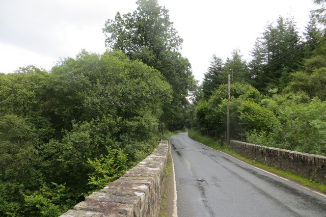
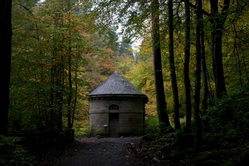
Tòrr Mòr Images

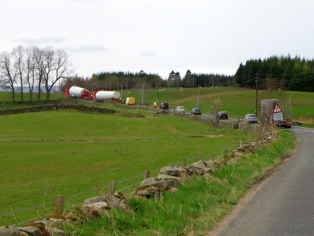
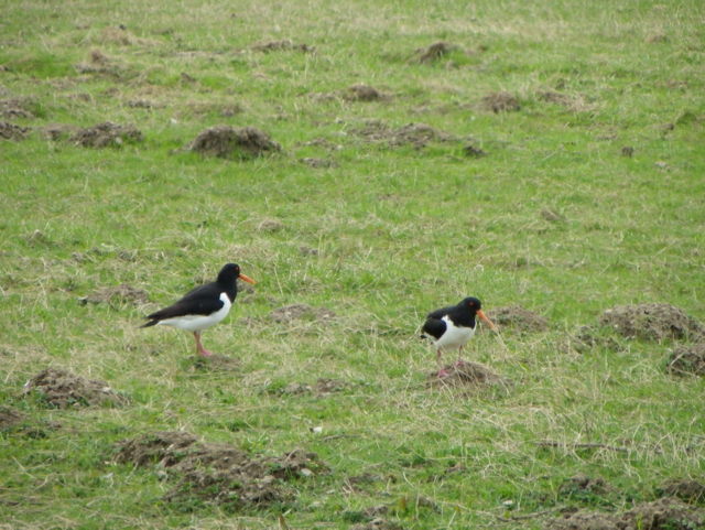
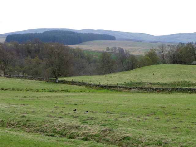
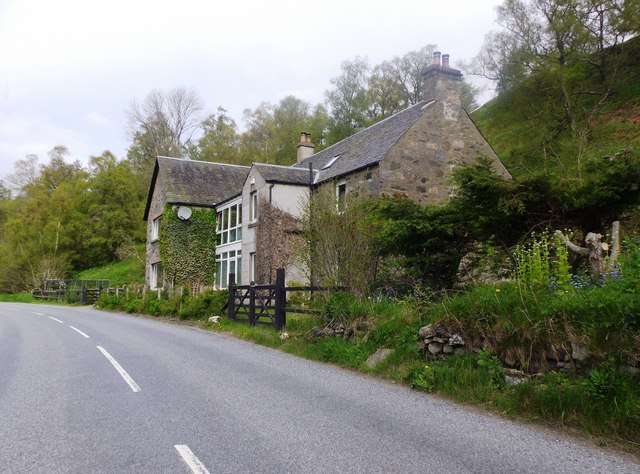
Images are sourced within 2km of 56.544252/-3.6863718 or Grid Reference NN9640. Thanks to Geograph Open Source API. All images are credited.

Large loads near Trochry The lorries travelling on the A822 are carrying parts for wind turbines.
Large loads near Trochry
The lorries travelling on the A822 are carrying parts for wind turbines.
Oystercatchers (Haematopus ostralegus) This is a large, gregarious and noisy wader that gathers in great flocks to feed on shellfish, for which it has a specially adapted bill. It lays three camouflaged eggs in summer in a bare scrape on the ground.

In Gaelic folklore the Oystercatcher is known as the Gille Bride.
Oystercatchers (Haematopus ostralegus)
This is a large, gregarious and noisy wader that gathers in great flocks to feed on shellfish, for which it has a specially adapted bill. It lays three camouflaged eggs in summer in a bare scrape on the ground. In Gaelic folklore the Oystercatcher is known as the Gille Bride.
Molehills and Oystercatchers Moles live in loose, easily diggable soil throughout Britain, from sea level to about 3000ft, but there are no moles in Ireland. They do not colonise poor mountain soil or acid, sandy soil because these contain few earthworms. 

Moles belong to the order of mammals called insectivores, and are related to hedgehogs.

Molehills spoil lawns and sports grounds and reduce the value of pasture. They may also damage blades of cutting machines. In addition, moles rob the soil of earthworms. Farmers and gardeners are therefore their chief enemies. Other enemies include owls, foxes, dogs and cats.

The mole's name is possibly a shortened form of 'mouldiwarp', a names still used in northern England, which is derived from Old English 'molde', meaning earth and 'werpen', meaning to throw. But how can they make the hills when the earth is as hard as iron.

For a closer view of the oystercatchers <a href="https://www.geograph.org.uk/photo/2759101">NN9539 : Oystercatchers (Haematopus ostralegus)</a>
Molehills and Oystercatchers
Moles live in loose, easily diggable soil throughout Britain, from sea level to about 3000ft, but there are no moles in Ireland. They do not colonise poor mountain soil or acid, sandy soil because these contain few earthworms. Moles belong to the order of mammals called insectivores, and are related to hedgehogs. Molehills spoil lawns and sports grounds and reduce the value of pasture. They may also damage blades of cutting machines. In addition, moles rob the soil of earthworms. Farmers and gardeners are therefore their chief enemies. Other enemies include owls, foxes, dogs and cats. The mole's name is possibly a shortened form of 'mouldiwarp', a names still used in northern England, which is derived from Old English 'molde', meaning earth and 'werpen', meaning to throw. But how can they make the hills when the earth is as hard as iron. For a closer view of the oystercatchers NN9539 : Oystercatchers (Haematopus ostralegus)
Drumour Schoolhouse Converted to a residence; by the A822.
Drumour Schoolhouse
Converted to a residence; by the A822.
Drumour Bridge carries the A822 across the River Braan
Entrance to Trochry
Entrance to Trochry
Strath Braan A fertile farmed glen in Highland Perthshire.  Here the A822 passes Borelick.
Strath Braan
A fertile farmed glen in Highland Perthshire. Here the A822 passes Borelick.
Haugh, Drumour Fields beside the Braan.
Haugh, Drumour
Fields beside the Braan.
River Braan, Drumour
River Braan, Drumour The river is far below Drumour Bridge on the A822.
River Braan, Drumour
The river is far below Drumour Bridge on the A822.
Drumour Bridge The bridge builders took advantage of a narrow gorge to cross the Braan,
Drumour Bridge
The bridge builders took advantage of a narrow gorge to cross the Braan,
Field, Trochry Pasture in Strath Braan.
Field, Trochry
Pasture in Strath Braan.
Old Milestone by the A822, Wester Drumour, Little Dunkeld parish Stone post by the A822, in parish of Little Dunkeld (District), Wester Drumour, on verge near hedge.

Inscription once read:-
: (Amulree / 4¾) : : (Dunkeld / 5) :

Surveyed

Milestone Society National ID: PK_DKAM05
Old Milestone by the A822, Wester Drumour, Little Dunkeld parish
Stone post by the A822, in parish of Little Dunkeld (District), Wester Drumour, on verge near hedge. Inscription once read:- : (Amulree / 4¾) : : (Dunkeld / 5) : Surveyed Milestone Society National ID: PK_DKAM05
Old Milestone by the A822, Trochry, Little Dunkeld parish Stone post by the A822, in parish of Little Dunkeld (District), Trochry, on verge, Southeast side of road.

Inscription once read:-
: Amulree / 5¾ : : Dunkeld / 4 :

Surveyed

Milestone Society National ID: PK_DKAM04
Old Milestone by the A822, Trochry, Little Dunkeld parish
Stone post by the A822, in parish of Little Dunkeld (District), Trochry, on verge, Southeast side of road. Inscription once read:- : Amulree / 5¾ : : Dunkeld / 4 : Surveyed Milestone Society National ID: PK_DKAM04
River Braan at low water After a dry month the river Braan at Rumbling Bridge was very low
River Braan at low water
After a dry month the river Braan at Rumbling Bridge was very low
River Braan in spate at Rumbling Bridge I contrast this with my other submission of low water
River Braan in spate at Rumbling Bridge
I contrast this with my other submission of low water
In Strathbraan, north of the A822
A croft cottage on the Old Military Road Strathbraan, near Newton Bridge.
A croft cottage on the Old Military Road
Strathbraan, near Newton Bridge.
Show me another place!

Tòrr Mòr is located at Grid Ref: NN9640 (Lat: 56.544252, Lng: -3.6863718)

Unitary Authority: Perth and Kinross

Police Authority: Tayside

What 3 Words

///appetite.clashing.bids. Near Bankfoot, Perth & Kinross

Nearby Locations

Tòrr Mòr Torr Beag

Related Wikis

Falls of the Braan

Falls of the Braan is a waterfall of Scotland located in the Hermitage at the National Trust for Scotland-protected site in Dunkeld, Perth and Kinross...

Hermitage Douglas-fir

The Hermitage Douglas-fir (also known as Ossian's Douglas-fir) was a Douglas-fir tree which stood in The Hermitage pleasure ground, in Dunkeld, Scotland...

The Hermitage, Dunkeld

The Hermitage (officially The Hermitage pleasure ground) is a National Trust for Scotland-protected site in Dunkeld, Perth and Kinross. Located just to...

Craigvinean Forest

Craigvinean Forest is located 1 mile (1.6 km) west of Dunkeld, Perth and Kinross, Scotland, on the A9. It is accessed through a track at the foot of Deuchary...

Nearby Amenities

Located within 500m of 56.544252,-3.6863718
Life Ring
Emergency: life_ring
Lat/Long: 56.5413393/-3.6815411
Bench
Lat/Long: 56.5413186/-3.6815304
Power: pole
Lat/Long: 56.5418064/-3.680924
Power: pole
Lat/Long: 56.5409679/-3.6844028
Power: pole
Lat/Long: 56.5403401/-3.6868999
Power: pole
Lat/Long: 56.5406529/-3.6857012
Settlement
Artist Name: Patricia Ace
Artwork Type: poem
Inscription: The people who settled here faces etched deep by distant lives scored by work and weather
Material: glass
Tourism: artwork
Website: https://www.corbenicpoetrypath.com
Lat/Long: 56.5409006/-3.6809642
Walk With All Seasons
Artist Name: Margaret Gillies Brown
Artwork Type: poem
Material: stone
Operator: Corbenic Camphill Community
Tourism: artwork
Website: https://www.corbenicpoetrypath.com
Lat/Long: 56.5420693/-3.6793183
Casting
Artist Name: Morgan Downie
Artwork Type: poem
Material: wood
Tourism: artwork
Website: https://www.corbenicpoetrypath.com
Lat/Long: 56.5413277/-3.681584
Field Grass
Artist Name: Jon Plunkett
Artwork Type: poem
Tourism: artwork
Website: https://www.corbenicpoetrypath.com
Lat/Long: 56.5419308/-3.6809542
Power: pole
Lat/Long: 56.540032/-3.6881247
Natural: boulder
Lat/Long: 56.5435525/-3.6887193
Natural: boulder
Lat/Long: 56.5436746/-3.6897669
Natural: boulder
Lat/Long: 56.5437383/-3.687849
Natural: boulder
Lat/Long: 56.5440284/-3.6880921
Natural: boulder
Lat/Long: 56.5436428/-3.6888296
Natural: boulder
Lat/Long: 56.5437021/-3.688282
Natural: boulder
Lat/Long: 56.5436095/-3.6884273
Natural: boulder
Lat/Long: 56.5434208/-3.6896575
Natural: boulder
Lat/Long: 56.5440778/-3.6873637
Natural: boulder
Lat/Long: 56.5434124/-3.689925
Natural: boulder
Lat/Long: 56.5424626/-3.6854899
Natural: boulder
Lat/Long: 56.5434048/-3.6898862
Natural: boulder
Lat/Long: 56.543758/-3.6866909
Natural: boulder
Lat/Long: 56.5438417/-3.6880874
Natural: stone
Lat/Long: 56.5444295/-3.6848823
Natural: boulder
Lat/Long: 56.5413475/-3.6894083
Natural: boulder
Lat/Long: 56.5419966/-3.6916889
Natural: boulder
Lat/Long: 56.5427122/-3.6905584
Natural: boulder
Lat/Long: 56.5423711/-3.6907166
Natural: boulder
Lat/Long: 56.5413759/-3.6908328
Natural: boulder
Lat/Long: 56.5413328/-3.6888347
Natural: boulder
Lat/Long: 56.5426491/-3.6908861
Natural: boulder
Lat/Long: 56.5427494/-3.6914942
Natural: boulder
Lat/Long: 56.542692/-3.6906017
Natural: boulder
Lat/Long: 56.5427505/-3.6912553
Natural: boulder
Lat/Long: 56.5426778/-3.6906551
Natural: boulder
Lat/Long: 56.5430166/-3.691449
Natural: boulder
Lat/Long: 56.541758/-3.683484
Natural: boulder
Lat/Long: 56.5413281/-3.6896169
Natural: boulder
Lat/Long: 56.541311/-3.6895723
Natural: boulder
Lat/Long: 56.5427318/-3.6914598
Natural: boulder
Lat/Long: 56.5413852/-3.6901546
Natural: boulder
Lat/Long: 56.5426489/-3.6906978
Natural: boulder
Lat/Long: 56.5427839/-3.6915854
Natural: boulder
Lat/Long: 56.5427938/-3.6905456
Natural: boulder
Lat/Long: 56.5413415/-3.6893612
Natural: boulder
Lat/Long: 56.5427593/-3.6915672
Natural: boulder
Lat/Long: 56.5426919/-3.6913272
Natural: boulder
Lat/Long: 56.5412792/-3.6893602
Natural: boulder
Lat/Long: 56.54267/-3.6905485
Natural: boulder
Lat/Long: 56.5425583/-3.6914687
Natural: boulder
Lat/Long: 56.5414291/-3.6905963
Natural: boulder
Lat/Long: 56.541323/-3.6894943
Natural: boulder
Lat/Long: 56.5426581/-3.6909887
Natural: boulder
Lat/Long: 56.5420296/-3.6916757
Natural: boulder
Lat/Long: 56.5425914/-3.6914968
Natural: boulder
Lat/Long: 56.5428569/-3.6914577
Natural: boulder
Lat/Long: 56.5420373/-3.6916774
Entrance: main
Lat/Long: 56.5402709/-3.6838398
Artwork Type: sculpture
Material: wood
Tourism: artwork
Lat/Long: 56.5417812/-3.6813835
The data included in this document is from www.openstreetmap.org. The data is made available under ODbL.

Have you been to Tòrr Mòr?

Leave your review of Tòrr Mòr below (or comments, questions and feedback).