Chapel Hill
Hill, Mountain in Nairnshire
Scotland
Chapel Hill
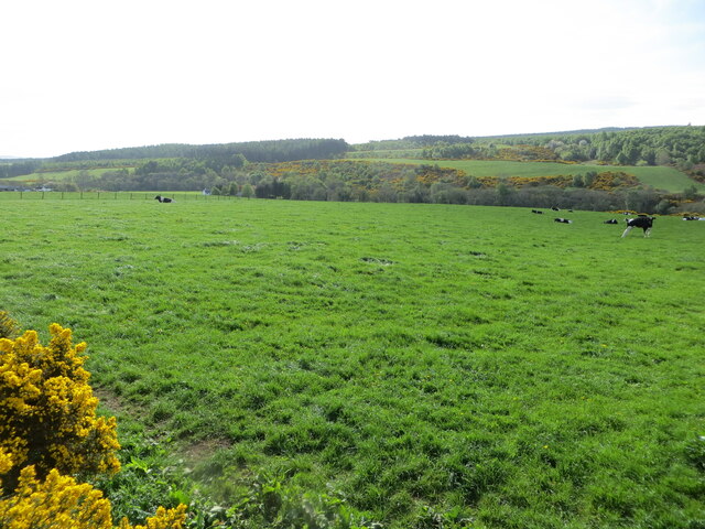
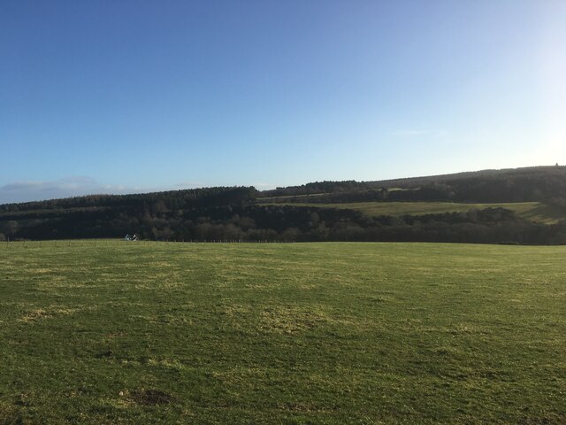
Chapel Hill is a prominent geographical feature located in Nairnshire, Scotland. Rising gracefully at an elevation of approximately 300 meters, this hill is situated within the rolling landscape of the Scottish Highlands. Offering a stunning panoramic view of the surrounding countryside, Chapel Hill is a popular destination for outdoor enthusiasts and nature lovers alike.
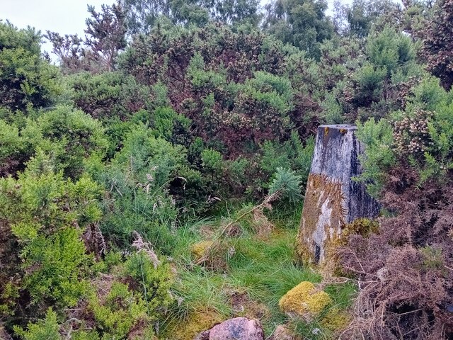
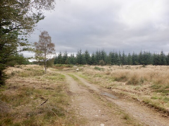
Covered in lush green vegetation, the hill is predominantly composed of grassy slopes and rocky outcrops. It serves as an important habitat for a diverse range of flora and fauna, attracting a variety of bird species, small mammals, and insects. The presence of numerous walking trails and footpaths allows visitors to explore the area and immerse themselves in the natural beauty of Chapel Hill.
At the summit, a small chapel dating back several centuries is perched, lending the hill its name. This historic landmark adds a touch of intrigue and cultural significance to the site, making it a point of interest for history buffs and those interested in local folklore.
Chapel Hill is easily accessible by foot or by car, with nearby parking facilities available. Its close proximity to the village of Nairnshire makes it a convenient destination for day trips or leisurely hikes. Visitors can revel in the tranquility of the surrounding countryside, reveling in the breathtaking vistas and serene atmosphere that Chapel Hill has to offer.
If you have any feedback on the listing, please let us know in the comments section below.
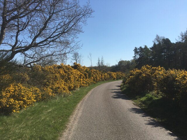
Chapel Hill Images
Images are sourced within 2km of 57.540831/-3.7393916 or Grid Reference NH9551. Thanks to Geograph Open Source API. All images are credited.


Chapel Hill is located at Grid Ref: NH9551 (Lat: 57.540831, Lng: -3.7393916)
Unitary Authority: Highland
Police Authority: Highlands and Islands
What 3 Words
///blanked.employ.billiard. Near Nairn, Highland
Nearby Locations
Related Wikis

Littlemill
Littlemill is a village located close to Nairn in Nairnshire, Scottish Highlands and is in the Scottish council area of Highland. == References ==

Brightmony House
Brightmony House is an 18th-century manor house located south of Auldearn, Highland in Scotland. It is a Category A listed building == History == The property...

Randolph's Leap
Randolph's Leap is an SSSI and area of countryside in Moray, Scotland. The area surrounds the River Findhorn and is actually named after the point at the...
Kinsteary House
Kinsteary House is a manor house and site of a possible castle located south of Auldearn, Highland in Scotland. == History == The property passed by marriage...
Nearby Amenities
Located within 500m of 57.540831,-3.7393916Have you been to Chapel Hill?
Leave your review of Chapel Hill below (or comments, questions and feedback).