Macbeth's Hillock
Hill, Mountain in Morayshire
Scotland
Macbeth's Hillock
Macbeth's Hillock, also known as Macbeth's Hill or Macbeth's Mountain, is a prominent geographic feature located in Morayshire, Scotland. Situated near the town of Forres, this hill is believed to be the location where the real-life Macbeth, the historical figure who inspired Shakespeare's tragic play, resided during his reign as King of Scotland from 1040 to 1057.
The hillock itself stands at an elevation of approximately 100 meters, offering stunning panoramic views of the surrounding countryside. Its lush green slopes are covered in heather and other native vegetation, adding to its natural beauty. With its historical significance and picturesque setting, Macbeth's Hillock has become a popular tourist attraction and a must-visit destination for Shakespeare enthusiasts.
Visitors can take a leisurely hike up the hill, following a well-marked trail that leads to the summit. Along the way, informative plaques provide historical context, recounting Macbeth's rise to power and the events that unfolded during his reign. At the top, visitors can enjoy breathtaking vistas of the Moray Firth and the nearby Cawdor Castle, believed to be the setting of Macbeth's fictional castle in Shakespeare's play.
Macbeth's Hillock offers a unique opportunity to step back in time and immerse oneself in the rich history and folklore of Scotland. Whether one is interested in the historical Macbeth or simply seeking a picturesque outdoor experience, this hill in Morayshire provides an enchanting setting that captivates both the mind and the senses.
If you have any feedback on the listing, please let us know in the comments section below.
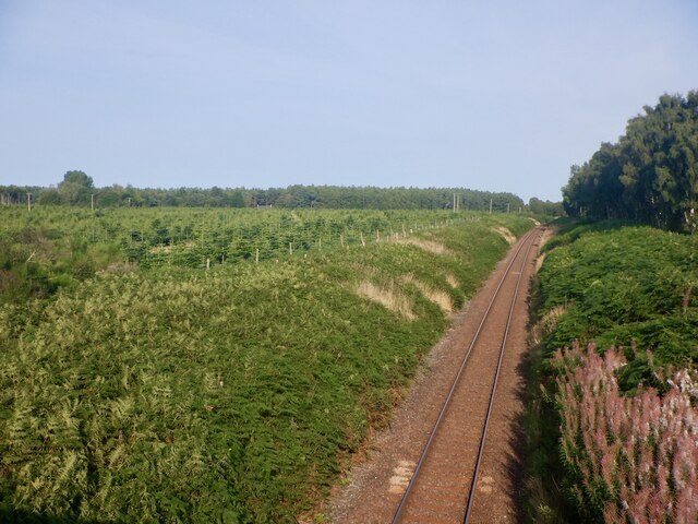
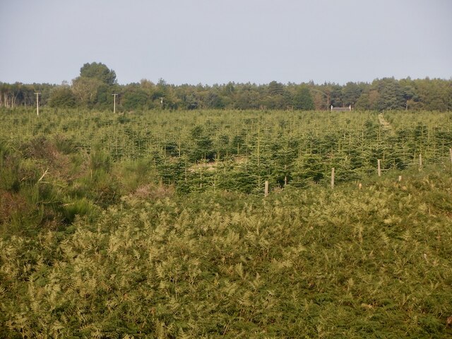
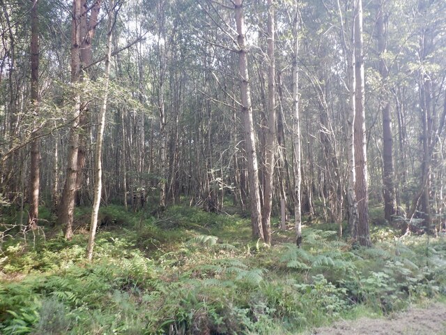
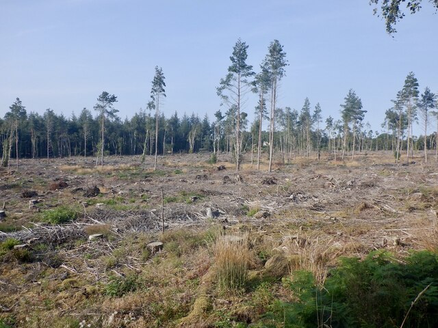
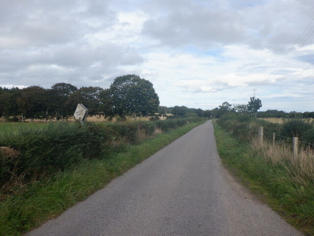
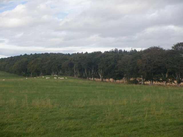
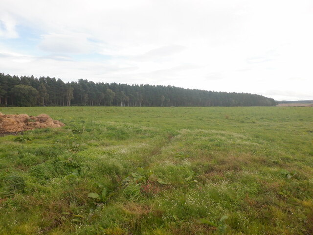
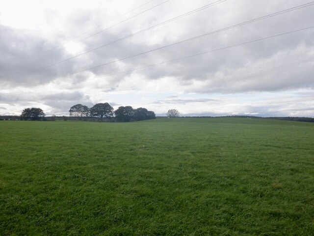
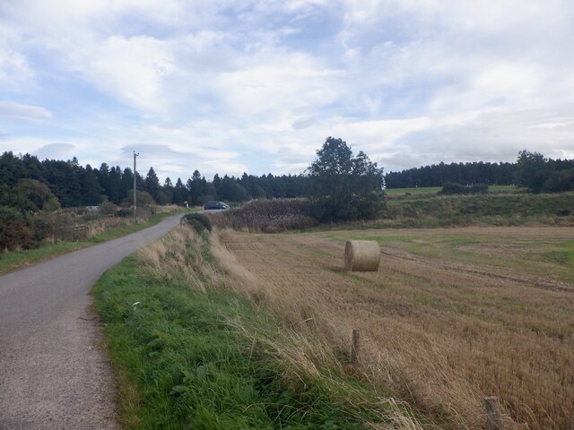
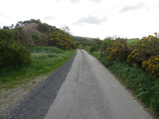
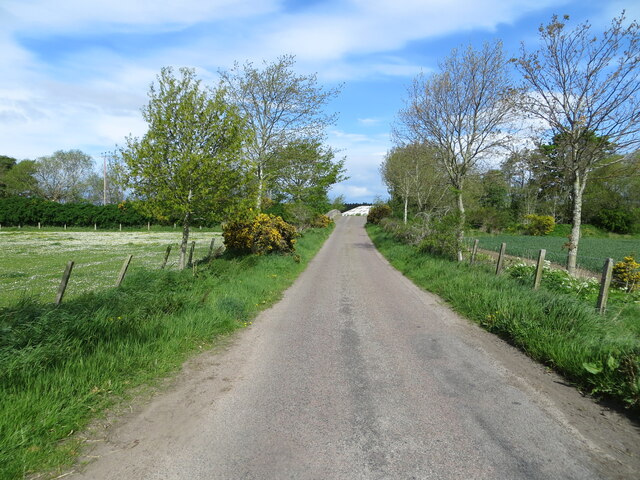
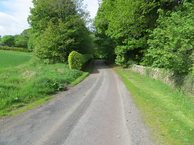
Macbeth's Hillock Images
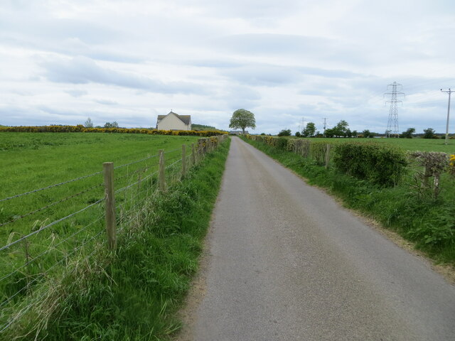
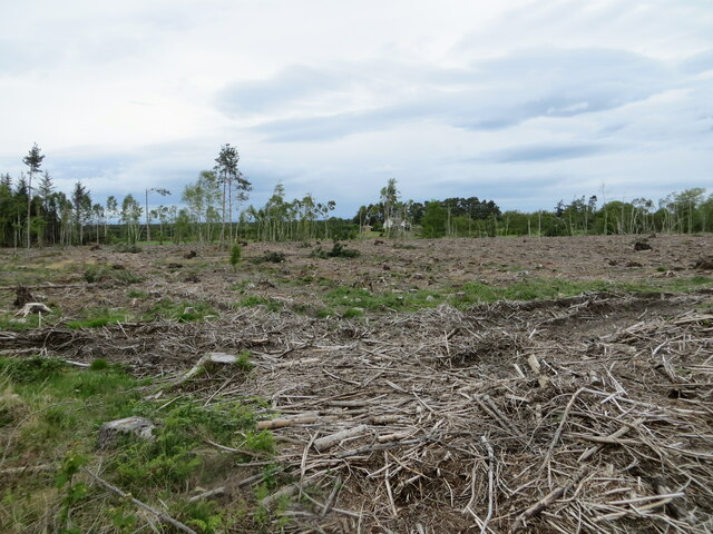
Images are sourced within 2km of 57.588814/-3.7427526 or Grid Reference NH9556. Thanks to Geograph Open Source API. All images are credited.


Macbeth's Hillock is located at Grid Ref: NH9556 (Lat: 57.588814, Lng: -3.7427526)
Unitary Authority: Moray
Police Authority: North East
What 3 Words
///shuttling.hails.filled. Near Forres, Moray
Nearby Locations
Related Wikis
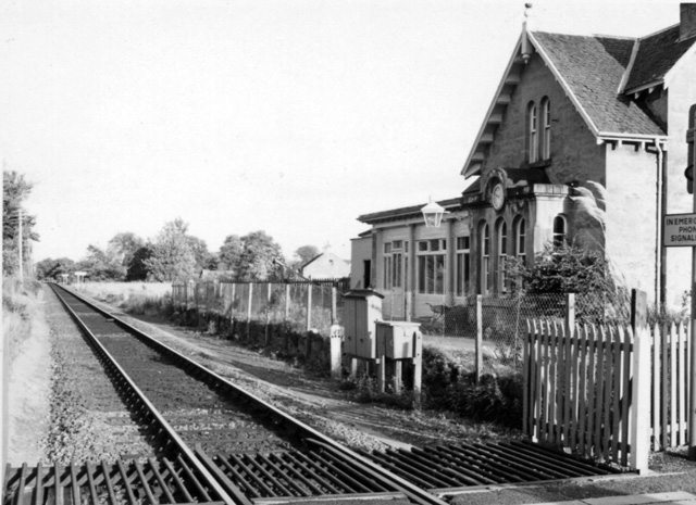
Brodie railway station
Brodie railway station served the area of Brodie, Moray, Scotland from 1857 to 1965 on the Inverness and Aberdeen Junction Railway. == History == The station...

Rodney's Stone
Rodney's Stone is a two-metre high Pictish cross slab now located close on the approach way to Brodie Castle, near Forres, Moray, Scotland. It was originally...

Dyke, Moray
Dyke (Scottish Gaelic: Dìg) is a small village situated in the north of Scotland on the Moray coast, approximately 4 miles west of Forres. The origin of...

Dyke Parish Church
Dyke Parish Church is a Georgian church in Dyke, a village in Moray. In active use by the Church of Scotland since it was built in 1781, it stands on the...
Nearby Amenities
Located within 500m of 57.588814,-3.7427526Have you been to Macbeth's Hillock?
Leave your review of Macbeth's Hillock below (or comments, questions and feedback).