Bryn Mawr
Hill, Mountain in Montgomeryshire
Wales
Bryn Mawr
The requested URL returned error: 429 Too Many Requests
If you have any feedback on the listing, please let us know in the comments section below.
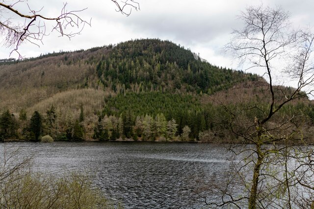
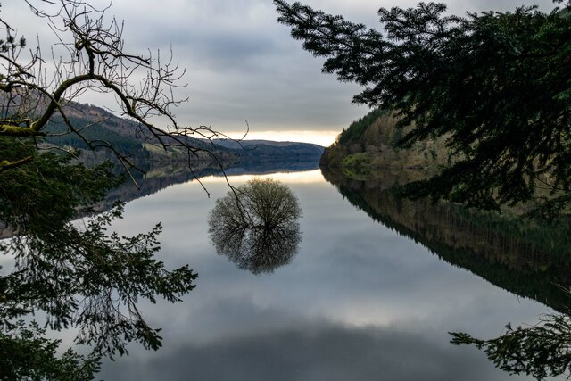
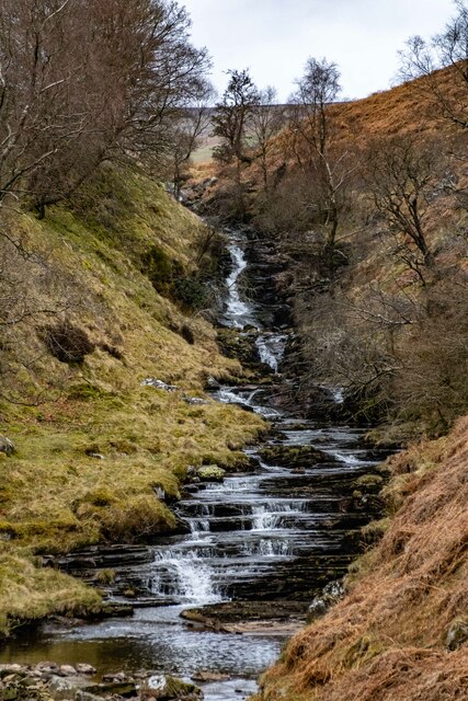
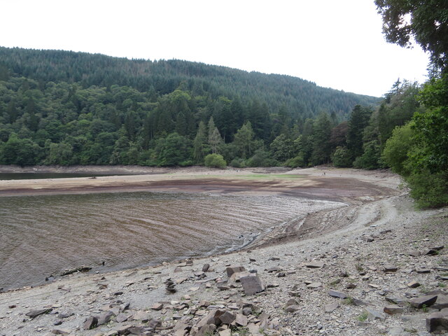
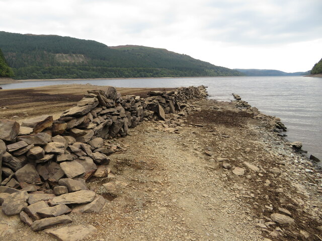
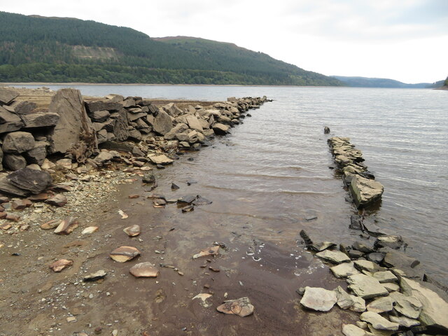
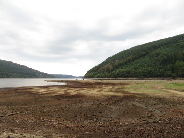
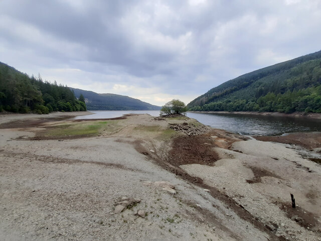
Bryn Mawr Images
Images are sourced within 2km of 52.784635/-3.5569772 or Grid Reference SH9521. Thanks to Geograph Open Source API. All images are credited.


Bryn Mawr is located at Grid Ref: SH9521 (Lat: 52.784635, Lng: -3.5569772)
Unitary Authority: Powys
Police Authority: Dyfed Powys
What 3 Words
///drama.dispose.beaten. Near Llanuwchllyn, Gwynedd
Nearby Locations
Related Wikis

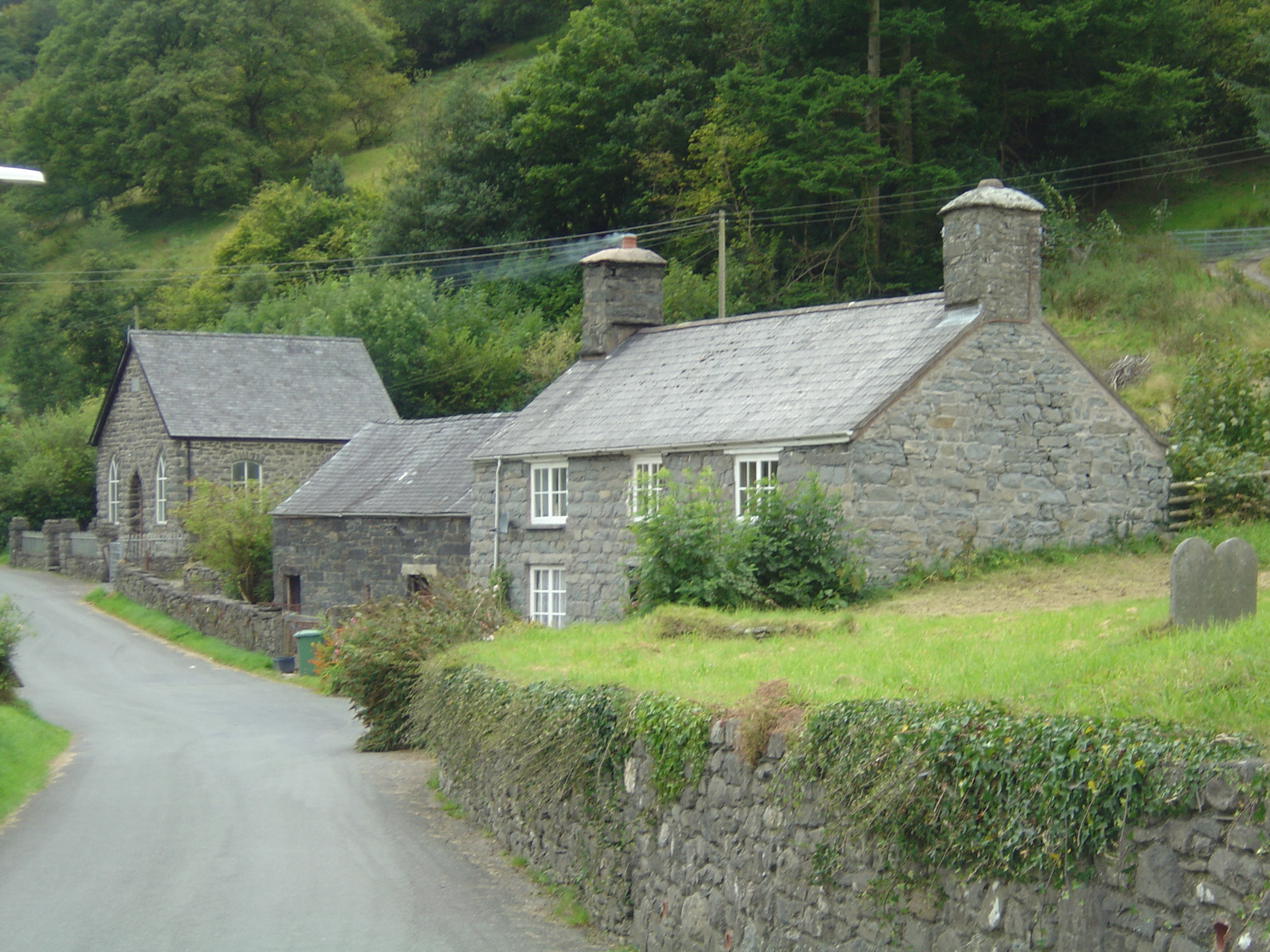
Rhiwargor
Rhiwargor is a hamlet in Powys, Wales. It is located north of Lake Vyrnwy. The hamlet is made up of a few houses with no amenities. It does however, lie...
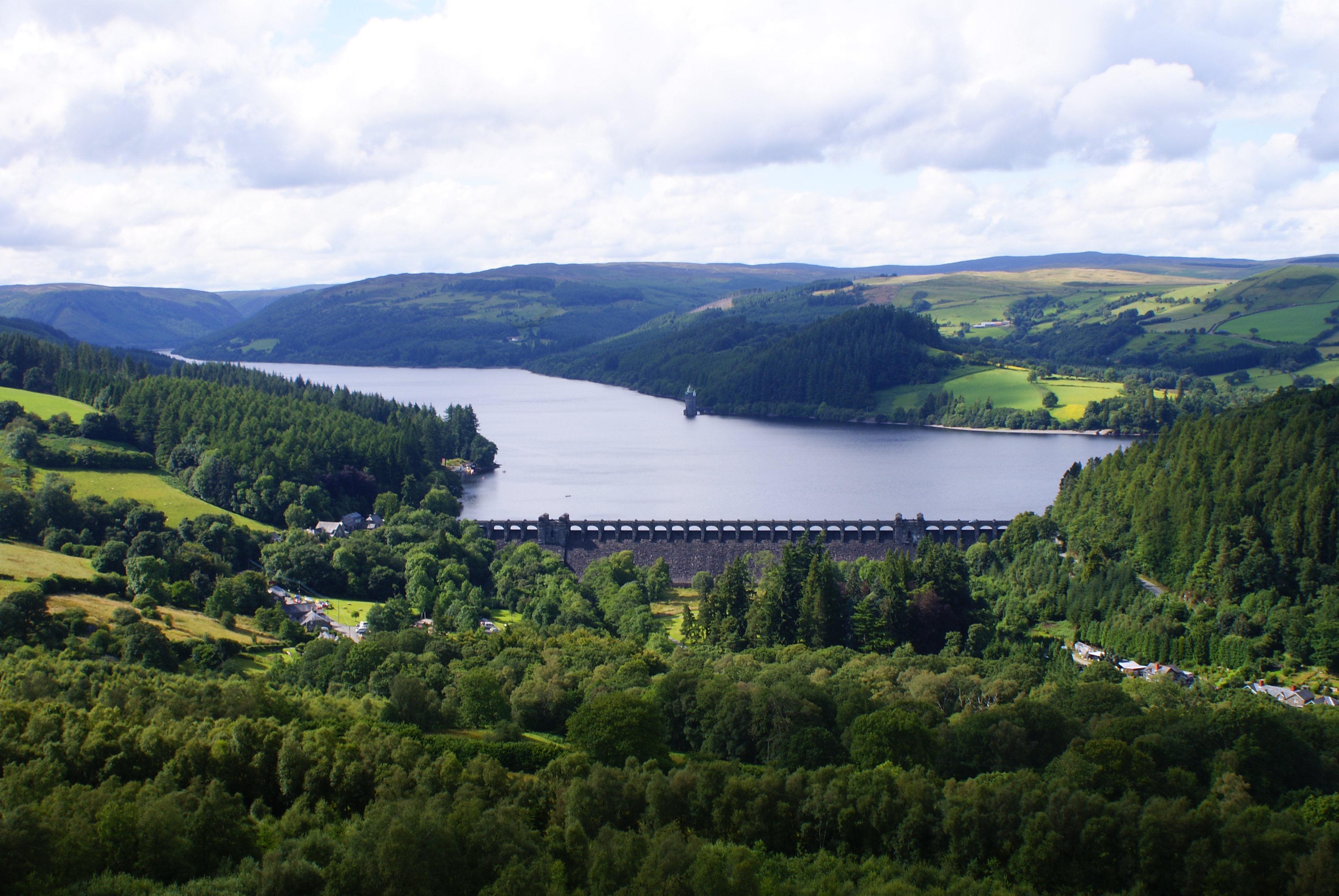
Lake Vyrnwy
Lake Vyrnwy (Welsh: Llyn Efyrnwy, pronounced [ɛˈvərnʊɨ] or Llyn Llanwddyn) is a reservoir in Powys, Wales, built in the 1880s for Liverpool Corporation...

Bwlch y Groes
Bwlch y Groes (translates from Welsh as pass of the cross) is the second highest public road mountain pass in Wales, with a summit altitude of 545 metres...
Llanymawddwy
Llanymawddwy () is a village in the community of Mawddwy in south-east Gwynedd, Wales, which is to the north of the larger village of Dinas Mawddwy, on...
Nearby Amenities
Located within 500m of 52.784635,-3.5569772Have you been to Bryn Mawr?
Leave your review of Bryn Mawr below (or comments, questions and feedback).