A' Chràsg
Hill, Mountain in Sutherland
Scotland
A' Chràsg
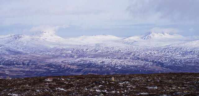
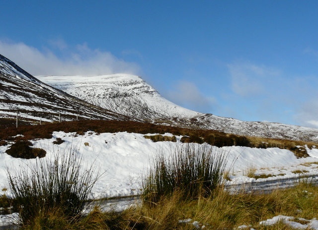
A' Chràsg is a prominent hill located in the county of Sutherland, in the northern part of Scotland. It is situated within the Scottish Highlands, known for its rugged and picturesque landscapes. A' Chràsg stands at an elevation of approximately 329 meters (1,079 feet), making it a notable feature in the area.
The hill is characterized by its distinctive shape, with a rounded summit that offers panoramic views of the surrounding countryside. It is composed mainly of sedimentary rocks, including sandstone and shale, which have been shaped by millions of years of geological processes. The hill is also home to a variety of flora and fauna, including heather, grasses, and various bird species.
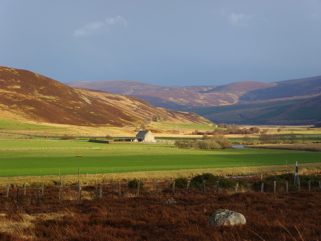
A' Chràsg is a popular destination for outdoor enthusiasts and nature lovers. It offers several walking trails and hiking routes that cater to different skill levels, allowing visitors to explore its scenic beauty. The hill is easily accessible, with a car park located nearby, making it a convenient stop for those traveling through the region.
In addition to its natural beauty, A' Chràsg also holds historical significance. It is believed to have been inhabited by humans for thousands of years, with evidence of ancient settlements and artifacts found in the surrounding area. These historical remnants add to the allure of the hill and provide a deeper understanding of the region's rich cultural heritage.
Overall, A' Chràsg is a captivating hill in Sutherland, offering a mix of natural beauty, outdoor activities, and historical intrigue. Whether for leisurely walks, photography, or archaeological exploration, it is a destination that appeals to a wide range of interests.
If you have any feedback on the listing, please let us know in the comments section below.
A' Chràsg Images
Images are sourced within 2km of 58.126046/-3.7900238 or Grid Reference NC9416. Thanks to Geograph Open Source API. All images are credited.


A' Chràsg is located at Grid Ref: NC9416 (Lat: 58.126046, Lng: -3.7900238)
Unitary Authority: Highland
Police Authority: Highlands and Islands
What 3 Words
///sheets.fidelity.polite. Near Brora, Highland
Nearby Locations
Related Wikis
Beinn Dhorain
Beinn Dhorain (628 m) is a mountain in the Northwest Highlands. It lies in Sutherland in the far north of Scotland, west of the village of Helmsdale.A...

Kilphedir
Kilphedir (from Scottish Gaelic Cill Pheadair 'Peter's church') is a small remote settlement, which sits in the Strath Ullie valley (known also as Strath...
Strath of Kildonan
Strath of Kildonan, also known as Strath Ullie, (Scottish Gaelic: Srath Ilidh), is a strath in Sutherland, in the north of Scotland. It extends in a north...
Lothbeg
Lothbeg is a hamlet south of Helmsdale. Lothbeg is a small coastal hamlet, on the coast of the North Sea in eastern Sutherland, Scottish Highlands and...
Loth railway station
Loth railway station served the hamlet of Lothbeg, in the historical county of Sutherland, Scotland, from 1871 to 1960 on the Duke of Sutherland's Railway...
Kildonan railway station
Kildonan railway station ( kil-DON-ən) is a railway station near Kildonan Lodge in the Highland council area in the north of Scotland. It is located on...
West Helmsdale
West Helmsdale is a small settlement lying on the right bank of the River Helmsdale, on the east coast of Sutherland, Scottish Highlands and is in the...
Gartymore
Gartymore (Scottish Gaelic: Gartaidh Mòr) is an area, lying on the east coast of Sutherland and located less than 0.5 miles south west of Helmsdale, close...
Have you been to A' Chràsg?
Leave your review of A' Chràsg below (or comments, questions and feedback).