Chapel Knowe
Hill, Mountain in Clackmannanshire
Scotland
Chapel Knowe

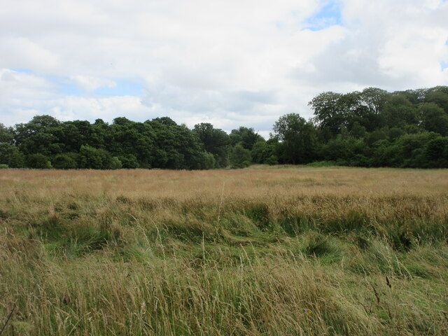
Chapel Knowe is a prominent hill located in the historical county of Clackmannanshire, Scotland. Situated near the village of Dollar, this distinctive landmark stands at an elevation of approximately 290 meters (951 feet) above sea level. It is often referred to as "The Knowe" by local residents.
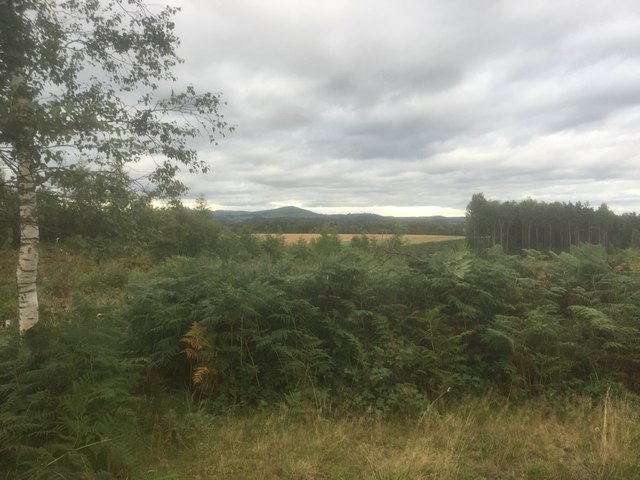
Covered in lush green vegetation, Chapel Knowe offers stunning panoramic views of the surrounding area. From its summit, one can admire the picturesque landscapes of the Ochil Hills, the Forth Valley, and the distant peaks of the Trossachs. On clear days, the iconic Wallace Monument and Stirling Castle can also be seen in the distance.
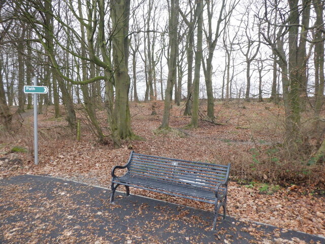
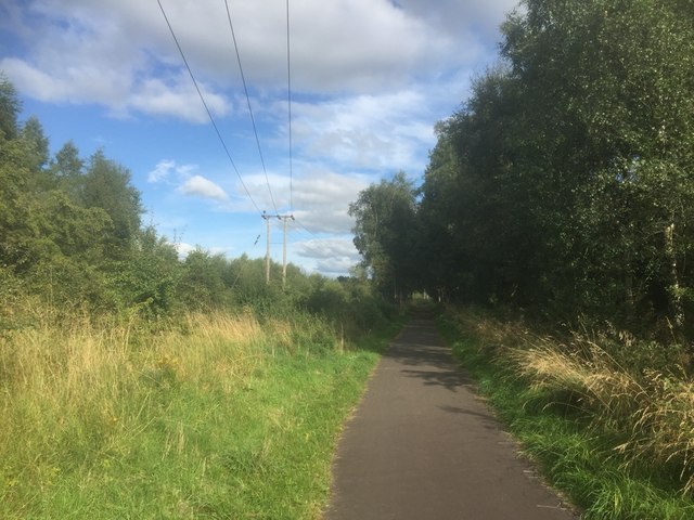
The hill is a popular destination for outdoor enthusiasts and nature lovers. It boasts a network of hiking trails that cater to various difficulty levels, allowing visitors to explore its diverse flora and fauna. Chapel Knowe is particularly known for its vibrant display of wildflowers during the spring and summer months.
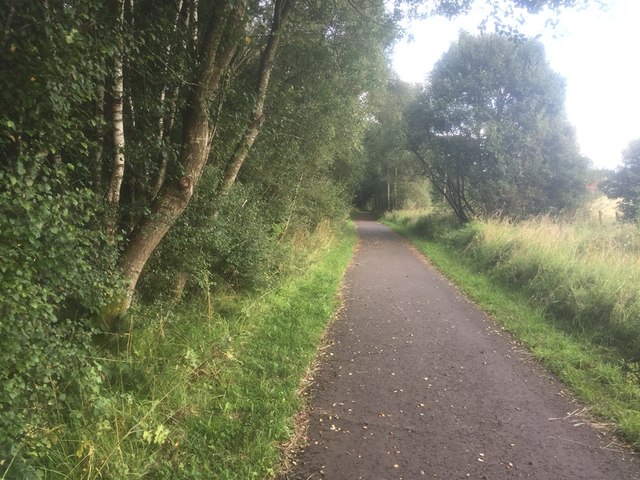
At the foot of this hill lies the historic Dollar Glen, a natural gorge carved by the Burn of Sorrow. The glen is home to an array of wildlife including red squirrels, deer, and a variety of bird species. Visitors can embark on a scenic walk through the glen, crossing its charming wooden footbridges and enjoying the tranquil atmosphere.
Chapel Knowe is a cherished landmark in Clackmannanshire, attracting both locals and tourists alike. Its natural beauty, extensive walking trails, and captivating vistas make it a must-visit destination for those seeking a serene and picturesque outdoor experience.
If you have any feedback on the listing, please let us know in the comments section below.
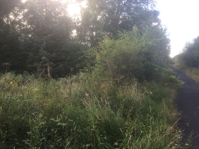
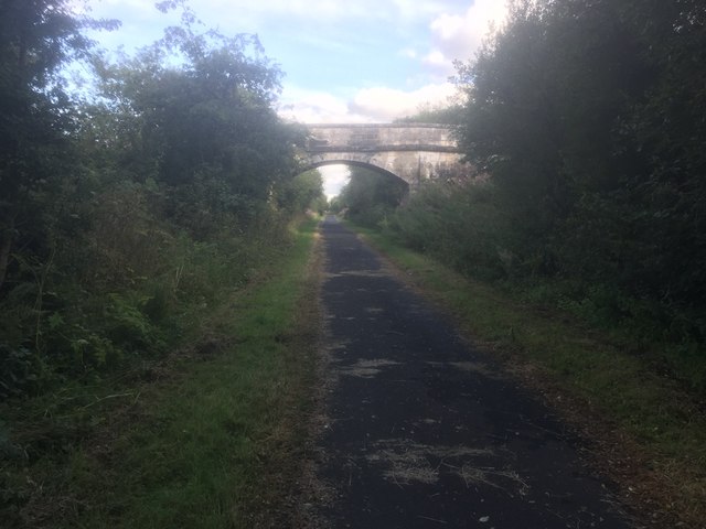
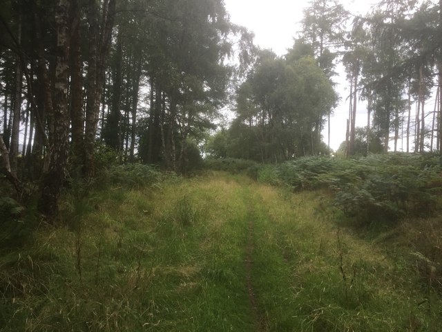
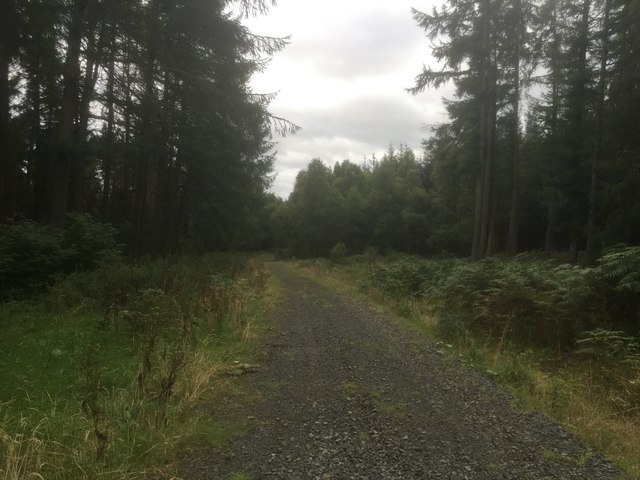
Chapel Knowe Images
Images are sourced within 2km of 56.103596/-3.6966836 or Grid Reference NS9491. Thanks to Geograph Open Source API. All images are credited.


Chapel Knowe is located at Grid Ref: NS9491 (Lat: 56.103596, Lng: -3.6966836)
Unitary Authority: Clackmannanshire
Police Authority: Forth Valley
What 3 Words
///trespass.buzzing.poster. Near Clackmannan, Clackmannanshire
Nearby Locations
Related Wikis

Brucefield House
Brucefield is an 18th-century country house in Clackmannanshire, Scotland. It is located 4 kilometres (2.5 mi) east of Clackmannan. The house was largely...

Forest Mill railway station
Forest Mill railway station served the hamlet of Forestmill, Clackmannanshire, Scotland from 1850 to 1930 on the Stirling and Dunfermline Railway. ��2...
Kennet, Clackmannanshire
Kennet is a small former coal-mining village in Clackmannanshire, Scotland. It is located 1.5 kilometres (0.93 mi) south-east of Clackmannan, by the Kincardine...
Kilbagie railway station
Kilbagie railway station served the town of Clackmannan, Clackmannanshire, Scotland from 1894 to 1930 on the Kincardine Line. == History == The station...
Forestmill
Forestmill (or Forest Mill) is a small hamlet in the county of Clackmannanshire, Scotland. It is situated on the A977 road between Kincardine and Kinross...
Clackmannan Road railway station
Clackmannan Road railway station served the town of Clackmannan, Clackmannanshire, Scotland from 1850 to 1921 on the Stirling and Dunfermline Railway....

Bogside (Fife) railway station
Bogside (Fife) railway station served the hamlet of Bogside, Fife, Scotland from 1850 to 1958 on the Stirling and Dunfermline Railway. == History == The...

Clackmannan and Kennet railway station
Clackmannan and Kennet railway station served the town of Clackmannan, Clackmannanshire from 1893 to 1930 on the Kincardine Line. == History == The station...
Nearby Amenities
Located within 500m of 56.103596,-3.6966836Have you been to Chapel Knowe?
Leave your review of Chapel Knowe below (or comments, questions and feedback).