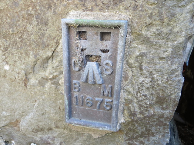
Bryn Mawr

Hill, Mountain in Montgomeryshire

Wales

Bryn Mawr

Ordnance Survey Flush Bracket 11675 This can be found on a former mill building, now a private dwelling, at Cwmbelan.
For more detail see : <span class="nowrap"><a title="http://www.bench-marks.org.uk/bm22570" rel="nofollow ugc noopener" href="http://www.bench-marks.org.uk/bm22570">Link</a><img style="margin-left:2px;" alt="External link" title="External link - shift click to open in new window" src="https://s1.geograph.org.uk/img/external.png" width="10" height="10"/></span>
Ordnance Survey Flush Bracket 11675 Credit: Peter Wood

The requested URL returned error: 429 Too Many Requests

If you have any feedback on the listing, please let us know in the comments section below.
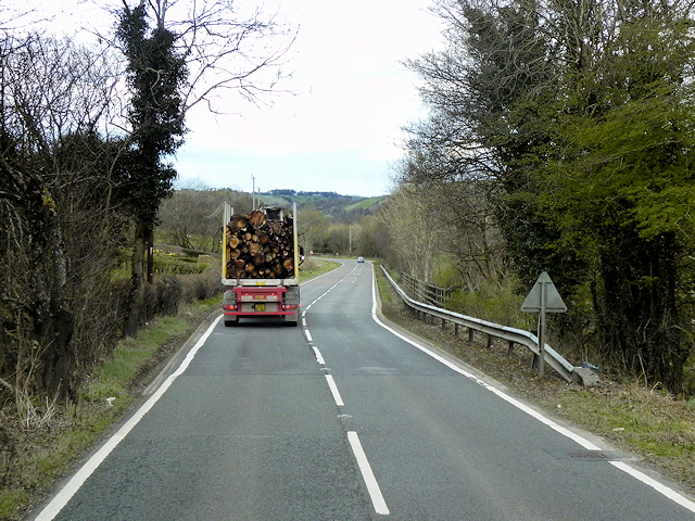
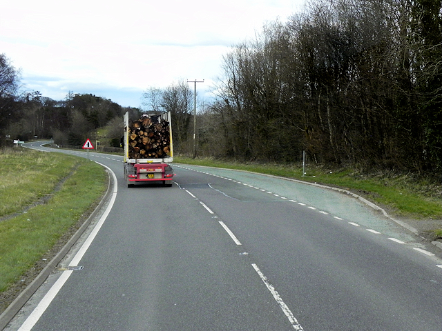
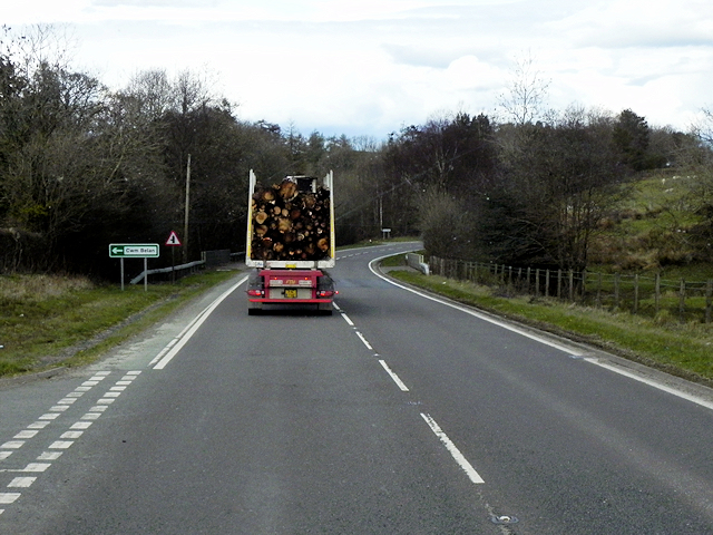
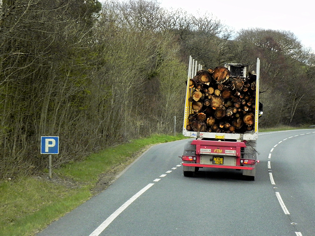
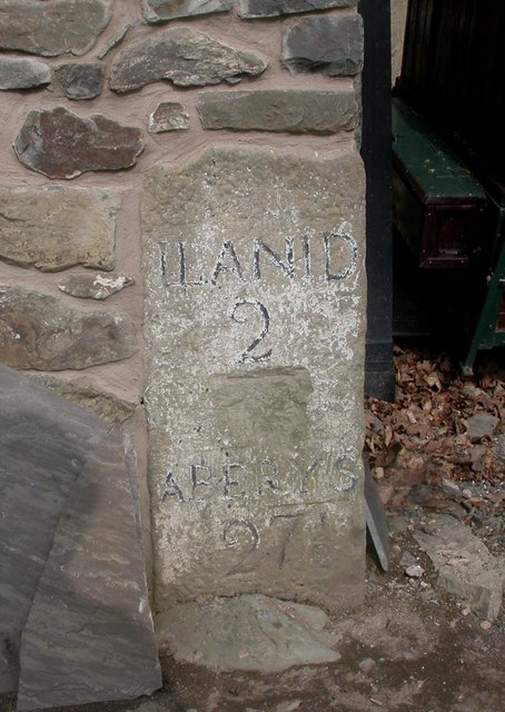
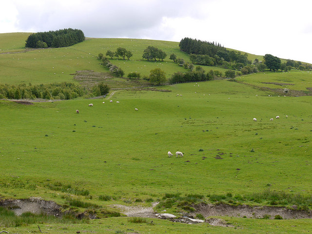
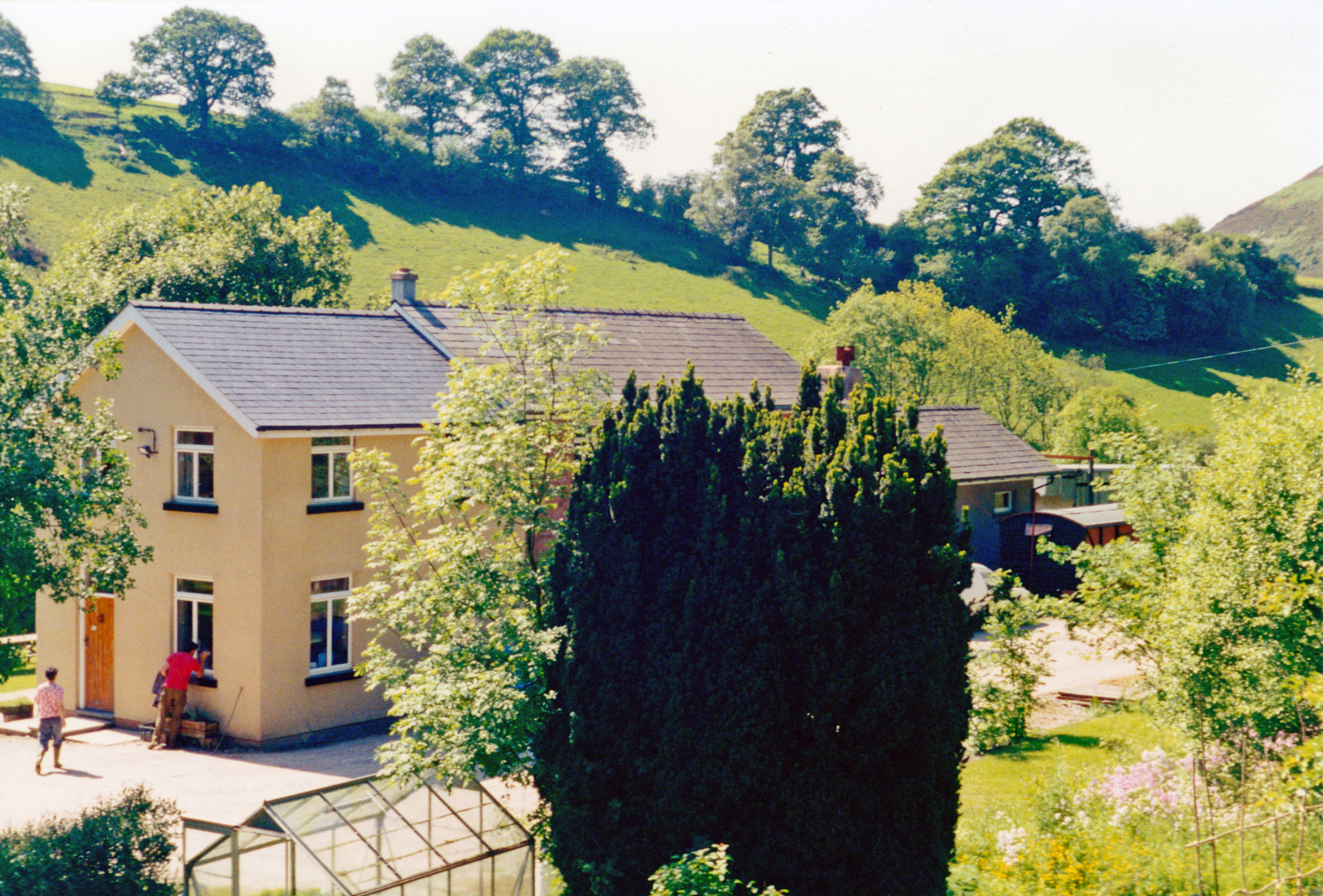
Bryn Mawr Images

Images are sourced within 2km of 52.410249/-3.5526946 or Grid Reference SN9480. Thanks to Geograph Open Source API. All images are credited.

Ordnance Survey Flush Bracket 11675 This can be found on a former mill building, now a private dwelling, at Cwmbelan.
For more detail see : <span class="nowrap"><a title="http://www.bench-marks.org.uk/bm22570" rel="nofollow ugc noopener" href="http://www.bench-marks.org.uk/bm22570">Link</a><img style="margin-left:2px;" alt="External link" title="External link - shift click to open in new window" src="https://s1.geograph.org.uk/img/external.png" width="10" height="10"/></span>
Ordnance Survey Flush Bracket 11675
This can be found on a former mill building, now a private dwelling, at Cwmbelan. For more detail see : LinkExternal link
Layby on Southbound A470 The A470, also known as the Cardiff to Glan Conwy Trunk Road, is the major long-distance road in Wales, from Cardiff on the south coast to Llandudno on the north coast. It is 185 miles long, and has undergone considerable road improvement in the last two decades. While previously one had to navigate the narrow roads of Llanidloes and Dolgellau, both these market towns are now bypassed due to extensive road modernisation.

The road travels through two of Wales's national parks, the Brecon Beacons in the South and Snowdonia National Park, starting just south of Dinas Mawddwy in the North. It is a primary trunk route throughout its length, and the southernmost 26 miles, from Cardiff Bay to Merthyr Tydfil, is mainly direct and good quality dual carriageway, but most of the route from north of Merthyr to Llandudno is single carriageway.
<span class="nowrap"><a title="http://www.sabre-roads.org.uk/wiki/index.php?title=A470" rel="nofollow ugc noopener" href="http://www.sabre-roads.org.uk/wiki/index.php?title=A470">Link</a><img style="margin-left:2px;" alt="External link" title="External link - shift click to open in new window" src="https://s1.geograph.org.uk/img/external.png" width="10" height="10"/></span>  SABRE
Layby on Southbound A470
The A470, also known as the Cardiff to Glan Conwy Trunk Road, is the major long-distance road in Wales, from Cardiff on the south coast to Llandudno on the north coast. It is 185 miles long, and has undergone considerable road improvement in the last two decades. While previously one had to navigate the narrow roads of Llanidloes and Dolgellau, both these market towns are now bypassed due to extensive road modernisation. The road travels through two of Wales's national parks, the Brecon Beacons in the South and Snowdonia National Park, starting just south of Dinas Mawddwy in the North. It is a primary trunk route throughout its length, and the southernmost 26 miles, from Cardiff Bay to Merthyr Tydfil, is mainly direct and good quality dual carriageway, but most of the route from north of Merthyr to Llandudno is single carriageway. LinkExternal link SABRE
Northbound A470 between Llangurig and Cwmbelan The A470, also known as the Cardiff to Glan Conwy Trunk Road, is the major long-distance road in Wales, from Cardiff on the south coast to Llandudno on the north coast. It is 185 miles long, and has undergone considerable road improvement in the last two decades. While previously one had to navigate the narrow roads of Llanidloes and Dolgellau, both these market towns are now bypassed due to extensive road modernisation.

The road travels through two of Wales's national parks, the Brecon Beacons in the South and Snowdonia National Park, starting just south of Dinas Mawddwy in the North. It is a primary trunk route throughout its length, and the southernmost 26 miles, from Cardiff Bay to Merthyr Tydfil, is mainly direct and good quality dual carriageway, but most of the route from north of Merthyr to Llandudno is single carriageway.
<span class="nowrap"><a title="http://www.sabre-roads.org.uk/wiki/index.php?title=A470" rel="nofollow ugc noopener" href="http://www.sabre-roads.org.uk/wiki/index.php?title=A470">Link</a><img style="margin-left:2px;" alt="External link" title="External link - shift click to open in new window" src="https://s1.geograph.org.uk/img/external.png" width="10" height="10"/></span>  SABRE
Northbound A470 between Llangurig and Cwmbelan
The A470, also known as the Cardiff to Glan Conwy Trunk Road, is the major long-distance road in Wales, from Cardiff on the south coast to Llandudno on the north coast. It is 185 miles long, and has undergone considerable road improvement in the last two decades. While previously one had to navigate the narrow roads of Llanidloes and Dolgellau, both these market towns are now bypassed due to extensive road modernisation. The road travels through two of Wales's national parks, the Brecon Beacons in the South and Snowdonia National Park, starting just south of Dinas Mawddwy in the North. It is a primary trunk route throughout its length, and the southernmost 26 miles, from Cardiff Bay to Merthyr Tydfil, is mainly direct and good quality dual carriageway, but most of the route from north of Merthyr to Llandudno is single carriageway. LinkExternal link SABRE
Layby on Southbound A470 between Cwmbelan and Llangurig The A470, also known as the Cardiff to Glan Conwy Trunk Road, is the major long-distance road in Wales, from Cardiff on the south coast to Llandudno on the north coast. It is 185 miles long, and has undergone considerable road improvement in the last two decades. While previously one had to navigate the narrow roads of Llanidloes and Dolgellau, both these market towns are now bypassed due to extensive road modernisation.

The road travels through two of Wales's national parks, the Brecon Beacons in the South and Snowdonia National Park, starting just south of Dinas Mawddwy in the North. It is a primary trunk route throughout its length, and the southernmost 26 miles, from Cardiff Bay to Merthyr Tydfil, is mainly direct and good quality dual carriageway, but most of the route from north of Merthyr to Llandudno is single carriageway.
<span class="nowrap"><a title="http://www.sabre-roads.org.uk/wiki/index.php?title=A470" rel="nofollow ugc noopener" href="http://www.sabre-roads.org.uk/wiki/index.php?title=A470">Link</a><img style="margin-left:2px;" alt="External link" title="External link - shift click to open in new window" src="https://s1.geograph.org.uk/img/external.png" width="10" height="10"/></span>  SABRE
Layby on Southbound A470 between Cwmbelan and Llangurig
The A470, also known as the Cardiff to Glan Conwy Trunk Road, is the major long-distance road in Wales, from Cardiff on the south coast to Llandudno on the north coast. It is 185 miles long, and has undergone considerable road improvement in the last two decades. While previously one had to navigate the narrow roads of Llanidloes and Dolgellau, both these market towns are now bypassed due to extensive road modernisation. The road travels through two of Wales's national parks, the Brecon Beacons in the South and Snowdonia National Park, starting just south of Dinas Mawddwy in the North. It is a primary trunk route throughout its length, and the southernmost 26 miles, from Cardiff Bay to Merthyr Tydfil, is mainly direct and good quality dual carriageway, but most of the route from north of Merthyr to Llandudno is single carriageway. LinkExternal link SABRE
Northbound A470 near to Cwmbelan, The A470, also known as the Cardiff to Glan Conwy Trunk Road, is the major long-distance road in Wales, from Cardiff on the south coast to Llandudno on the north coast. It is 185 miles long, and has undergone considerable road improvement in the last two decades. While previously one had to navigate the narrow roads of Llanidloes and Dolgellau, both these market towns are now bypassed due to extensive road modernisation.

The road travels through two of Wales's national parks, the Brecon Beacons in the South and Snowdonia National Park, starting just south of Dinas Mawddwy in the North. It is a primary trunk route throughout its length, and the southernmost 26 miles, from Cardiff Bay to Merthyr Tydfil, is mainly direct and good quality dual carriageway, but most of the route from north of Merthyr to Llandudno is single carriageway.
<span class="nowrap"><a title="http://www.sabre-roads.org.uk/wiki/index.php?title=A470" rel="nofollow ugc noopener" href="http://www.sabre-roads.org.uk/wiki/index.php?title=A470">Link</a><img style="margin-left:2px;" alt="External link" title="External link - shift click to open in new window" src="https://s1.geograph.org.uk/img/external.png" width="10" height="10"/></span>  SABRE
Northbound A470 near to Cwmbelan,
The A470, also known as the Cardiff to Glan Conwy Trunk Road, is the major long-distance road in Wales, from Cardiff on the south coast to Llandudno on the north coast. It is 185 miles long, and has undergone considerable road improvement in the last two decades. While previously one had to navigate the narrow roads of Llanidloes and Dolgellau, both these market towns are now bypassed due to extensive road modernisation. The road travels through two of Wales's national parks, the Brecon Beacons in the South and Snowdonia National Park, starting just south of Dinas Mawddwy in the North. It is a primary trunk route throughout its length, and the southernmost 26 miles, from Cardiff Bay to Merthyr Tydfil, is mainly direct and good quality dual carriageway, but most of the route from north of Merthyr to Llandudno is single carriageway. LinkExternal link SABRE
Layby on Northbound A470 near to Cwmbelan The A470, also known as the Cardiff to Glan Conwy Trunk Road, is the major long-distance road in Wales, from Cardiff on the south coast to Llandudno on the north coast. It is 185 miles long, and has undergone considerable road improvement in the last two decades. While previously one had to navigate the narrow roads of Llanidloes and Dolgellau, both these market towns are now bypassed due to extensive road modernisation.

The road travels through two of Wales's national parks, the Brecon Beacons in the South and Snowdonia National Park, starting just south of Dinas Mawddwy in the North. It is a primary trunk route throughout its length, and the southernmost 26 miles, from Cardiff Bay to Merthyr Tydfil, is mainly direct and good quality dual carriageway, but most of the route from north of Merthyr to Llandudno is single carriageway.
<span class="nowrap"><a title="http://www.sabre-roads.org.uk/wiki/index.php?title=A470" rel="nofollow ugc noopener" href="http://www.sabre-roads.org.uk/wiki/index.php?title=A470">Link</a><img style="margin-left:2px;" alt="External link" title="External link - shift click to open in new window" src="https://s1.geograph.org.uk/img/external.png" width="10" height="10"/></span>  SABRE
Layby on Northbound A470 near to Cwmbelan
The A470, also known as the Cardiff to Glan Conwy Trunk Road, is the major long-distance road in Wales, from Cardiff on the south coast to Llandudno on the north coast. It is 185 miles long, and has undergone considerable road improvement in the last two decades. While previously one had to navigate the narrow roads of Llanidloes and Dolgellau, both these market towns are now bypassed due to extensive road modernisation. The road travels through two of Wales's national parks, the Brecon Beacons in the South and Snowdonia National Park, starting just south of Dinas Mawddwy in the North. It is a primary trunk route throughout its length, and the southernmost 26 miles, from Cardiff Bay to Merthyr Tydfil, is mainly direct and good quality dual carriageway, but most of the route from north of Merthyr to Llandudno is single carriageway. LinkExternal link SABRE
Old Milestone by the former A470, Cwmbelan By the UC road (was A470), in parish of Llangurig (Powys District), Cwmbelan, in corner of weather boarded cottage, West of bus stop/phone box. North side of road.

Inscription reads:- : LLANID(LOES) / 2 / ABERYS(TWYTH) / 27½ :

Surveyed 

Milestone Society National ID: MOT_LIAY02.
Old Milestone by the former A470, Cwmbelan
By the UC road (was A470), in parish of Llangurig (Powys District), Cwmbelan, in corner of weather boarded cottage, West of bus stop/phone box. North side of road. Inscription reads:- : LLANID(LOES) / 2 / ABERYS(TWYTH) / 27½ : Surveyed Milestone Society National ID: MOT_LIAY02.
Railway cutting west of the A470 This cutting of the Manchester and Milford Railway formed the approach to the bridge carrying the now A470 road over the railway. For a similar view taken 10 years later see <a href="https://www.geograph.org.uk/photo/968701">SN9280 : Old railway cutting east of Llangurig</a>.
Railway cutting west of the A470
This cutting of the Manchester and Milford Railway formed the approach to the bridge carrying the now A470 road over the railway. For a similar view taken 10 years later see SN9280 : Old railway cutting east of Llangurig.
Grazing on Foel Goch Typical mid Wales grazing land.
Grazing on Foel Goch
Typical mid Wales grazing land.
Minor road heading for Tylwch Away from the rush of the A470, this minor road is one of several providing access to the quiet and attractive mid Wales scenery.
Minor road heading for Tylwch
Away from the rush of the A470, this minor road is one of several providing access to the quiet and attractive mid Wales scenery.
Fields in the Nant Cae-garw valley On the very flat valley floor.
Fields in the Nant Cae-garw valley
On the very flat valley floor.
Fields by the Nant Cae-garw With a herd of cattle grazing peacefully by the stream.
Fields by the Nant Cae-garw
With a herd of cattle grazing peacefully by the stream.
Field near Dol-y-gors farm With some lush grass growing in it. Dol-y-gors is meadow-of-the-bog in English
Field near Dol-y-gors farm
With some lush grass growing in it. Dol-y-gors is meadow-of-the-bog in English
Road junction near Dol-y-gors farm Where a minor dead-end road which climbs up Foel Goch to the south joins the road to Tylwch. Part of Hendreaur farm can be seen ahead.
Road junction near Dol-y-gors farm
Where a minor dead-end road which climbs up Foel Goch to the south joins the road to Tylwch. Part of Hendreaur farm can be seen ahead.
View across the farm track to Nant-gwernog Seen from a minor lane between Tylwch and the A470 towards Llangurig.
View across the farm track to Nant-gwernog
Seen from a minor lane between Tylwch and the A470 towards Llangurig.
Foel Goch hillside
Foel Goch hillside
The lane to Cilgwyn-uchaf Which goes off to the right, in the centre of the photo.
The lane to Cilgwyn-uchaf
Which goes off to the right, in the centre of the photo.
Cottage near Dol-y-gors farm
Show me another place!

Bryn Mawr is located at Grid Ref: SN9480 (Lat: 52.410249, Lng: -3.5526946)

Unitary Authority: Powys

Police Authority: Dyfed Powys

What 3 Words

///backyards.dunk.hogs. Near Llanidloes, Powys

Nearby Locations

Bryn Mawr

Related Wikis

Tylwch

Tylwch is a small village in Powys, Wales. Tylwch lies south of the principal town of Llanidloes on the border of Montgomeryshire and Radnorshire. It lies...

Tylwch railway station

Tylwch railway station was a station in Tylwch, Powys, Wales. The station was closed in 1962.On 16 September 1899, an accident happened at the station...

Blaen-y-glyn

Blaen-y-glyn is an area in the community of Llangurig, Powys, Wales, which is 67 miles (108 km) from Cardiff and 160 miles (258 km) from London. Cadw-listed...

Mid and West Wales

Mid and West Wales or Mid and South West Wales is an ambiguous region of Wales that is sometimes used, consisting broadly of the preserved counties of...

Nearby Amenities

Located within 500m of 52.410249,-3.5526946
Building: yes
Lat/Long: 52.4096672/-3.5585354
The data included in this document is from www.openstreetmap.org. The data is made available under ODbL.

Have you been to Bryn Mawr?

Leave your review of Bryn Mawr below (or comments, questions and feedback).