Mynydd Tynewydd
Hill, Mountain in Glamorgan
Wales
Mynydd Tynewydd
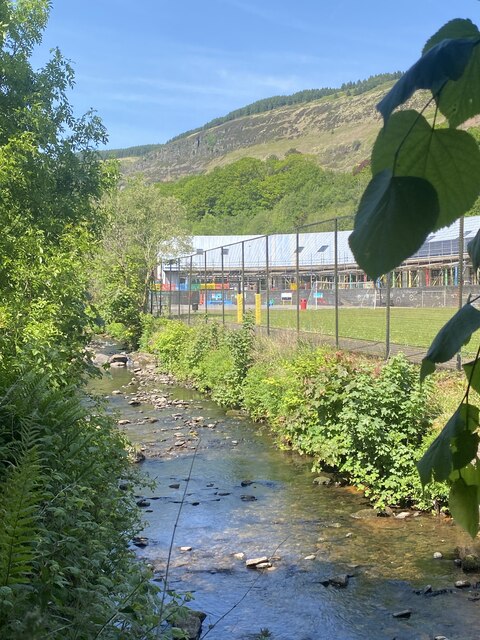
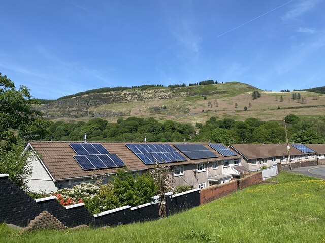
Mynydd Tynewydd is a prominent hill located in the county of Glamorgan, Wales. It is situated near the town of Porth and is part of the larger Rhondda Valley landscape. The hill stands at an elevation of approximately 1,008 feet (307 meters) above sea level, offering stunning panoramic views of the surrounding countryside.
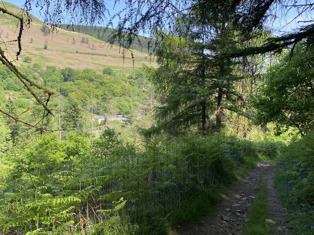
Mynydd Tynewydd is a popular destination for hikers and outdoor enthusiasts, with a network of walking trails that lead to the summit. The hill is known for its rugged terrain, rocky outcrops, and diverse flora and fauna. Visitors to Mynydd Tynewydd can expect to encounter a variety of wildlife, including birds of prey, sheep, and wild ponies.
The hill has historical significance, with evidence of ancient settlements and mining activity dating back to the Bronze Age. Remnants of old mine workings can still be seen on the slopes of Mynydd Tynewydd, providing a glimpse into the area's industrial past.
Overall, Mynydd Tynewydd offers a unique blend of natural beauty, recreational opportunities, and historical interest, making it a must-visit destination for anyone exploring the Glamorgan region.
If you have any feedback on the listing, please let us know in the comments section below.
Mynydd Tynewydd Images
Images are sourced within 2km of 51.693302/-3.5313873 or Grid Reference SN9400. Thanks to Geograph Open Source API. All images are credited.


Mynydd Tynewydd is located at Grid Ref: SN9400 (Lat: 51.693302, Lng: -3.5313873)
Unitary Authority: Rhondda Cynon Taf
Police Authority: South Wales
What 3 Words
///sprouting.ferrying.intrigues. Near Treherbert, Rhondda Cynon Taf
Nearby Locations
Related Wikis

Blaenrhondda Road Cutting
Blaenrhondda Road Cutting is a Site of Special Scientific Interest in Glamorgan, south Wales. Located along the A4061 road above the village of Blaenrhondda...
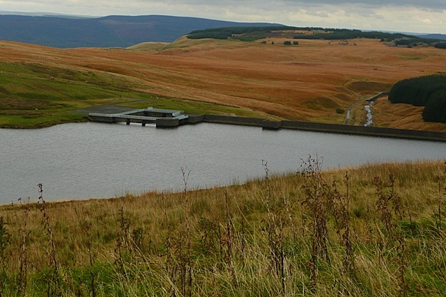
Lluest-wen Reservoir
Lluest-wen Reservoir (Welsh: Cronfa-ddwr Lluest-wen) is a reservoir at the top of the Rhondda Fach Valley (Welsh: Cwm Rhondda Fach), in the borough of...

Blaenrhondda
Blaenrhondda is a village in the county borough of Rhondda Cynon Taf, Wales, lying at the head the Rhondda Fawr valley. Blaenrhondda is a village and...
Tynewydd, Rhondda Cynon Taf
Tynewydd is a village located in the County Borough of Rhondda Cynon Taf, south Wales. With Treherbert, Blaencwm, Blaenrhondda and Pen-yr-englyn it is...
Nearby Amenities
Located within 500m of 51.693302,-3.5313873Have you been to Mynydd Tynewydd?
Leave your review of Mynydd Tynewydd below (or comments, questions and feedback).