Bryn Crugog

Hill, Mountain in Montgomeryshire

Wales

Bryn Crugog

Grazing in the Afon Trannon valley
Grazing in the Afon Trannon valley Credit: John M

The requested URL returned error: 429 Too Many Requests

If you have any feedback on the listing, please let us know in the comments section below.
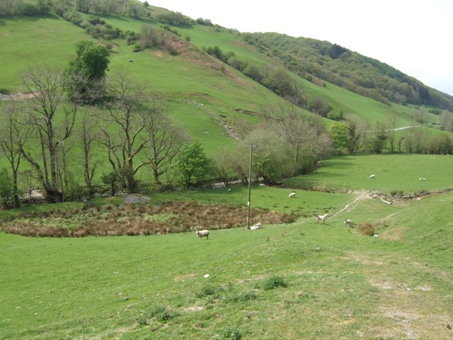
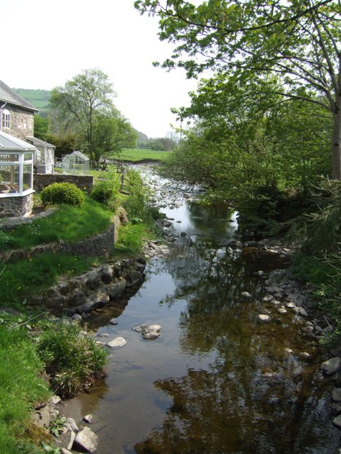
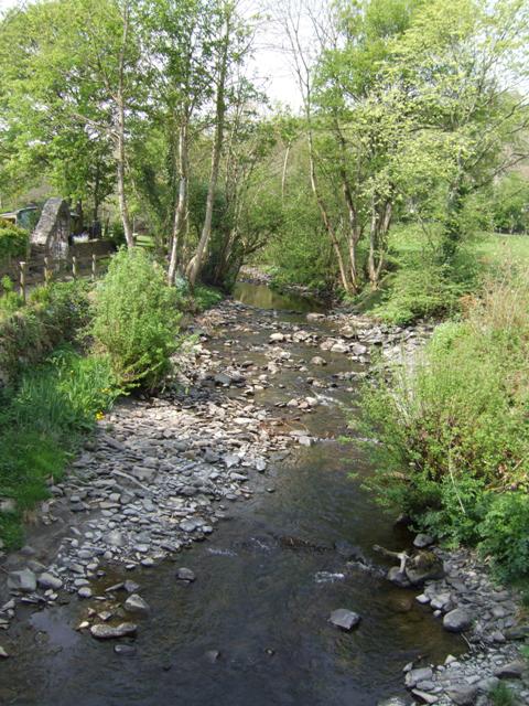
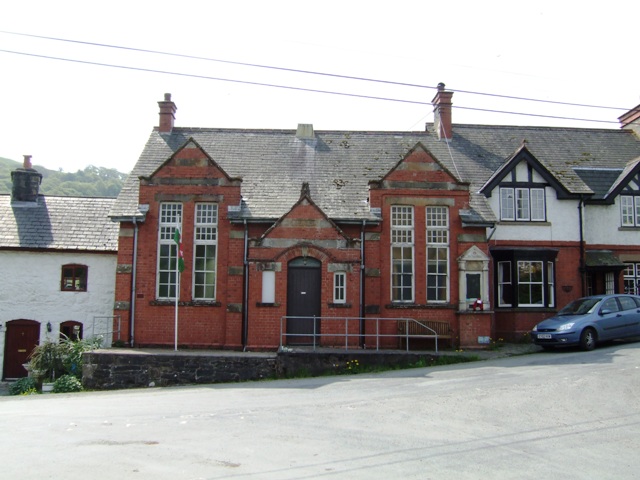
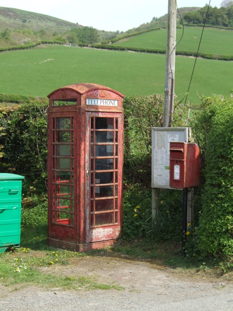
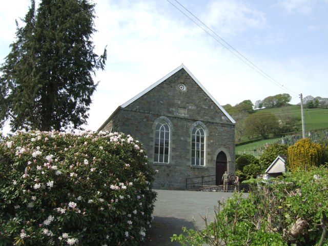
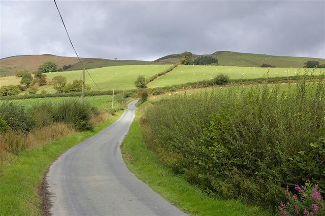
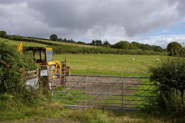
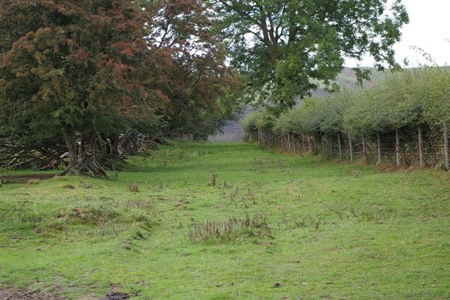
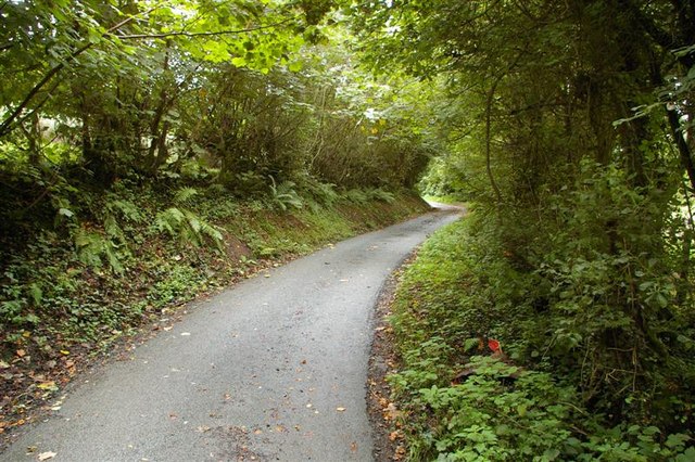
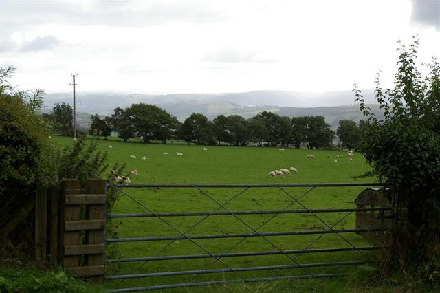
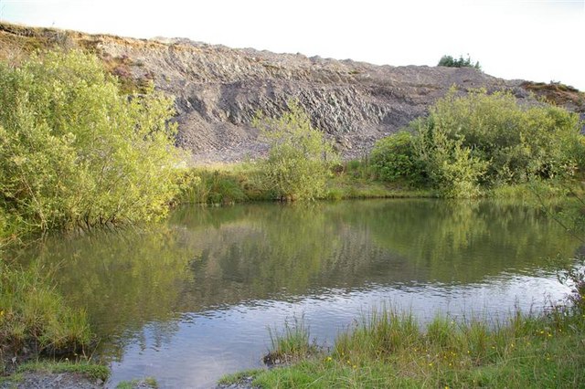
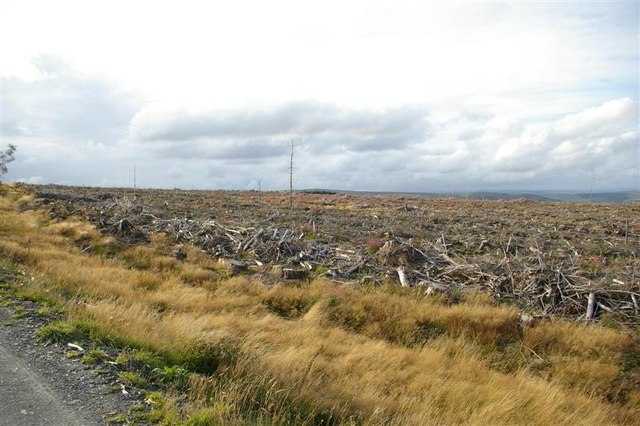
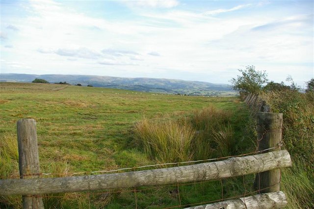
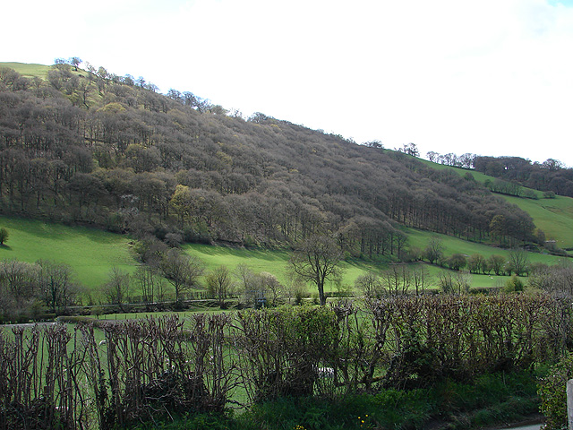
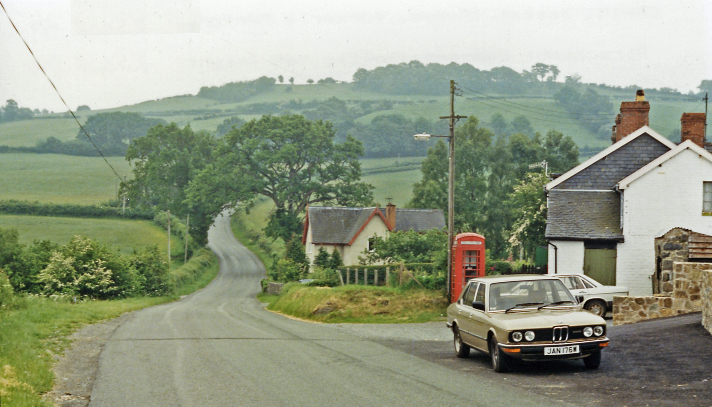
Bryn Crugog Images

Images are sourced within 2km of 52.518786/-3.5616339 or Grid Reference SN9492. Thanks to Geograph Open Source API. All images are credited.

Grazing in the Afon Trannon valley
Afon Trannon downstream at Llawr-y-glyn
Afon Trannon upstream at Llawr-y-glyn
School in Llawr-y-glyn Opened in 1909.
School in Llawr-y-glyn
Opened in 1909.
Telephone and Post Boxes A draughty example in the hills beside the Afon Trannon.
Telephone and Post Boxes
A draughty example in the hills beside the Afon Trannon.
Chapel in Llawr-y-glyn
Road around Waen High, fairly isolated table land W of Trefeglwys. Bryn Crugog (the right-most peak) lies in the next square west.
Road around Waen
High, fairly isolated table land W of Trefeglwys. Bryn Crugog (the right-most peak) lies in the next square west.
JCB ready for action! Rough hilly terrain needing all the mechanical help available! This is Waen, W of Trefeglwys
JCB ready for action!
Rough hilly terrain needing all the mechanical help available! This is Waen, W of Trefeglwys
Bleak high moorland on the Waen This bridleway leads across wild moorland. Sheep and forest.
Bleak high moorland on the Waen
This bridleway leads across wild moorland. Sheep and forest.
Old bridleway This old track looks like it was used centuries ago! Facing south, it runs down into the Trannon valley west of Trefeglwys
Old bridleway
This old track looks like it was used centuries ago! Facing south, it runs down into the Trannon valley west of Trefeglwys
Road with canopy! The small lanes around Waen often dip into little gulleys - quite steeply - and are completely covered by the growth of the hedgerows.
Road with canopy!
The small lanes around Waen often dip into little gulleys - quite steeply - and are completely covered by the growth of the hedgerows.
A gate into another field of sheep Entirely typical field of sheep on this high ground W of Trefeglwys.
A gate into another field of sheep
Entirely typical field of sheep on this high ground W of Trefeglwys.
Quarry and small lake in harvested woodland Possibly this lake is not natural as is lies at the bottom of a small quarry. At 400m above sea level, it was easier to quarry their own shale than bring it up from the main roads.
Quarry and small lake in harvested woodland
Possibly this lake is not natural as is lies at the bottom of a small quarry. At 400m above sea level, it was easier to quarry their own shale than bring it up from the main roads.
Harvested forest Harvested woodland must be the bleakest scenery ever! It looks a complete mess, but the debris is an important habitat for wildlife. We often forget about trees as a cash-crop, but forestry is a massive industry. This has already been replanted and will look entirely different in 10 years' time. In twenty-five, or so, it will be back to this!
Harvested forest
Harvested woodland must be the bleakest scenery ever! It looks a complete mess, but the debris is an important habitat for wildlife. We often forget about trees as a cash-crop, but forestry is a massive industry. This has already been replanted and will look entirely different in 10 years' time. In twenty-five, or so, it will be back to this!
Sheep at 400m At 400m above sea level, you can keep sheep, or grow trees. The choice is yours!
Sheep at 400m
At 400m above sea level, you can keep sheep, or grow trees. The choice is yours!
Esgair y Groes 400m above sea level, but a home for sheep for a LONG time.
Esgair y Groes
400m above sea level, but a home for sheep for a LONG time.
Llwr y Glyn The bank of Afon Trannon (a tributary of the Cerist and thence the Severn) can just be discerned in the centre of the view.
Llwr y Glyn
The bank of Afon Trannon (a tributary of the Cerist and thence the Severn) can just be discerned in the centre of the view.
Llwr y Glyn Afon Trannon flows through this valley.
Llwr y Glyn
Afon Trannon flows through this valley.
Show me another place!

Bryn Crugog is located at Grid Ref: SN9492 (Lat: 52.518786, Lng: -3.5616339)

Unitary Authority: Powys

Police Authority: Dyfed Powys

What 3 Words

///elsewhere.shampoo.steadier. Near Staylittle, Powys

Nearby Locations

Bryn Crugog

Related Wikis

Llawryglyn

Llawr y Glyn (or Llawryglyn) is a hamlet in Powys, Wales. It lies about 10 miles west of the town of Newtown, in the historic county of Montgomeryshire...

Trefeglwys

Trefeglwys is a village and community in Powys, Wales, within the historic county of Montgomeryshire. The name derives from the Welsh language tref 'township...

Carno wind farm

Carno is a wind farm of 68 turbines which started operation in October 1996. It covers an area of over 600 hectares on Trannon Moor, a plateau to the west...

Cerist railway station

Cerist railway station served the town of Llanidloes, in the historical county of Montgomeryshire, Wales, from 1873 to 1940 on the Van Railway. == History... ==

Nearby Amenities

Located within 500m of 52.518786,-3.5616339
Bryn Crugog
Created By: POI Editor
Natural: peak
Source: npe
Lat/Long: 52.518433/-3.5615189
Building: yes
Lat/Long: 52.5190947/-3.5684392
The data included in this document is from www.openstreetmap.org. The data is made available under ODbL.

Have you been to Bryn Crugog?

Leave your review of Bryn Crugog below (or comments, questions and feedback).