Quarme Hill

Hill, Mountain in Somerset Somerset West and Taunton

England

Quarme Hill

View across Lype Common
View across Lype Common Credit: thejackrustles

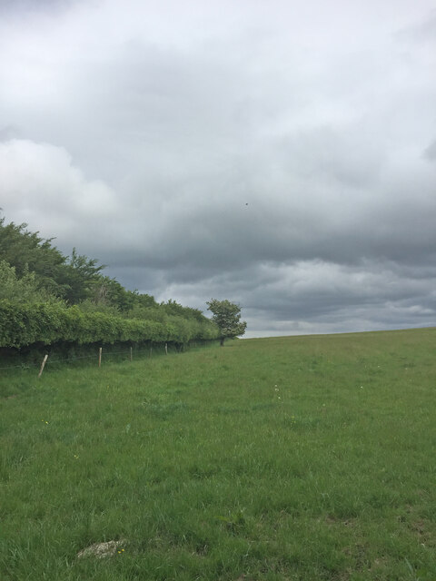
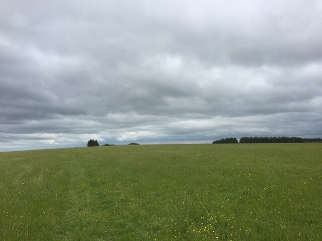
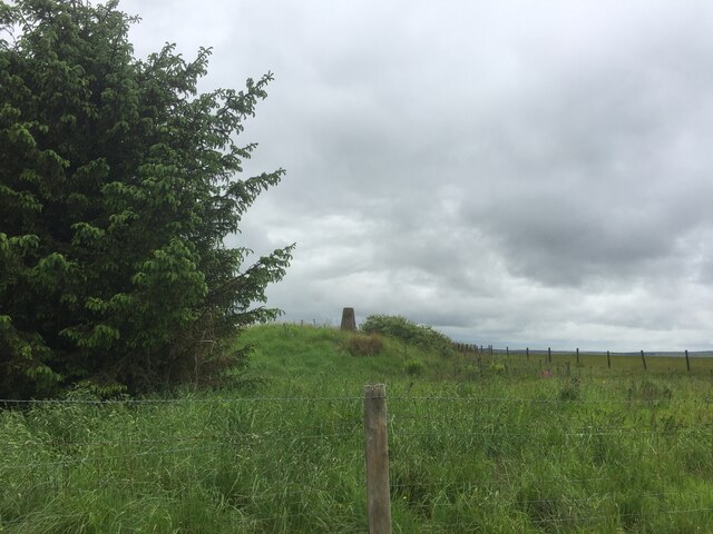
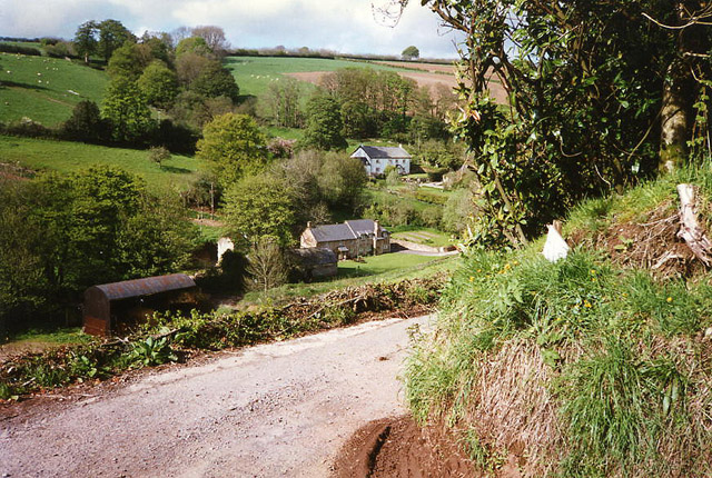
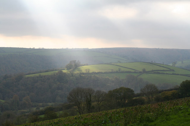
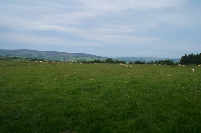
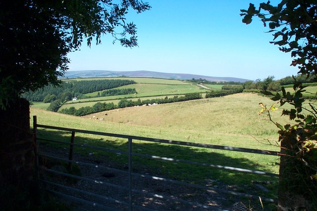
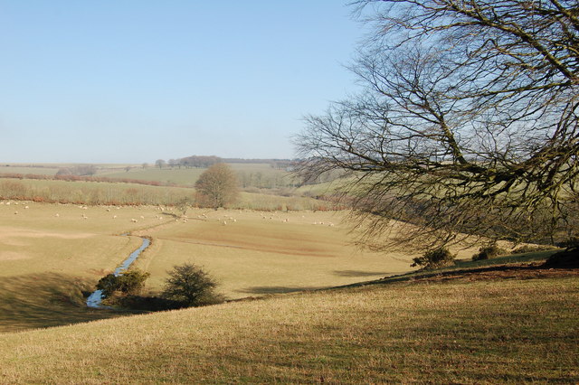
Quarme Hill is a prominent hill located in Somerset, England. Situated in the western part of the county, it lies within the Exmoor National Park, a designated area of outstanding natural beauty. The hill is part of the Brendon Hills, a range of hills known for their rugged beauty and stunning landscapes.

Rising to an elevation of approximately 1,180 feet (360 meters), Quarme Hill offers breathtaking panoramic views of the surrounding countryside. Its prominent position provides visitors with an excellent vantage point to admire the rolling hills, lush valleys, and picturesque villages that characterize the region.

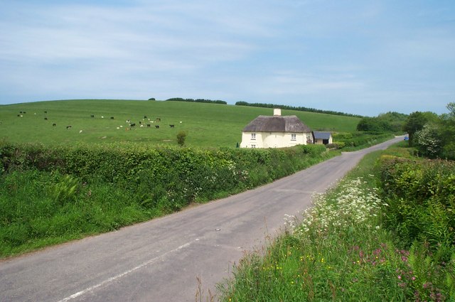
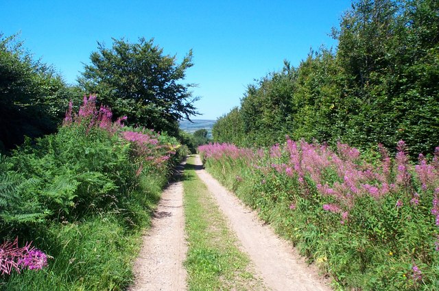
The hill is covered in dense vegetation, including heather, gorse, and grasses, which create a vibrant and colorful landscape throughout the year. It is also home to a diverse range of wildlife, such as deer, foxes, and various bird species, making it an ideal spot for nature enthusiasts and bird-watchers.

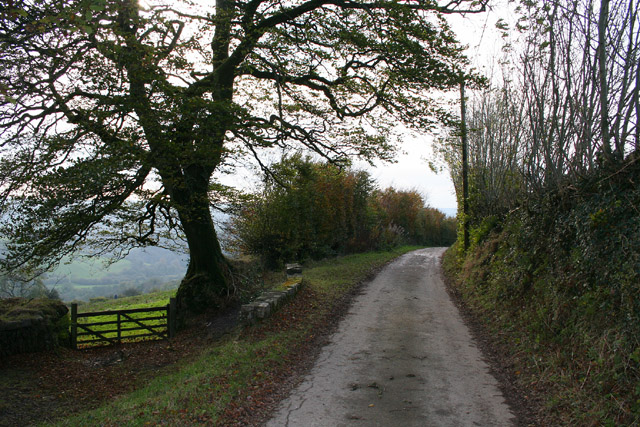
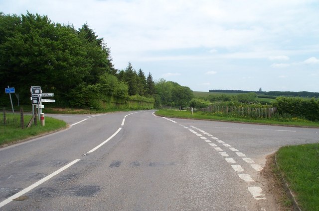
Quarme Hill is a popular destination for outdoor activities such as hiking, walking, and cycling. There are several well-marked trails and footpaths that lead to the summit, allowing visitors to explore the area and enjoy the stunning vistas. Additionally, the hill is adjacent to the famous Coleridge Way, a long-distance footpath that stretches for 51 miles (82 kilometers) and follows in the footsteps of the renowned poet Samuel Taylor Coleridge.

Whether you are seeking a peaceful retreat in nature or an adventure in the great outdoors, Quarme Hill offers a captivating and rewarding experience for visitors of all ages and interests.

If you have any feedback on the listing, please let us know in the comments section below.
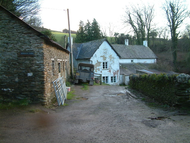
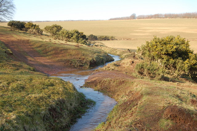
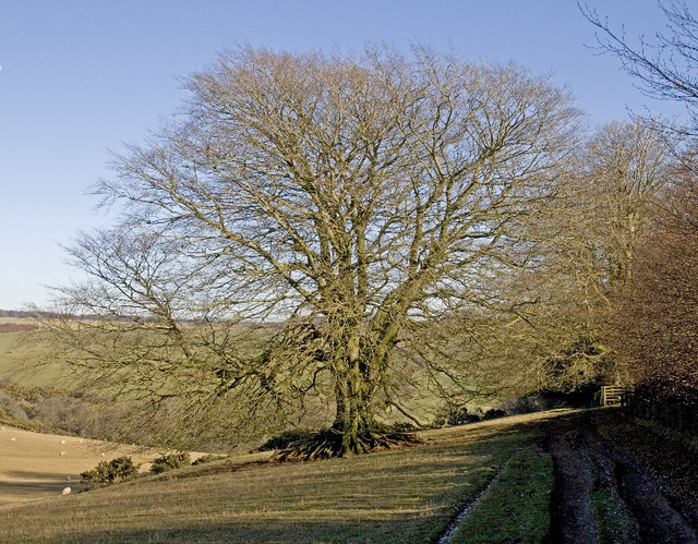
Quarme Hill Images

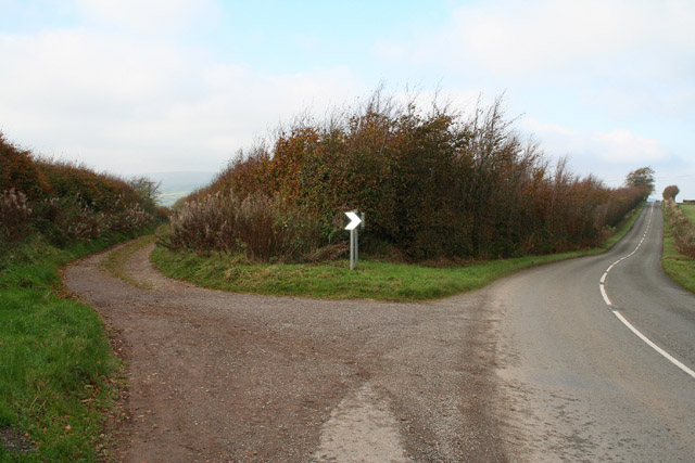
Images are sourced within 2km of 51.121389/-3.5176817 or Grid Reference SS9336. Thanks to Geograph Open Source API. All images are credited.

View across Lype Common
View towards Lype Hill Trig Point
Lype Hill Trig Point Flush Bracket S3930
Exton: Lower North Quarme and North Quarme A 12’ diameter waterwheel powered machinery installed in a barn at Lower North Quarme in the 1920s. The decayed wheel was still in situ when this photograph was taken in 1996, although the machinery had been removed. The farm is now a private residence
Exton: Lower North Quarme and North Quarme
A 12’ diameter waterwheel powered machinery installed in a barn at Lower North Quarme in the 1920s. The decayed wheel was still in situ when this photograph was taken in 1996, although the machinery had been removed. The farm is now a private residence
Cutcombe: Summerway Cross On the left is the ‘Hare Path’ or herepath. S H Burton, writing in 1969, saw this as one of the country’s most significant and ancient trackways. He claimed that it once linked Bristol and Gloucester with Barnstaple and Cornwall by way of the Quantocks, Exford and Simonsbath. Apparently the Saxons adopted the old route so that they could control the high ground to which they had driven the Celts, while they themselves occupied the lowland farmsteads. Here the track forms the boundary between Cutcome and Exton parishes. On the right the present-day road runs to Wheddon Cross. See <a href="https://www.geograph.org.uk/gridref/SS7340">SS7340</a> for another view of the track west of Simonsbath
Cutcombe: Summerway Cross
On the left is the ‘Hare Path’ or herepath. S H Burton, writing in 1969, saw this as one of the country’s most significant and ancient trackways. He claimed that it once linked Bristol and Gloucester with Barnstaple and Cornwall by way of the Quantocks, Exford and Simonsbath. Apparently the Saxons adopted the old route so that they could control the high ground to which they had driven the Celts, while they themselves occupied the lowland farmsteads. Here the track forms the boundary between Cutcome and Exton parishes. On the right the present-day road runs to Wheddon Cross. See SS7340 for another view of the track west of Simonsbath
Exton: near Stone Lane Exmoor’s heights in the distance, beyond the Quarme valley; a field of kale in the foreground. Looking south-west
Exton: near Stone Lane
Exmoor’s heights in the distance, beyond the Quarme valley; a field of kale in the foreground. Looking south-west
Exton: Stone Lane Looking west-south-west near Stone Lodge
Exton: Stone Lane
Looking west-south-west near Stone Lodge
Cottage north of Lype Hill On the road down to Timberscombe from Lype Hill
Cottage north of Lype Hill
On the road down to Timberscombe from Lype Hill
Bridleway at White Moor, near Lype Hill A public Bridleway, now part of the Coleridge Way long distance path, runs across this field from where the photo was taken. Obviously not used by horses, nor by many people!
Bridleway at White Moor, near Lype Hill
A public Bridleway, now part of the Coleridge Way long distance path, runs across this field from where the photo was taken. Obviously not used by horses, nor by many people!
Heath Poult Cross Looking east along the B3224, which runs along the top of the Brendon Hills
Heath Poult Cross
Looking east along the B3224, which runs along the top of the Brendon Hills
Telecoms Tower at Lype Common This massive tower dominates the skyline along the B3224 on the Brendon Hills. It is sited at one of the highest points, 400 metres above sea level.
Telecoms Tower at Lype Common
This massive tower dominates the skyline along the B3224 on the Brendon Hills. It is sited at one of the highest points, 400 metres above sea level.
Hare Path, a track near Wheddon Cross
Looking west from Quarme Lane In the foreground; Quarme Combe.In the distance; Dunkery Beacon.
Looking west from Quarme Lane
In the foreground; Quarme Combe.In the distance; Dunkery Beacon.
Kersham Farm
Kersham Farm
Beech tree next to footpath Probably once part of a "bank and hedge" dividing the field.
Beech tree next to footpath
Probably once part of a "bank and hedge" dividing the field.
View over sheep field from footpath The stream seems to be in an unnatural position in this sloping field. It looks well maintained or man-made.
View over sheep field from footpath
The stream seems to be in an unnatural position in this sloping field. It looks well maintained or man-made.
The footpath fords a small "stream" The "stream" looks more like a maintained leat as it flows across a sloping field. see <a href="https://www.geograph.org.uk/photo/691511">SS9435 : View over sheep field from footpath</a>
The footpath fords a small "stream"
The "stream" looks more like a maintained leat as it flows across a sloping field. see SS9435 : View over sheep field from footpath
Stope Lane Head The Samaritans Way passes between two mighty beech trees before skirting Beatland Plantation.
Stope Lane Head
The Samaritans Way passes between two mighty beech trees before skirting Beatland Plantation.
Show me another place!

Quarme Hill is located at Grid Ref: SS9336 (Lat: 51.121389, Lng: -3.5176817)

Administrative County: Somerset

District: Somerset West and Taunton

Police Authority: Avon and Somerset

What 3 Words

///link.collected.loosens. Near Dulverton, Somerset

Related Wikis

Brendon Hills

The Brendon Hills are a range of hills in west Somerset, England. The hills merge level into the eastern side of Exmoor and are included within the Exmoor...

Timberscombe

Timberscombe is a village and civil parish on the River Avill 2.5 miles (4 km) south-west of Dunster, and 5.5 miles (9 km) south of Minehead within the...

Cutcombe

Cutcombe is a village and civil parish 9 miles (14 km) south of Minehead and north of Dulverton straddling the ridge between Exmoor and the Brendon Hills...

Church of St John, Cutcombe

The Anglican Church of St John in Cutcombe, Somerset, England was built in the 13th and 14th centuries. It is a Grade II* listed building. == History... ==

Nearby Amenities

Located within 500m of 51.121389,-3.5176817
Heath Poult Cross
Junction: yes
Place: locality
Lat/Long: 51.1211621/-3.515228
Quarme Hill Cross
Place: locality
Lat/Long: 51.1214246/-3.5178351
Give Way
Lat/Long: 51.1211266/-3.5152139
Give Way
Lat/Long: 51.1212194/-3.515106
The data included in this document is from www.openstreetmap.org. The data is made available under ODbL.

Have you been to Quarme Hill?

Leave your review of Quarme Hill below (or comments, questions and feedback).