Gladsmuir Hills
Hill, Mountain in Midlothian
Scotland
Gladsmuir Hills

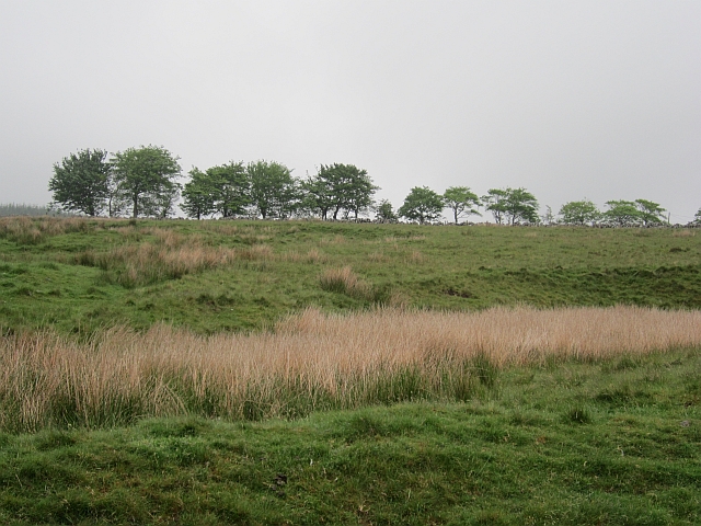
Gladsmuir Hills is a small hill located in the county of Midlothian, Scotland. Situated in the eastern part of the country, it is part of the broader geographical region known as the Southern Uplands. While not particularly high in elevation, standing at around 160 meters (525 feet), it offers stunning panoramic views of the surrounding countryside.
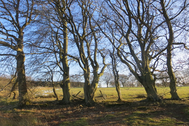
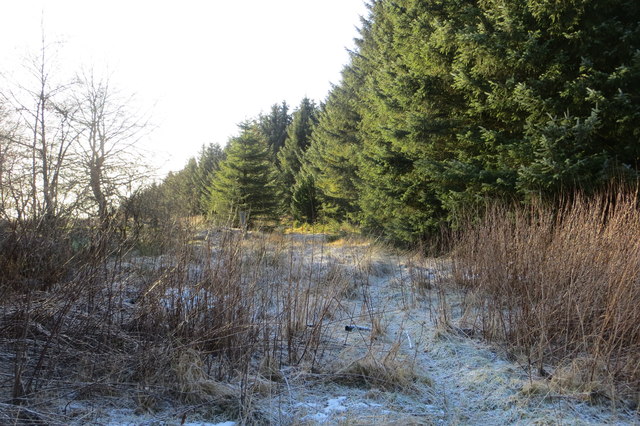
The hill is covered in lush green vegetation, with a mix of grasses, heather, and shrubs, creating a picturesque landscape. It is home to a variety of plant and animal species, including birds such as skylarks and kestrels, as well as several types of butterflies and moths.
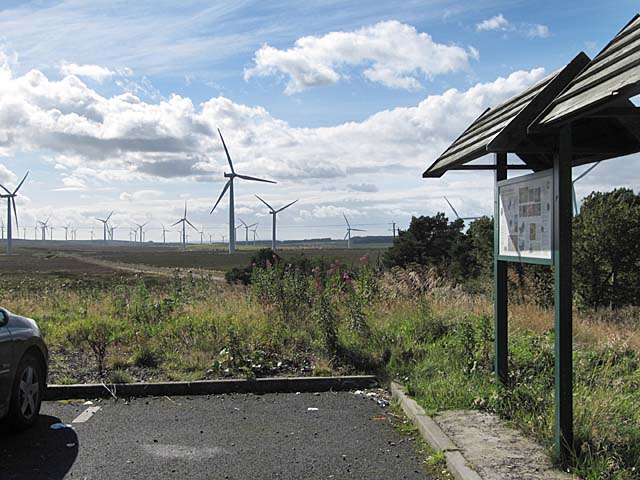
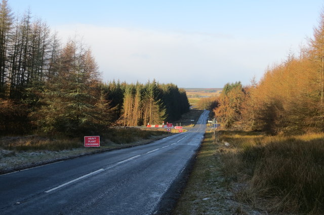
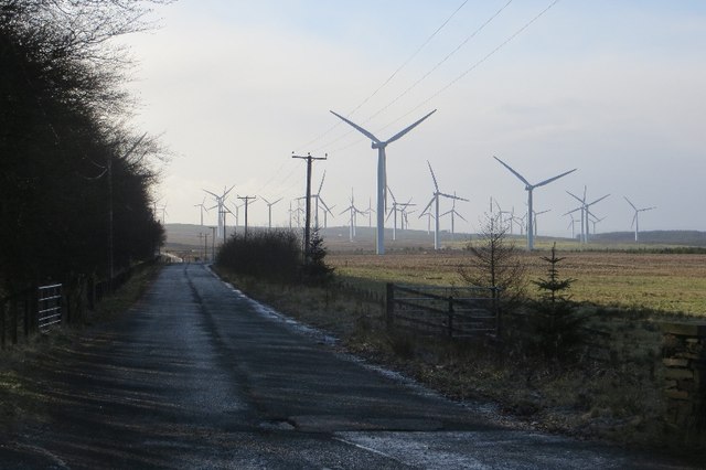
Gladsmuir Hills is a popular destination for hiking enthusiasts and nature lovers due to its accessibility and scenic beauty. There are several well-marked trails that wind their way up the hill, providing visitors with an opportunity to explore the area and enjoy its natural splendor. The paths are generally easy to navigate, making it suitable for people of all ages and fitness levels.
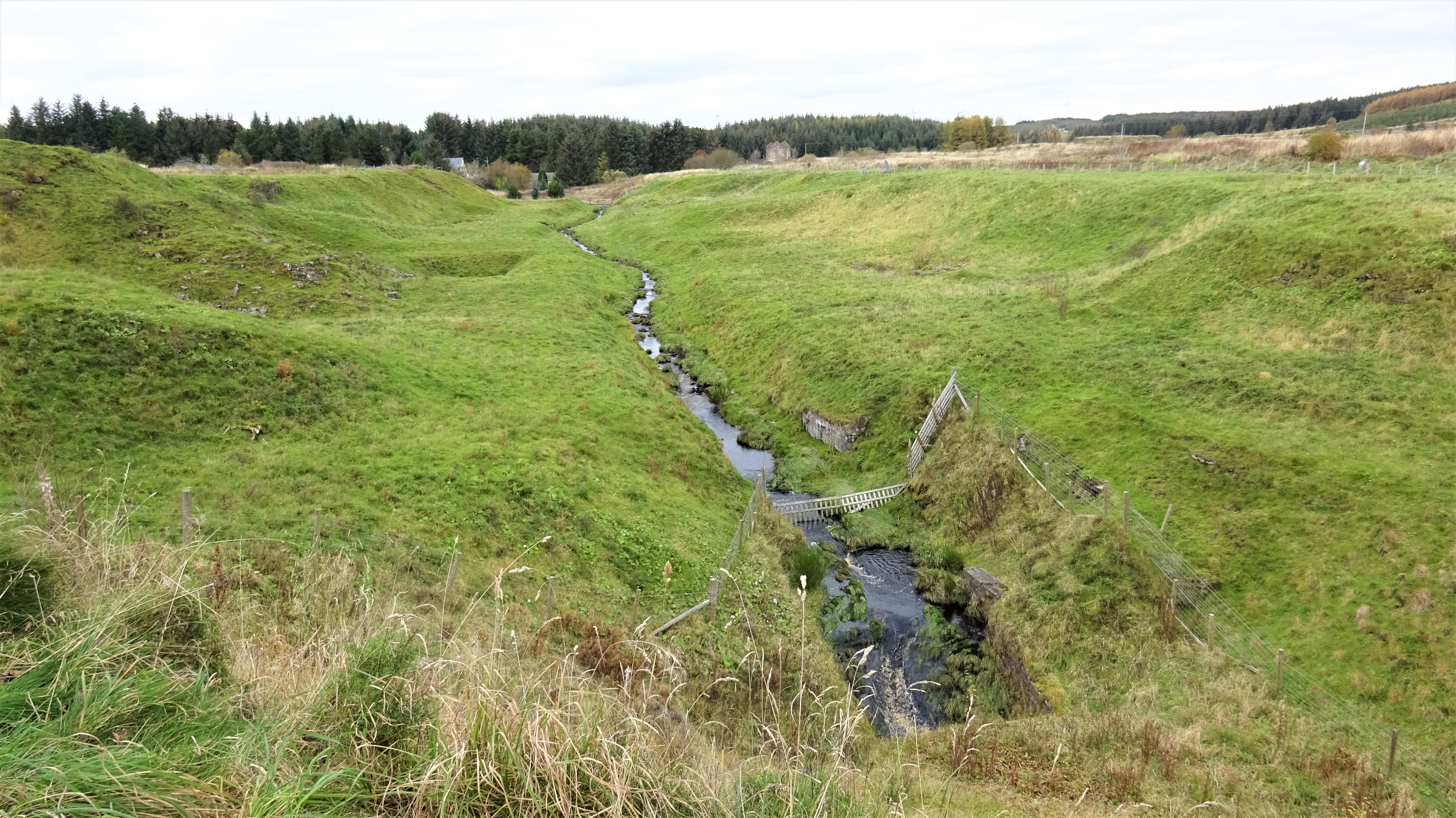
At the summit of Gladsmuir Hills, there is a small viewpoint where visitors can take in the breathtaking vistas of the surrounding countryside, including the nearby towns and villages. On clear days, it is even possible to catch a glimpse of the distant coastline.
Overall, Gladsmuir Hills offers a peaceful and tranquil setting for outdoor enthusiasts, providing a chance to connect with nature and enjoy the beauty of the Scottish landscape.
If you have any feedback on the listing, please let us know in the comments section below.
Gladsmuir Hills Images
Images are sourced within 2km of 55.794292/-3.7146947 or Grid Reference NS9256. Thanks to Geograph Open Source API. All images are credited.


Gladsmuir Hills is located at Grid Ref: NS9256 (Lat: 55.794292, Lng: -3.7146947)
Unitary Authority: West Lothian
Police Authority: The Lothians and Scottish Borders
What 3 Words
///harshest.display.amused. Near Forth, South Lanarkshire
Nearby Locations
Related Wikis

Headless Cross railway station
Headless Cross railway station or Headlesscross railway station was a station on the Wilsontown, Morningside and Coltness Railway (WM&CR) that served the...

Wilsontown railway station
Wilsontown railway station was the passenger terminus of the three and three quarter mile long Wilsontown Branch that ran from a bay platform at Auchengray...
Wilsontown Ironworks
The ruins of the Wilsontown Ironworks are located near the village of Forth in Lanarkshire in Scotland, approximately 23 miles (37 km) to the south east...
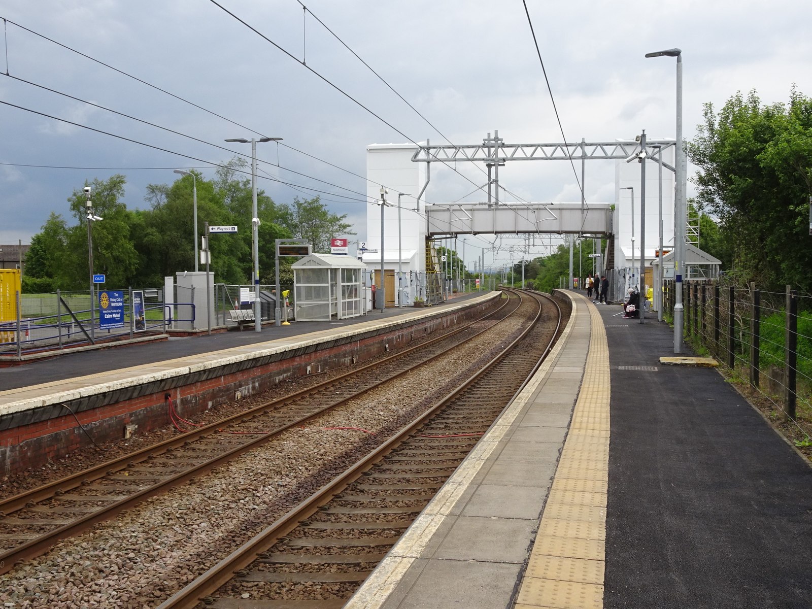
Fauldhouse railway station
Fauldhouse railway station is a railway station serving Fauldhouse in West Lothian, Scotland. It is located on the Shotts Line, 23¼ miles (37 km) west...
Nearby Amenities
Located within 500m of 55.794292,-3.7146947Have you been to Gladsmuir Hills?
Leave your review of Gladsmuir Hills below (or comments, questions and feedback).