Hook Green
Settlement in Kent Dartford
England
Hook Green

Hook Green is a small village located in the district of Sevenoaks, Kent, in southeastern England. Situated approximately 4 miles south of the town of Sevenoaks, Hook Green is surrounded by picturesque countryside, offering residents and visitors a tranquil and idyllic setting.
The village is known for its charming character and traditional English charm. It consists of a collection of quaint cottages and houses, some of which date back several centuries, giving a sense of the village's rich history. The architecture showcases the traditional Kentish style, with timber-framed buildings and white-washed facades.
Despite its small size, Hook Green offers a range of amenities for its residents. The village boasts a local pub, The White Rock Inn, which serves up traditional British pub fare and a welcoming atmosphere. Additionally, there is a village hall that serves as a community hub, hosting various events and activities throughout the year.
Surrounded by verdant meadows and rolling hills, Hook Green provides ample opportunities for outdoor activities. The village is close to several walking and cycling trails, allowing residents to explore the beautiful countryside at their leisure. Furthermore, the nearby Knole Park, a 1,000-acre deer park, is a popular destination for nature enthusiasts and history buffs alike.
Transport links in Hook Green are convenient, with easy access to the A21 and A25 roads, providing connections to nearby towns and cities. The village is also served by regular bus services, ensuring residents have access to wider amenities and transportation options.
Overall, Hook Green is a charming and peaceful village that offers a quintessential English countryside experience. Its idyllic setting, historic architecture, and community spirit make it an appealing place to live or visit for those seeking a slower-paced, rural lifestyle.
If you have any feedback on the listing, please let us know in the comments section below.
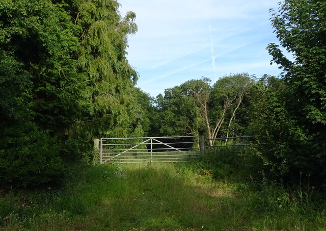
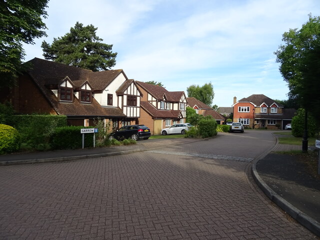
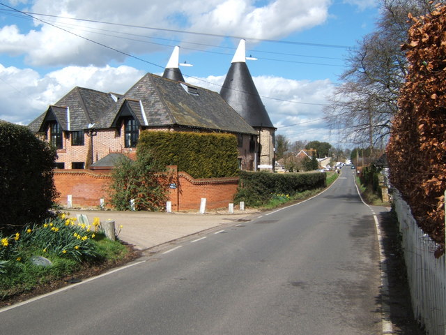
Hook Green Images
Images are sourced within 2km of 51.41037/0.31325808 or Grid Reference TQ6070. Thanks to Geograph Open Source API. All images are credited.


Hook Green is located at Grid Ref: TQ6070 (Lat: 51.41037, Lng: 0.31325808)
Administrative County: Kent
District: Dartford
Police Authority: Kent
What 3 Words
///belong.shift.landed. Near Longfield, Kent
Nearby Locations
Related Wikis

Southfleet
Southfleet is a small village and civil parish in the borough of Dartford in Kent, England. The village is located three miles southwest of Gravesend,...
Betsham
Betsham is a hamlet in the parish of Southfleet in Kent, England.Betsham is a mile north-west from the village of Southfleet, which is situated nearly...

Westwood, Southfleet
Westwood is a hamlet in the parish of Southfleet in Kent, England, in the west of the parish. It is one mile west of the village of Southfleet. In the...

Longfield Halt railway station
Longfield Halt (also known as Longfield Halt for Pinden and Westwood) was a railway station on the Gravesend West Line which served the settlement of Grubb...
DA postcode area
The DA postcode area, also known as the Dartford postcode area, is a group of eighteen postcode districts in England, within eleven post towns. These cover...

Longfield Academy, Kent
Longfield Academy is an academy school in Longfield, Kent, England. The academy is operated by Leigh Academies Trust and occupies the site where Longfield...
Southfleet railway station
Southfleet (also known as Southfleet for Springhead) was a railway station on the Gravesend West Line which served the small village of Southfleet in Kent...

Longfield Chalk Bank
Longfield Chalk Bank is a 2-hectare (4.9-acre) nature reserve in Longfield in Kent. It is managed by the Kent Wildlife Trust.This chalk grassland site...
Nearby Amenities
Located within 500m of 51.41037,0.31325808Have you been to Hook Green?
Leave your review of Hook Green below (or comments, questions and feedback).