Bryn-y-tail
Hill, Mountain in Montgomeryshire
Wales
Bryn-y-tail

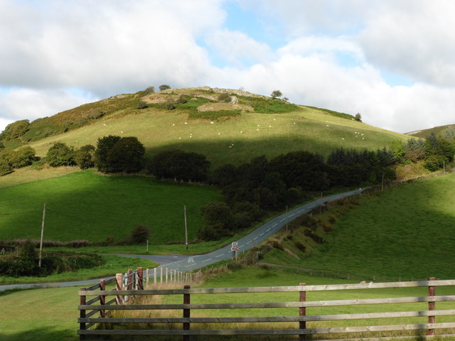
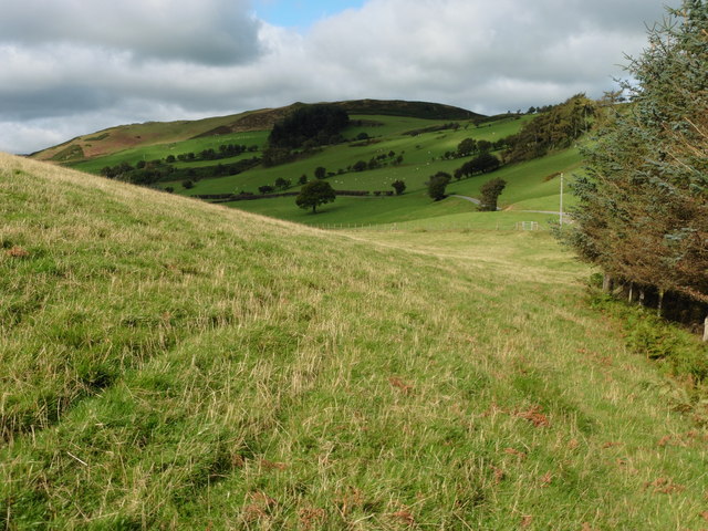
Bryn-y-tail is a hill located in Montgomeryshire, Wales. It is part of the Cambrian Mountains range and stands at an elevation of approximately 1,800 feet above sea level. The hill offers stunning panoramic views of the surrounding countryside, including lush green valleys, rolling hills, and quaint villages.
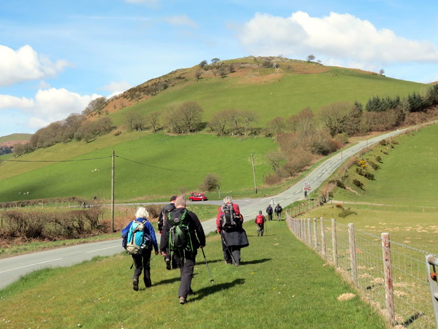
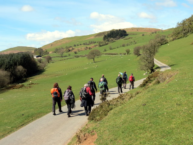
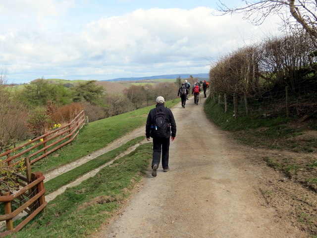
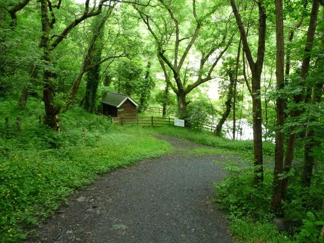
Bryn-y-tail is a popular destination for hikers and nature enthusiasts, with several walking trails leading to the summit. The hill is also home to a variety of wildlife, including birds of prey, red deer, and rare plant species.
The landscape of Bryn-y-tail is characterized by rugged terrain, rocky outcrops, and heather-covered slopes. The hill is rich in geological features, with evidence of ancient volcanic activity visible in the form of lava flows and basalt columns.
Visitors to Bryn-y-tail can enjoy a peaceful and secluded escape from the hustle and bustle of everyday life, immersing themselves in the natural beauty of the Welsh countryside. Whether taking a leisurely stroll or embarking on a more challenging hike, Bryn-y-tail offers a memorable outdoor experience for all who venture to its slopes.
If you have any feedback on the listing, please let us know in the comments section below.
Bryn-y-tail Images
Images are sourced within 2km of 52.474416/-3.5960173 or Grid Reference SN9187. Thanks to Geograph Open Source API. All images are credited.


![Ruined cottage, Bryntail Mine Lead was processed here in the early and mid 1800s, and from 1869 'white lead' or barytes [used in paint]. After struggling for many years the business collapsed in 1884.](https://s0.geograph.org.uk/geophotos/05/02/28/5022860_e2cae399.jpg)
![Ruined upper dressing building, Bryntail Mine Lead was processed here in the early and mid 1800s, and from 1869 'white lead' or barytes [used in paint]. After struggling for many years the business collapsed in 1884.](https://s2.geograph.org.uk/geophotos/05/02/28/5022870_c46894ee.jpg)
Bryn-y-tail is located at Grid Ref: SN9187 (Lat: 52.474416, Lng: -3.5960173)
Unitary Authority: Powys
Police Authority: Dyfed Powys
What 3 Words
///telephone.district.badly. Near Llanidloes, Powys
Nearby Locations
Related Wikis
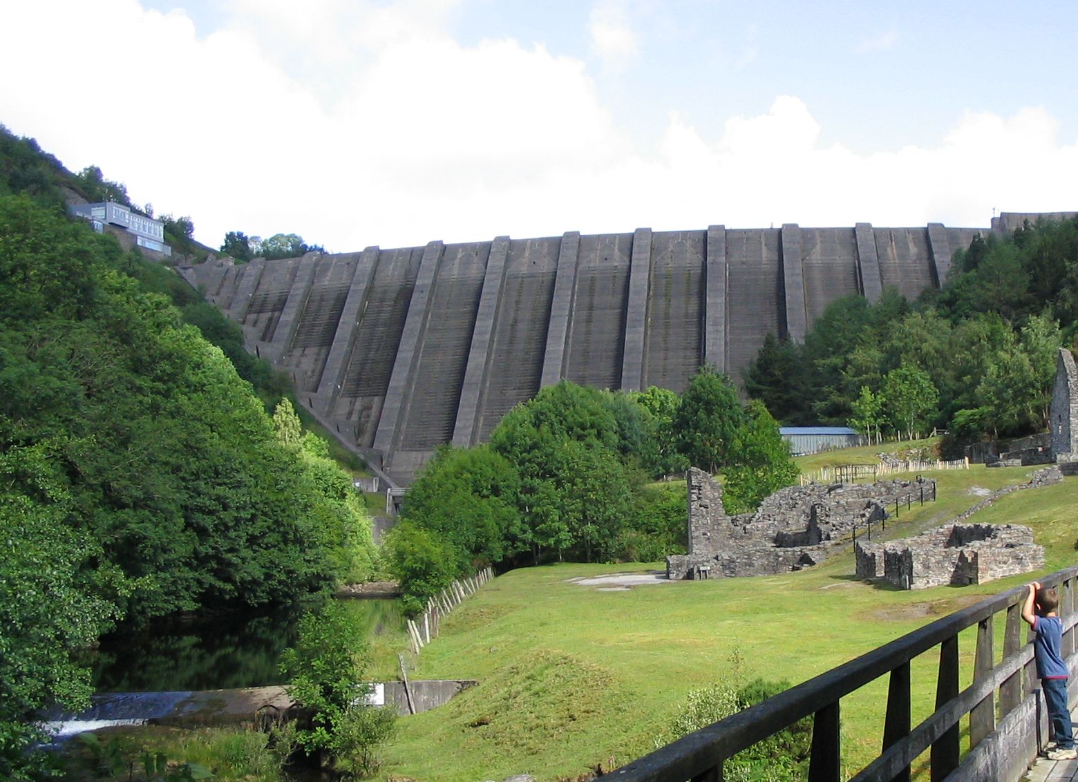
Bryntail lead mine
Bryntail lead mine is a disused lead mine near Llanidloes in Powys, Wales. Sited on the Afon Clywedog and in the shadow on the Clywedog reservoir dam,...
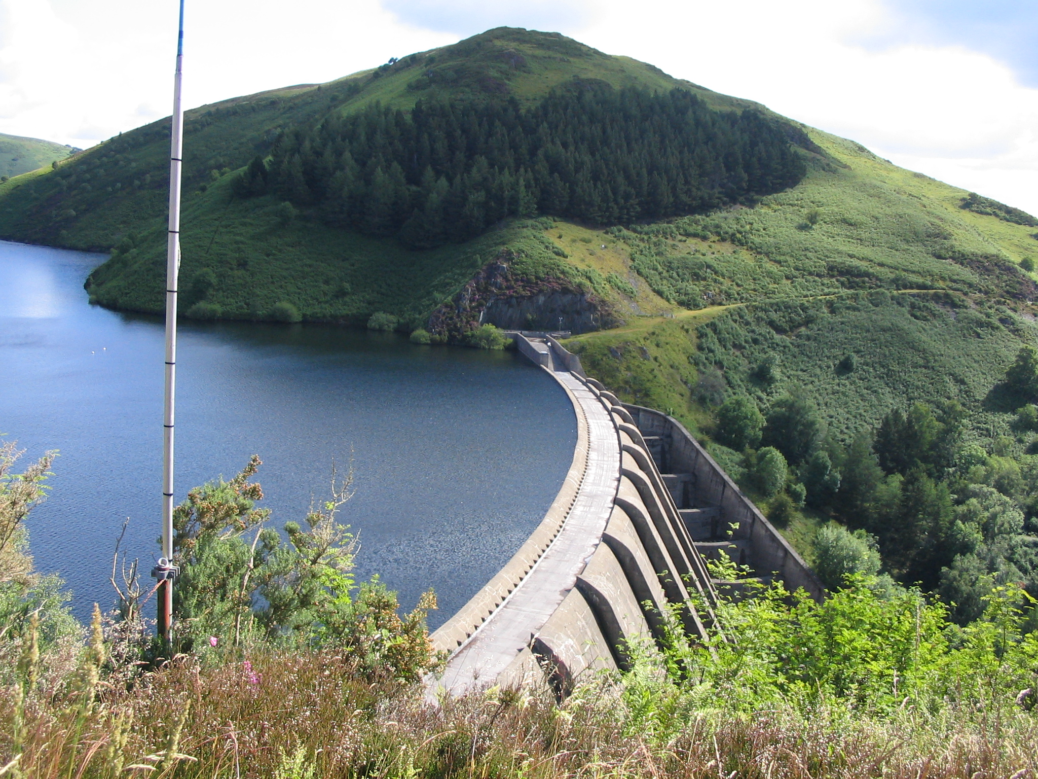
Clywedog Reservoir
The Clywedog Reservoir (Welsh: Llyn Clywedog) is a reservoir near Llanidloes, Wales on the head-waters of the River Severn. The construction of the reservoir...

Garth and Van Road railway station
Garth and Van Road railway station served the village of Garth, in the historical county of Montgomeryshire, Wales, from 1873 to 1940 on the Van Railway...

Van, Llanidloes
Van (Welsh: Y Fan) is a hamlet in Powys, Mid Wales, located to the north west of Llanidloes. Its name, an anglicisation of the local Welsh placename "Fan...
Nearby Amenities
Located within 500m of 52.474416,-3.5960173Have you been to Bryn-y-tail?
Leave your review of Bryn-y-tail below (or comments, questions and feedback).