Cnoc a' Mheirlich
Hill, Mountain in Sutherland
Scotland
Cnoc a' Mheirlich

The requested URL returned error: 429 Too Many Requests
If you have any feedback on the listing, please let us know in the comments section below.
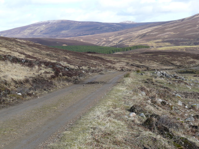
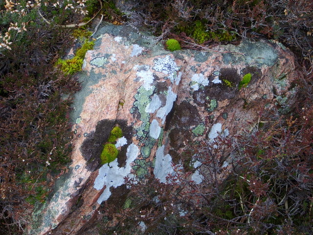
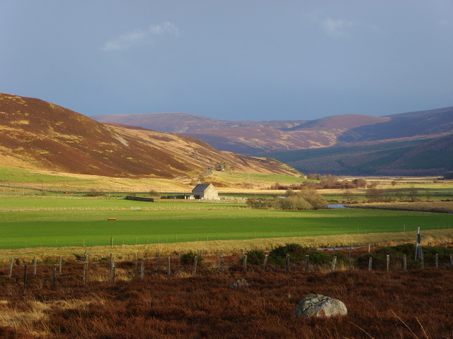
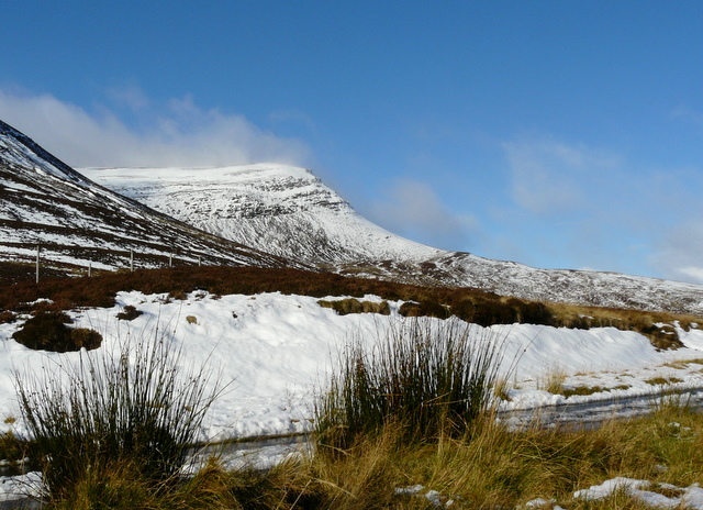
Cnoc a' Mheirlich Images
Images are sourced within 2km of 58.171301/-3.8587433 or Grid Reference NC9021. Thanks to Geograph Open Source API. All images are credited.


Cnoc a' Mheirlich is located at Grid Ref: NC9021 (Lat: 58.171301, Lng: -3.8587433)
Unitary Authority: Highland
Police Authority: Highlands and Islands
What 3 Words
///blush.comforted.quote. Near Kinbrace, Highland
Nearby Locations
Related Wikis
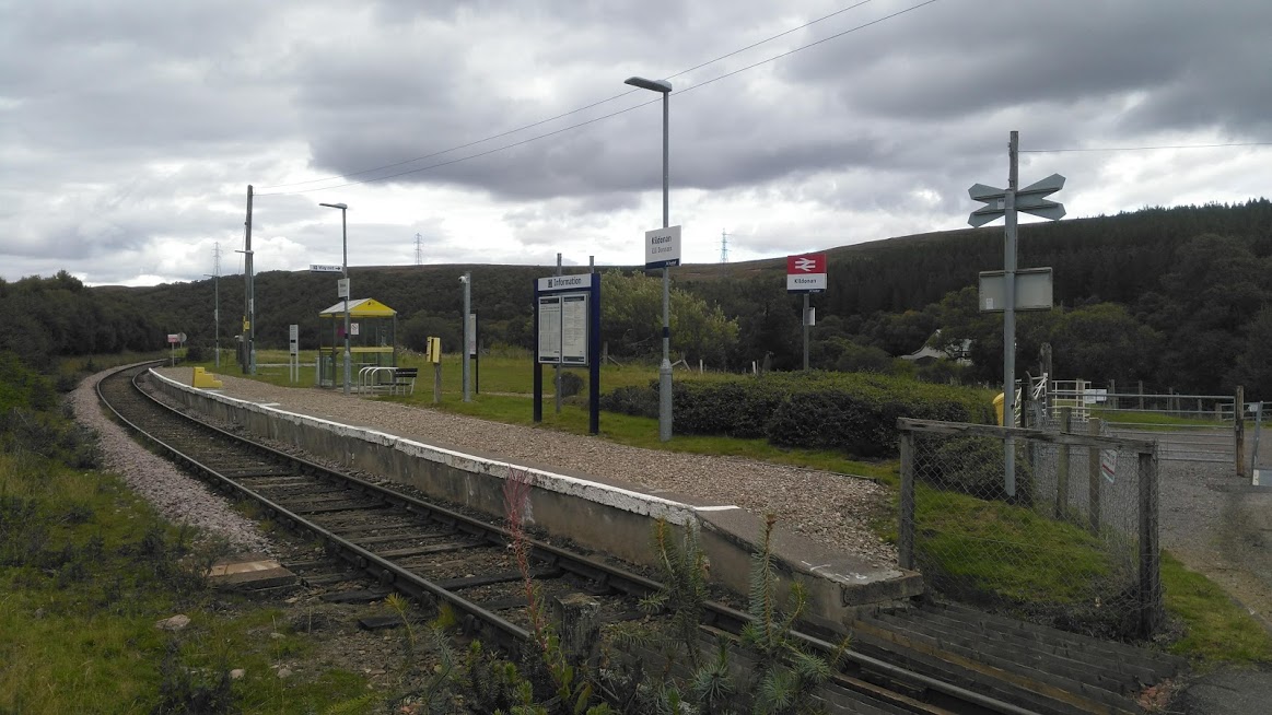
Kildonan railway station
Kildonan railway station ( kil-DON-ən) is a railway station near Kildonan Lodge in the Highland council area in the north of Scotland. It is located on...
Strath of Kildonan
Strath of Kildonan, also known as Strath Ullie, (Scottish Gaelic: Srath Ilidh), is a strath in Sutherland, in the north of Scotland. It extends in a north...
Beinn Dhorain
Beinn Dhorain (628 m) is a mountain in the Northwest Highlands. It lies in Sutherland in the far north of Scotland, west of the village of Helmsdale.A...

Kilphedir
Kilphedir (from Scottish Gaelic Cill Pheadair 'Peter's church') is a small remote settlement, which sits in the Strath Ullie valley (known also as Strath...
Nearby Amenities
Located within 500m of 58.171301,-3.8587433Have you been to Cnoc a' Mheirlich?
Leave your review of Cnoc a' Mheirlich below (or comments, questions and feedback).