Cil Cwm
Hill, Mountain in Merionethshire
Wales
Cil Cwm

Cil Cwm is a hill/mountain located in Merionethshire, Wales. It is situated in the southern part of the county, near the village of Llanuwchllyn. The hill/mountain is part of the Snowdonia National Park, renowned for its stunning natural beauty and diverse landscapes.
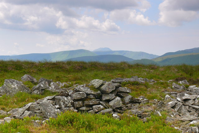
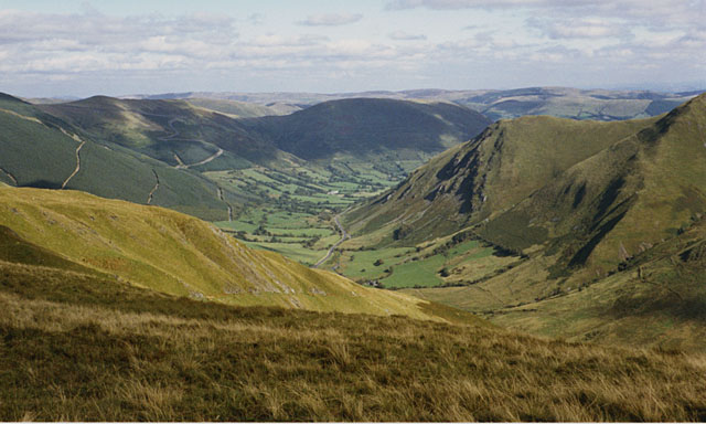
Cil Cwm reaches a peak elevation of approximately 670 meters (2,200 feet) above sea level. It is predominantly composed of rocky terrain, covered in heather and grasses typical of the upland areas of Wales. The hill/mountain offers breathtaking panoramic views of the surrounding countryside, including the nearby Lake Bala (Llyn Tegid), the largest natural lake in Wales.
Cil Cwm is a popular destination for outdoor enthusiasts, including hikers, climbers, and nature lovers. There are several marked trails and paths that lead to the summit, providing a challenging yet rewarding experience for those seeking adventure. The hill/mountain is also home to a variety of wildlife, such as red grouse, mountain hares, and birds of prey, making it an ideal spot for birdwatching and wildlife photography.
In addition to its natural beauty, Cil Cwm holds historical and cultural significance. It is believed to have been inhabited since prehistoric times, with evidence of ancient settlements and burial sites found in the vicinity. The hill/mountain is also associated with local legends and folklore, adding an air of mystique to its allure.
Overall, Cil Cwm is a captivating destination for outdoor enthusiasts and history buffs alike, offering a combination of natural beauty, challenging terrain, and cultural significance.
If you have any feedback on the listing, please let us know in the comments section below.
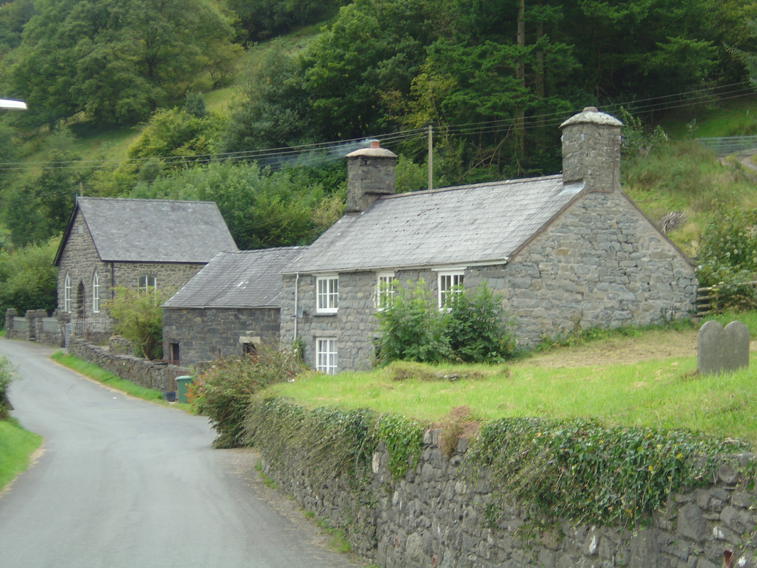
Cil Cwm Images
Images are sourced within 2km of 52.74493/-3.6216497 or Grid Reference SH9017. Thanks to Geograph Open Source API. All images are credited.


Cil Cwm is located at Grid Ref: SH9017 (Lat: 52.74493, Lng: -3.6216497)
Unitary Authority: Gwynedd
Police Authority: North Wales
What 3 Words
///perch.strategy.wiggles. Near Cwm-Llinau, Powys
Nearby Locations
Related Wikis
Llanymawddwy
Llanymawddwy () is a village in the community of Mawddwy in south-east Gwynedd, Wales, which is to the north of the larger village of Dinas Mawddwy, on...

Cywarch
Cywarch (also known as Aber-Cywarch or Aber Cywarch) is a location at the head of Cwm Cywarch in the Snowdonia National Park, in Gwynedd, Wales. Several...
Afon Cerist
The Afon Cerist is a small river that flows from underneath Craig Portas, the cliffs on the north side of Maesglase mountain, to meet the River Dyfi at...

Dinas Mawddwy
Dinas Mawddwy (Welsh pronunciation: [ˈdiːnas vau̯ðʊɨ̯]) () is a village in the community of Mawddwy in south-east Gwynedd, north Wales. It lies within...
Mawddwy
Mawddwy is a community in the county of Gwynedd, Wales, and is 88.3 miles (142.2 km) from Cardiff and 172.8 miles (278.0 km) from London. In 2011 the population...

Bwlch y Groes
Bwlch y Groes (translates from Welsh as pass of the cross) is the second highest public road mountain pass in Wales, with a summit altitude of 545 metres...
Minllyn quarry
Minllyn quarry was a slate quarry near Dinas Mawddwy in Wales that opened before 1793 and continued working intermittently until 1925. The quarry is located...

Pont Minllyn
Pont Minllyn (also known as Pont-y-Ffinant or Pontrusk Bridge) is a bridge spanning the Afon Dyfi, north of the village of Mallwyd, in Gwynedd, Wales....
Nearby Amenities
Located within 500m of 52.74493,-3.6216497Have you been to Cil Cwm?
Leave your review of Cil Cwm below (or comments, questions and feedback).