Carn na Caillich
Hill, Mountain in Nairnshire
Scotland
Carn na Caillich
Carn na Caillich is a prominent hill located in the Nairnshire region of the Scottish Highlands. Standing at an elevation of approximately 764 meters (2,507 feet), it is primarily composed of granite and offers breathtaking panoramic views of the surrounding landscape.
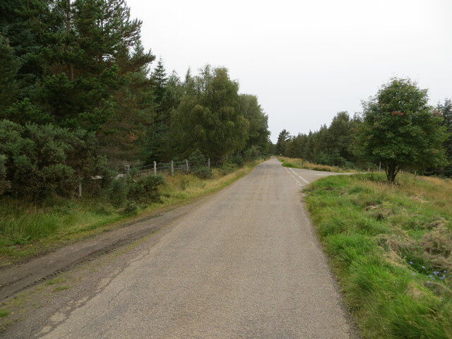
Situated near the village of Nethy Bridge, Carn na Caillich is part of the Cairngorms National Park, known for its stunning natural beauty and diverse wildlife. The hill is a popular destination for outdoor enthusiasts, hikers, and mountaineers, who are drawn to its challenging yet rewarding ascent.
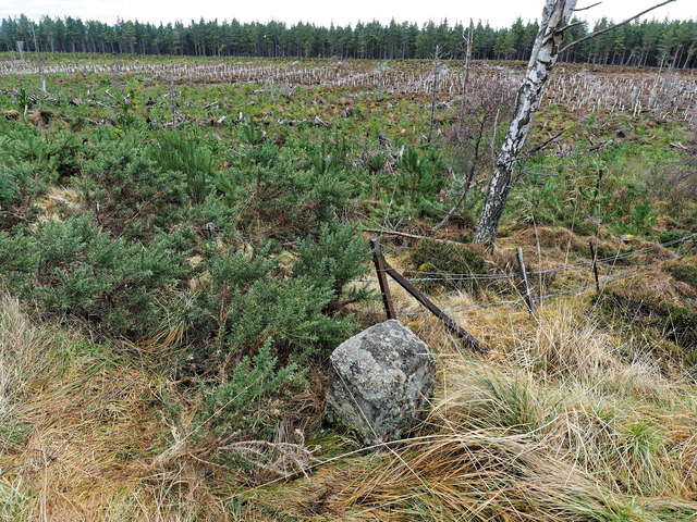
The summit of Carn na Caillich is marked by a prominent cairn, which is believed to have been used as a burial ground in ancient times. The name "Carn na Caillich" translates to "hill of the old woman" in Scottish Gaelic, referencing an old folk legend about an old witch who was turned into stone and rests atop the hill.
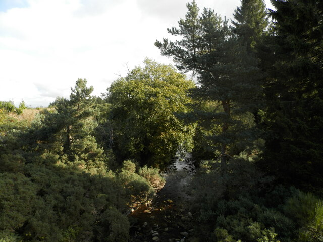
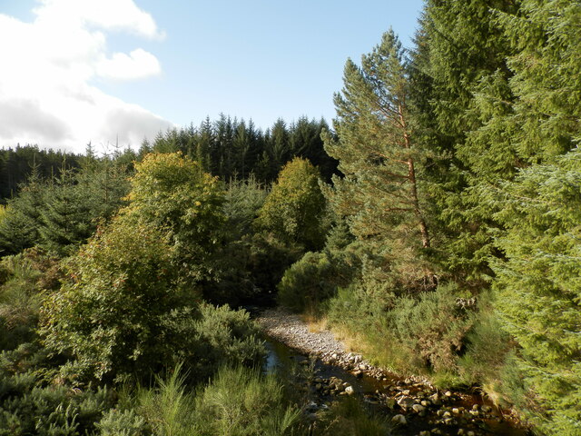
The hill is surrounded by a variety of vegetation, including heather, grasses, and scattered birch and pine trees. The lower slopes are home to a rich array of wildlife, including red deer, mountain hares, and various bird species.
Carn na Caillich offers a range of hiking routes to cater to different skill levels, with some paths providing a gentler ascent and others offering a more challenging and steep climb. Regardless of the chosen route, visitors are rewarded with breathtaking views of the surrounding Cairngorms, the Spey Valley, and the Moray Firth coastline.
In summary, Carn na Caillich is a captivating hill in Nairnshire, Scotland, known for its stunning views, rich history, and diverse wildlife. It offers a memorable experience for outdoor enthusiasts and nature lovers alike.
If you have any feedback on the listing, please let us know in the comments section below.
Carn na Caillich Images
Images are sourced within 2km of 57.462078/-3.8292921 or Grid Reference NH9042. Thanks to Geograph Open Source API. All images are credited.


Carn na Caillich is located at Grid Ref: NH9042 (Lat: 57.462078, Lng: -3.8292921)
Unitary Authority: Highland
Police Authority: Highlands and Islands
What 3 Words
///gobbles.revamping.lilac. Near Nairn, Highland
Nearby Locations
Related Wikis

Dunearn
Dunearn is a hill fort located 15 kilometres (9.3 mi) south south east of Nairn in Highland, Scotland. It is situated on a steep-sided hill called Doune...

County of Nairn
The County of Nairn (also called Nairnshire) (Scottish Gaelic: Siorrachd Inbhir Narann) is a historic county, registration county and lieutenancy area...

Ardclach
Ardclach (Gaelic: Àird Chlach) is a small crofting hamlet, close to Glenferness in the old county of Nairn, Scotland, within the Scottish council area...
Ardclach Bell Tower
Ardclach Bell Tower is an historic structure in Ardclach, Scottish Highlands. Dating to at least 1655, it is now a Category A listed building. It is believed...

Ferness
Ferness (Scottish Gaelic: Feàrnais) is a settlement and rural area in Strathdearn, in the council area of Highland.The settlement is situated in a forested...
Cawdor
Cawdor (Scottish Gaelic: Caladair) is a village and parish in the Highland council area, Scotland. The village is 5 miles (8 kilometres) south-southwest...
Culcharry
Culcharry is a small residential settlement, close to the village of Cawdor and the hamlet of Brackla, lying 4 miles southwest of Nairn, in Nairnshire...

Littlemill
Littlemill is a village located close to Nairn in Nairnshire, Scottish Highlands and is in the Scottish council area of Highland. == References ==
Nearby Amenities
Located within 500m of 57.462078,-3.8292921Have you been to Carn na Caillich?
Leave your review of Carn na Caillich below (or comments, questions and feedback).