Barlae Hill
Hill, Mountain in Kirkcudbrightshire
Scotland
Barlae Hill

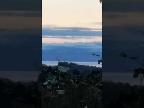
Barlae Hill is a prominent geographic feature located in the historical county of Kirkcudbrightshire, Scotland. Rising 366 meters (1,200 feet) above sea level, it is categorized as a hill rather than a mountain. Situated near the village of Laurieston, Barlae Hill offers breathtaking panoramic views of the surrounding countryside.
The hill is characterized by its gentle slopes and a distinct conical shape, making it easily recognizable from afar. Its slopes are primarily covered in grass and heather, creating a picturesque landscape that changes its color palette throughout the seasons. The summit of Barlae Hill is marked by a cairn, a man-made pile of stones, which stands as a testament to the hill's significance.
Due to its accessible location and moderate elevation, Barlae Hill is a popular destination for outdoor enthusiasts and nature lovers. Hiking to the top is a common activity, offering a rewarding experience for those seeking both physical challenge and natural beauty. The ascent is relatively straightforward, with a well-defined path leading to the summit.
Once at the top, visitors are rewarded with breathtaking views of the surrounding countryside. On a clear day, it is possible to see as far as the Solway Firth, the Lake District, and even the Isle of Man. This vantage point provides a unique perspective on the diverse landscape of Kirkcudbrightshire, showcasing rolling hills, lush farmland, and meandering rivers.
Overall, Barlae Hill is a popular destination for outdoor enthusiasts, offering a rewarding hiking experience and stunning views of the Kirkcudbrightshire region.
If you have any feedback on the listing, please let us know in the comments section below.
Barlae Hill Images
Images are sourced within 2km of 55.031398/-3.7171605 or Grid Reference NX9072. Thanks to Geograph Open Source API. All images are credited.


Barlae Hill is located at Grid Ref: NX9072 (Lat: 55.031398, Lng: -3.7171605)
Unitary Authority: Dumfries and Galloway
Police Authority: Dumfries and Galloway
What 3 Words
///weaned.musically.manager. Near Dumfries, Dumfries & Galloway
Nearby Locations
Related Wikis

Lochrutton Loch
Lochrutton Loch is a large, lowland freshwater loch that lies to the west of Dumfries, Scotland. The loch trends from north to south and is 0.75 mi (1...
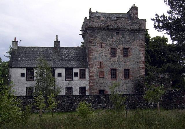
Hills Tower
Hills Tower is a sixteenth-century square tower house, with an adjoining eighteenth-century wing, near Dumfries in Scotland. Originally built around 1527...

Lochanhead railway station
Lochanhead railway station served the settlement of Lochanhead, Dumfries and Galloway, Scotland from 1859 to 1965 on the Castle Douglas and Dumfries Railway...

Easthill stone circle
Easthill stone circle (grid reference NX91937388), also known as the Seven Grey Stanes, is a small oval stone circle 3¾ miles south-west of Dumfries. Eight...

Lochaber Loch
Lochaber Loch is a small, lowland freshwater loch that lies among steep-sided hills, approximately 4.5 mi (7.2 km) to the west of Dumfries, Scotland. The...

Beeswing, Dumfries and Galloway
Beeswing is a small village in the historical county of Kirkcudbrightshire in Scotland. == Etymology == Before Beeswing became known as Beeswing, it was...
Killywhan railway station
Killywhan railway station served the hamlet of Killywhan, Dumfries and Galloway, Scotland from 1859 to 1959 on the Castle Douglas and Dumfries Railway...

Loch Arthur logboat
The Loch Arthur logboat or dugout canoe (also called Loch Arthur 1, Loch Lotus or Lotus Loch) was found in 1874 when the water level was low on the south...
Related Videos
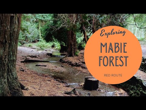
Mabie Forest Red Route Walk Chinney Field // Walk Dumfries & Galloway // South West Scotland
Family Trail Walk at Mabie Forest Red Route, Chinney Field, Dumfries, Dumfries and Galloway, Scotland. *This is a great walk if ...
Marthrown of Mabie | Mabie Forest | Autumn Glamping
Video diary of staying at Marthrown in Autumn. Visit www.marthrownofmabie.co.uk for their latest deals, blogs and ...
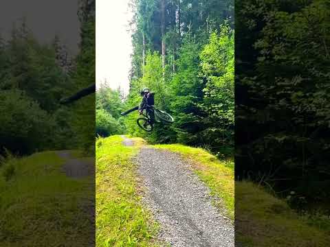
Getting used to Chucking some shapes on the new ebike! #mtblife #mtb #ebike
Great fun playing on my new ebike! Getting used to the weight distribution and moving the 180mm travel around! For all your title ...
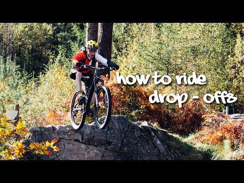
How to Ride Drop Offs - A Comprehensive Guide | MTBSkills
Our latest video gives you a comprehensive insight to the various techniques you can use to ride drop offs on mountain bike trails.
Nearby Amenities
Located within 500m of 55.031398,-3.7171605Have you been to Barlae Hill?
Leave your review of Barlae Hill below (or comments, questions and feedback).