Hoobrook
Settlement in Worcestershire Wyre Forest
England
Hoobrook
Hoobrook is a small village located in Worcestershire, England. Situated just south of Kidderminster, Hoobrook is a primarily residential area with a population of around 2,000 residents.
The village is known for its quiet and peaceful atmosphere, making it a popular choice for families and retirees looking for a tranquil place to live. Hoobrook is surrounded by beautiful countryside, offering residents plenty of opportunities for outdoor activities such as hiking, cycling, and horseback riding.
Despite its rural setting, Hoobrook is conveniently located near major roadways, making it easy for residents to commute to nearby towns and cities for work or leisure. The village also has a few local amenities, including a small convenience store, a pub, and a primary school.
Overall, Hoobrook is a charming village with a strong sense of community and a close-knit feel. Its picturesque surroundings and convenient location make it an ideal place for those seeking a peaceful and idyllic lifestyle in the heart of the Worcestershire countryside.
If you have any feedback on the listing, please let us know in the comments section below.
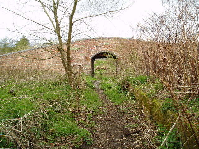
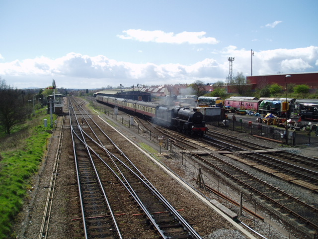
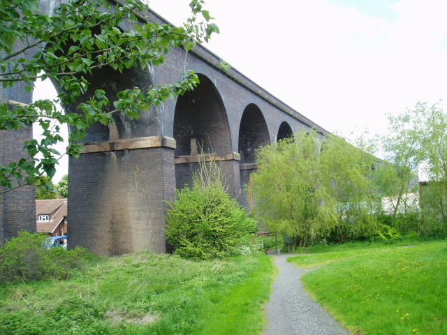
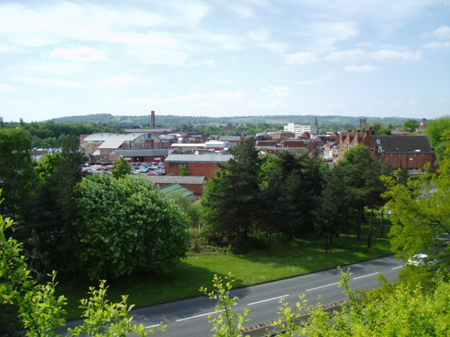
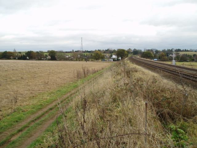
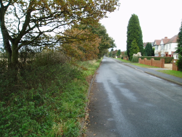
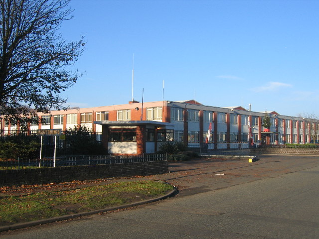
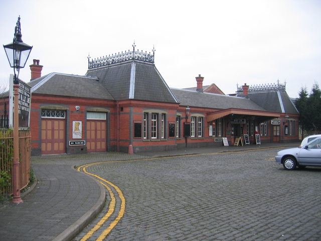
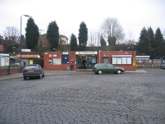
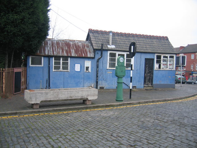
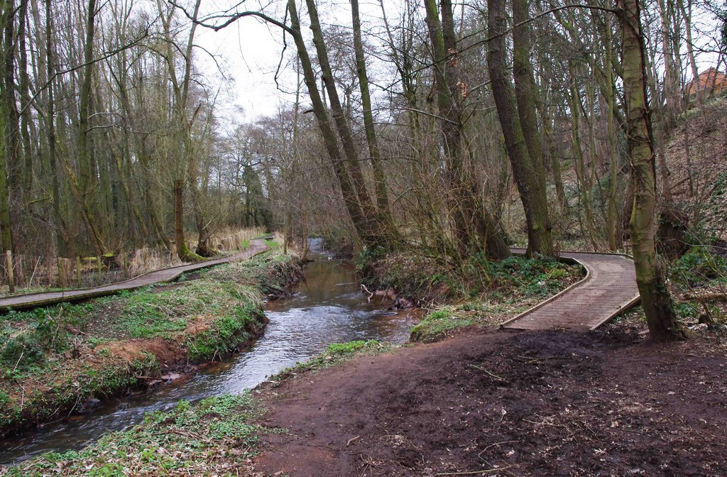
Hoobrook Images
Images are sourced within 2km of 52.368982/-2.244955 or Grid Reference SO8374. Thanks to Geograph Open Source API. All images are credited.


Hoobrook is located at Grid Ref: SO8374 (Lat: 52.368982, Lng: -2.244955)
Administrative County: Worcestershire
District: Wyre Forest
Police Authority: West Mercia
What 3 Words
///dining.duck.icon. Near Kidderminster, Worcestershire
Nearby Locations
Related Wikis
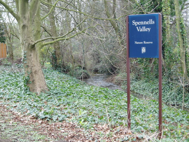
Spennells Valley
Spennells Valley is a local nature reserve in south-east Kidderminster, in Worcestershire, England. == Description == It was declared a local nature reserve...
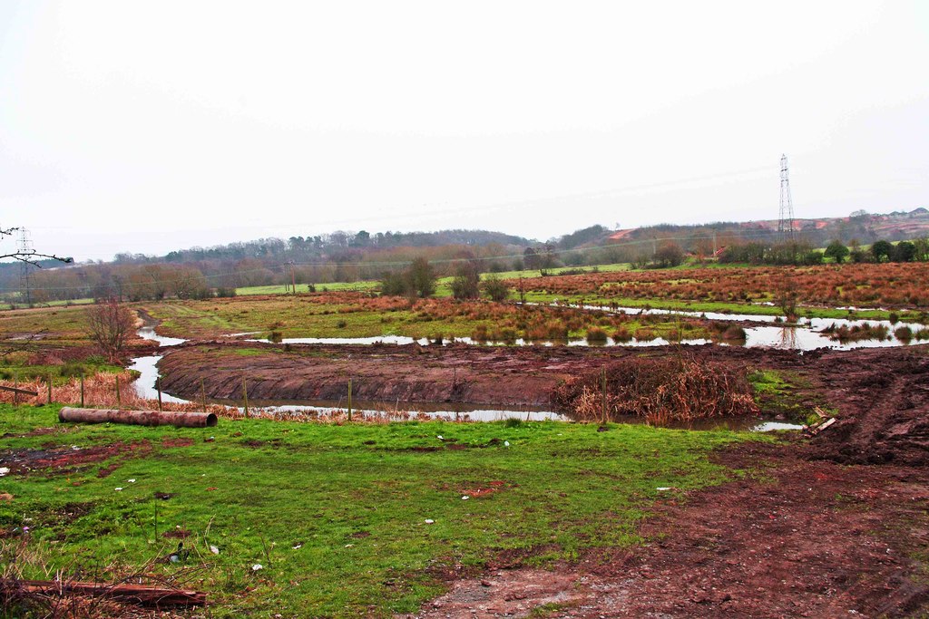
Wilden Marsh
Wilden Marsh is a nature reserve of the Worcestershire Wildlife Trust. It is situated between Kidderminster and Stourport-on-Severn, in Worcestershire...

Foley Park Halt railway station
Foley Park Halt was the first stop on the GWR Kidderminster to Bewdley loop line which now forms part of the Severn Valley Railway. It was located in the...
Summerfield Research Station
The Summerfield Research Station is a development and production site for solid rocket motors in the United Kingdom officially formed on 1 September 1951...
Nearby Amenities
Located within 500m of 52.368982,-2.244955Have you been to Hoobrook?
Leave your review of Hoobrook below (or comments, questions and feedback).