Carn Nant-y-ffald
Heritage Site in Radnorshire
Wales
Carn Nant-y-ffald

Carn Nant-y-ffald, located in Radnorshire, Wales, is a historical heritage site that holds significant cultural and archaeological importance. This ancient mound, also known as a cairn, is situated within an expansive landscape, surrounded by rolling hills and lush greenery.
Dating back to the Bronze Age, Carn Nant-y-ffald is believed to have been constructed around 2000-1500 BCE. The cairn is made up of a circular stone structure, with a diameter of approximately 15 meters and a height of around 1.5 meters. The stones used in its construction are mostly of local origin, giving it a distinct regional character.
The purpose of Carn Nant-y-ffald remains a subject of debate among archaeologists and historians. Some theories suggest that it served as a burial mound, while others propose that it held ceremonial or religious significance. The site's location, surrounded by breathtaking natural beauty, adds to its enigmatic aura.
Visitors to Carn Nant-y-ffald can explore the site and marvel at its ancient construction. The cairn offers a glimpse into the lives and beliefs of the people who inhabited the area during the Bronze Age. The heritage site is accessible to the public and is often accompanied by interpretive displays or informative plaques that explain its historical context.
Carn Nant-y-ffald stands as a testament to the rich cultural heritage of Radnorshire and provides a fascinating insight into the ancient past of Wales. Its mysterious origins and well-preserved structure make it not only a significant archaeological site but also a captivating destination for history enthusiasts and curious visitors alike.
If you have any feedback on the listing, please let us know in the comments section below.
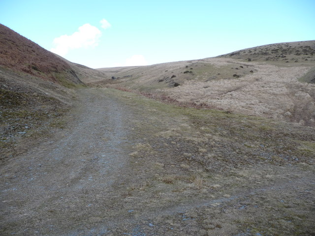
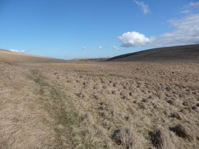
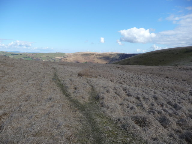
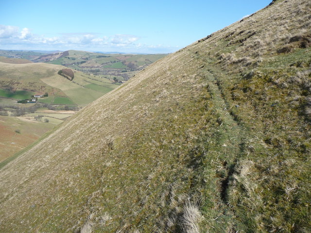
Carn Nant-y-ffald Images
Images are sourced within 2km of 52.353963/-3.6152551 or Grid Reference SN9074. Thanks to Geograph Open Source API. All images are credited.


Carn Nant-y-ffald is located at Grid Ref: SN9074 (Lat: 52.353963, Lng: -3.6152551)
Unitary Authority: Powys
Police Authority: Dyfed Powys
What 3 Words
///iteration.recruited.bowhead. Near Rhayader, Powys
Nearby Locations
Related Wikis

Garreg Lwyd (Rhayader)
Garreg Lwyd is a hill in Mid Wales, between the towns of Rhayader and Llangurig. It rises to the east above the A470 as it follows the Wye Valley. The...
Marteg Halt railway station
Marteg Halt railway station was a station to the northwest of Rhayader, Powys, Wales. The station closed in 1962. == References == == Further reading... ==

Craig Goch Dam
The Craig Goch Dam, often called the Top dam, is a masonry dam in the Elan Valley of Wales and creates the upper-most of the Elan Valley Reservoirs. Construction...

Llangurig
Llangurig is both a village and a community in Montgomeryshire, Powys, Wales. The population was 723 in the 2011 UK Census. The community includes the...
Have you been to Carn Nant-y-ffald?
Leave your review of Carn Nant-y-ffald below (or comments, questions and feedback).