Hoo
Settlement in Kent Thanet
England
Hoo

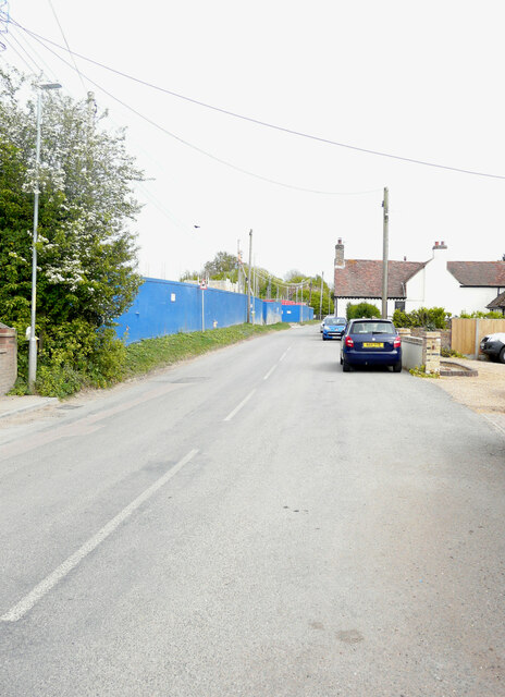
Hoo is a small village located in the county of Kent, England. Situated about 30 miles southeast of London, Hoo is found on the Hoo Peninsula, which stretches into the Thames Estuary. The village is part of the Medway district and lies within the historic county of Kent.
Hoo is known for its picturesque countryside and its close proximity to the River Medway. The village boasts a rich history that dates back to the Roman times, and it is believed that the area was once an important trading post due to its strategic location.
Today, Hoo is a thriving community with a population of around 6,500 residents. The village offers a range of amenities, including shops, pubs, and restaurants, providing its residents with convenient access to daily essentials.
Surrounded by beautiful natural landscapes, Hoo is a popular destination for outdoor enthusiasts. The nearby Hoo St Werburgh Marshes Nature Reserve provides opportunities for birdwatching and wildlife spotting, while the nearby Northward Hill RSPB Reserve is famous for its population of nightingales.
Transport links in Hoo are well-developed, with regular bus services connecting the village to nearby towns and cities. The A228 road also runs through the village, providing easy access to the wider road network.
Overall, Hoo is a charming village that offers a peaceful and scenic environment, making it an attractive place to live for those seeking a quieter lifestyle within reach of the bustling city of London.
If you have any feedback on the listing, please let us know in the comments section below.
Hoo Images
Images are sourced within 2km of 51.336472/1.298092 or Grid Reference TR2964. Thanks to Geograph Open Source API. All images are credited.


Hoo is located at Grid Ref: TR2964 (Lat: 51.336472, Lng: 1.298092)
Administrative County: Kent
District: Thanet
Police Authority: Kent
What 3 Words
///response.excusing.admiral. Near Birchington-on-Sea, Kent
Nearby Locations
Related Wikis
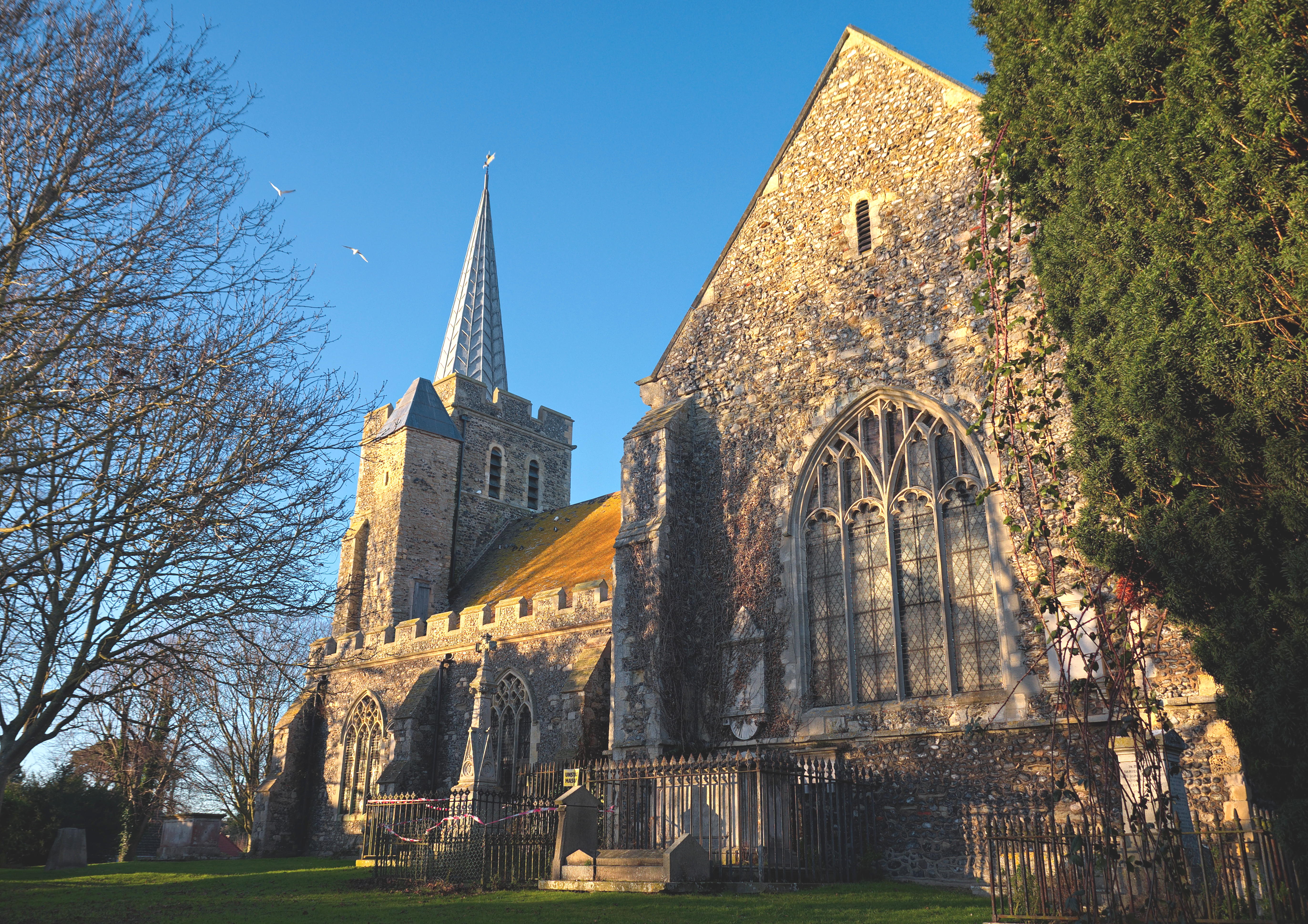
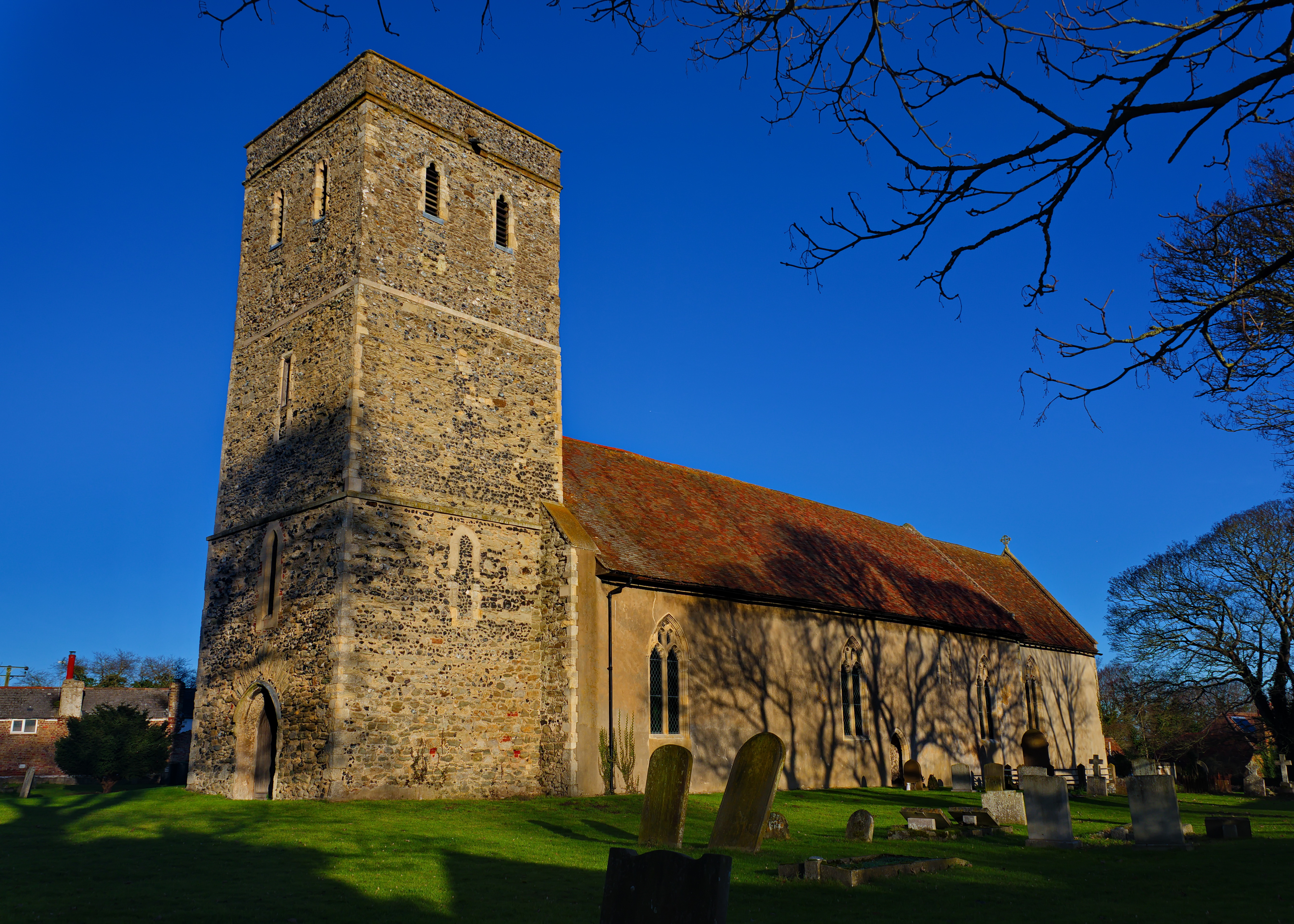
Minster-in-Thanet
Minster, also known as Minster-in-Thanet, is a village and civil parish in the Thanet District of Kent, England. It is the site of Minster in Thanet Priory...
Monkton, Kent
Monkton is a village and civil parish in the Thanet District of Kent, England. The village is located at the south-west edge of the Isle of Thanet and...
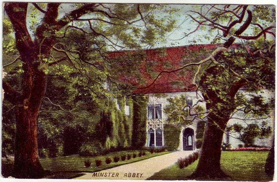
Minster in Thanet Priory
Minster Abbey is the name of two abbeys in Minster-in-Thanet, Kent, England. The first was a 7th-century foundation which lasted until the Dissolution...

Minster railway station
Minster railway station serves the village of Minster in Kent and surrounding villages. It is next to a junction between Canterbury West, Ramsgate and...
Nearby Amenities
Located within 500m of 51.336472,1.298092Have you been to Hoo?
Leave your review of Hoo below (or comments, questions and feedback).