Cefn Hirbrysg

Hill, Mountain in Montgomeryshire

Wales

Cefn Hirbrysg

A44 in Llangurig
A44 in Llangurig Credit: David Smith

The requested URL returned error: 429 Too Many Requests

If you have any feedback on the listing, please let us know in the comments section below.

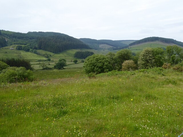
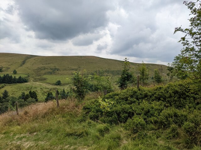
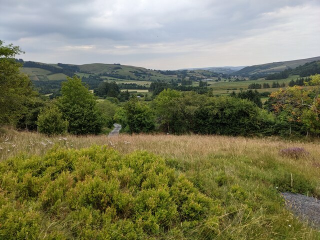
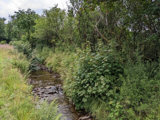
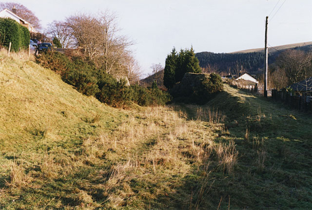
Cefn Hirbrysg Images

Images are sourced within 2km of 52.416231/-3.623456 or Grid Reference SN8981. Thanks to Geograph Open Source API. All images are credited.

A44 in Llangurig
A44 in Llangurig
St Curig’s church, Llangurig
The Blue Bell
The Blue Bell
A44 entering Llangurig
Entrance to St Curig’s Church
Over the wall to St Curig’s Church
The A44 enters Llangurig
The A44 in Llangurig
Fancy brickwork in Llangurig
Old Milestone by the A44, Dyffryn Gwy/Wye Valley By the A44, in parish of Llangurig (Powys District), West of Plas Bull, Dyffryn Gwy/Wye Valley, on verge.

Inscription is unclear but it seems to have pointing hands, and Old-maps records the mileages:- : LLANIDLOES / 7 / ABERYSTWYTH / 22½ : 

Surveyed

Milestone Society National ID: MOT_LIAY07.
Old Milestone by the A44, Dyffryn Gwy/Wye Valley
By the A44, in parish of Llangurig (Powys District), West of Plas Bull, Dyffryn Gwy/Wye Valley, on verge. Inscription is unclear but it seems to have pointing hands, and Old-maps records the mileages:- : LLANIDLOES / 7 / ABERYSTWYTH / 22½ : Surveyed Milestone Society National ID: MOT_LIAY07.
A44 lay-by  Near Llangurig.
A44 lay-by
Near Llangurig.
Afon Gwy beside the A44 At Aber-bidno, the point of confluence between the Gwy and  the Bidno.
Afon Gwy beside the A44
At Aber-bidno, the point of confluence between the Gwy and the Bidno.
Wye valley west of Llangurig The Wye valley viewed from a layby on the A44 to the west of Llangurig.
Wye valley west of Llangurig
The Wye valley viewed from a layby on the A44 to the west of Llangurig.
Looking towards Esgair Llwyn-gwyn
Grassland near Troed-yr-esgair
Nant Hirnant at Troed-yr-esgair Troed-yr-esgair means 'foot of the ridge'.
Nant Hirnant at Troed-yr-esgair
Troed-yr-esgair means 'foot of the ridge'.
Ordnance Survey Flush Bracket S0730 This can be found on the wall of a former school building in Llangurig.
For more detail see : <span class="nowrap"><a title="http://www.bench-marks.org.uk/bm14979" rel="nofollow ugc noopener" href="http://www.bench-marks.org.uk/bm14979">Link</a><img style="margin-left:2px;" alt="External link" title="External link - shift click to open in new window" src="https://s1.geograph.org.uk/img/external.png" width="10" height="10"/></span>
Ordnance Survey Flush Bracket S0730
This can be found on the wall of a former school building in Llangurig. For more detail see : LinkExternal link
Bridleway signage, Llangurig Overgrown with thorns and lichens. Jubilee Bank Holiday June 2012
Bridleway signage, Llangurig
Overgrown with thorns and lichens. Jubilee Bank Holiday June 2012
Show me another place!

Cefn Hirbrysg is located at Grid Ref: SN8981 (Lat: 52.416231, Lng: -3.623456)

Unitary Authority: Powys

Police Authority: Dyfed Powys

What 3 Words

///snuggled.begins.impressed. Near Llanidloes, Powys

Related Wikis

Llangurig railway station

Llangurig railway station was intended to serve the village and rural locale of Llangurig in the Welsh county of Powys. The station, which was on the Llangurig...

Llangurig branch

The Llangurig branch was a part of a proposed scheme by the Manchester and Milford Railway (M&MR) to connect industrialised Northwest England with the...

Llangurig

Llangurig is both a village and a community in Montgomeryshire, Powys, Wales. The population was 723 in the 2011 UK Census. The community includes the...

Blaen-y-glyn

Blaen-y-glyn is an area in the community of Llangurig, Powys, Wales, which is 67 miles (108 km) from Cardiff and 160 miles (258 km) from London. Cadw-listed...

Nearby Amenities

Located within 500m of 52.416231,-3.623456
Place: farm
Lat/Long: 52.4134412/-3.6212608
Direction: 145
Generator Method: photovoltaic
Generator Output Electricity: yes
Generator Solar Modules: 16
Generator Source: solar
Generator Type: solar_photovoltaic_panel
Location: roof
Power: generator
Lat/Long: 52.4135392/-3.6209651
Direction: SSE
Generator Method: photovoltaic
Generator Output Electricity: yes
Generator Solar Modules: 14
Generator Source: solar
Generator Type: solar_photovoltaic_panel
Location: roof
Power: generator
Lat/Long: 52.4134038/-3.6215374
The data included in this document is from www.openstreetmap.org. The data is made available under ODbL.

Have you been to Cefn Hirbrysg?

Leave your review of Cefn Hirbrysg below (or comments, questions and feedback).