Bye Hill
Hill, Mountain in Somerset Somerset West and Taunton
England
Bye Hill

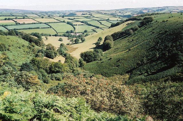
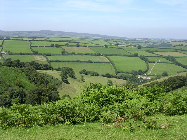
Bye Hill is a prominent geographical feature located in Somerset, England. It is classified as a hill rather than a mountain, with an elevation of approximately 207 meters (679 feet) above sea level. Situated in the Mendip Hills, Bye Hill offers breathtaking panoramic views of the surrounding countryside.
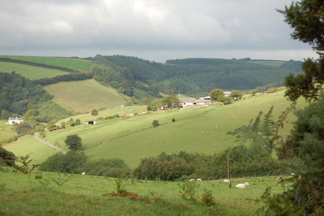
Covered predominantly in grassland and heathland, Bye Hill is known for its rich biodiversity and is designated as a Site of Special Scientific Interest (SSSI). The hill is home to a variety of plant species, including rare orchids and wildflowers, as well as a diverse range of animal life such as butterflies, birds, and small mammals.
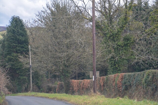
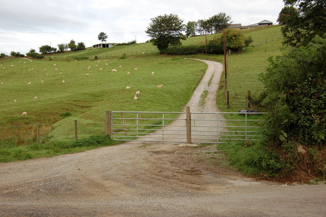
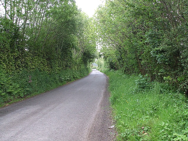
Access to Bye Hill is facilitated by a network of footpaths and trails, allowing visitors to explore and appreciate the natural beauty of the area. The hill attracts hikers, nature enthusiasts, and photographers who are drawn to its picturesque landscapes and tranquil atmosphere.
At the summit of Bye Hill, there is a trig point, which serves as a marker for surveying purposes. This provides a popular spot for visitors to take in the breathtaking panoramic views across the Somerset Levels and beyond.
Due to its location within the Mendip Hills Area of Outstanding Natural Beauty, Bye Hill is a popular destination for outdoor activities such as walking, picnicking, and birdwatching. It also serves as a starting point for longer hikes and exploration of the surrounding countryside.
Overall, Bye Hill offers a serene and picturesque setting for nature lovers and outdoor enthusiasts, providing a peaceful escape from the hustle and bustle of everyday life.
If you have any feedback on the listing, please let us know in the comments section below.
Bye Hill Images
Images are sourced within 2km of 51.110327/-3.5808766 or Grid Reference SS8935. Thanks to Geograph Open Source API. All images are credited.


Bye Hill is located at Grid Ref: SS8935 (Lat: 51.110327, Lng: -3.5808766)
Administrative County: Somerset
District: Somerset West and Taunton
Police Authority: Avon and Somerset
What 3 Words
///fenced.series.pulse. Near Dulverton, Somerset
Nearby Locations
Related Wikis

Garratts Wood
Garratts Wood is a woodland in Somerset, England, near the village of Winsford. It covers a total area of 1.11 hectares (2.74 acres). It is owned and managed...
Winsford, Somerset
Winsford is a village and civil parish in Somerset, England, located about 5 miles (8 km) north-west of Dulverton. It is within the borders of the Exmoor...

Exmoor
Exmoor is loosely defined as an area of hilly open moorland in west Somerset and north Devon in South West England. It is named after the River Exe, the...

Caratacus Stone
The Caratacus Stone, sometimes known as the Caractacus Stone, is an inscribed stone on Exmoor in Somerset, England. It is thought to date from the 6th...

South Exmoor SSSI
South Exmoor (grid reference SS880340) is a 3132.7 hectare (7742.3 acre) biological Site of Special Scientific Interest in Devon and Somerset, England...
Road Castle
Road Castle is an Iron Age bank and ditch in the West Somerset district of Somerset, England. The hill fort is situated approximately 2 miles (3.2 km)...

St Peter's Church, Exton
The Anglican St Peter's Church at Exton within the English county of Somerset has a 13th-century tower and 15th century aisle. It is a Grade II* listed...
Exton, Somerset
Exton is a village and civil parish 5 miles (8 km) north-east of Dulverton and 9 miles (14 km) south-west of Dunster in Somerset, England. It lies on the...
Nearby Amenities
Located within 500m of 51.110327,-3.5808766Have you been to Bye Hill?
Leave your review of Bye Hill below (or comments, questions and feedback).