Banks Hill

Hill, Mountain in Kirkcudbrightshire

Scotland

Banks Hill

Coronation Memorial Fountain Dated 1902 to King Edward VII and erected by Colonel Mackenzie of Auchenskeoch. By the side of the B793.
Coronation Memorial Fountain Credit: Walter Baxter

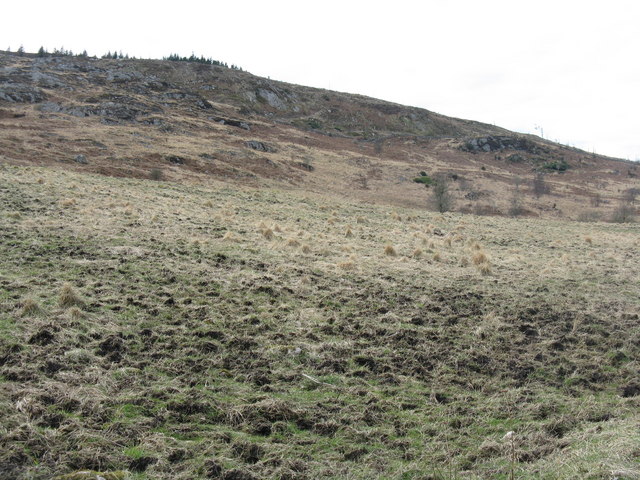
Banks Hill, located in Kirkcudbrightshire, is a prominent hill/mountain in the southern region of Scotland. Rising to an elevation of approximately 305 meters (1,000 feet), it offers stunning panoramic views of the surrounding countryside.

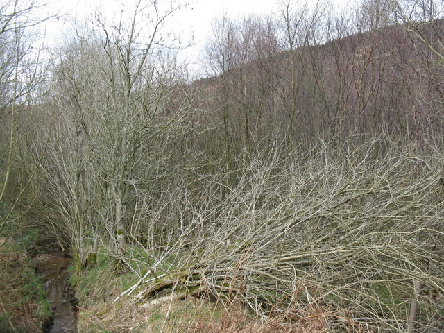
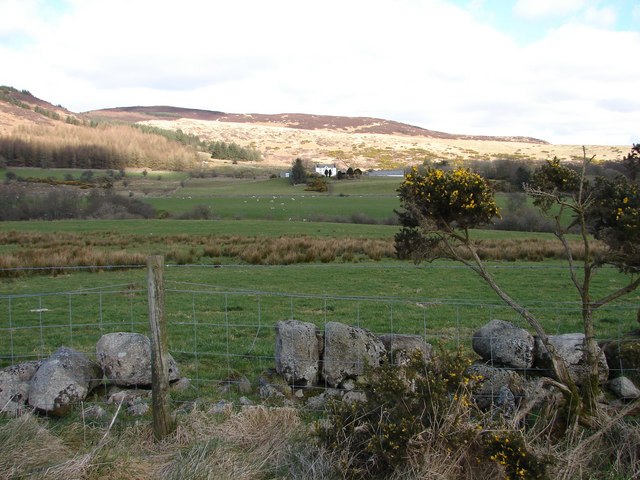
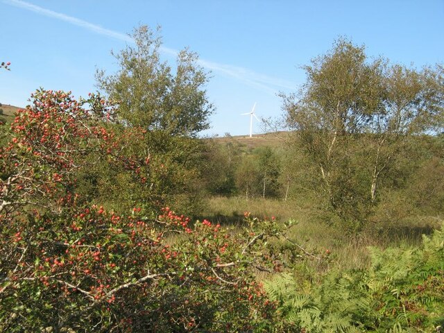
Situated near the town of Dalbeattie, Banks Hill is a popular destination for outdoor enthusiasts and nature lovers. The hill is primarily composed of granite, which gives it a distinctive rugged appearance. This geological feature also contributes to the hill's diverse flora and fauna, making it an important site for biodiversity.

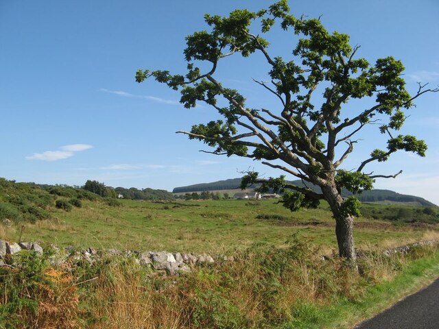
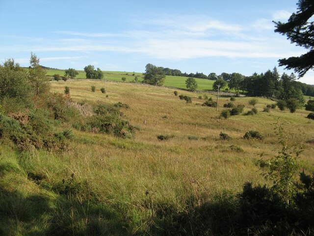
Banks Hill is accessible via several walking trails that wind their way through the surrounding countryside. These trails range in difficulty, accommodating both casual walkers and more experienced hikers. The hill's summit provides an excellent vantage point, offering breathtaking views of the rolling hills, forests, and coastline that characterize the region.

The hill is also steeped in history, with evidence of ancient settlements and structures dating back thousands of years. Archaeological finds in the area suggest that Banks Hill was once inhabited by early settlers, and remnants of stone circles and burial cairns can still be seen today.

In addition to its natural and historical significance, Banks Hill is a popular spot for recreational activities such as picnicking, birdwatching, and photography. Its tranquil atmosphere and picturesque surroundings make it an ideal destination for those seeking to escape the hustle and bustle of everyday life and immerse themselves in the beauty of the Scottish countryside.

If you have any feedback on the listing, please let us know in the comments section below.

Banks Hill Images

Images are sourced within 2km of 54.911349/-3.7388144 or Grid Reference NX8858. Thanks to Geograph Open Source API. All images are credited.
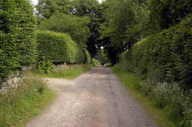
Coronation Memorial Fountain Dated 1902 to King Edward VII and erected by Colonel Mackenzie of Auchenskeoch. By the side of the B793.
Coronation Memorial Fountain
Dated 1902 to King Edward VII and erected by Colonel Mackenzie of Auchenskeoch. By the side of the B793.
Track to White Croft The rough track which runs behind Auchenskeoch Lodge along to White Croft.
Track to White Croft
The rough track which runs behind Auchenskeoch Lodge along to White Croft.
Clawbelly Hill
Clawbelly Hill
Roadside scrub at Southwick Burn
Roundfell Farm View of Roundfell Farm from Walltrees on the Auchenskeoch-Bargrug lane.
Roundfell Farm
View of Roundfell Farm from Walltrees on the Auchenskeoch-Bargrug lane.
1902 Coronation memorial fountain Dedicated to King Edward VII. Erected by Colonel MacKenzie of Auchenskeoch. The mason was W W Robson.
1902 Coronation memorial fountain
Dedicated to King Edward VII. Erected by Colonel MacKenzie of Auchenskeoch. The mason was W W Robson.
Road through Clifton Wood Bluebells are in full flower.
Road through Clifton Wood
Bluebells are in full flower.
Road through Clifton Wood
Young trees beside the road A small copse of trees has been planted at the corner of a field beside the road.
Young trees beside the road
A small copse of trees has been planted at the corner of a field beside the road.
Track to New Farm It also leads to Drumathol, Little hawthorn and Clonyard [<a title="https://www.geograph.org.uk/photo/5781026" href="https://www.geograph.org.uk/photo/5781026">Link</a>].
Track to New Farm
It also leads to Drumathol, Little hawthorn and Clonyard [Link].
Lane to Burnside A fine, agricultural landscape with abundant trees.
Lane to Burnside
A fine, agricultural landscape with abundant trees.
Auchenhay Bridge A fine, stone-built bridge carrying the unmade road over Fairgirth Lane.
Auchenhay Bridge
A fine, stone-built bridge carrying the unmade road over Fairgirth Lane.
Farmland with roadside tree Something like topiary in this roadside tree by Auchenhay.
Farmland with roadside tree
Something like topiary in this roadside tree by Auchenhay.
Track in the forest This track through young growth of trees runs over bare granite outcrop in places, with heather and moss making a pleasant carpet.
Track in the forest
This track through young growth of trees runs over bare granite outcrop in places, with heather and moss making a pleasant carpet.
Roadside rowans Fabulous crops of rowan berries at the roadside on the margin of the Auchenhay Forest.
Roadside rowans
Fabulous crops of rowan berries at the roadside on the margin of the Auchenhay Forest.
Moorland below Banks Hill A paradox, with improved grazing at higher altitude than the rougher moorland.
Moorland below Banks Hill
A paradox, with improved grazing at higher altitude than the rougher moorland.
Turbine on Auchenlosh Hill A view to the moorland of Auchenlosh Hill over a wet area with rushes and birch trees. Hawthorn at the roadside is showing a good crop of berries.
Turbine on Auchenlosh Hill
A view to the moorland of Auchenlosh Hill over a wet area with rushes and birch trees. Hawthorn at the roadside is showing a good crop of berries.
Roadside bench A bench fashioned from pieces of natural wood in a peaceful spot in sheep pastures. Sadly, the view from the bench was compromised by sun shining straight into the camera, so I was unable capture the wider scene.
Roadside bench
A bench fashioned from pieces of natural wood in a peaceful spot in sheep pastures. Sadly, the view from the bench was compromised by sun shining straight into the camera, so I was unable capture the wider scene.
Show me another place!

Banks Hill is located at Grid Ref: NX8858 (Lat: 54.911349, Lng: -3.7388144)

Unitary Authority: Dumfries and Galloway

Police Authority: Dumfries and Galloway

What 3 Words

///helm.threaded.late. Near Dalbeattie, Dumfries & Galloway

Nearby Locations

Beech Wood Banks Hill

Related Wikis

Colvend and Southwick

Colvend and Southwick is a community council area and civil parish within the Stewartry area of Dumfries and Galloway, Scotland. It is also part of the...

Southwick railway station (Scotland)

Southwick (Dumfries & Galloway) railway station served the civil parish of Colvend and Southwick, Dumfries and Galloway, Scotland from 1859 to 1965 on...

Dalbeattie Star F.C.

Dalbeattie Star Football Club is a Scottish association football club based in Dalbeattie, Dumfries and Galloway. It currently competes in the South of...

Dalbeattie

Dalbeattie (, Scots: Dawbeattie, Scottish Gaelic: Dail Bheithe meaning 'haugh of the birch' or Dail bhàite 'drowned (i.e. liable to flood) haugh') is a...

Nearby Amenities

Located within 500m of 54.911349,-3.7388144
Banks Hill
Natural: peak
Lat/Long: 54.9116643/-3.7391372
Power: pole
Lat/Long: 54.9132223/-3.732097
Power: pole
Lat/Long: 54.9137321/-3.7330241
Power: pole
Lat/Long: 54.9142479/-3.7339299
Power: pole
Lat/Long: 54.9147661/-3.7348485
Power: pole
Lat/Long: 54.9152612/-3.7357289
Power: pole
Lat/Long: 54.9151173/-3.7368087
Power: pole
Lat/Long: 54.9149917/-3.7378779
Power: pole
Lat/Long: 54.9148247/-3.739119
Power: pole
Lat/Long: 54.9146771/-3.740203
Power: pole
Lat/Long: 54.9145076/-3.7414971
Power: pole
Lat/Long: 54.9143357/-3.7427488
Power: pole
Lat/Long: 54.9141918/-3.7438901
Power: pole
Lat/Long: 54.9140613/-3.7448554
Power: pole
Lat/Long: 54.9102383/-3.7328055
Power: pole
Lat/Long: 54.9094321/-3.7329328
Power: pole
Lat/Long: 54.9086748/-3.7330729
The data included in this document is from www.openstreetmap.org. The data is made available under ODbL.

Have you been to Banks Hill?

Leave your review of Banks Hill below (or comments, questions and feedback).