Auchenlosh Hill

Hill, Mountain in Kirkcudbrightshire

Scotland

Auchenlosh Hill

Coronation Memorial Fountain Dated 1902 to King Edward VII and erected by Colonel Mackenzie of Auchenskeoch. By the side of the B793.
Coronation Memorial Fountain Credit: Walter Baxter

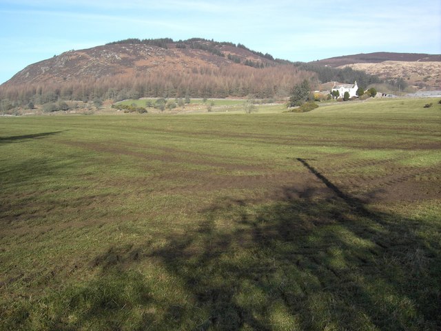
Auchenlosh Hill is a prominent geographical feature situated in the county of Kirkcudbrightshire, located in the southwest region of Scotland. This hill is part of the Galloway Hills range, which is known for its picturesque landscapes and stunning natural beauty. Auchenlosh Hill stands at an elevation of approximately 370 meters (1,214 feet), making it a notable landmark in the area.

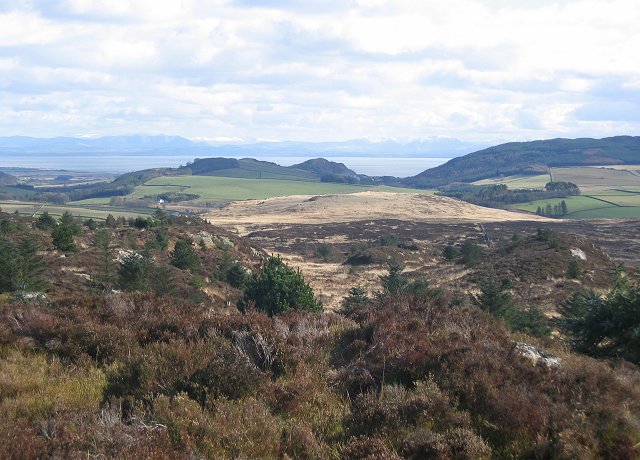
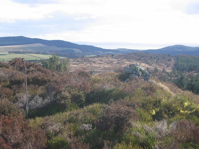
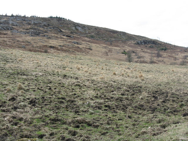
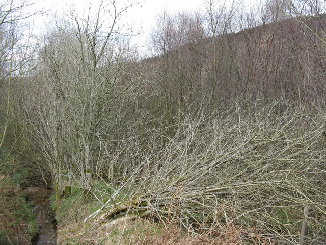
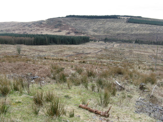
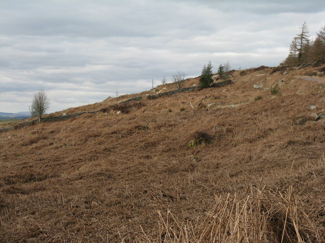
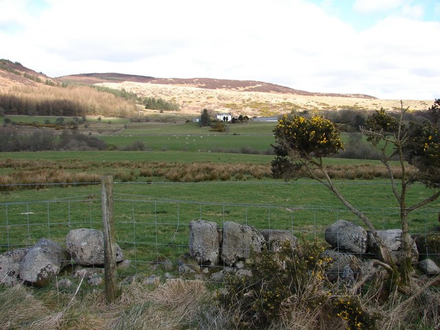
The hill is characterized by its gently sloping terrain, covered predominantly in heather and grasses, with scattered patches of woodland. It offers visitors panoramic views of the surrounding countryside, including the rolling hills and valleys of Kirkcudbrightshire. On clear days, it is possible to see as far as the Solway Firth and the Irish Sea.

Auchenlosh Hill is a haven for nature enthusiasts and wildlife enthusiasts alike. The hill is home to a diverse range of flora and fauna, including various species of birds, mammals, and insects. It is not uncommon to spot red deer, buzzards, and pheasants while exploring the area.

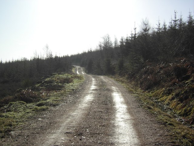
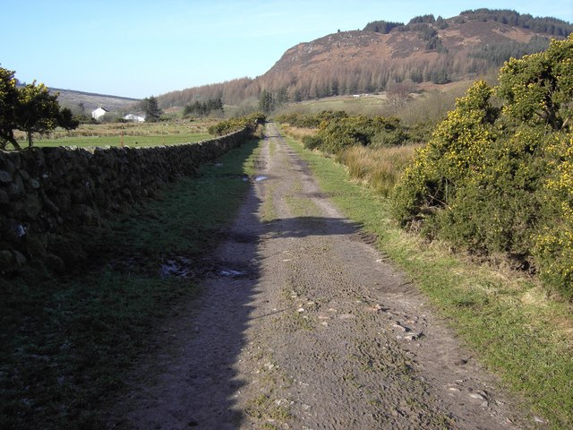
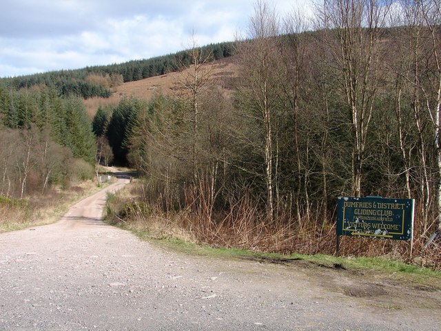
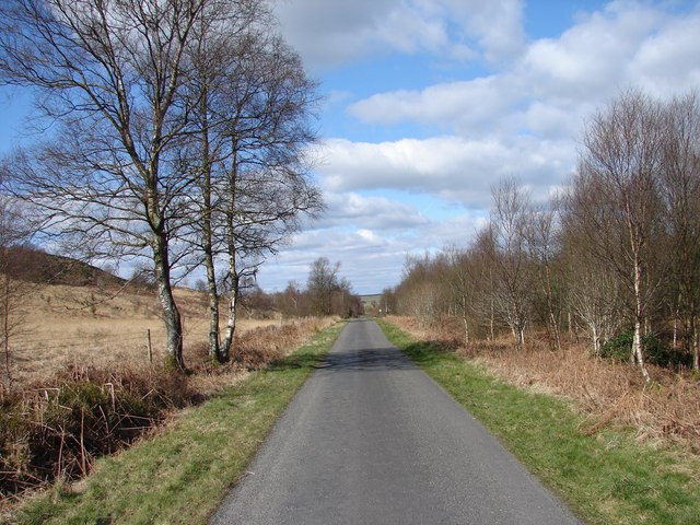
The hill is easily accessible, with several walking trails and footpaths leading to its summit. These trails offer visitors the opportunity to explore the natural wonders of the area at their own pace. Auchenlosh Hill provides a tranquil retreat for those seeking a peaceful escape from the hustle and bustle of everyday life.

Overall, Auchenlosh Hill is a beautiful natural landmark in Kirkcudbrightshire, offering breathtaking views, diverse wildlife, and a peaceful environment for outdoor activities.

If you have any feedback on the listing, please let us know in the comments section below.

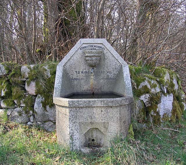
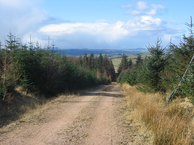
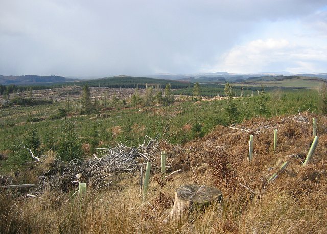
Auchenlosh Hill Images

Images are sourced within 2km of 54.922002/-3.7429878 or Grid Reference NX8859. Thanks to Geograph Open Source API. All images are credited.

Coronation Memorial Fountain Dated 1902 to King Edward VII and erected by Colonel Mackenzie of Auchenskeoch. By the side of the B793.
Coronation Memorial Fountain
Dated 1902 to King Edward VII and erected by Colonel Mackenzie of Auchenskeoch. By the side of the B793.
Woodland, Clawbelly Hill. A pocket of deciduous woodland in the pine forest on Clawbelly. Sadly it's another noxious introduced weed, sycamore.
Woodland, Clawbelly Hill.
A pocket of deciduous woodland in the pine forest on Clawbelly. Sadly it's another noxious introduced weed, sycamore.
Forest road on Clawbelly Hill. Second generation plantings. View northwest to snowshowers crossing the Galloway Hills.
Forest road on Clawbelly Hill.
Second generation plantings. View northwest to snowshowers crossing the Galloway Hills.
Clawbelly Hill. Rough ground with exposed granite and many knolls and bogs. View south with the snow covered Lake District hills across the Solway Firth.
Clawbelly Hill.
Rough ground with exposed granite and many knolls and bogs. View south with the snow covered Lake District hills across the Solway Firth.
Clawbelly Hill. View west from the summit over a felled and replanted area of forest.
Clawbelly Hill.
View west from the summit over a felled and replanted area of forest.
Clawbelly Hill summit. The heathery summit with a view south to St Bee's Head.
Clawbelly Hill summit.
The heathery summit with a view south to St Bee's Head.
Forest, Clawbelly Hill Just on the corner of the square looking south east into it. Nearly all woodland.
Forest, Clawbelly Hill
Just on the corner of the square looking south east into it. Nearly all woodland.
Forest edge, Isles. Taken from just inside the eastern line, the granite dyke marks the edge of the forest. View west,
Forest edge, Isles.
Taken from just inside the eastern line, the granite dyke marks the edge of the forest. View west,
Isles Woodlands Access road up through Isles Woods.
Isles Woodlands
Access road up through Isles Woods.
Round Fell Roundfell Farm with Round Fell behind.
Round Fell
Roundfell Farm with Round Fell behind.
Farm Track A rough farm track leads towards Roundfell Farm.
Farm Track
A rough farm track leads towards Roundfell Farm.
Clawbelly Hill
Clawbelly Hill
Roadside scrub at Southwick Burn
Clawbelly Hill Looking across the valley of Southwick Burn, from the track up to the Gliding club. A lot of the old forestry plantations have now been cleared.
Clawbelly Hill
Looking across the valley of Southwick Burn, from the track up to the Gliding club. A lot of the old forestry plantations have now been cleared.
Bracken on Roundfell Looking north from the forestry track, which also leads to the Dumfries Gliding Club.
Bracken on Roundfell
Looking north from the forestry track, which also leads to the Dumfries Gliding Club.
Roundfell Farm View of Roundfell Farm from Walltrees on the Auchenskeoch-Bargrug lane.
Roundfell Farm
View of Roundfell Farm from Walltrees on the Auchenskeoch-Bargrug lane.
Falgunzeon Airfield track Entry into forest track leading Falgunzeon airfield from the Auchenskeoch-Bargrug lane.
Falgunzeon Airfield track
Entry into forest track leading Falgunzeon airfield from the Auchenskeoch-Bargrug lane.
Auchenskeoch - Bargrug lane View north on the Auchenskeoch-Bargrug lane.
Auchenskeoch - Bargrug lane
View north on the Auchenskeoch-Bargrug lane.
Show me another place!

Auchenlosh Hill is located at Grid Ref: NX8859 (Lat: 54.922002, Lng: -3.7429878)

Unitary Authority: Dumfries and Galloway

Police Authority: Dumfries and Galloway

What 3 Words

///subsystem.taxpayers.grumble. Near Dalbeattie, Dumfries & Galloway

Nearby Locations

Auchenlosh Hill

Related Wikis

Southwick railway station (Scotland)

Southwick (Dumfries & Galloway) railway station served the civil parish of Colvend and Southwick, Dumfries and Galloway, Scotland from 1859 to 1965 on...

Dalbeattie Star F.C.

Dalbeattie Star Football Club is a Scottish association football club based in Dalbeattie, Dumfries and Galloway. It currently competes in the South of...

Dalbeattie

Dalbeattie (, Scots: Dawbeattie, Scottish Gaelic: Dail Bheithe meaning 'haugh of the birch' or Dail bhàite 'drowned (i.e. liable to flood) haugh') is a...

Dalbeattie Town Hall

Dalbeattie Town Hall is a municipal building in the High Street in Dalbeattie, Dumfries and Galloway, Scotland. The structure, which is used as community...

Nearby Amenities

Located within 500m of 54.922002,-3.7429878
Auchenlosh Hill
Natural: peak
Lat/Long: 54.9207486/-3.742158
The data included in this document is from www.openstreetmap.org. The data is made available under ODbL.

Have you been to Auchenlosh Hill?

Leave your review of Auchenlosh Hill below (or comments, questions and feedback).