Beinn Mheadhonach
Hill, Mountain in Perthshire
Scotland
Beinn Mheadhonach

Beinn Mheadhonach, located in Perthshire, Scotland, is a prominent hill/mountain standing at an elevation of 618 meters (2,028 feet). This distinctive peak forms part of the Grampian Mountains and lies approximately 10 kilometers southwest of Pitlochry. Its Gaelic name translates to "middle hill," which accurately describes its position nestled between the neighboring peaks of Beinn Dearg and Ben Vrackie.
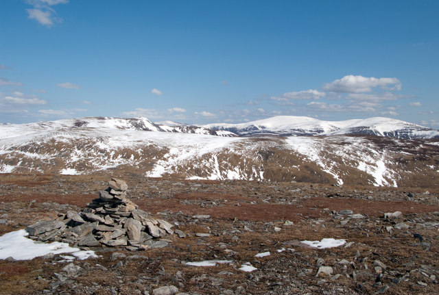
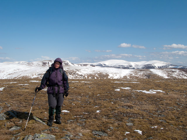
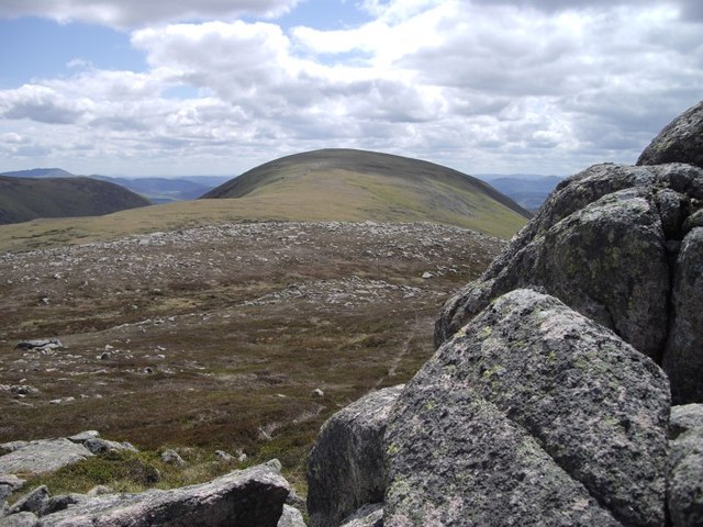
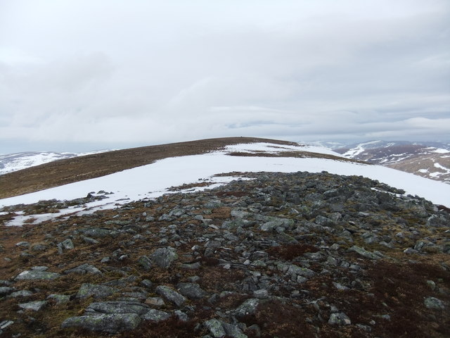
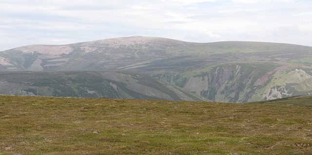
Beinn Mheadhonach is a prominent feature in the landscape and offers breathtaking views of the surrounding countryside. The summit provides panoramic vistas stretching across the vast expanse of Perthshire, including the nearby Loch Tummel and the rolling hills that characterize this picturesque region.
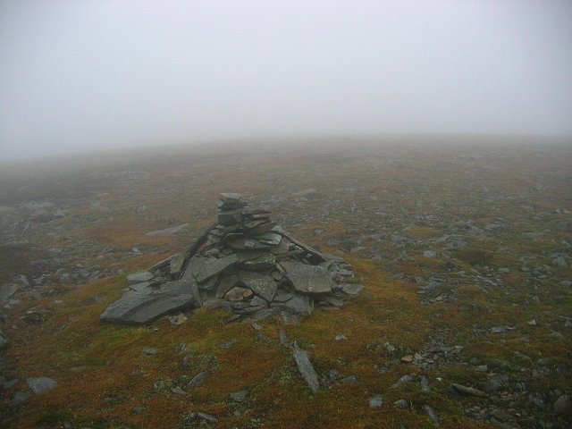
The ascent to the summit of Beinn Mheadhonach can be challenging, with steep slopes and uneven terrain, but it is a popular destination for hikers and outdoor enthusiasts seeking a moderate to difficult trek. There are several established trails leading to the top, the most common being the route starting from the village of Blair Atholl.
The hill/mountain is predominantly composed of schist and quartzite, giving it a rugged and rocky appearance. Its exposed slopes are covered in heather and grasses, creating a beautiful contrast against the grayish hues of the rock formations.
Beinn Mheadhonach offers a diverse range of flora and fauna, including various bird species, such as golden eagles and peregrine falcons, as well as red deer and mountain hares. The surrounding area is also home to a rich assortment of plant life, including heather, bilberry, and wildflowers.
Overall, Beinn Mheadhonach is an impressive hill/mountain that provides a challenging yet rewarding outdoor experience for those seeking to explore the natural beauty of Perthshire.
If you have any feedback on the listing, please let us know in the comments section below.
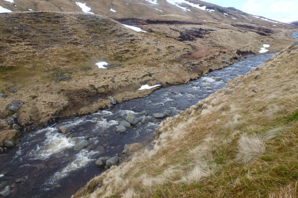
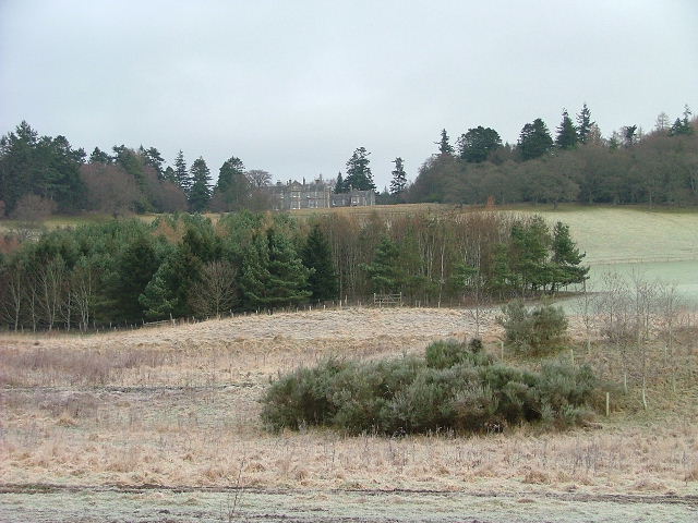
Beinn Mheadhonach Images
Images are sourced within 2km of 56.860148/-3.8383305 or Grid Reference NN8875. Thanks to Geograph Open Source API. All images are credited.


Beinn Mheadhonach is located at Grid Ref: NN8875 (Lat: 56.860148, Lng: -3.8383305)
Unitary Authority: Perth and Kinross
Police Authority: Tayside
What 3 Words
///hedgehog.orbit.hasten. Near Blair Atholl, Perth & Kinross
Nearby Locations
Related Wikis
Beinn Dearg (Blair Atholl)
Beinn Dearg (1,009 m) is a mountain in the Grampian Mountains of Scotland. It lies north of the Perth and Kinross village of Blair Atholl, in the Forest...

Carn a' Chlamain
Càrn a' Chlamain (Gaelic: Càrn a' Chlamhain) is a Scottish mountain situated roughly 12 kilometres north of Blair Atholl in the Forest of Atholl. It is...

Glen Tilt
Glen Tilt (Scottish Gaelic: Gleann Teilt) is a glen in the extreme north of Perthshire, Scotland. Beginning at the confines of Aberdeenshire, it follows...
Forest of Atholl
The Forest of Atholl (also known as Atholl Forest) is a deer forest near the Scottish village of Blair Atholl, Perth and Kinross, first recorded in the...

Beinn a' Ghlò
Beinn a’ Ghlò is a Scottish mountain situated roughly 10 km (6 mi) north east of Blair Atholl in the Forest of Atholl in between Glen Tilt and Glen Loch...

Càrn Liath (Munro)
Carn Liath (976 m) is a mountain in the Grampian Mountains of Scotland. It lies east of Blair Atholl in Perthshire, Scotland. Although belonging to the...

Carn an Fhidhleir
Carn an Fhidhleir (994 m) is a mountain in the Grampian Mountains of Scotland. It lies on the border of Inverness-shire, Perthshire and Aberdeenshire,...
Lude House
Lude House (also known as House of Lude or Lude Estate) is a Category B listed country house and estate in Blair Atholl, Perth and Kinross, Scotland. It...
Nearby Amenities
Located within 500m of 56.860148,-3.8383305Have you been to Beinn Mheadhonach?
Leave your review of Beinn Mheadhonach below (or comments, questions and feedback).