Blaen-y-clawdd-du
Hill, Mountain in Montgomeryshire
Wales
Blaen-y-clawdd-du
Blaen-y-clawdd-du is a prominent hill/mountain located in Montgomeryshire, Wales. It stands tall at an elevation of approximately 500 meters (1640 feet) above sea level. The name Blaen-y-clawdd-du translates to "The source of the black dyke" in English, referencing the nearby blackened earthworks.
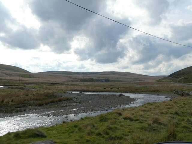
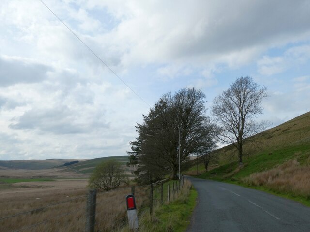
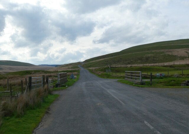
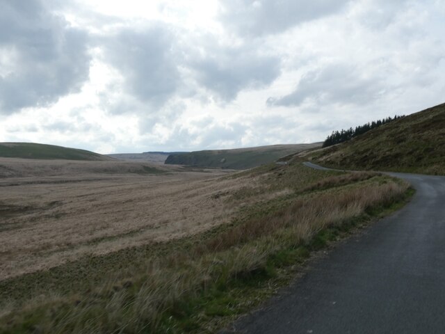
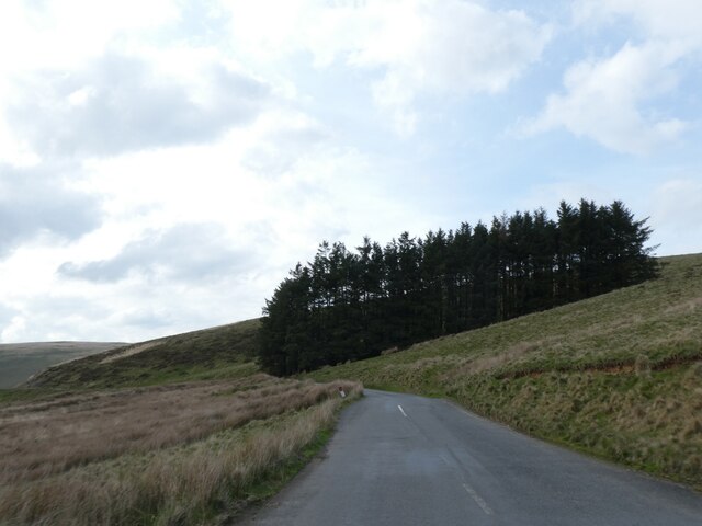
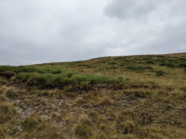
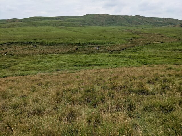
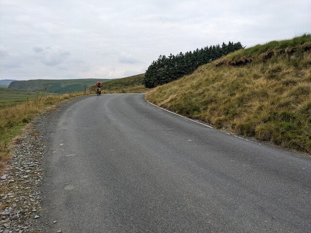
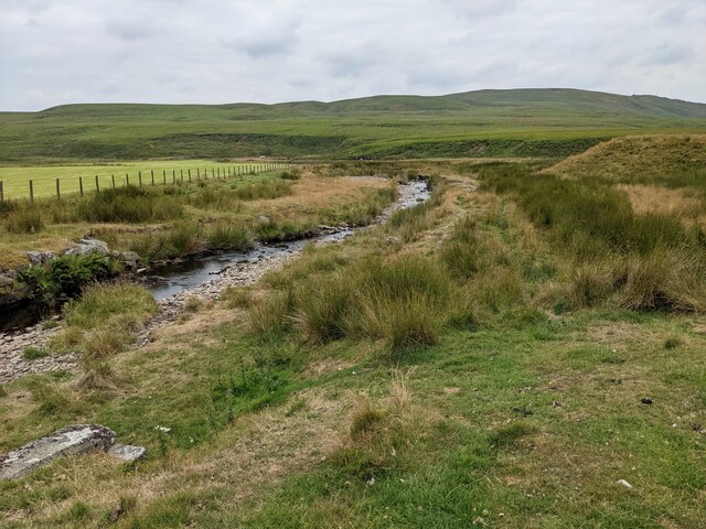
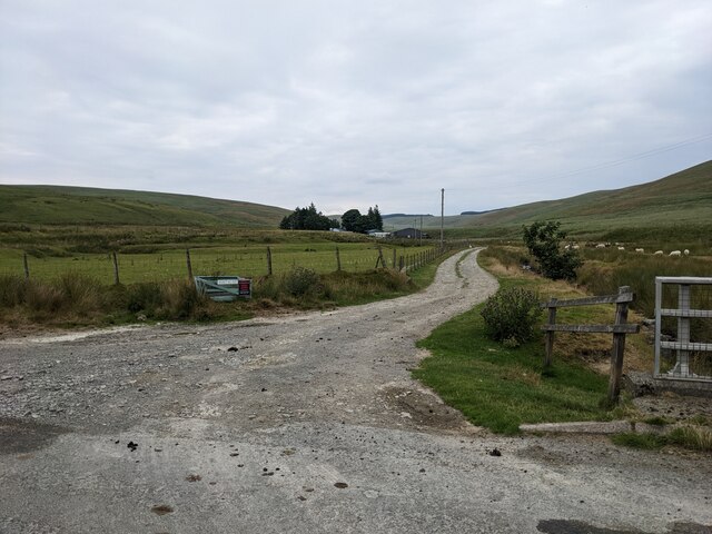
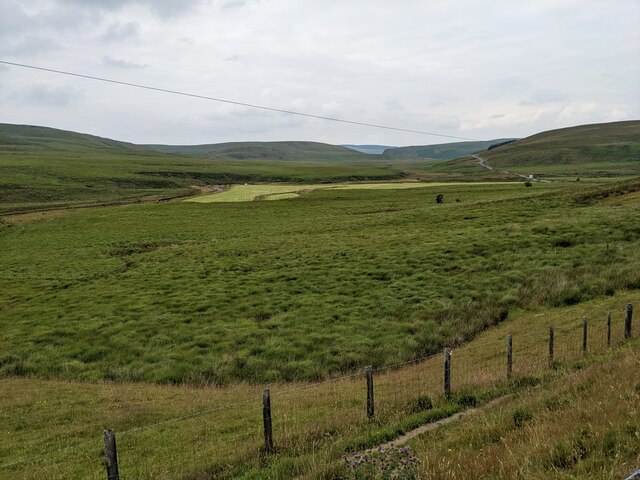
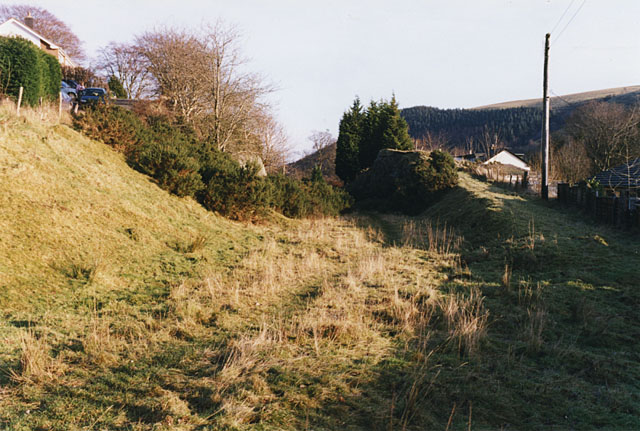
This geographical feature is situated within a picturesque landscape, characterized by rolling hills and lush greenery. Blaen-y-clawdd-du offers breathtaking panoramic views of the surrounding countryside, making it a popular destination for nature enthusiasts and hikers.
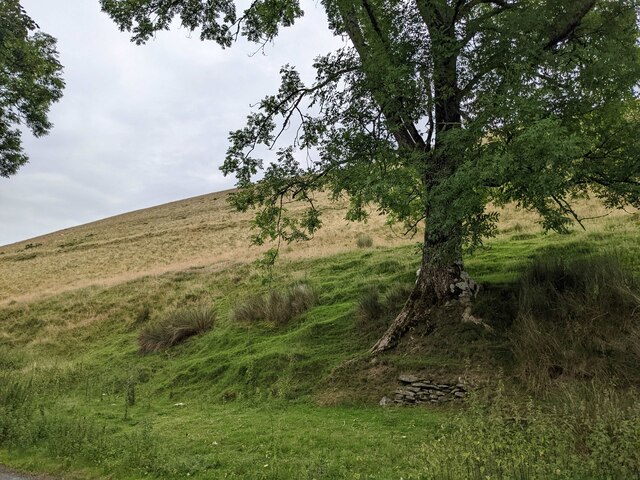
The mountain is known for its diverse flora and fauna, hosting a variety of plant species and serving as a habitat for several bird species. The area is also rich in history, with evidence of Bronze Age settlements and ancient burial sites discovered in the vicinity.
Reaching the summit of Blaen-y-clawdd-du can be challenging, as the terrain is steep and rocky in places. However, the reward is worth the effort, with stunning vistas stretching as far as the eye can see. On a clear day, visitors can enjoy sweeping views of the Montgomeryshire countryside, including the nearby towns and villages.
Blaen-y-clawdd-du is a place of natural beauty and historical significance, offering a serene and tranquil environment for those seeking solace in nature or an adventure amidst the Welsh countryside.
If you have any feedback on the listing, please let us know in the comments section below.
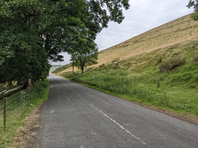
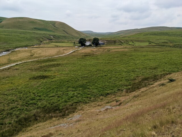
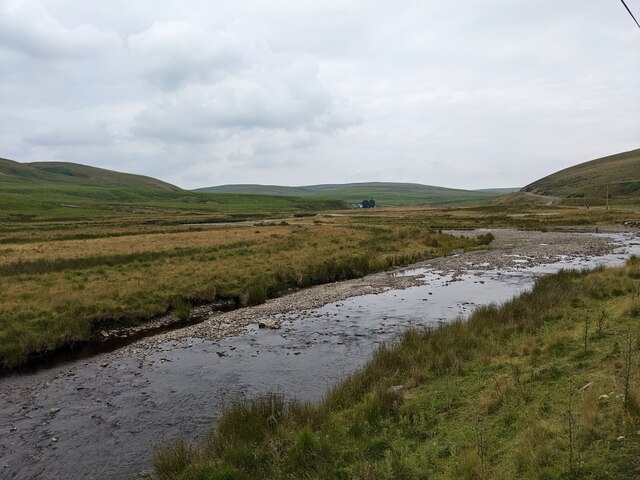
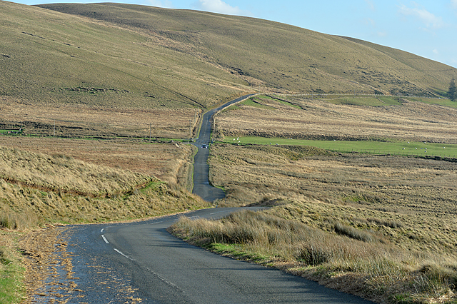
Blaen-y-clawdd-du Images
Images are sourced within 2km of 52.363954/-3.6489884 or Grid Reference SN8775. Thanks to Geograph Open Source API. All images are credited.


Blaen-y-clawdd-du is located at Grid Ref: SN8775 (Lat: 52.363954, Lng: -3.6489884)
Unitary Authority: Powys
Police Authority: Dyfed Powys
What 3 Words
///scout.televise.gentle. Near Cwmystwyth, Ceredigion
Nearby Locations
Related Wikis

Elenydd
The Elenydd (Welsh: [ɛˈlɛnɨð]) is an upland area of Mid Wales, extending across parts of northern and eastern Ceredigion and Powys between Aberystwyth...

Llangurig
Llangurig is both a village and a community in Montgomeryshire, Powys, Wales. The population was 723 in the 2011 UK Census. The community includes the...
Llangurig railway station
Llangurig railway station was intended to serve the village and rural locale of Llangurig in the Welsh county of Powys. The station, which was on the Llangurig...

Llangurig branch
The Llangurig branch was a part of a proposed scheme by the Manchester and Milford Railway (M&MR) to connect industrialised Northwest England with the...
Nearby Amenities
Located within 500m of 52.363954,-3.6489884Have you been to Blaen-y-clawdd-du?
Leave your review of Blaen-y-clawdd-du below (or comments, questions and feedback).